





 Road
Road  Weather


About
The longest highland road. 200km through Iceland's empty middle. No gas, no shops, no nothing.
This road takes something from you. 6 hours of nothing but you and the desert. Most people turn back. Finishing it feels like an achievement.
The name means 'exhausted horses road.' Back in the day, horses died trying to cross this. People thought ghosts lived here. Honestly, it still feels haunted.
Your car drinks twice as much fuel on soft sand. Cross rivers before 10am when water's lowest. Stop at Nýidalur and ask rangers about conditions - they know.
You want to feel truly alone? This is it. Black sand desert for hours. Glaciers on both sides. It's like driving on another planet.
Sunrise makes the black sand look golden. The oasis at Nýidalur is your only green - use it in your shots.
Best place to spot reindeer in Iceland. They hang out here in late summer. Arctic foxes too, especially near Nýidalur.
Map of Sprengisandsleið
64.8000°N, 18.0000°W · Highlands
Plan your visit
 Getting there
- Road F910 (Gæsavötn)
 Nearest town
- Hrafnagil — 87.2 km away
 Distance from Reykjavík
- 202 km in a straight line
 What else is close
- 40 mapped places within 20 km
 Good to know
- Reached on an F-road. Icelandic law requires a 4WD vehicle on F-roads, and they open only for the summer season — check the current status before setting out.
Tours near Sprengisandsleið
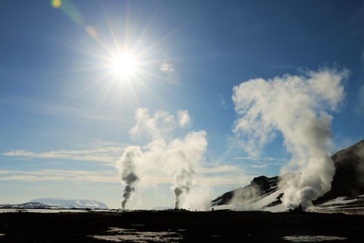 Lake Mývatn & Northern Ligths - Winter Combofrom 35.840 ISK · 3 days
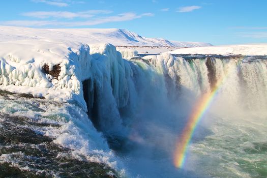 Goðafoss, Forest Lagoon & Northern Lights - Winter Combofrom 35.840 ISK · 3 days
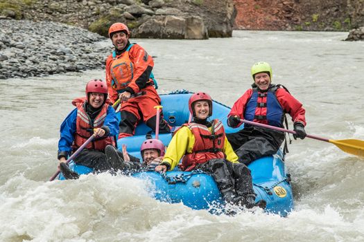 Family Rafting (West)from 21.990 ISK · 3 h 30 min
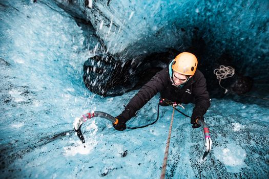 Ice Climbing Captured in Skaftafellfrom 32.500 ISK · 4 h
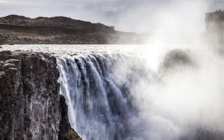 Dettifoss & Goðafoss Waterfall w/packed Lunch Small Group from Akureyri Portfrom 36.000 ISK · 7 h
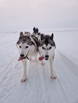 Siberian Husky Dog Sleddingfrom 40.000 ISK · 2 h
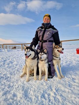 Siberian Husky Kennel Visitfrom 10.000 ISK · 1 h
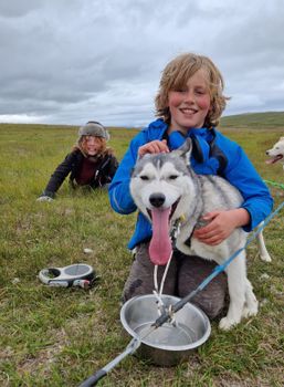 Summer Dog sleddingfrom 30.000 ISK · 1 h 30 min
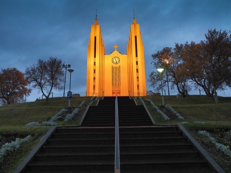 Akureyri City Walk & Local Foodfrom 16.900 ISK · 3 h
 Blue Ice - Glacier Hike & Ice Climbing from Reykjavíkfrom 32.990 ISK · 13 h 30 min
 Golden Circle and Laugarás Lagoon Lerki Admissionfrom 23.039 ISK · 9 h 30 min
 Spirit of the Aurora (28 person max vehicle)from 14.990 ISK · 5 hAll 1,648 toursBy activity and region
Is F26 open right now?
Live from Vegagerðin, the authority that opens and closes this road. Every other highland road is on the live F-road map.
1 highland road reported · 1 closed or closed in places · Vegagerðin, updated 3 min ago
| F-road | Status now | Vegagerðin's wording |
|---|---|---|
| F26 Sprengisandsleið | Impassable | Ófært |
F26 typically opens Late June and closes Early September — always confirm on road.is before you drive.
Sprengisandsleið weather and conditions
Last updated

Cars & campers
 KEF airport pickup 24/74.8
 Transmission
 Fuel
Fuel Seats
Seats Drive
Drive

 Sleeps
Photos & videos
Nearby
km column = your drive
- 1
 Jökuldalsvegur11 km
 - 2Dragaleið32 km
- 3Skagafjarðarleið39 km
- 4
 Austurleið48 km
 - 5Eyjafjarðarleið50 km

 Waterfalls

 Hot springs
- 1Laugafell30 km
- 2Sundlaug63 km
- 3Geothermal hot spring near Hrunamannahreppur63 km

 Fuel
Fuel

 Supermarkets

 Tours
Tours
 (Cruise Ships) Lake Mývatn and Goðafossfrom 25.300 ISK · 6 hours 30 minutes
 (RS) Lake Myvatn & Godafoss Waterfall Day Tour from Akureyrifrom 25.900 ISK · 6 hours
  A Gourmet golden circle - a taste of Iceland combined with amazing nature attractions!from 159.000 ISK · 8 hours
Frequently
asked
questions
What car do I need for F26?
Can I drive F26 in a 2WD car?
When does F26 open?
How do I get to F26?
Is river-crossing damage covered by rental insurance on F26?
Data & sources
Everything on this page comes from the sources below. Live feeds refresh automatically.
 Wikimedia CommonsHero & gallery photography · gesturpa · Wikimedia Commons · CC BY-SA 2.5
 VegagerðinVisitor access & practical facts
 VegagerðinLive road status & cameras · Icelandic Road Administration
 Open-MeteoWeather forecast · CC BY 4.0
 NOAA SWPCAurora (planetary Kp) forecast · public domain
 OpenStreetMapInteractive-map data · ODbL
 Esri, Maxar & Earthstar GeographicsSatellite imagery for the 3D terrain render · GIS User Community
Spotted an error, or have something to add? Help us keep this page accurate.