




 Road
Road  Weather


About
Gýgjarfoss is a waterfall on the Jökulfall river in the Icelandic Highlands.
It lies on the river Jökulfall á Kili and is about 5 metres high and 20 metres wide. The waterfall is located directly beside the Kerlingarfjallavegur (road F347), which branches off the Kjalvegur (road 35) on the Kjölur route and leads into the Kerlingarfjöll mountains. At this point the Blákvísl stream also plunges down; in the past it had to be forded just above the waterfall, near the fall's edge, before a bridge was built there.
Translated from Icelandic Wikipedia · CC BY-SA 4.0
Map of Gýgjarfoss
64.7031°N, 19.3962°W · Highlands
Tours near Gýgjarfoss
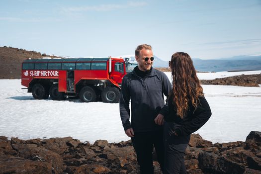 Red Glacier Monster Truck Tour - Unique Langjökull Glacier Tour from Gullfossfrom 22.900 ISK · 4 h
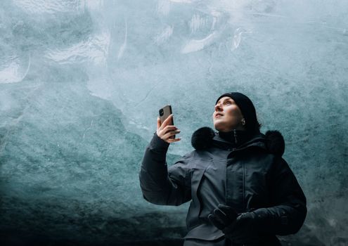 Ice Cave and Glacier Tour in Glacier Monster Truck from Gullfossfrom 24.900 ISK · 4 h
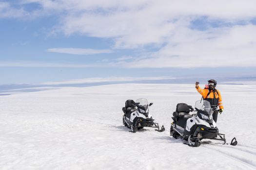 Into The Glacier - With Snowmobiling From Klaki Base Campfrom 36.900 ISK · 2 h 30 min
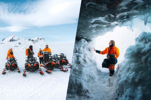 Glacier Snowmobiling & Ice Cave from Geysir Areafrom 38.990 ISK · 5 h
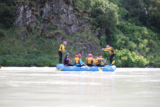 Family Fun Raftingfrom 19.990 ISK · 3 h
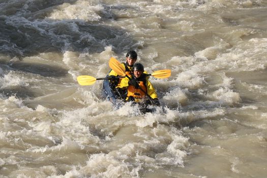 Kayak River Ridefrom 30.990 ISK · 3 h
 River Fun Raftingfrom 22.990 ISK · 3 h
 Krauma nature baths - Admission feefrom 7.900 ISK · 1 h
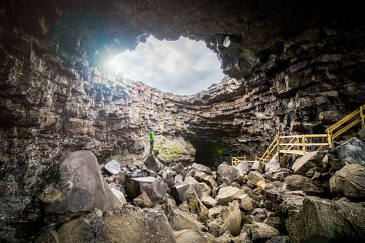 Cave Explorerfrom 9.000 ISK · 1 h 30 min
 Blue Ice - Glacier Hike & Ice Climbing from Reykjavíkfrom 32.990 ISK · 13 h 30 min
 Golden Circle and Laugarás Lagoon Lerki Admissionfrom 23.039 ISK · 9 h 30 min
 Spirit of the Aurora (28 person max vehicle)from 14.990 ISK · 5 hAll 1,648 toursBy activity and region
Gýgjarfoss weather and conditions
Last updated

Cars & campers
 KEF airport pickup 24/74.8
 Transmission
 Fuel
Fuel Seats
Seats Drive
Drive

 Sleeps
Photos & videos
No verified videos yet — we only show footage confirmed to be Gýgjarfoss, no lookalikes. Search YouTube
Nearby
km column = your drive
- 1Skuggafoss10 km
- 2Hvanngiljafoss37 km
- 3
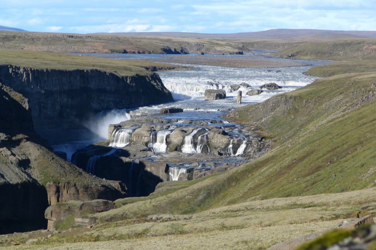 Dynkur42 km
 - 4Gljúfurleitarfoss43 km
- 5Nýifoss48 km

 Hot springs
All hot springs →
%20high%20temperature%20area%2C%20Iceland%20(8).jpg?width=1280)
 Fuel
Fuel

 Supermarkets
 Tours
Tours
 (Cruise Ships) Lake Mývatn and Goðafossfrom 25.300 ISK · 6 hours 30 minutes
 (RS) Lake Myvatn & Godafoss Waterfall Day Tour from Akureyrifrom 25.900 ISK · 6 hours
  A Gourmet golden circle - a taste of Iceland combined with amazing nature attractions!from 159.000 ISK · 8 hours
Frequently
asked
questions
How do I get to Gýgjarfoss?
Is Gýgjarfoss free to visit?
What is the best time to visit Gýgjarfoss?
Data & sources
Everything on this page comes from the sources below. Live feeds refresh automatically.
 PhotographyHero & gallery photography · rheins · CC BY 3.0
 Icelandic WikipediaEncyclopedic description · CC BY-SA 4.0
 VegagerðinLive road status & cameras · Icelandic Road Administration
 Open-MeteoWeather forecast · CC BY 4.0
 NOAA SWPCAurora (planetary Kp) forecast · public domain
 OpenStreetMapInteractive-map data · ODbL
 Esri, Maxar & Earthstar GeographicsSatellite imagery for the 3D terrain render · GIS User Community
Spotted an error, or have something to add? Help us keep this page accurate.