





 Road
Road  Weather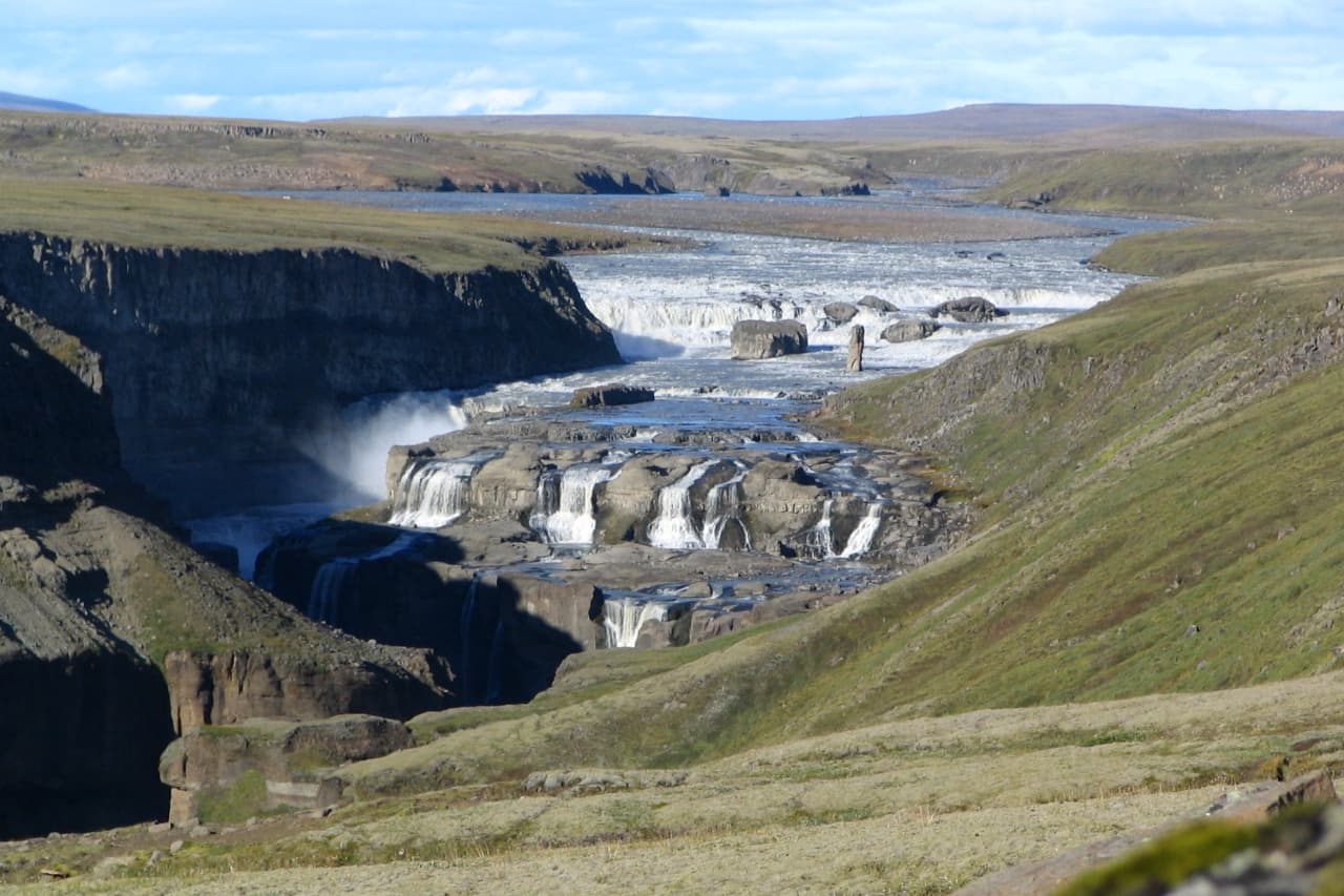
Media


About
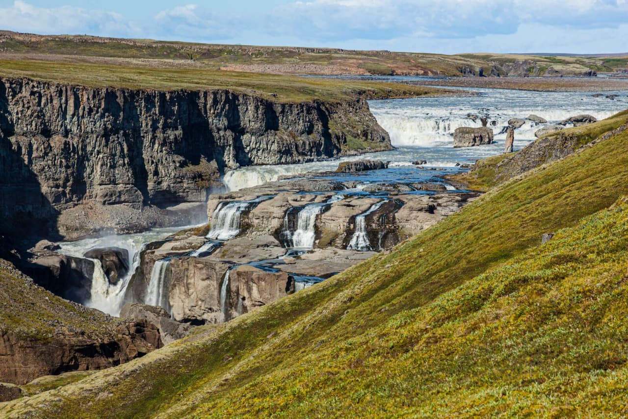
Dynkur is a 38-meter waterfall on the Þjórsá river in the Icelandic Highlands.
It is about 38 metres high, where the Þjórsá drops over many ledges in a series of small cascades that together form a single waterfall system. People from the Holt area call it Búðarhálsfoss, while those from Gnúpverjar call it Dynkur. The falls are best seen from the eastern bank of the Þjórsá, reached by driving along Búðarháls from the bridge over the Tungnaá at Hald.
Translated from Icelandic Wikipedia · CC BY-SA 4.0
Map of Dynkur
Map
64.3387°N, 19.1930°W · Highlands
Plan your visit
 Getting there
- Road 32
 Parking
- Accessible from the Búðarháls side (east)
 Off the main road
- 10.9 km from Route 26
 Nearest town
- Bláskógabyggð — 58.6 km away
 Distance from Reykjavík
- 135 km in a straight line
 What else is close
- 21 mapped places within 20 km
 Good to know
- ~38 m highmade up of many small waterfalls cascading over multiple ledges/pedestals into one fallsproduces rainbows in sunshineaccess road (Route 32) only suitable for 4WD/off-road vehicles
Tours near Dynkur
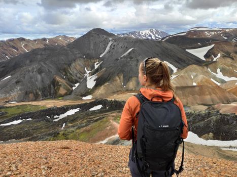 Highlands Hiking: Small Group Landmannalaugar Hike & Hot Springs - Without transferfrom 16.500 ISK · 5 h
 Bus transfer from Landmannalaugar to Hella / Reykjavikfrom 12.220 ISK · 4 h
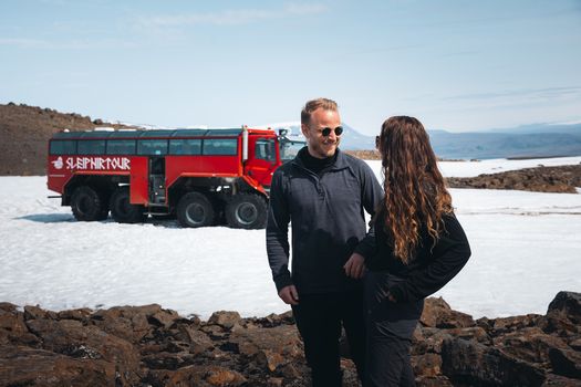 Red Glacier Monster Truck Tour - Unique Langjökull Glacier Tour from Gullfossfrom 22.900 ISK · 4 h
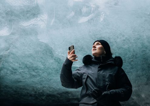 Ice Cave and Glacier Tour in Glacier Monster Truck from Gullfossfrom 24.900 ISK · 4 h
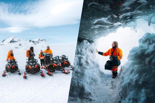 Glacier Snowmobiling & Ice Cave from Geysir Areafrom 38.990 ISK · 5 h
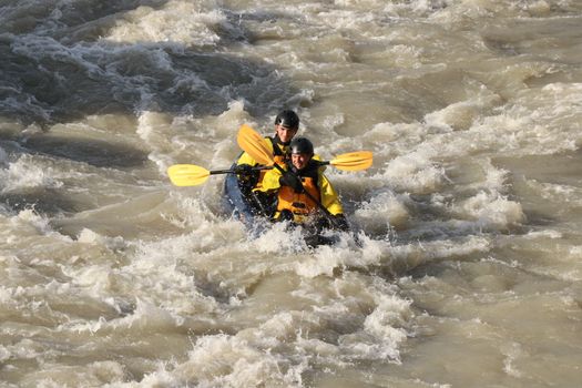 Kayak River Ridefrom 30.990 ISK · 3 h
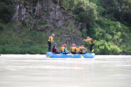 Family Fun Raftingfrom 19.990 ISK · 3 h
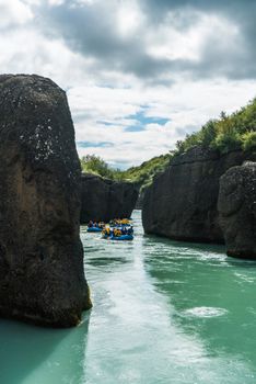 River Fun Raftingfrom 22.990 ISK · 3 h
 Secret Lagoon Admissionfrom 4.500 ISK · 1 h 30 min
 Blue Ice - Glacier Hike & Ice Climbing from Reykjavíkfrom 32.990 ISK · 13 h 30 min
 Golden Circle and Laugarás Lagoon Lerki Admissionfrom 23.039 ISK · 9 h 30 min
 Spirit of the Aurora (28 person max vehicle)from 14.990 ISK · 5 hAll 1,648 toursBy activity and region
Dynkur weather and conditions
Last updated
3°Covercast · feels -3°C8 m/sgusts 139 h 50 mdaylight · 08:07 – 17:57

Tonight
Northern lights forecast by region
In season now · Winter in IcelandBlue Ice - Glacier Hike & Ice Climbing from Reykjavíkfrom 32.990 ISK · 13 h 30 minAll 1,648 tours
Cars & campers
−12%exclusive discountFree cancellation KEF airport pickup 24/74.8
KEF airport pickup 24/74.8
 Transmission
 Fuel
Fuel Seats
Seats Drive
Drive

 Sleeps
Photos & videos
Nearby
km column = your drive
- 1Gljúfurleitarfoss4 km
- 2Hvanngiljafoss7 km
- 3Fagrifoss9 km
- 4
Háifoss28 km
- 5
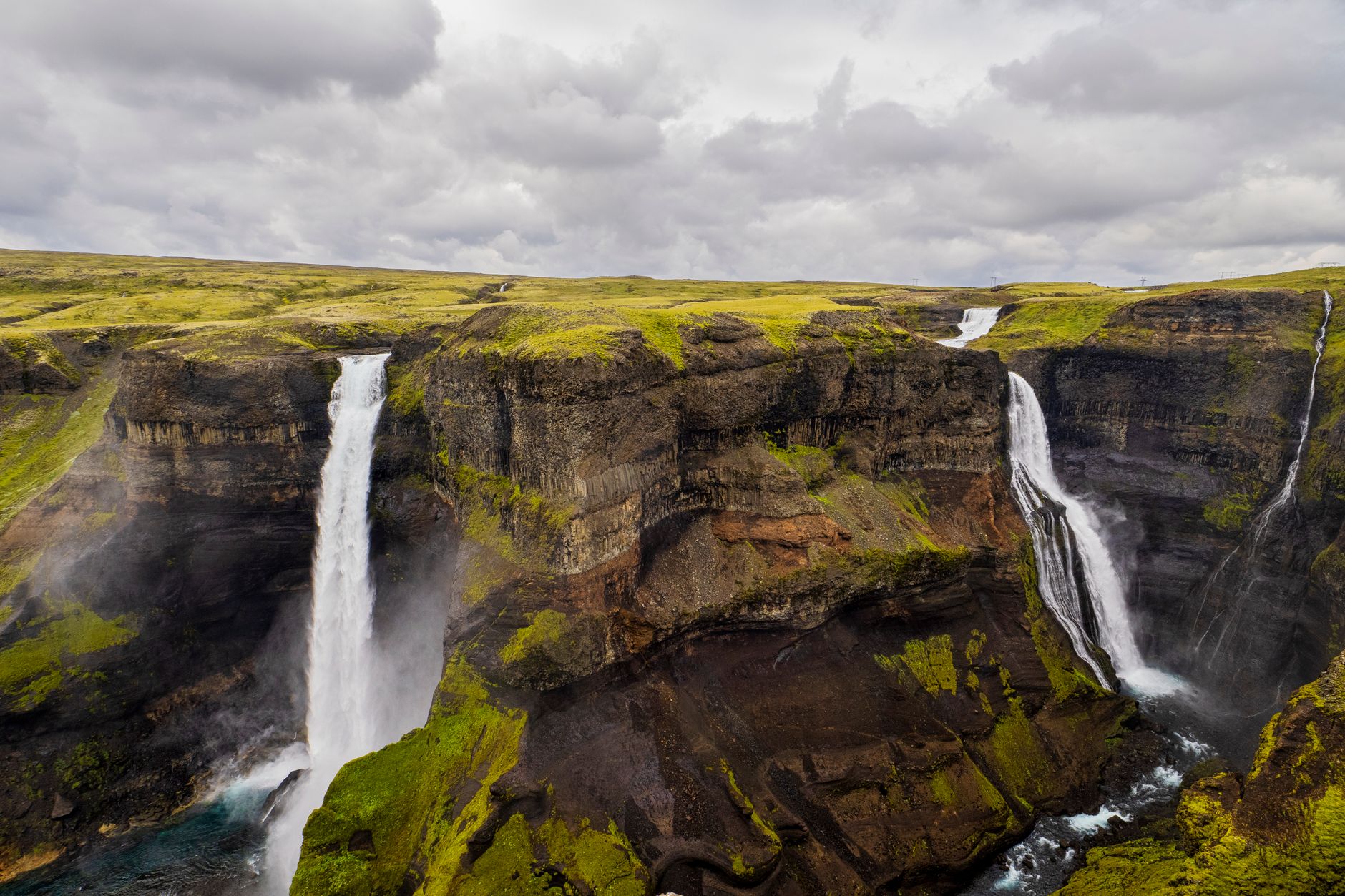 Granni28 km

 Waterfalls
 Hot springs
- 1Baðlaug Kerlingarfjöll Hot Spring33 km
- 2
%20high%20temperature%20area%2C%20Iceland%20(8).jpg?width=1280) Hveradalir34 km
Hveradalir34 km - 3Natural hot pot near Skeiða- og Gnúpverjahreppur36 km

 Fuel
Fuel

 Supermarkets
 Tours
Tours
 (Cruise Ships) Lake Mývatn and Goðafossfrom 25.300 ISK · 6 hours 30 minutes
 (RS) Lake Myvatn & Godafoss Waterfall Day Tour from Akureyrifrom 25.900 ISK · 6 hours
  A Gourmet golden circle - a taste of Iceland combined with amazing nature attractions!from 159.000 ISK · 8 hours
Frequently
asked
questions
How do I get to Dynkur?
Dynkur is located in Highlands. Check live road conditions on this page before you drive.
Is Dynkur free to visit?
Most Icelandic waterfalls are free to enter. Parking may cost 700–1000 ISK — use the Parka app or pay on-site.
What is the best time to visit Dynkur?
Dynkur is accessible year-round. Summer offers the best light; winter can be dramatic but check road conditions first.
Data & sources
Everything on this page comes from the sources below. Live feeds refresh automatically.
 PhotographyHero & gallery photography · Photo: Visit South Iceland
 Icelandic WikipediaEncyclopedic description · CC BY-SA 4.0
 VegagerðinLive road status & cameras · Icelandic Road Administration
 Open-MeteoWeather forecast · CC BY 4.0
 NOAA SWPCAurora (planetary Kp) forecast · public domain
 OpenStreetMapInteractive-map data · ODbL
 Esri, Maxar & Earthstar GeographicsSatellite imagery for the 3D terrain render · GIS User Community
Spotted an error, or have something to add? Help us keep this page accurate.
Iceland nowfrom 19 Sep 06:10