



Fly Over Iceland
A free flight game over real Icelandic terrain — 14 regions built from 2-metre elevation data, in your browser.
Fly Over Iceland is a free browser flight game over real Icelandic terrain. Pick one of 14 regions, take off, and fly. No download, no account, works on phone and desktop.
What you actually do
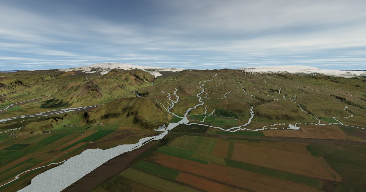
You fly. There is no score and nothing to unlock. Take off above Skógafoss, climb over the Eyjafjallajökull ice cap, follow a glacial river to the coast, then drop to fifty metres and buzz the surf. Pick your plane and its paint in the hangar first — there are five, from a 1916 biplane to a small airliner.
Other people flying the same region show up as real planes with their own callsigns, and a few AI pilots keep the sky occupied when it is quiet. Fly into the glowing portal and you warp to the next region. The Reykjanes region has a live eruption at the real fissures — see the Reykjanes eruption in 3D, with the real drone scans beside it.
Where you can fly
Each region is a 30 × 30 km slice of real Iceland. They are separate worlds rather than one continuous country — that is the trade that keeps the terrain at 2-metre detail instead of a blurry whole-island mesh.
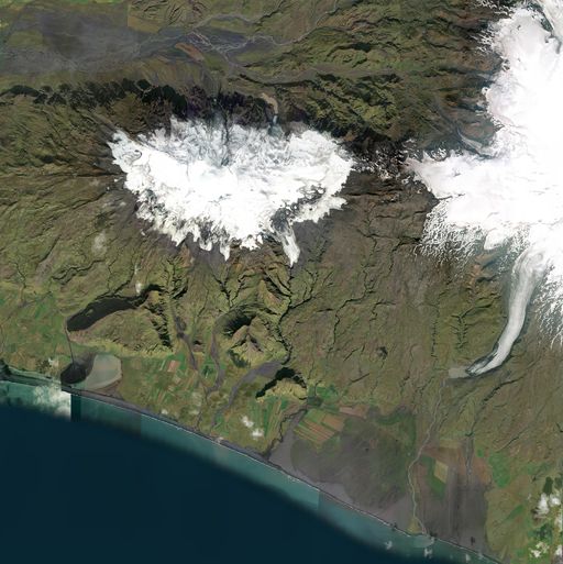 Skógafoss & Eyjafjallajökull
The classic south coast — Skógafoss and the volcano that grounded Europe in 2010
Peaks to 1705 m · Skógafoss
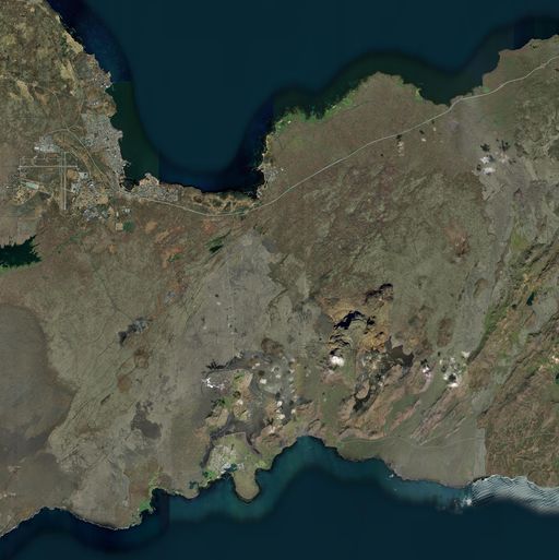 Reykjanes Eruption Zone
The peninsula that keeps erupting — Fagradalsfjall, Sundhnúkur and Grindavík
Peaks to 464 m · Reykjanes
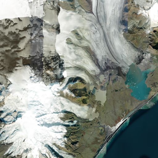 Jökulsárlón & Öræfajökull
The iceberg lagoon under Iceland's highest peak (2,110 m)
Peaks to 2178 m · Iceland’s glaciers
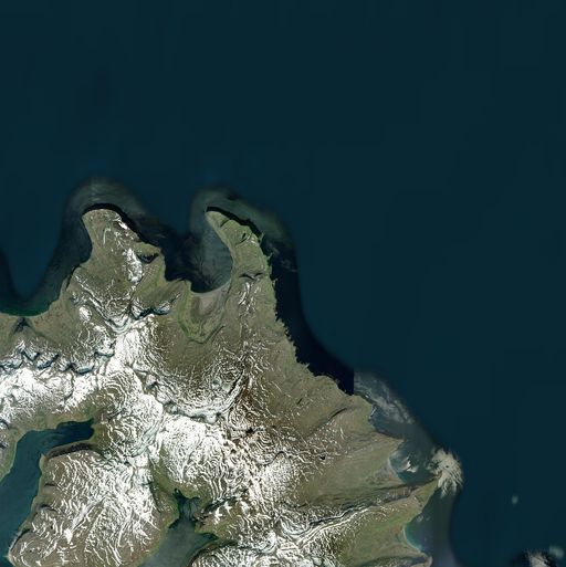 Hornstrandir
Sea cliffs and arctic-fox country at the Westfjords' northern tip
Peaks to 779 m · Westfjords hikes
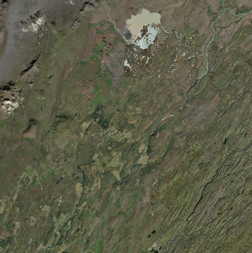 Gullfoss & Geysir
The Golden Circle's heavyweights — Gullfoss and the geyser that named them all
Peaks to 1074 m · Gullfoss
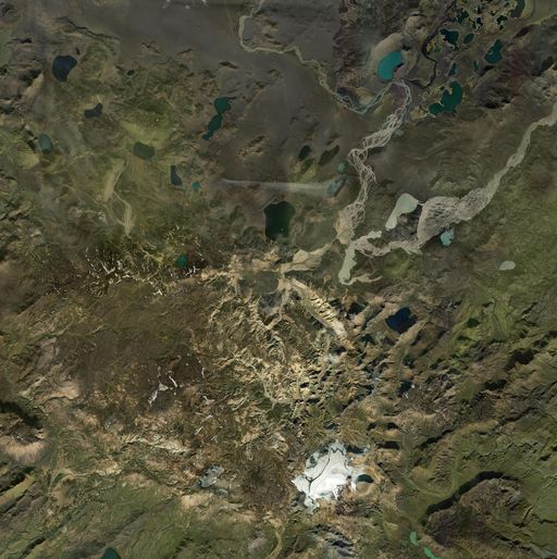
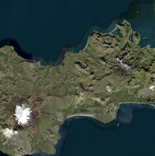 Snæfellsjökull & Kirkjufell
The glacier Jules Verne dug through, plus Iceland's most photographed mountain
Peaks to 1489 m · Snæfellsnes hikes
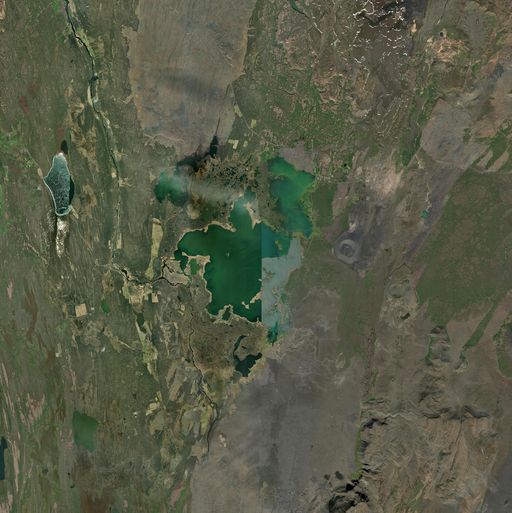 Mývatn & Krafla
Volcanic lake country — pseudocraters, Dimmuborgir and the Krafla fires
Peaks to 1076 m · Mývatn nature baths
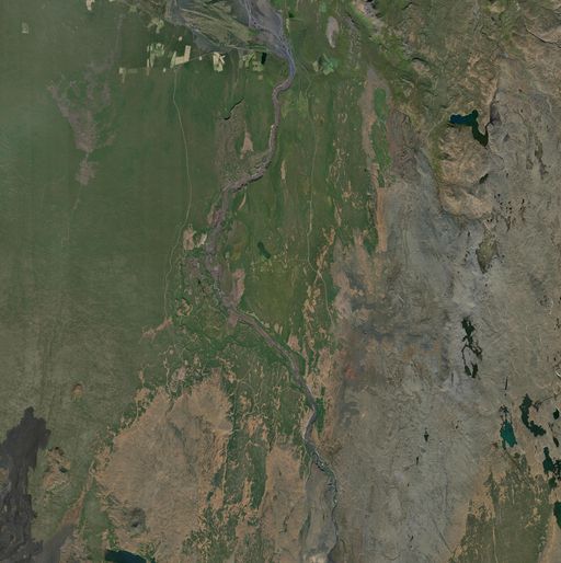 Dettifoss & Ásbyrgi
Europe's most powerful waterfall and the horseshoe canyon downstream
Peaks to 761 m · Dettifoss
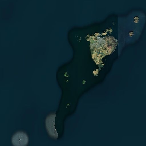 Vestmannaeyjar
The Westman Islands — a volcano buried a town here in 1973
Peaks to 346 m · Hot springs
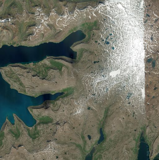 Dynjandi & Arnarfjörður
The Westfjords' biggest waterfall, fjord after fjord after fjord
Peaks to 981 m · Dynjandi
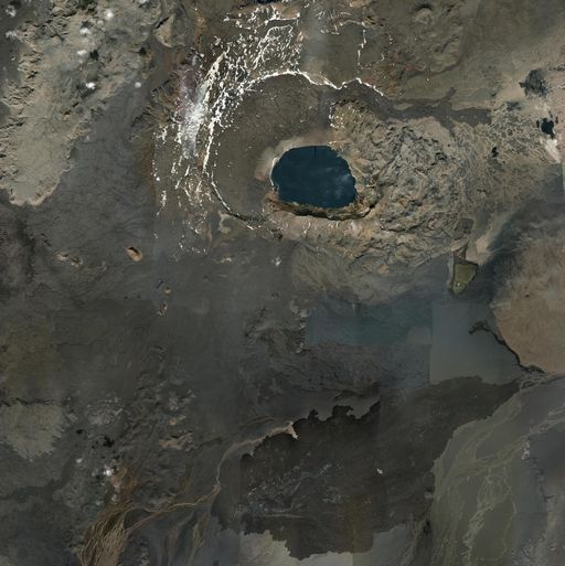 Askja & Holuhraun
A caldera deep in the highlands — Apollo astronauts trained here
Peaks to 1584 m · Highland hikes
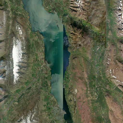 Eyjafjörður & Akureyri
Iceland's longest fjord, all the way down to the capital of the north
Peaks to 1278 m · North Iceland
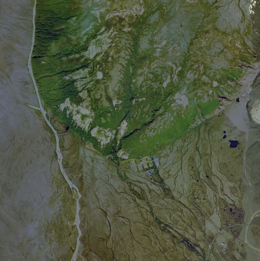 Skaftafell
Waterfall valley below Vatnajökull — trail-flyover prototype (tight bbox for close-up detail)
Peaks to 527 m · Skaftafell hikes
How we built it
The whole thing is one static page of plain JavaScript modules and Three.js — no game engine, no build step, nothing to install.
The ground is real elevation data
Each region starts as ArcticDEM 2-metre elevation from the Polar Geospatial Center (CC-BY 4.0), pulled straight out of cloud-optimised GeoTIFFs on AWS and clipped to a 30 km box. That becomes a heightmap that displaces a million-vertex mesh, with Esri World Imagery draped over it. No vertical exaggeration — when the altimeter says 1,500 m, that is 1,500 m.
Rivers and waterfalls come from OpenStreetMap, not guesswork
We first tried detecting water from the satellite imagery by colour. It does not work in Iceland: glacial rivers are bright milky grey, so any “dark and blue” test misses every one of them, while wet lava and cliff shadow get flagged as water. So the pipeline asks OpenStreetMap instead and rasterises the real river network, lakes included. Waterfalls are real waterway=waterfall nodes with their real names and heights — Skógafoss stands at its true 60 m.
The towns are real too
Building footprints come from OpenStreetMap and are turned into oriented boxes with pitched roofs. Akureyri is 6,000 buildings on its actual street grid, drawn in two calls to the graphics card.
Multiplayer with no server
Planes broadcast their position five times a second over Supabase Realtime. There is no database, no matchmaking and no login: you get an Icelandic callsign, everyone in your region hears you, and each plane is drawn a quarter-second in the past so the motion stays smooth between updates.
What it costs to run
Nothing per player. The terrain is static files on a CDN, the physics and rendering happen on your device, and the only running service is the realtime channel we already pay for. That is why it can stay free.
Fly Over Iceland — questions
Is Fly Over Iceland free?
Does it work on a phone?
Is the terrain real?
Can I fly with other people?
How do I get to another region?
Can I use it to plan a real trip?
Cars & campers
 KEF airport pickup 24/74.8
 Transmission
 Fuel
Fuel Seats
Seats Drive
Drive

 Sleeps