



The Reykjanes eruptions in 3D
Real drone-scanned models of the 2021–2025 eruptions — then fly the same fissure yourself.
Since 2021 the Reykjanes peninsula has erupted again and again — first at Fagradalsfjall, then along the Sundhnúksgígar fissures by Grindavík. Náttúrufræðistofnun scanned each eruption in 3D by drone. Spin the real models below, then fly the same ground in our free browser game.
The scans on this page are the actual lava, measured from the air on the date each one shows. They are far too heavy to drop into a real-time game, so our Fly Over Iceland game draws its own lightweight eruption at the same real fissures — and this page shows you the true scientific models beside it.
The real eruptions, scanned in 3D
Every model below is drone photogrammetry by Náttúrufræðistofnun — the Icelandic Institute of Natural History — published under CC-BY 4.0. Nothing loads until you press play; then you can rotate, zoom and tilt the real lava field.
3D models © Náttúrufræðistofnun, licensed CC-BY 4.0. Hosted on Sketchfab; embedded here with attribution.
How Reykjanes woke up
The peninsula sits on the plate boundary running through Iceland. It was quiet for roughly eight centuries — and then, from 2021, it wasn’t.
- March 2021Geldingadalir, in the Fagradalsfjall system, erupts — the first eruption on the Reykjanes peninsula in about 800 years. It runs for roughly six months.
- August 2022A short eruption at Meradalir, next door in the same Fagradalsfjall system.
- July 2023Litli-Hrútur erupts, again in the Fagradalsfjall system — the third summer in a row.
- November 2023Magma pushes in under the Sundhnúkur fissure row and the town of Grindavík is evacuated. No eruption yet, but the ground cracks and the town is damaged.
- December 2023 → 2025A series of eruptions along the Sundhnúksgígar fissures, just north of Grindavík and beside the Svartsengi power plant — the episodes Náttúrufræðistofnun has been scanning after each one.
Reykjanes is volatile and access is controlled. Before you go anywhere near it, check the Icelandic Met Office and safetravel.is.
Fly the fissure yourself
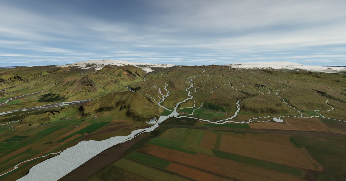
The Reykjanes region in Fly Over Iceland puts a live eruption at the true Sundhnúksgígar and Fagradalsfjall fissures: a glowing lava river, a curtain of fire fountains along the crack, and ash plumes you can see from across the map. Take off, bank toward the smoke, and drop in low over the lava.
It’s the same real terrain the scans are made of — 2-metre elevation data with satellite imagery draped over it — so the fissure is where the fissure actually is. Free, no download, works on your phone.
Reykjanes eruption — questions
Where do the 3D eruption models come from?
Are these the real eruptions?
Can I fly over the eruption myself?
Is Reykjanes safe to visit right now?
Why not put the real scans inside the game?
Cars & campers
 KEF airport pickup 24/74.8
 Transmission
 Fuel
Fuel Seats
Seats Drive
Drive

 Sleeps