


The Golden Circle
Þingvellir, Geysir and Gullfoss — the three stops with coordinates, and today's road verdict for the loop.
The Golden Circle is a 250 km loop east of Reykjavík linking three places: Þingvellir, where the continental plates pull apart; Haukadalur, where Strokkur erupts every 6–10 minutes; and Gullfoss. It is not one named road — it is a route on ordinary paved roads, drivable in a 2WD car year round, and it takes 3–4 hours of driving plus however long you stand at each stop. Coordinates for all three are below.
The three stops, in driving order
Decimal coordinates, straight from our own datasets — paste them into a sat-nav. Anticlockwise (Þingvellir first) is the usual direction out of Reykjavík; the loop works equally well reversed.
- Þingvellir National Park
The rift valley where the North American and Eurasian plates pull apart, and where Iceland’s parliament was founded in 930. Free to enter; parking is charged.64.258056, -21.125 - Geysir & Strokkur, Haukadalur
Strokkur erupts every 6–10 minutes and is the one you will actually see go off. The original Geysir, 150 m away, is mostly dormant — it gave every geyser in the world its name.64.312696, -20.300773 - Gullfoss
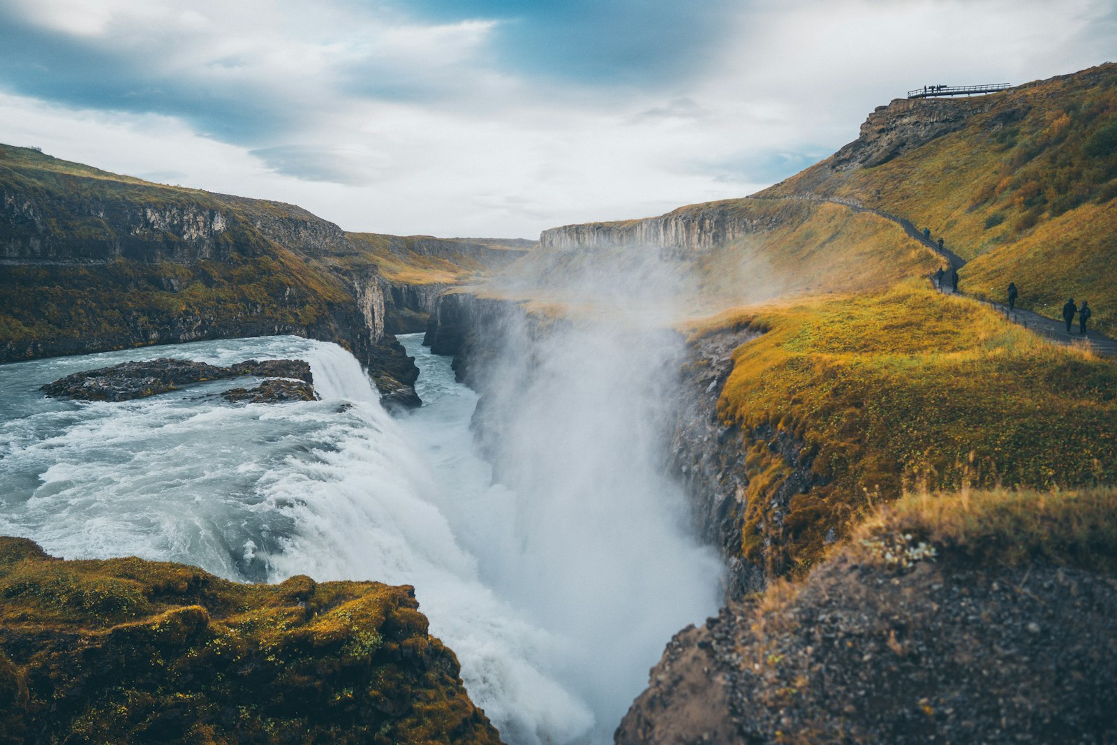
The two-tier fall in the photograph above: the Hvítá turns a right angle and drops into a canyon. Two viewing levels, both free, the lower one wet.64.32661, -20.121682
The loop right now
Live segment status from Vegagerðin, on the actual roads the route uses. The map is drawn from the route’s real segment geometry, not an illustration.
Cars & campers
 KEF airport pickup 24/74.8
 Transmission
 Fuel
Fuel Seats
Seats Drive
Drive

 Sleeps
Golden Circle — questions people actually ask
What is the Golden Circle?
How long does the Golden Circle take?
Do you need a 4x4 for the Golden Circle?
How often does Strokkur erupt?
Can you drive the Golden Circle in winter?
Hero photograph: Gullfoss by Sarah Thorenz on Unsplash. Road status: Vegagerðin. Coordinates and distances: our own datasets.