


Gullfoss


 Road loading…
 Weather loading…



 WaterfallSouth Coast
Gullfoss

About
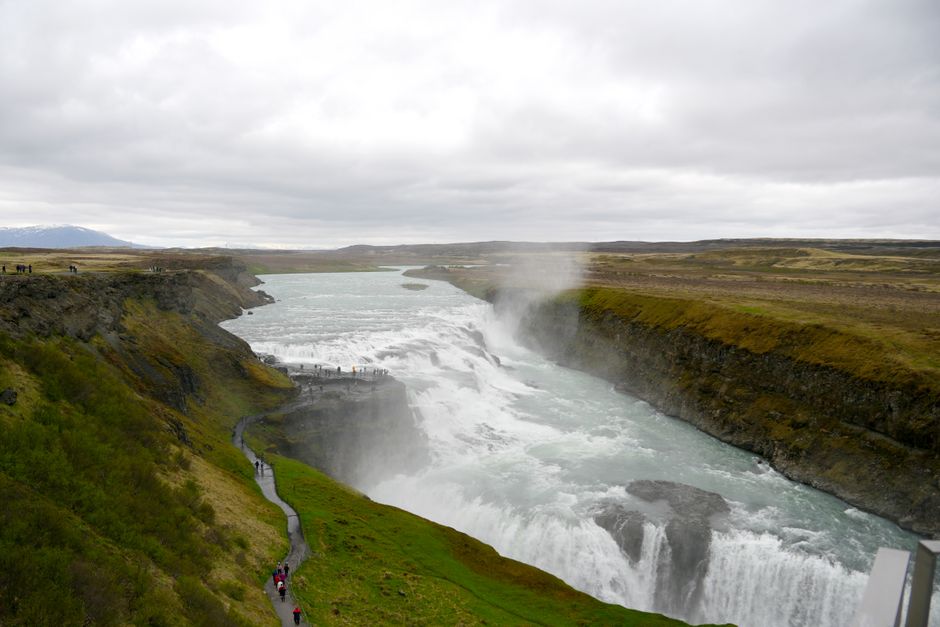
Gullfoss is a 32-meter waterfall on the Hvítá river in Iceland's South Coast.
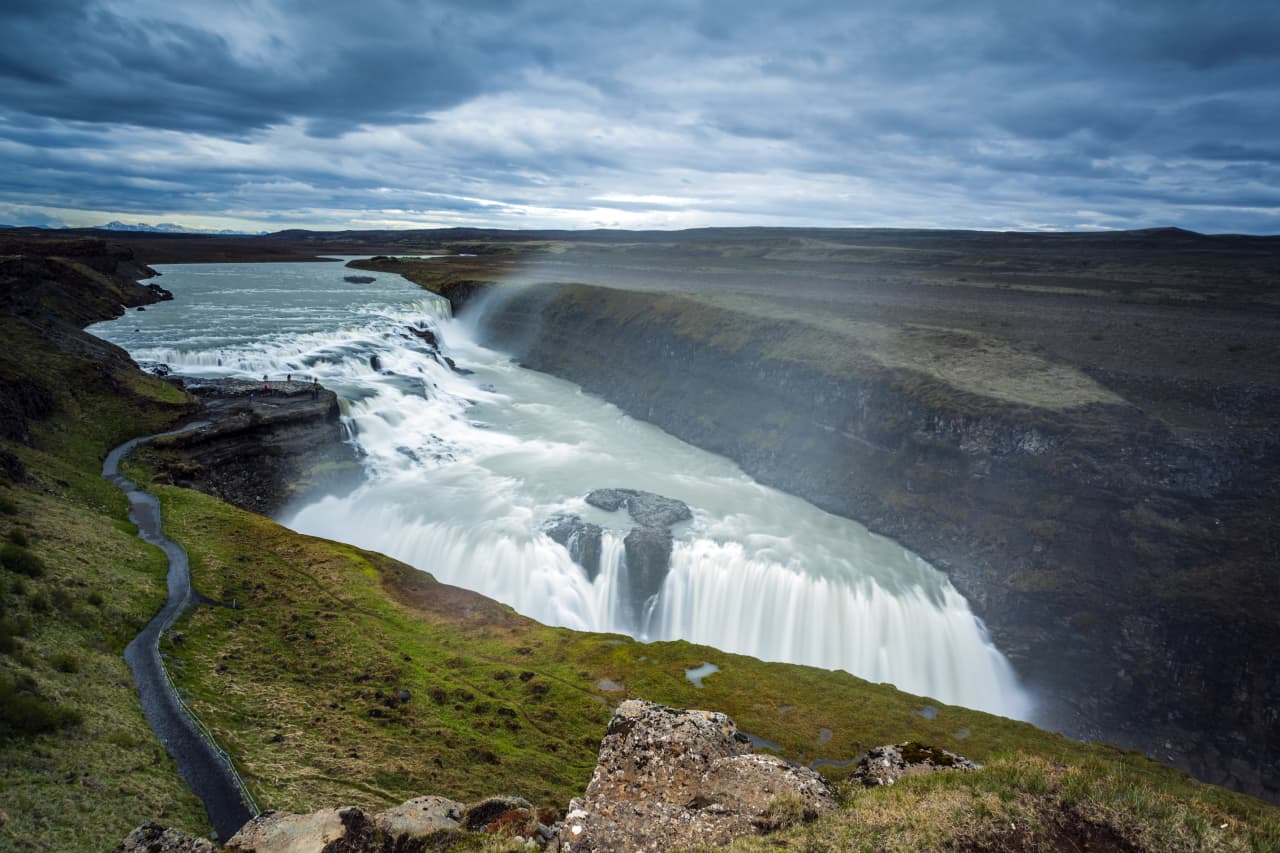
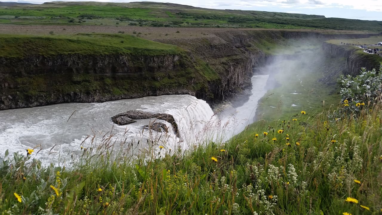
Iceland's most visited waterfall. Two massive drops cascade into a rugged canyon, with the river seeming to disappear into the earth. Part of the Golden Circle, and honestly, deserves its fame.
The ground shakes. The mist soaks you. On sunny days, golden rainbows arc over the falls — that's how it got the name. Stand on the viewing platform and feel humbled by the raw power of glacial water.
Saved from becoming a hydropower dam by Sigríður Tómasdóttir, a farmer's daughter who threatened to throw herself into the falls. She won. Her dedication made her an icon of Iceland's conservation movement. There's a memorial to her at the site.
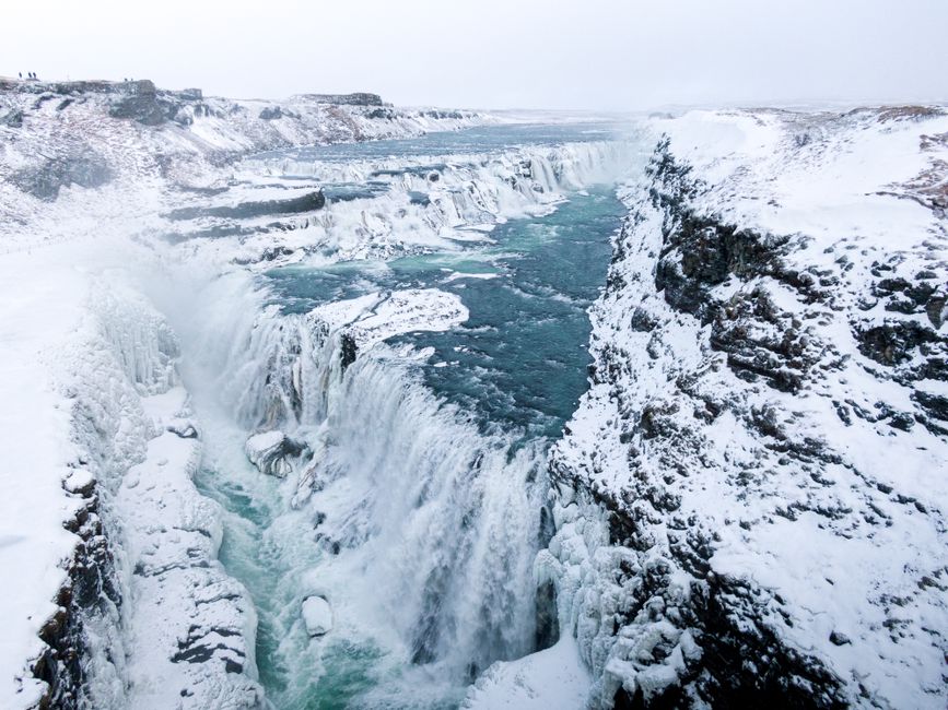
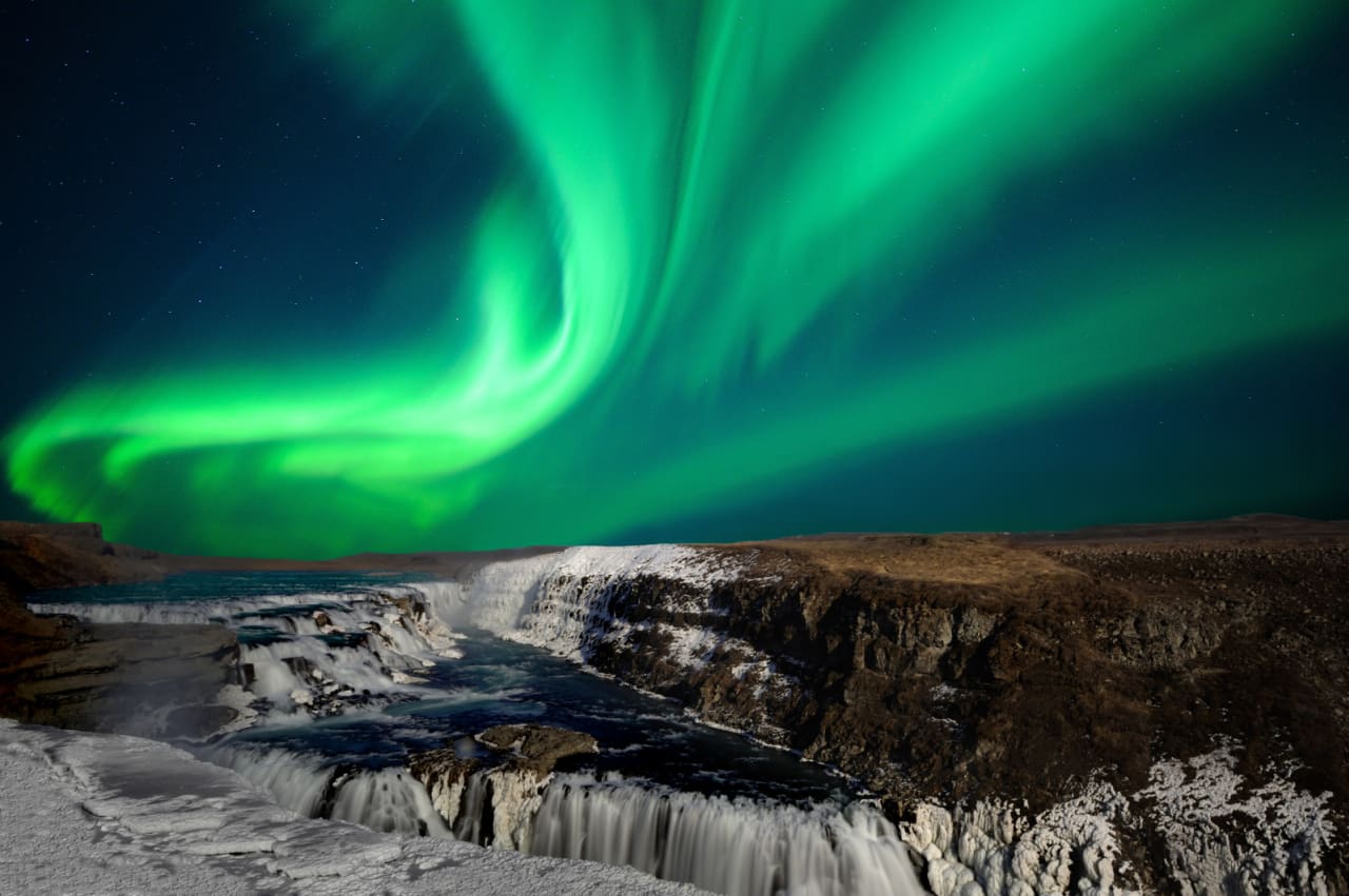
Two viewing platforms — upper and lower. Lower gets you closer but wetter. Come in morning or evening to avoid Golden Circle tour buses. The cafe at the visitor center has good lamb soup. Winter views are spectacular when the falls partially freeze.
Map of Gullfoss
64.3266°N, 20.1217°W · South Coast
Plan your visit
 Getting there
- Route 36
 Heads up
- Trails can close; check Safetravel.is before visiting
 Off the main road
- 0.4 km from Route 35
 Nearest town
- Bláskógabyggð — 14.6 km away
 Distance from Reykjavík
- 90 km in a straight line
 What else is close
- 171 mapped places within 20 km
 Good to know
- Two-tiered waterfall: upper drop 11 m, lower drop 21 m (two separate falls)Average flow ~109 m³/s; ~130 m³/s in summer; recorded flood max ~2000 m³/sRiverbed rock formed during an interglacial periodWas the subject of hydroelectric development proposals
Tours that include Gullfoss
 Golden Circle and Laugarás Lagoon Lerki Admissionfrom 23.039 ISK · 9 h 30 min
 Golden Circle and Secret Lagoon Full Day Tour from Reykjavik by Minibusfrom 18.990 ISK · 9 h
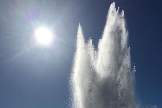 Golden Circle & Kerið from Reykjavík in minibusfrom 16.800 ISK · 7 h 30 min
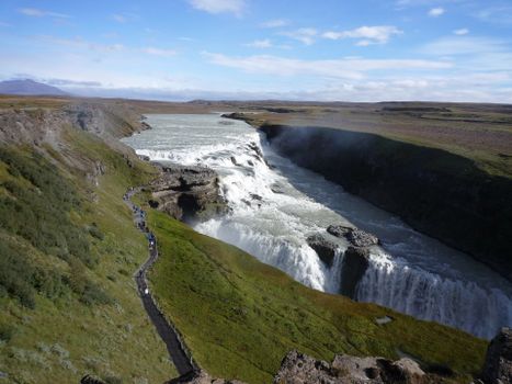 From Reykjavik Port: Small Group Golden Circle Tourfrom 24.900 ISK · 8 h
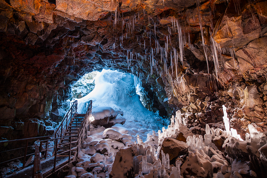 Golden Circle & Cavingfrom 25.990 ISK · 10 h
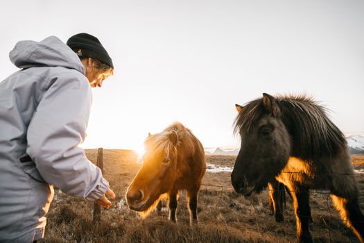 Golden Circle, Fridheimar & Sky Lagoon Small-Group Saman Pass Tourfrom 28.590 ISK · 11 h
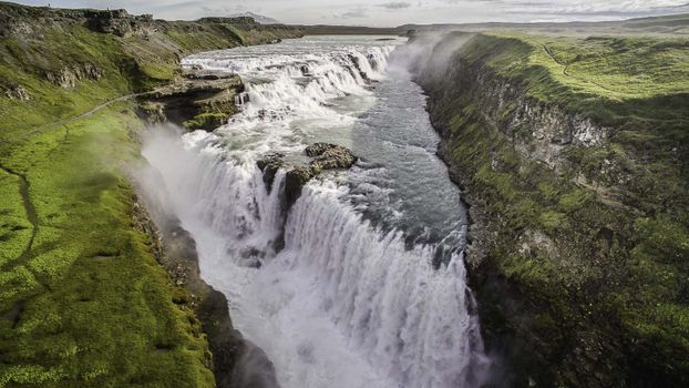 Golden Circle Afternoon Tourfrom 10.990 ISK · 8 h 30 min
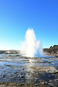 Golden Circle with Kerid Crater Minibus tourfrom 14.890 ISK · 8 h
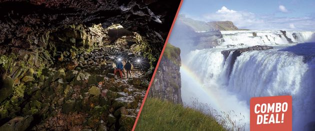 Golden Circle & Lava Tunnel - Combo Dealfrom 25.999 ISK · 9 h 30 min
 Solheimajokull Ice Climbing & Glacier Hikefrom 31.381 ISK · 4 h
 Early Bird Ice Cavefrom 25.000 ISK · 3 h 30 min
 Laugarás Lagoon Birki - Premium Lagoonfrom 9.900 ISK · 2 hAll 1,648 toursBy activity and region
Gullfoss weather and conditions
Last updated

Cars & campers
 KEF airport pickup 24/74.8
 Transmission
 Fuel
Fuel Seats
Seats Drive
Drive

 Sleeps
Photos & videos

Nearby
km column = your drive
- 1
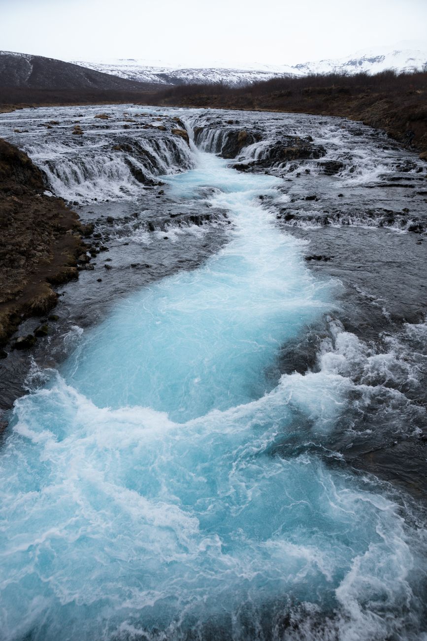 Brúarfoss20 km
 - 2
Hjálparfoss27 km
- 3
 Gjárfoss27 km
 - 4Rauðifoss28 km
- 5
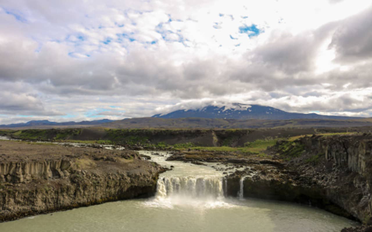 Þjófafoss32 km

 Waterfalls
 Hot springs


 Fuel
Fuel
 Supermarkets
 Tours
Tours
 Adrenaline Combo: Off-Road Buggy & Mega Zipline Experiencefrom 29.300 ISK · 3 hours
  Buggy Adventure in Þórsmörkfrom 89.990 ISK · 5 hours
  Bus transfer from Landmannalaugar to Hella / Reykjavikfrom 12.220 ISK · 4 hours
Frequently
asked
questions
Is Gullfoss free to visit?
How far is Gullfoss from Reykjavík?
Can you swim at Gullfoss?
Why is it called Golden Falls?
Is Gullfoss crowded?
Where is Gullfoss on the map?
Data & sources
Everything on this page comes from the sources below. Live feeds refresh automatically.
 UnsplashHero & gallery photography · Martti Salmi / Unsplash
 Visit South Iceland (south.is)Visitor access & practical facts
 WikipediaEncyclopedic description · CC BY-SA 4.0
 VegagerðinLive road status & cameras · Icelandic Road Administration
 Open-MeteoWeather forecast · CC BY 4.0
 NOAA SWPCAurora (planetary Kp) forecast · public domain
 OpenStreetMapInteractive-map data · ODbL
 Esri, Maxar & Earthstar GeographicsSatellite imagery for the 3D terrain render · GIS User Community
Spotted an error, or have something to add? Help us keep this page accurate.