



 Road
Road  Weather


About
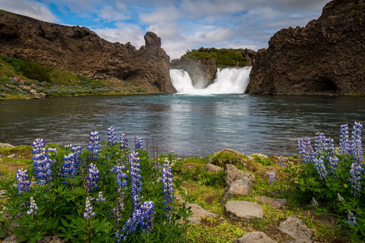
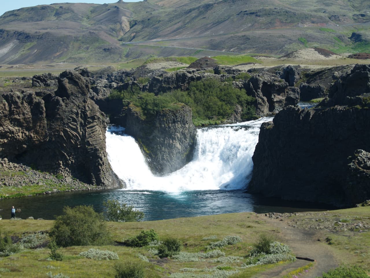
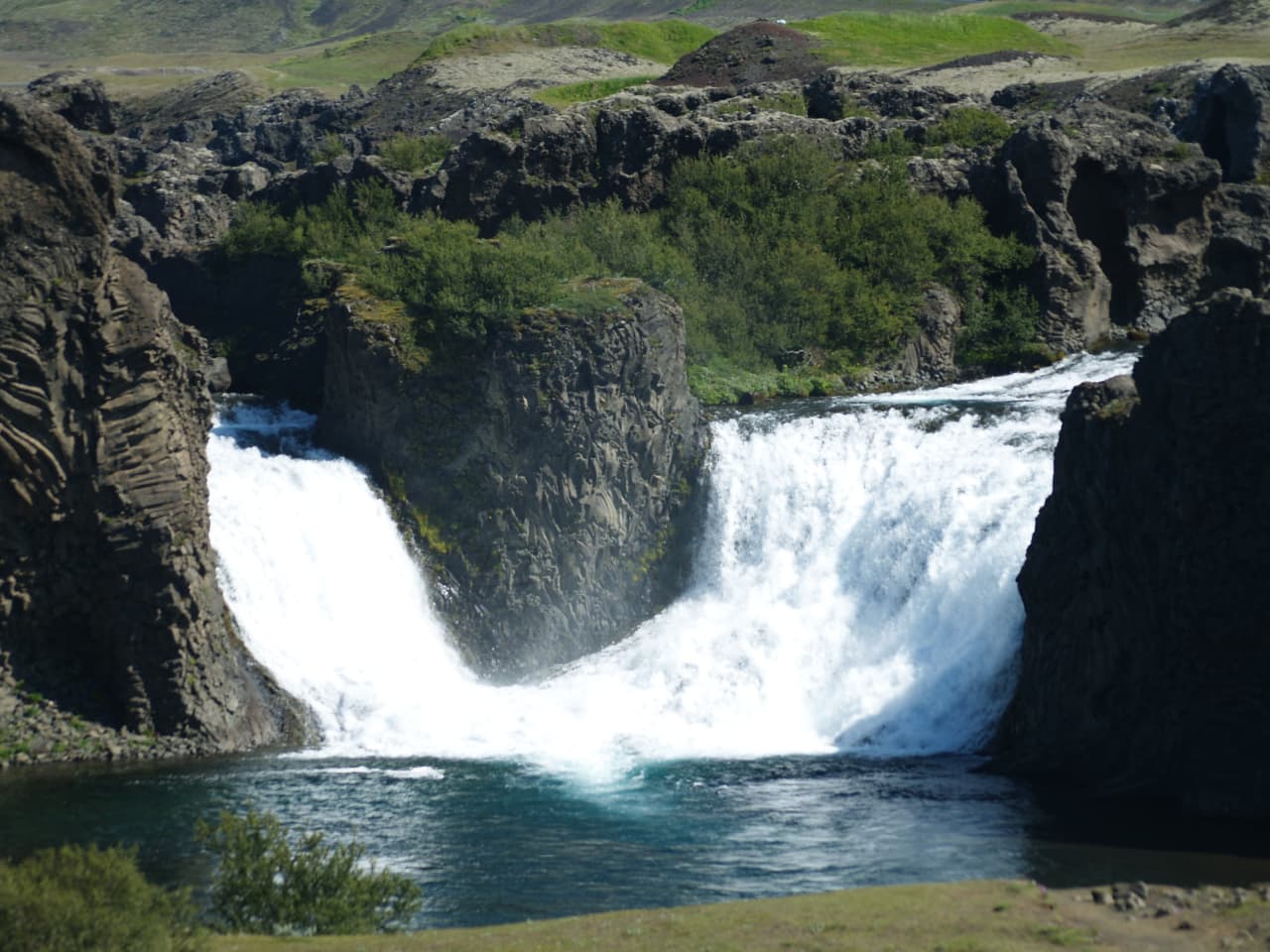
Hjálparfoss is a waterfall on the Fossá river in Iceland's South Coast.
Hjálparfoss is one of several waterfalls in the south of Iceland situated in the lava fields north of the stratovolcano Hekla near the point where the rivers Fossá and Þjórsá join.
Quieter than the famous falls. More intimate. The kind of place where you can actually hear yourself think.
Hjálparfoss is located about 30 kilometres (19 mi) east of the village Flúðir and can be reached by a gravel road off Route 32 that winds through the Vikrar lava fields. About 5 kilometres (3. 1 mi) south of Hjálparfoss lies Þjófafoss; further east are Háifoss on the Fossá and Tangafoss on the Þjórsá.
If there's a path, stick to it. The terrain around waterfalls is slippery and the moss is fragile. Iceland appreciates visitors who respect the land.
Map of Hjálparfoss
64.1159°N, 19.8498°W · South Coast
Plan your visit
 Getting there
- Route 32
 Off the main road
- 0.6 km from Route 32
 Nearest town
- Árnes — 21.2 km away
 Distance from Reykjavík
- 102 km in a straight line
 What else is close
- 92 mapped places within 20 km
 Good to know
- Two-stepped (double) waterfallLocated in the Þjórsá ValleyVolcanic ash from Mt. Hekla eruptions is prominent in the surrounding areaNamed after 'Hjálp' (help) — travelers crossing the Sprengisandur interior route found grazing for their horses in the vegetated area there
Tours near Hjálparfoss
 Landmannalaugarfrom 43.900 ISK · 14 h
 Secret Lagoon Admissionfrom 4.500 ISK · 1 h 30 min
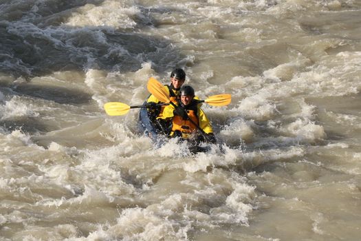 Kayak River Ridefrom 30.990 ISK · 3 h
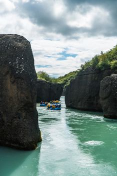 River Fun Raftingfrom 22.990 ISK · 3 h
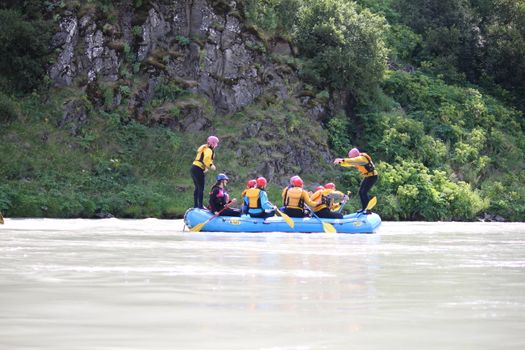 Family Fun Raftingfrom 19.990 ISK · 3 h
 Family Raftingfrom 34.900 ISK · 4 h
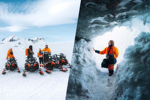 Glacier Snowmobiling & Ice Cave from Geysir Areafrom 38.990 ISK · 5 h
 Laugarás Lagoon Birki - Premium Lagoonfrom 9.900 ISK · 2 h
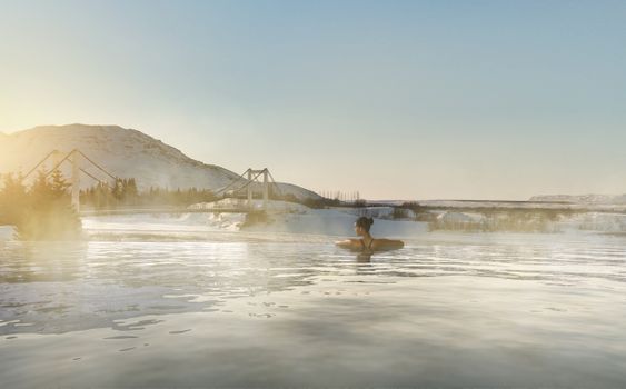 Laugarás Lagoon Lerki - Premium Lagoon with a towel and a drinkfrom 12.400 ISK · 2 h
 Solheimajokull Ice Climbing & Glacier Hikefrom 31.381 ISK · 4 h
 Early Bird Ice Cavefrom 25.000 ISK · 3 h 30 minLaugarás Lagoon Birki - Premium Lagoonfrom 9.900 ISK · 2 hAll 1,648 toursBy activity and region
Hjálparfoss weather and conditions
Last updated

Cars & campers
 KEF airport pickup 24/74.8
 Transmission
 Fuel
Fuel Seats
Seats Drive
Drive

 Sleeps
Photos & videos

Nearby
km column = your drive
- 1
 Tröllkonuhlaup6 km
 - 2
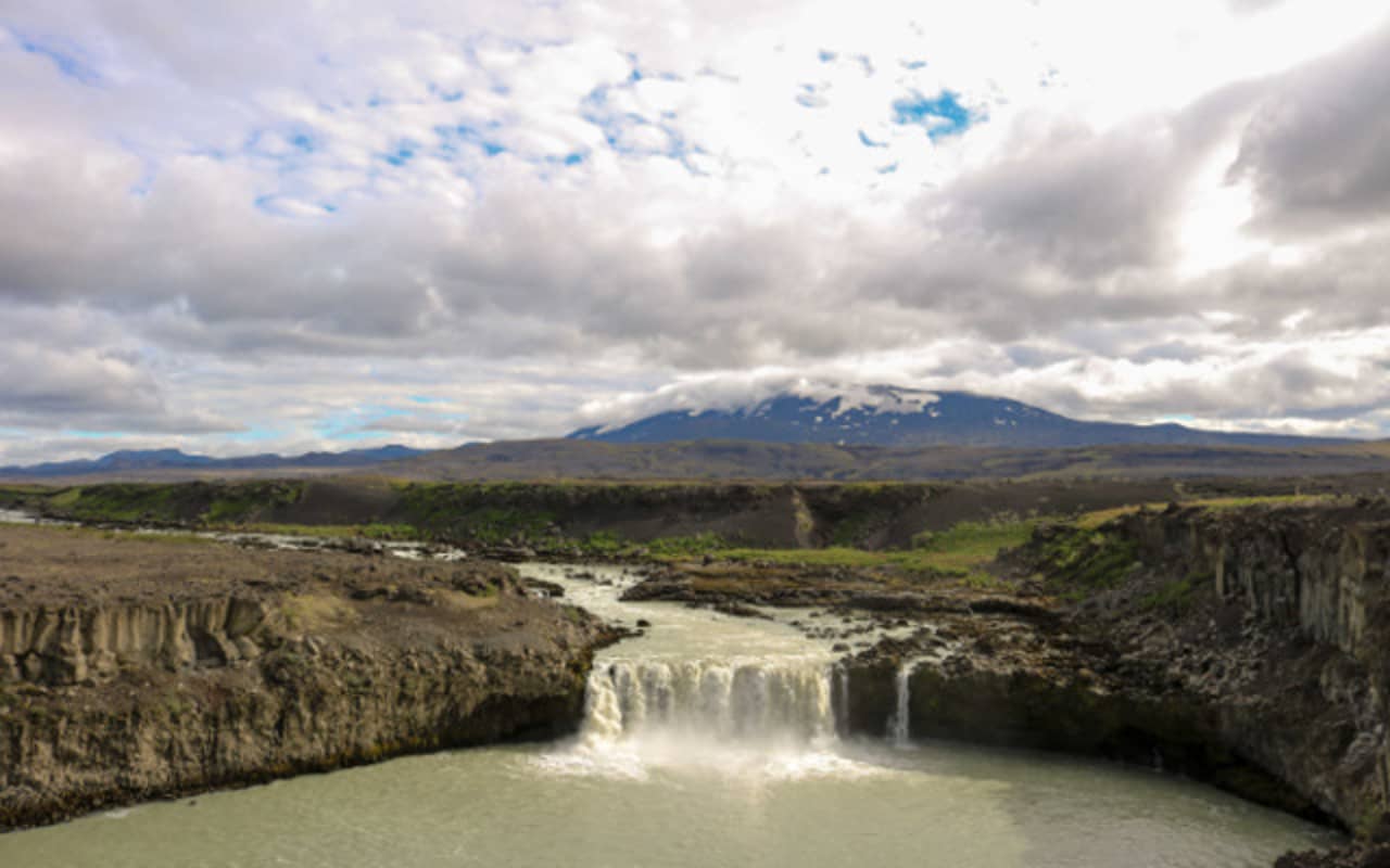 Þjófafoss7 km
 - 3
 Gjárfoss7 km
 - 4Rangárbotnar7 km
- 5Rauðifoss14 km

 Hot springs
- 1Natural hot pot near Skeiða- og Gnúpverjahreppur5 km
- 2Hrunalaug20 km
- 3Geothermal hot spring near Skeiða- og Gnúpverjahreppur21 km

 Fuel
Fuel

 Supermarkets
 Tours
Tours
 Adrenaline Combo: Off-Road Buggy & Mega Zipline Experiencefrom 29.300 ISK · 3 hours
  Buggy Adventure in Þórsmörkfrom 89.990 ISK · 5 hours
  Bus transfer from Landmannalaugar to Hella / Reykjavikfrom 12.220 ISK · 4 hours
Frequently
asked
questions
How do I get to Hjálparfoss?
Is Hjálparfoss free to visit?
What is the best time to visit Hjálparfoss?
Data & sources
Everything on this page comes from the sources below. Live feeds refresh automatically.
 UnsplashHero & gallery photography · Job Savelsberg / Unsplash
 Visit South Iceland (south.is)Visitor access & practical facts
 WikipediaEncyclopedic description · CC BY-SA 4.0
 VegagerðinLive road status & cameras · Icelandic Road Administration
 Open-MeteoWeather forecast · CC BY 4.0
 NOAA SWPCAurora (planetary Kp) forecast · public domain
 OpenStreetMapInteractive-map data · ODbL
 Esri, Maxar & Earthstar GeographicsSatellite imagery for the 3D terrain render · GIS User Community
Spotted an error, or have something to add? Help us keep this page accurate.