Discover Iceland's
waterfalls
Aurora forecasts, road conditions, fuel prices, and 13,800+ mapped locations — all live, all free, all in one place.
All of Iceland, one app
13,800+ places with photos, ratings, and directions — plus live aurora, road, and fuel data from official Icelandic sources, refreshed every 15 minutes.
Open the map“Do I need a 4x4 for Landmannalaugar in June?” — answered using real-time road status, not outdated blog posts. Build complete day-by-day itineraries in seconds.
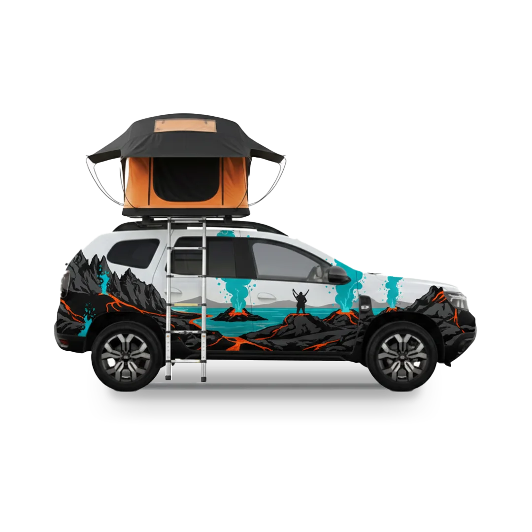
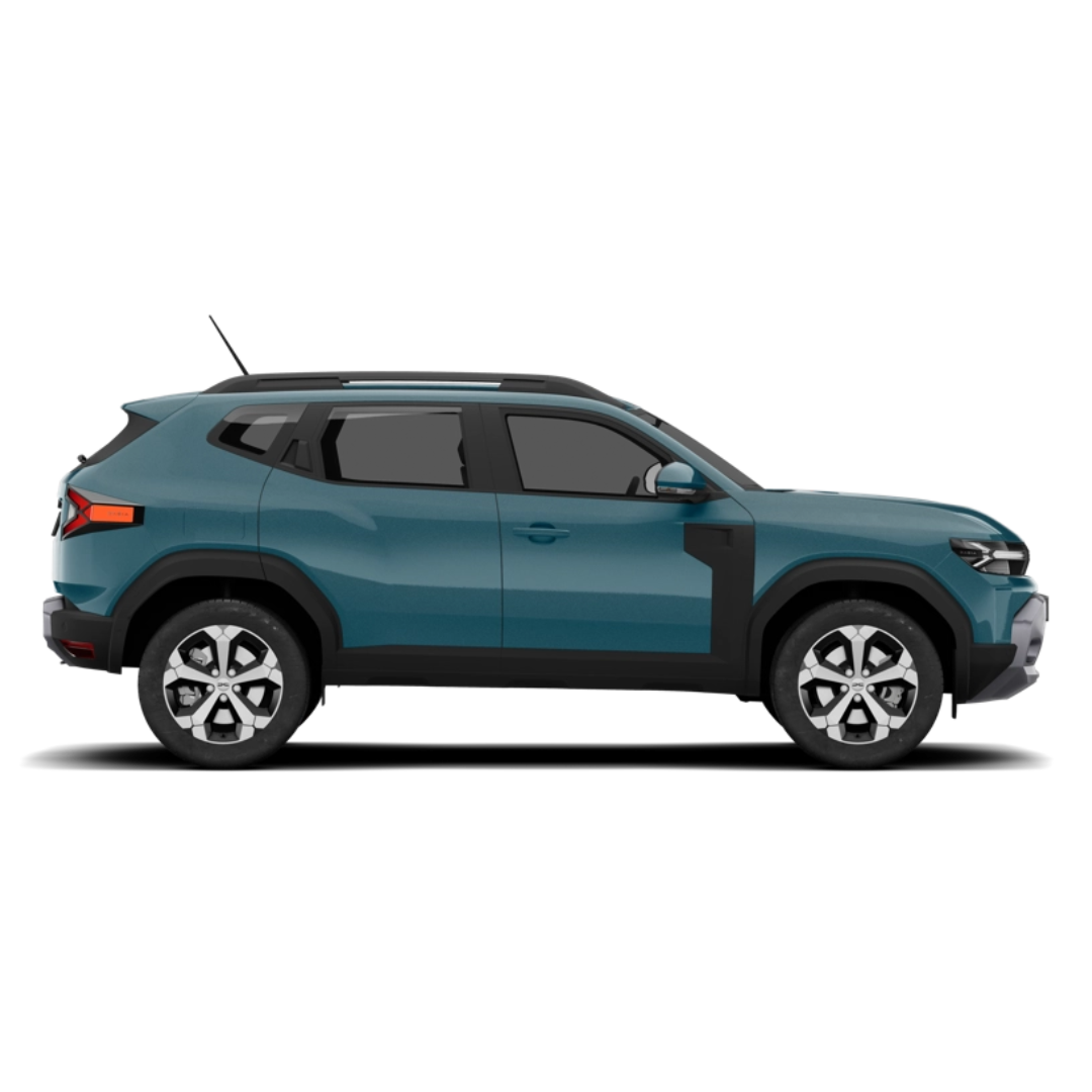
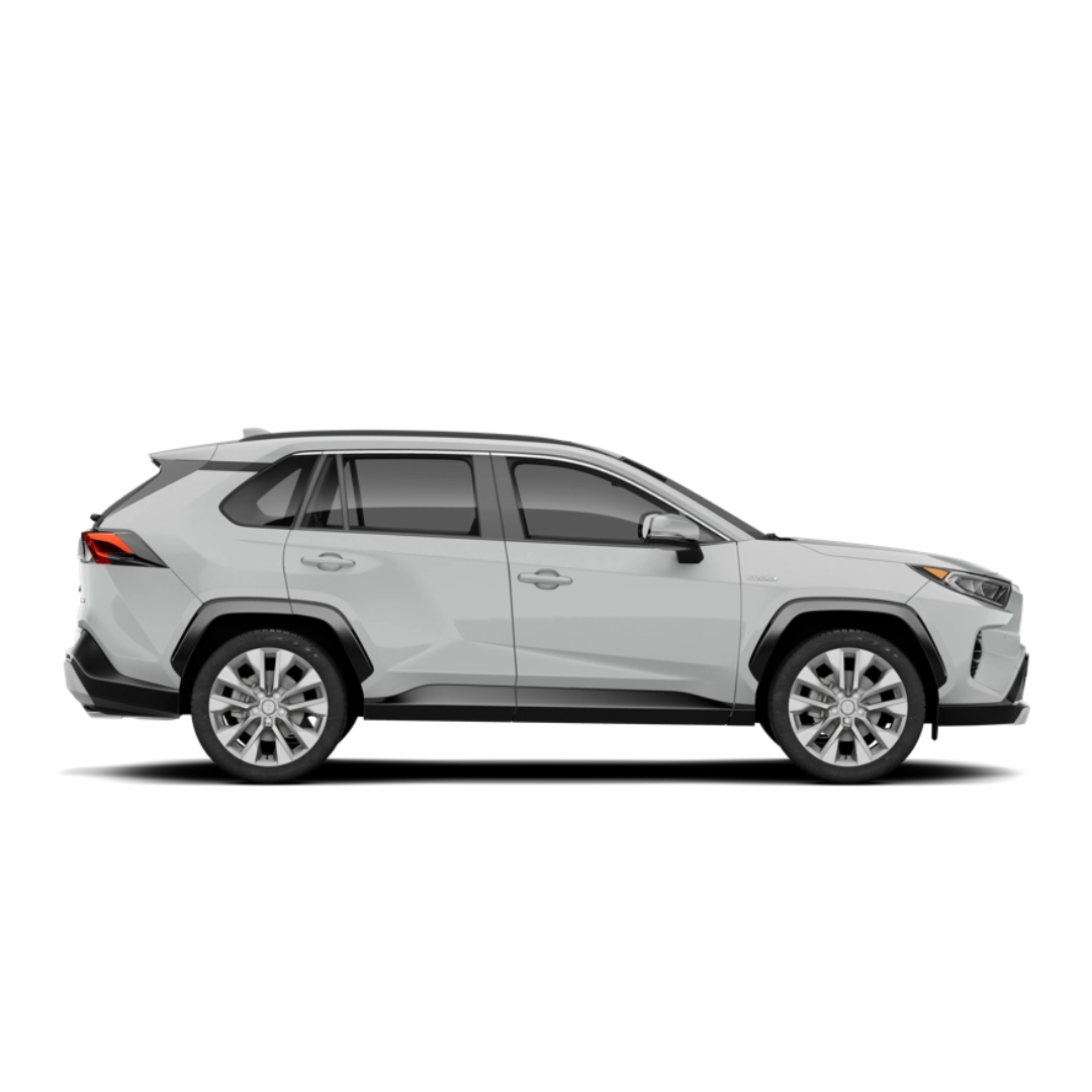
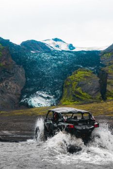
Ask the AIKeyCar partnership: compacts for Reykjavik, 4x4s for highland F-roads, campers for the full Ring Road. Use code mapoficeland at checkout.
Browse the fleetEvery tool on the site, one grid
All free, no account needed. The live ones refresh themselves — you just check them.
Interactive Map
Explore 13,800+ places with filters, photos, and directions.
Live AlertsLIVE
Volcano activity, road closures, weather warnings — one dashboard.
Iceland Pulse
The day’s weather, roads, aurora and fuel — briefed every morning.
Northern LightsLIVE
Tonight’s KP index and cloud cover for every region.
WebcamsLIVE
36 live cameras across the island. Check the actual weather, not the forecast.
Fuel PricesLIVE
Find the cheapest station on your route today.
Fly Over Iceland
Cruise the coastline in 3D before you drive it.
AI Travel Assistant
Ask anything — get answers grounded in real data.
Car Rental— 15% off
Book through us and keep this platform free.
Every kind of place, mapped
10,780 places across 33 categories — from walk-behind waterfalls to lighthouses at the end of gravel roads. Each category has its own live hub.


Category photos via Wikimedia Commons (CC) — full photographer credits on each place page.
Guides for the expensive questions
The decisions that actually change your budget — answered with numbers, not vibes.
Do I need 4WD in Iceland?
Depends on the month and the roads you’ll drive. We break it down route by route — with what rental insurance actually covers.
Read the guideThe kilometre fee, explained
Iceland’s 2026 per-km car tax — what renters actually pay, worked through with real numbers.
Read the guideDriving, costs, planning
Everything we’ve written so far, in one place. More on the way.
Read the guideSave 15%
on cars
& campers
Book through us with KeyCar, Iceland's local rental company. Every rental keeps this platform free.
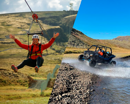
Tours near your trip
Frequently
asked questions
What is Map of Iceland?
Do I need to create an account?
How is this free?
How current is the live data?
Can I use it offline?
Your Iceland trip
starts here
Join thousands of travelers who plan, navigate, and save with Map of Iceland.