




 Road
Road  Weather


About
A sandy highland road leading to the Veiðivötn crater-lake area, used mainly by anglers and highland travelers.
Remote and quiet — mainly used by people heading to fish the lakes rather than passing through.
The road exists to serve the Veiðivötn lakes, a cluster of crater lakes used mostly by anglers rather than sightseers.
Two clear-water river crossings are noted on this road. Sandy sections reduce traction and can slow you down more than the rivers do — deflate tires appropriately for sand if your vehicle allows it, and keep momentum without excessive speed.
Map of Veiðivatnaleið
64.0333°N, 18.8500°W · South Coast
Plan your visit
 Off the main road
- 20.4 km from Route 26
 Nearest town
- Kirkjubæjarklaustur — 48.4 km away
 Distance from Reykjavík
- 151 km in a straight line
 What else is close
- 333 mapped places within 20 km
Tours near Veiðivatnaleið
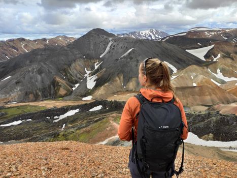 Highlands Hiking: Small Group Landmannalaugar Hike & Hot Springs - Without transferfrom 16.500 ISK · 5 h
 Bus transfer from Landmannalaugar to Hella / Reykjavikfrom 12.220 ISK · 4 h
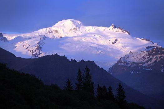 Hvannadalshnúkur - Iceland's highest summitfrom 57.999 ISK · 15 h
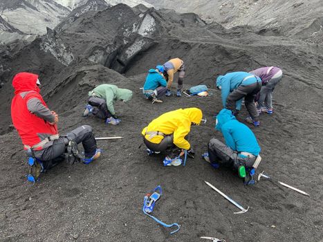 Solheimajokull Glacier Guided Hiking Small Group Tourfrom 12.299 ISK · 3 h
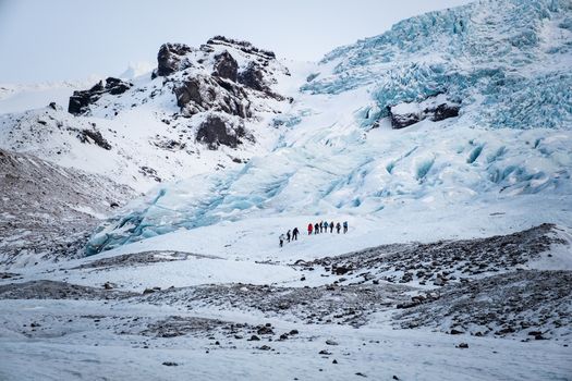 Glacier Hiking Tour - Icelandic Local Guidefrom 38.900 ISK · 10 h
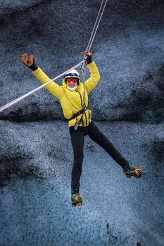 The Zip Line + Glacier Hike Adventurefrom 45.000 ISK · 4 h
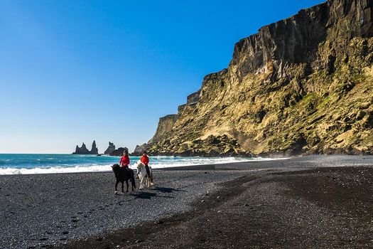 Glacier Hike & Horse Riding in South Icelandfrom 25.990 ISK · 6 h
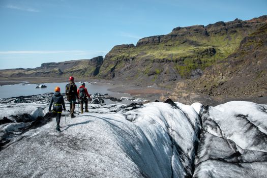 Glacier Hike | Micro group (6 max) | Sólheimajökull | Víkfrom 30.000 ISK · 4 h
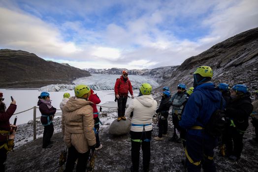 Glacier Hike Experience on Sólheimajökull. Meet on locationfrom 16.990 ISK · 3 h 30 min
 Solheimajokull Ice Climbing & Glacier Hikefrom 31.381 ISK · 4 h
 Early Bird Ice Cavefrom 25.000 ISK · 3 h 30 min
 Laugarás Lagoon Birki - Premium Lagoonfrom 9.900 ISK · 2 hAll 1,648 toursBy activity and region
Is F228 open right now?
Live from Vegagerðin, the authority that opens and closes this road. Every other highland road is on the live F-road map.
1 highland road reported · 1 not reported · Vegagerðin, updated 9 min ago
| F-road | Status now | Vegagerðin's wording |
|---|---|---|
| F228 Veiðivatnaleið | Not reported | Óþekkt |
F228 typically opens late June–early July and closes by September–October — always confirm on road.is before you drive.
Veiðivatnaleið weather and conditions
Last updated

Cars & campers
 KEF airport pickup 24/74.8
 Transmission
 Fuel
Fuel Seats
Seats Drive
Drive

 Sleeps
Photos & videos
Nearby
km column = your drive
- 1Jökulheimaleið8 km
- 2
 Fjallabaksleið nyrðri12 km
 - 3
 Langisjór14 km
 - 4
 Landmannalaugavegur25 km
 - 5Eldgjárvegur31 km

 Waterfalls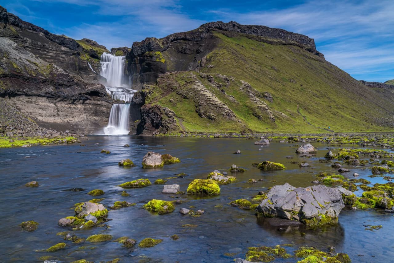

 Hot springs
- 1Geothermal hot spring near Rangárþing ytra11 km
- 2
 Brennisteinsalda11 km
 - 3
 Landmannalaugar Hot River11 km

 Fuel
Fuel
- 1
 Hrauneyjar28 km · 315.8 kr/L
 - 2
 Kirkjubæjarklaustur48 km · 310.9 kr/L
 - 3Árnes68 km · 310.9 kr/L
 Supermarkets

 Tours
Tours
 Adrenaline Combo: Off-Road Buggy & Mega Zipline Experiencefrom 29.300 ISK · 3 hours
  Buggy Adventure in Þórsmörkfrom 89.990 ISK · 5 hours
 - Bus transfer from Landmannalaugar to Hella / Reykjavikfrom 12.220 ISK · 4 hours
Frequently
asked
questions
What car do I need for F228?
Are there river crossings on F228?
Why is F228 sandy?
Is F228 popular with anglers?
Can I take a 2WD car on F228?
Data & sources
Everything on this page comes from the sources below. Live feeds refresh automatically.
 Wikimedia CommonsHero & gallery photography · Arnas Goldberg · Wikimedia Commons · CC BY 3.0
 VegagerðinVisitor access & practical facts
 VegagerðinLive road status & cameras · Icelandic Road Administration
 Open-MeteoWeather forecast · CC BY 4.0
 NOAA SWPCAurora (planetary Kp) forecast · public domain
 OpenStreetMapInteractive-map data · ODbL
 Esri, Maxar & Earthstar GeographicsSatellite imagery for the 3D terrain render · GIS User Community
Spotted an error, or have something to add? Help us keep this page accurate.