



 Road
Road  Weather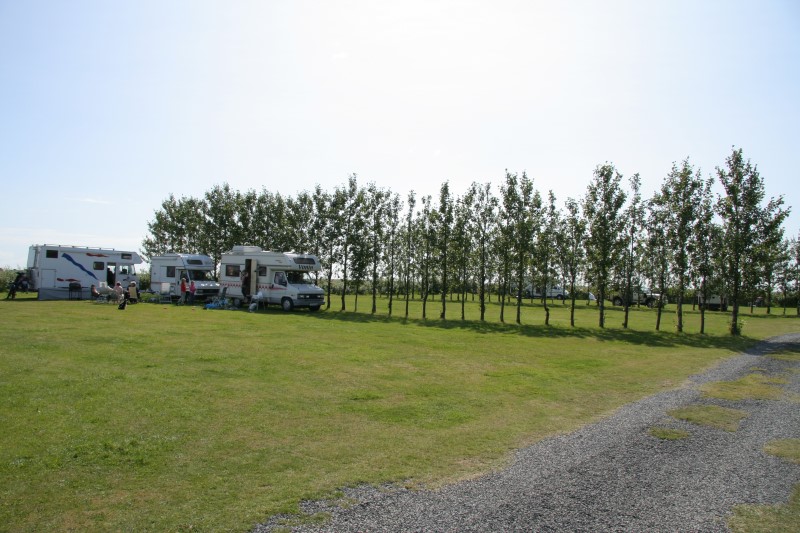


About
Hvolsvöllur Campsite sits at the entrance to the town on the Ring Road in south Iceland. Established in 1980, it's sheltered by tall aspens that split the ground into private sections. The town centre is 150 metres away, and buses run to Reykjavík, Þórsmörk, and Landmannalaugar. Open May to November.
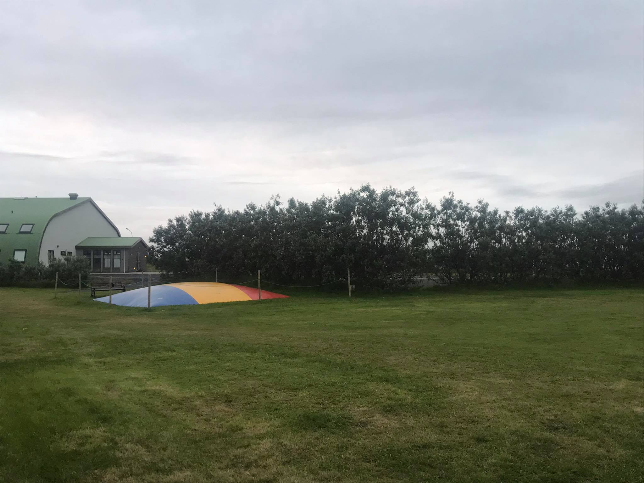
Dating from 1980, Hvolsvöllur is one of the older and more sheltered campsites in the south. Tall aspens ring the site and divide it into snug sections, giving both privacy and a break from the wind. Despite that tucked-away feel, the town centre is only 150 metres off, with a grocery, pharmacy, bank, swimming pool, and restaurants all to hand. Two service buildings cover the practical side. One has toilets, dishwashing, and a simple cooking area; the newer one adds modern showers, wheelchair-accessible facilities, and baby-changing. There's a playground and a 3 km fitness trail nearby. The town is a transport hub, with buses to Reykjavík, Þórsmörk, Landmannalaugar, and the Westman Islands, and it's a strong base for Seljalandsfoss, Skógafoss, and Þórsmörk. The season runs May to the start of November.
Wild camping rules have tightened. Use designated campsites to stay on the right side of the law.
Map of Hvolsvöllur
63.7500°N, 20.2385°W · South Coast
Plan your visit
 Season
- 1st of May - 1st of November
 Walk-ins
- Accepted — first-come, first-served
 Advance booking
- Not offered
 Getting there
- Road 1 (Hvolsv-Markarflj.)
 Off the main road
- 0.3 km from Route 1
 Nearest town
- Hvolsvöllur — 0.2 km away
 Distance from Reykjavík
- 94 km in a straight line
 What else is close
- 102 mapped places within 20 km
Tours near Hvolsvöllur
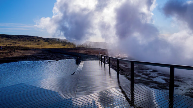 Embark on an exhilarating journey through the Reykjanes Peninsula,from 42.990 ISK · 8 h
 LAVA Centre interactive volcano exhibiton and cinema - Full Experiencefrom 5.200 ISK · 1 h
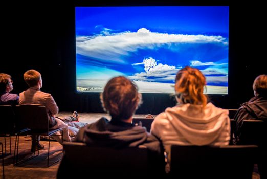 Volcano Movie - All the latest eruptions in Iceland in 4K at the LAVA Centre Volcano Cinemafrom 2.000 ISK · 15 min
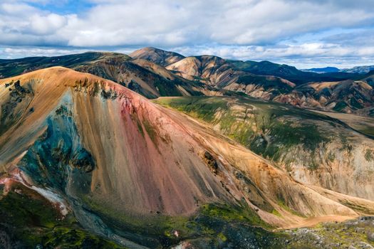 Landmannalaugar Highlands | Day Tour | Midgardfrom 45.000 ISK · 8 h 30 min
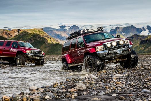 Þórsmörk Super Jeep | Day Tour | Midgard | FROM REYKJAVÍKfrom 47.900 ISK · 11 h
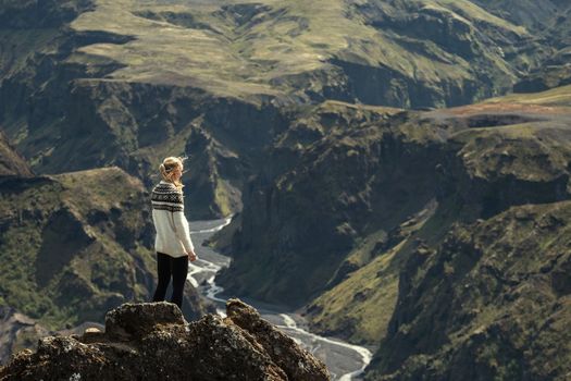 Þórsmörk Hike | Day Tour | Midgardfrom 42.000 ISK · 8 h
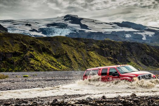 Midgard Surprise | Day Tour | Midgardfrom 39.000 ISK · 7 h
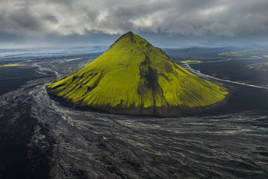 Fjallabak Super Jeep | Day Tour | Midgardfrom 45.000 ISK · 9 h
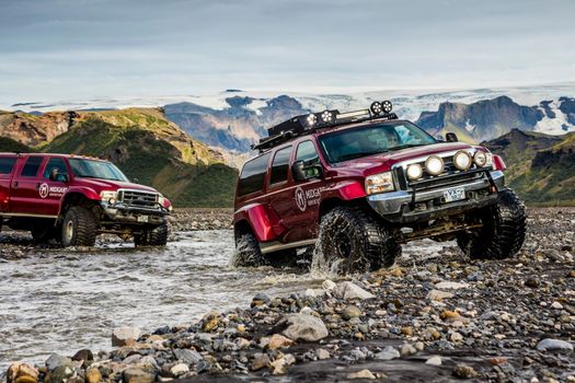 Þórsmörk Super Jeep | Day Tour | Midgardfrom 39.000 ISK · 7 h
 Solheimajokull Ice Climbing & Glacier Hikefrom 31.381 ISK · 4 h
 Early Bird Ice Cavefrom 25.000 ISK · 3 h 30 min
 Laugarás Lagoon Birki - Premium Lagoonfrom 9.900 ISK · 2 hAll 1,648 toursBy activity and region
Amenities
 Electricity
 Pets allowed on a leash
 Wheelchair accessible
 Wi-Fi
Wi-Fi
 Waste disposal for mobile homes
 Shower
 Toilets
 Walking paths
 Playground
 Open all year
 Swimming pool
Facilities listed by tjalda.is
Hvolsvöllur weather and conditions
Last updated
- Children 15 years and younger (≤15 years)
- Free
- Caravans and motorhomes
- 45,000 ISK
- Electricity
- 1,900 ISK per night
- Shower
- 400 ISK per use
- Washing machine and tumble dryer
- Free
- Adults
- 2,900 ISK per person / night
- Senior citizens and people with disabilities
- 2,000 ISK per person / night
- Monthly Rental
Rates via tjalda.is · retrieved 2026-07-17

Cars & campers
 KEF airport pickup 24/74.8
 Transmission
 Fuel
Fuel Seats
Seats Drive
Drive

 Sleeps
Photos & videos
Nearby
km column = your drive
- 1
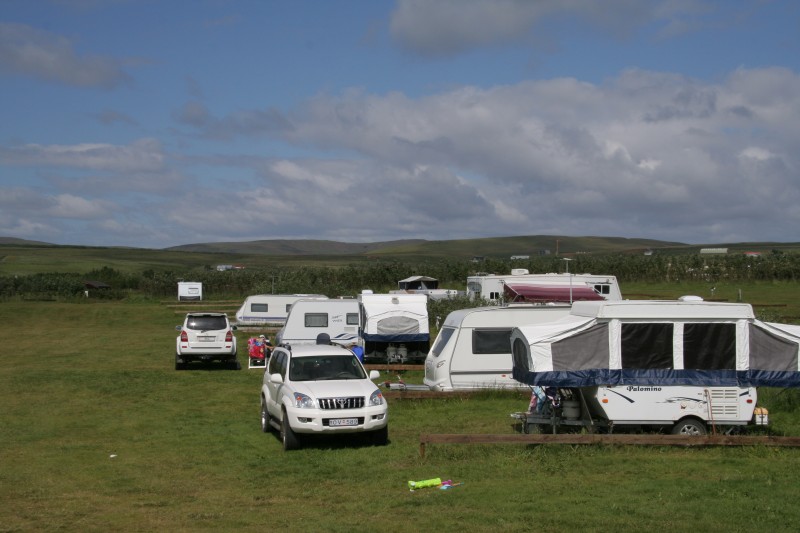 Hellishólar, Fljótshlíð10 km
 - 2
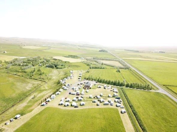 Langbrók10 km
 - 3
 Fljótshlíð11 km
 - 4
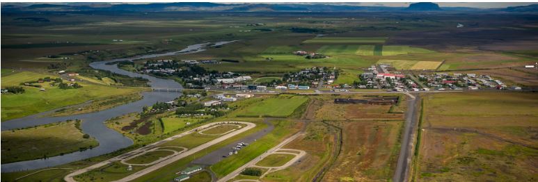 Hella – Gaddstaðaflatir12 km
 - 5
 Þykkvibær18 km
 Waterfalls


 Hot springs
- 1Geothermal hot spring near Hvolsvöllur< 1 km
- 2Geothermal hot spring near Hella12 km
- 3Geothermal hot spring near Rangárþing ytra20 km

 Fuel
Fuel

 Supermarkets


 Tours
Tours
 Adrenaline Combo: Off-Road Buggy & Mega Zipline Experiencefrom 29.300 ISK · 3 hours
  Buggy Adventure in Þórsmörkfrom 89.990 ISK · 5 hours
  Bus transfer from Landmannalaugar to Hella / Reykjavikfrom 12.220 ISK · 4 hours
Frequently
asked
questions
Can I wild camp near Hvolsvöllur instead?
Do I need to book Hvolsvöllur in advance?
When is Hvolsvöllur open?
What facilities does Hvolsvöllur have?
Data & sources
Everything on this page comes from the sources below. Live feeds refresh automatically.
 PhotographyHero & gallery photography · Photo: tjalda.is
 tjalda.isCampsite facts · About text by Map of Iceland (claude-opus-4-8, 2026-07)
 VegagerðinLive road status & cameras · Icelandic Road Administration
 Open-MeteoWeather forecast · CC BY 4.0
 NOAA SWPCAurora (planetary Kp) forecast · public domain
 OpenStreetMapInteractive-map data · ODbL
 Esri, Maxar & Earthstar GeographicsSatellite imagery for the 3D terrain render · GIS User Community
Spotted an error, or have something to add? Help us keep this page accurate.