




 Road
Road  Weather


About
Árbæjarfoss is a 10-meter waterfall on the Ytri-Rangá river in Iceland's South Coast.
At a group of rocks the river drops roughly 10 metres across a span some 50 metres wide before flowing on into the Hólsá. The falls take their name from the neighbouring farm Árbær and are reached by the Árbæjarvegur, which branches north off the Ring Road.
Quieter than the famous falls. More intimate. The kind of place where you can actually hear yourself think.
If there's a path, stick to it. The terrain around waterfalls is slippery and the moss is fragile. Iceland appreciates visitors who respect the land.
Map of Árbæjarfoss
63.8628°N, 20.3413°W · South Coast
Tours near Árbæjarfoss
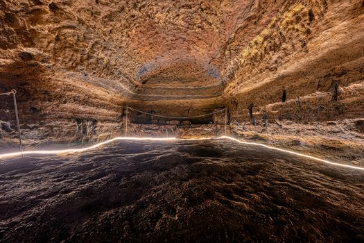 Caves of Hella - The Underworld of the Southfrom 6.950 ISK · 1 h 10 min
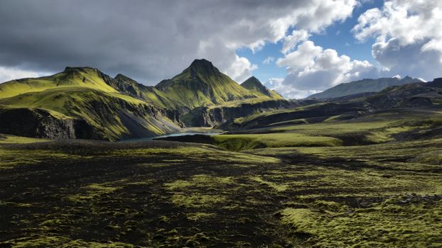 Laugavegur - Fjallabak Super Jeep Tourfrom 69.990 ISK · 11 h
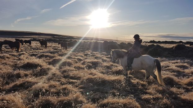 Country Ridefrom 19.500 ISK · 2 h
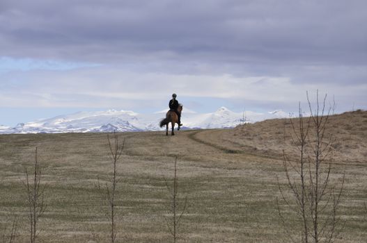 On the Beaten Trackfrom 21.000 ISK · 2 h
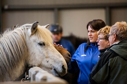 Stable Visitfrom 5.600 ISK · 40 min
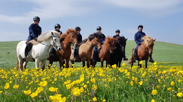 Mountains & Meadowsfrom 13.900 ISK · 1 h
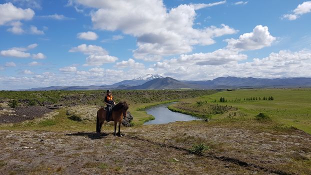 Under The Volcanofrom 36.500 ISK · 4 h 30 min
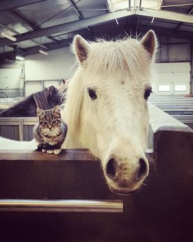 Stable Combofrom 12.300 ISK · 1 h 30 min
 LAVA Centre interactive volcano exhibiton and cinema - Full Experiencefrom 5.200 ISK · 1 h
 Solheimajokull Ice Climbing & Glacier Hikefrom 31.381 ISK · 4 h
 Early Bird Ice Cavefrom 25.000 ISK · 3 h 30 min
 Laugarás Lagoon Birki - Premium Lagoonfrom 9.900 ISK · 2 hAll 1,648 toursBy activity and region
Árbæjarfoss weather and conditions
Last updated

Cars & campers
 KEF airport pickup 24/74.8
 Transmission
 Fuel
Fuel Seats
Seats Drive
Drive

 Sleeps
Photos & videos
No verified videos yet — we only show footage confirmed to be Árbæjarfoss, no lookalikes. Search YouTube
Nearby
km column = your drive
- 1
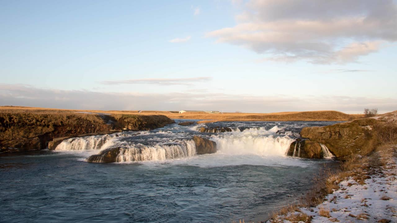 Ægissíðufoss6 km
 - 2Hestafoss16 km
- 3Búðafoss17 km
- 4
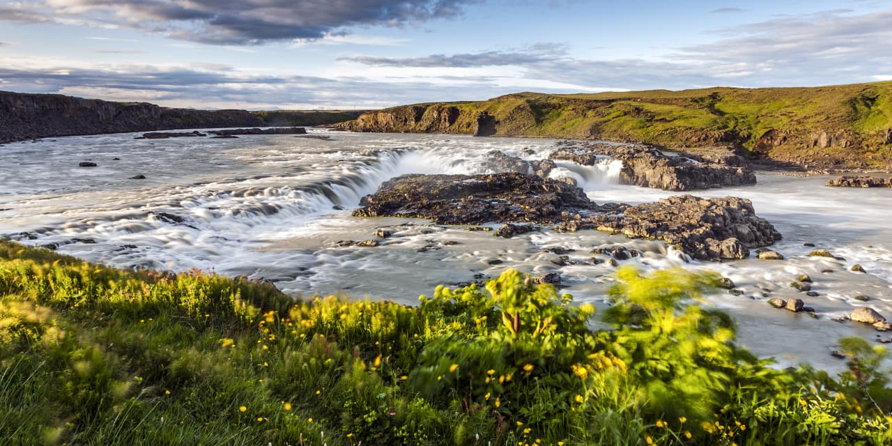 Urriðafoss18 km
 - 5Árnesflúðir18 km

 Hot springs
- 1Geothermal hot spring near Hella4 km
- 2Geothermal hot spring near Rangárþing ytra7 km
- 3Geothermal hot spring near Hvolsvöllur13 km

 Fuel
Fuel

 Supermarkets

 Tours
Tours
 Adrenaline Combo: Off-Road Buggy & Mega Zipline Experiencefrom 29.300 ISK · 3 hours
  Buggy Adventure in Þórsmörkfrom 89.990 ISK · 5 hours
  Bus transfer from Landmannalaugar to Hella / Reykjavikfrom 12.220 ISK · 4 hours
Frequently
asked
questions
How do I get to Árbæjarfoss?
Is Árbæjarfoss free to visit?
What is the best time to visit Árbæjarfoss?
Data & sources
Everything on this page comes from the sources below. Live feeds refresh automatically.
 PhotographyHero & gallery photography · Bromr · CC BY-SA 3.0
 Icelandic WikipediaEncyclopedic description · CC BY-SA 4.0
 VegagerðinLive road status & cameras · Icelandic Road Administration
 Open-MeteoWeather forecast · CC BY 4.0
 NOAA SWPCAurora (planetary Kp) forecast · public domain
 OpenStreetMapInteractive-map data · ODbL
 Esri, Maxar & Earthstar GeographicsSatellite imagery for the 3D terrain render · GIS User Community
Spotted an error, or have something to add? Help us keep this page accurate.