



 Road
Road  Weather


About
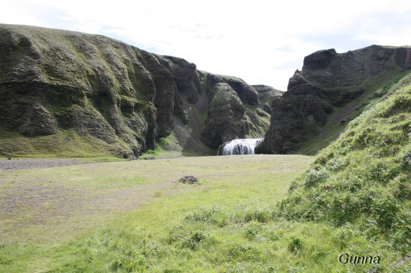
Blágil is a summer-only campsite on a grassy patch under the edge of Eldshraun, about 50 km from Kirkjubæjarklaustur and 10 km south of Laki. Reaching it means the F206 and several unbridged rivers, so a capable 4x4 is essential. A mountain hut on site sleeps 16.
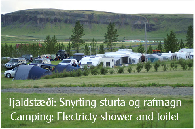
Getting to Blágil is half the story. You drive the Lakavegur, the F206, fording several unbridged rivers on the way — a route only good 4x4s should attempt. The site sits on grass beneath the edge of Eldshraun, roughly 50 km from Kirkjubæjarklaustur. On site there's a mountain hut with sleeping-bag space for sixteen, a kitchen, a toilet, and a shower. Cold water is laid on, and campers use the hut's toilet; the shower is available too, for a separate charge. The campsite sits close to the Laki area within the Vatnajökull national park, with good hiking trails around. During the park's education season, rangers lead guided walks from Laki. It's open over the summer only, and the hut is booked through the park's visitor centre in Kirkjubæjarklaustur.
Book ahead in summer, especially near popular spots. Campsites fill up by late afternoon.
Map of Blágil
64.0897°N, 18.1101°W · South Coast
Plan your visit
 Season
- Opið yfir sumarið.
 Walk-ins
- Not accepted — book ahead
 Advance booking
- Not offered
 Off the main road
- 33 km from Route 1
 Nearest town
- Kirkjubæjarklaustur — 36 km away
 Distance from Reykjavík
- 186 km in a straight line
 What else is close
- 66 mapped places within 20 km
Tours near Blágil
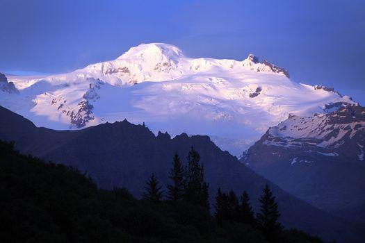 Hvannadalshnúkur - Iceland's highest summitfrom 57.999 ISK · 15 h
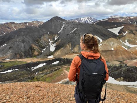 Highlands Hiking: Small Group Landmannalaugar Hike & Hot Springs - Without transferfrom 16.500 ISK · 5 h
 Bus transfer from Landmannalaugar to Hella / Reykjavikfrom 12.220 ISK · 4 h
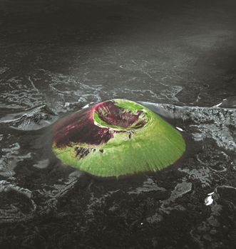 Laki Craters Airplane Tour from Skaftafellfrom 51.900 ISK · 50 min
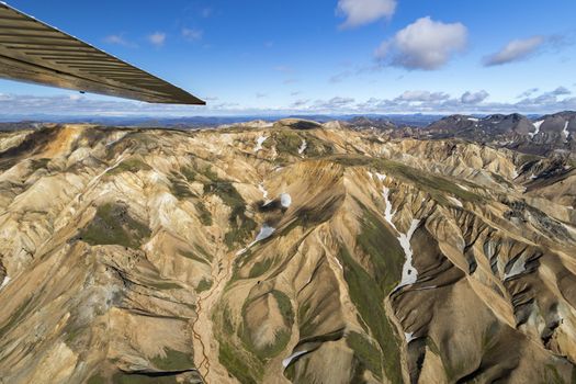 Landmannalaugar & Highland Wonders Airplane Tour from Skaftafellfrom 67.900 ISK · 1 h 15 min
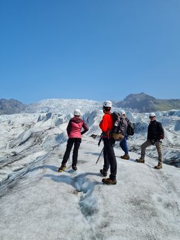 Skaftafell 3 Hour Glacier Walkfrom 17.900 ISK · 3 h
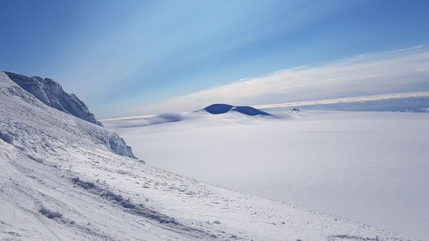 Rótarfjallshnúkur skiingfrom 64.900 ISK · 10 h
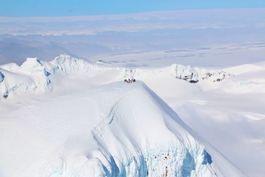 Lagoons, Glaciers & Colorful Mountains Airplane Tour from Skaftafellfrom 51.900 ISK · 50 min
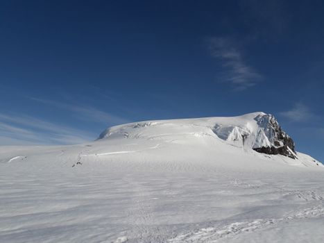 Hvannadalshnúkur The Great Withe Onefrom 79.900 ISK · 14 h
 Solheimajokull Ice Climbing & Glacier Hikefrom 31.381 ISK · 4 h
 Early Bird Ice Cavefrom 25.000 ISK · 3 h 30 min
 Laugarás Lagoon Birki - Premium Lagoonfrom 9.900 ISK · 2 hAll 1,648 toursBy activity and region
Amenities
 Pets allowed on a leash
 Shower
 Cold water
 Walking paths
Facilities listed by tjalda.is
Blágil weather and conditions
Last updated
- ISK 2,300 - Senior citizens and disabled people
- 2,300 ISK
- Free - Children 16 and under
- Free
- Shower
- 500 ISK
- Lodging tax per unit 400 ISK
- 400 ISK
- 2026 Information Coming Soon
- We are currently awaiting updated information from the campsite operator for the 2026 season. As soon as we receive it, this page will be updated with the latest details regarding opening dates, facilities, and pricing.
- Are you the operator of this campsite? Please contact us at tjalda@tjalda.is so we can update the information.
- ISK 2,800 - Individual per night
- Facility fee 500 ISK
Rates via tjalda.is · retrieved 2026-07-17

Cars & campers
 KEF airport pickup 24/74.8
 Transmission
 Fuel
Fuel Seats
Seats Drive
Drive

 Sleeps
Photos & videos
Nearby
km column = your drive
- 1Skælingar23 km
- 2
 Hörgsland29 km
 - 3
 Hólaskjól31 km
 - 4
 Kleifar32 km
 - 5
 Kirkjubær II, Kirkjubæjarklaustri33 km

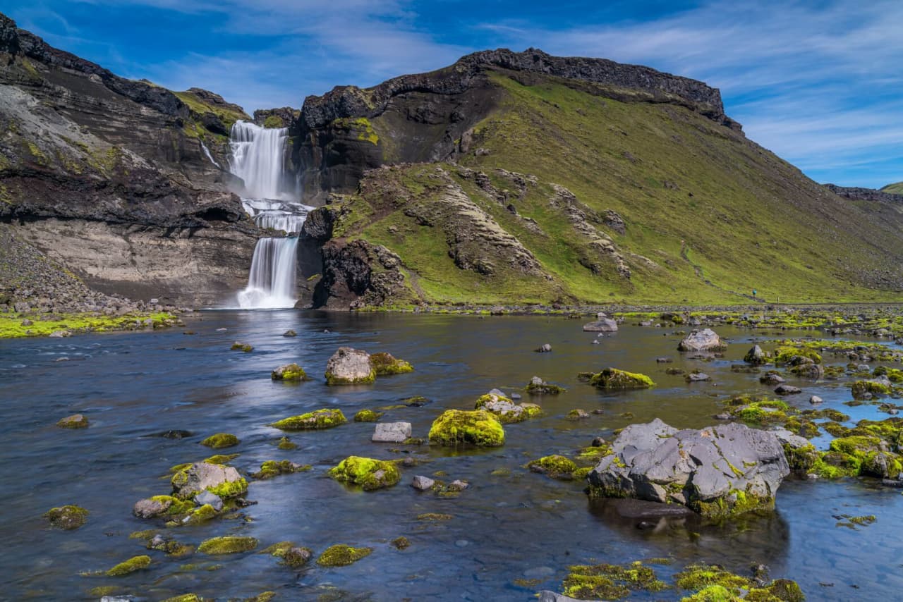
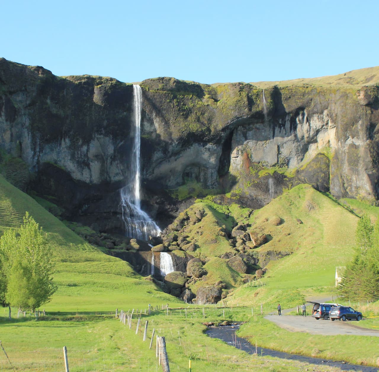
 Waterfalls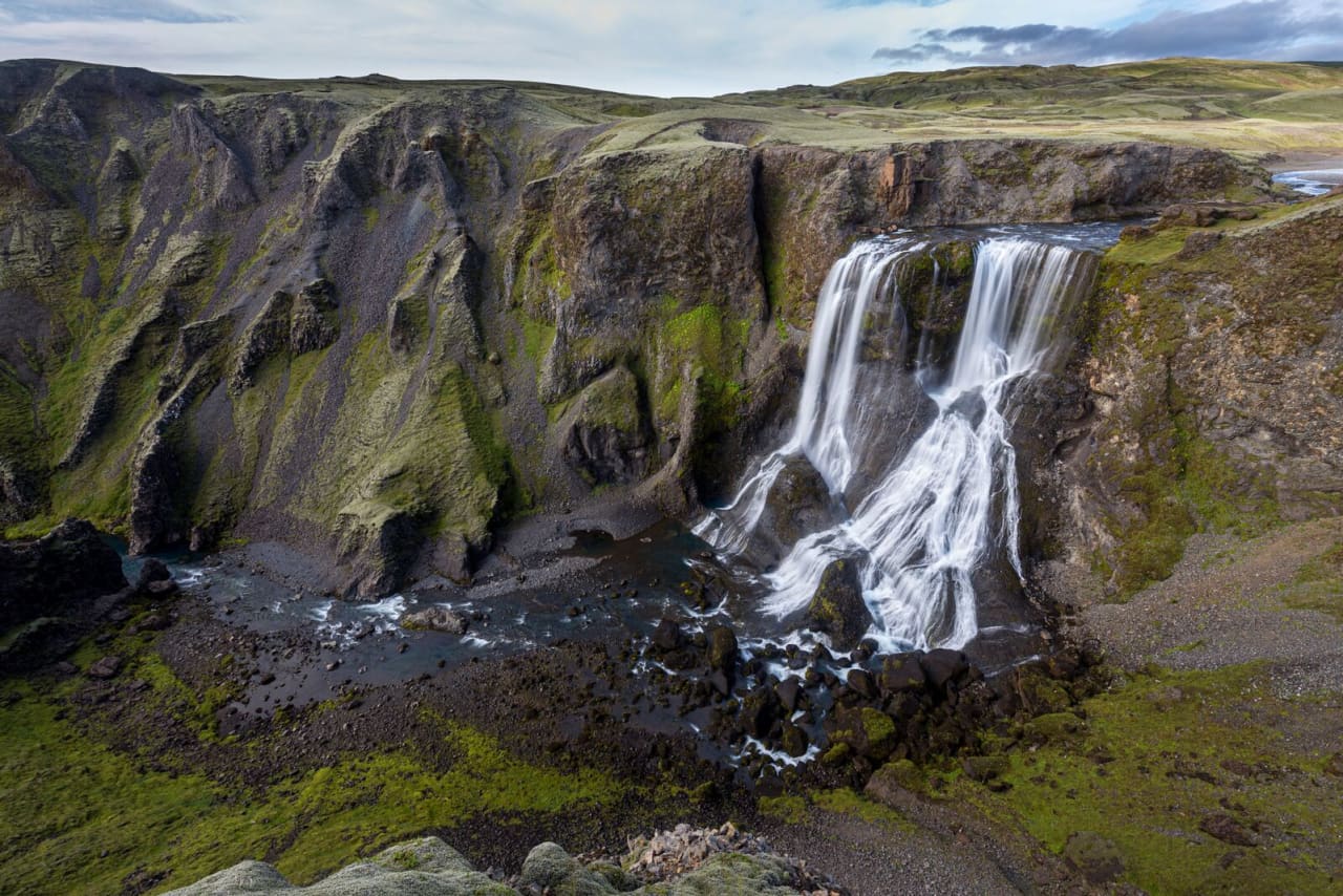
 Hot springs
- 1Guðlaug31 km
- 2Geothermal hot spring near Skaftárhreppur34 km
- 3Strútslaug47 km

 Fuel
Fuel
- 1
 Kirkjubæjarklaustur33 km · 308.7 kr/L
 - 2
 Hrauneyjar58 km · 315.8 kr/L
 - 3Freysnes60 km · 308.6 kr/L
 Supermarkets

 Tours
Tours
 Adrenaline Combo: Off-Road Buggy & Mega Zipline Experiencefrom 29.300 ISK · 3 hours
  Buggy Adventure in Þórsmörkfrom 89.990 ISK · 5 hours
 - Bus transfer from Landmannalaugar to Hella / Reykjavikfrom 12.220 ISK · 4 hours
Frequently
asked
questions
Can I wild camp near Blágil instead?
Do I need to book Blágil in advance?
When is Blágil open?
What facilities does Blágil have?
Data & sources
Everything on this page comes from the sources below. Live feeds refresh automatically.
 PhotographyHero & gallery photography · Photo: tjalda.is
 tjalda.isCampsite facts · About text by Map of Iceland (claude-opus-4-8, 2026-07)
 VegagerðinLive road status & cameras · Icelandic Road Administration
 Open-MeteoWeather forecast · CC BY 4.0
 NOAA SWPCAurora (planetary Kp) forecast · public domain
 OpenStreetMapInteractive-map data · ODbL
 Esri, Maxar & Earthstar GeographicsSatellite imagery for the 3D terrain render · GIS User Community
Spotted an error, or have something to add? Help us keep this page accurate.