



 Road
Road  Weather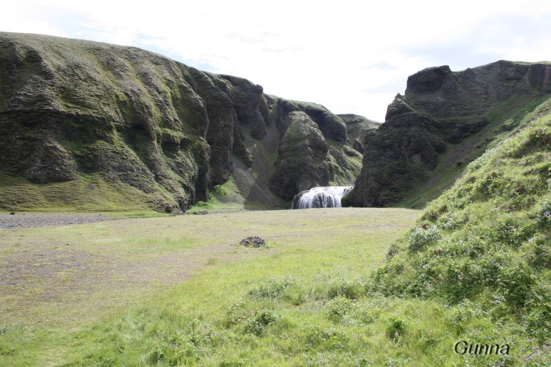


About
Kleifar is a simple site by the road to Geirland, about 2.5 km from Kirkjubæjarklaustur. Its selling point is Stjórnarfoss, the waterfall right beside it — warm enough to swim under on a good summer day. Open June through August, with two toilets and cold running water.
The reason to stop at Kleifar is Stjórnarfoss. The waterfall sits right by the site, and on a warm summer day the water at its base gets warm enough for a swim — not something you can say about most Icelandic falls. Otherwise this is a plain, honest campsite. You get two toilets, cold running water, and benches and tables for cooking and eating outdoors. A football field faces the site across the road. Dogs are welcome on a leash. It runs from June to the end of August and sits about 2.5 km from Kirkjubæjarklaustur, so the grocery store, restaurant and swimming pool there are only a short drive away when you need them. Think of it as a quiet, low-key base rather than a full-service stop.
Camping cards can save you money if you're spending multiple nights in the tent. Do the math.
Map of Kleifar
63.8011°N, 18.0570°W · South Coast
Plan your visit
 Season
- 1.júní til 31.ágúst
 Walk-ins
- Accepted — first-come, first-served
 Advance booking
- Not offered
 Getting there
- Road 203 (Geirlandsvegur að slitlagsenda)
 Off the main road
- 1.1 km from Route 1
 Nearest town
- Kirkjubæjarklaustur — 3.9 km away
 Distance from Reykjavík
- 193 km in a straight line
 What else is close
- 113 mapped places within 20 km
Tours that include Kleifar
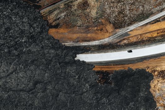 Grindavík, Krýsuvík & Eruption Site Half Day Tourfrom 14.990 ISK · 5 h 30 min
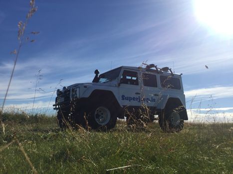 Reykjanes Peninsula & The Blue Lagoonfrom 70.800 ISK · 8 h
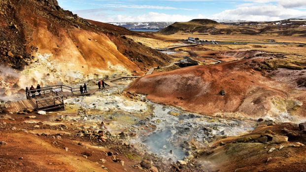 Reykjanes Geopark and Lava Landscapesfrom 19.300 ISK · 7 h
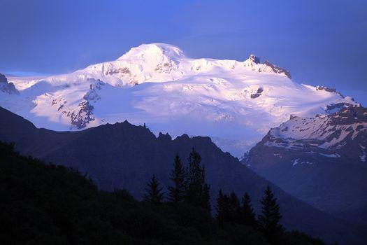 Hvannadalshnúkur - Iceland's highest summitfrom 57.999 ISK · 15 h
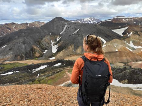 Highlands Hiking: Small Group Landmannalaugar Hike & Hot Springs - Without transferfrom 16.500 ISK · 5 h
 Bus transfer from Landmannalaugar to Hella / Reykjavikfrom 12.220 ISK · 4 h
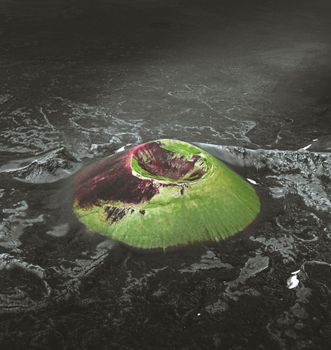 Laki Craters Airplane Tour from Skaftafellfrom 51.900 ISK · 50 min
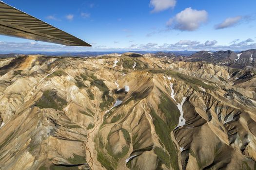 Landmannalaugar & Highland Wonders Airplane Tour from Skaftafellfrom 67.900 ISK · 1 h 15 min
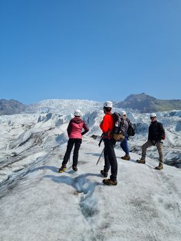 Skaftafell 3 Hour Glacier Walkfrom 17.900 ISK · 3 h
 Solheimajokull Ice Climbing & Glacier Hikefrom 31.381 ISK · 4 h
 Early Bird Ice Cavefrom 25.000 ISK · 3 h 30 min
 Laugarás Lagoon Birki - Premium Lagoonfrom 9.900 ISK · 2 hAll 1,648 toursBy activity and region
Amenities
 Pets allowed on a leash
 Cold water
 Toilets
 Walking paths
Facilities listed by tjalda.is
Kleifar weather and conditions
Last updated

Cars & campers
 KEF airport pickup 24/74.8
 Transmission
 Fuel
Fuel Seats
Seats Drive
Drive

 Sleeps
Photos & videos
Nearby
km column = your drive
- 1
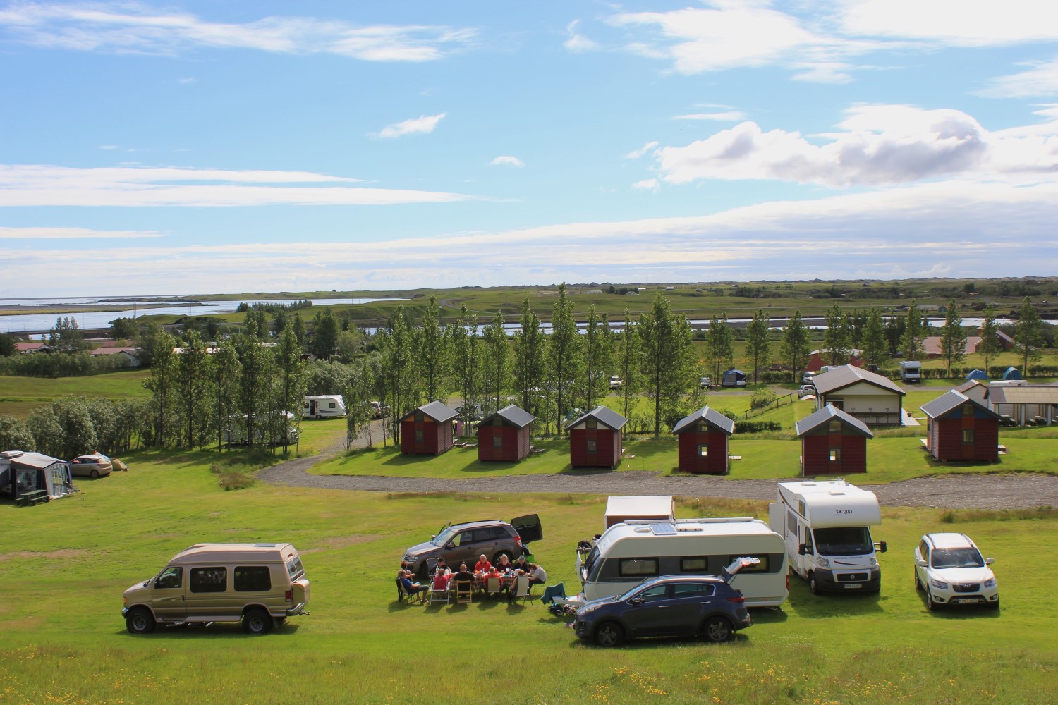 Kirkjubær II, Kirkjubæjarklaustri1 km
 - 2
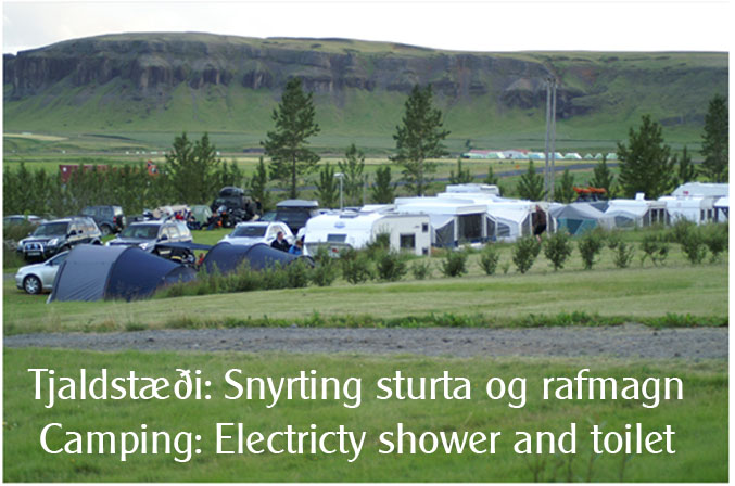 Hörgsland7 km
 - 3
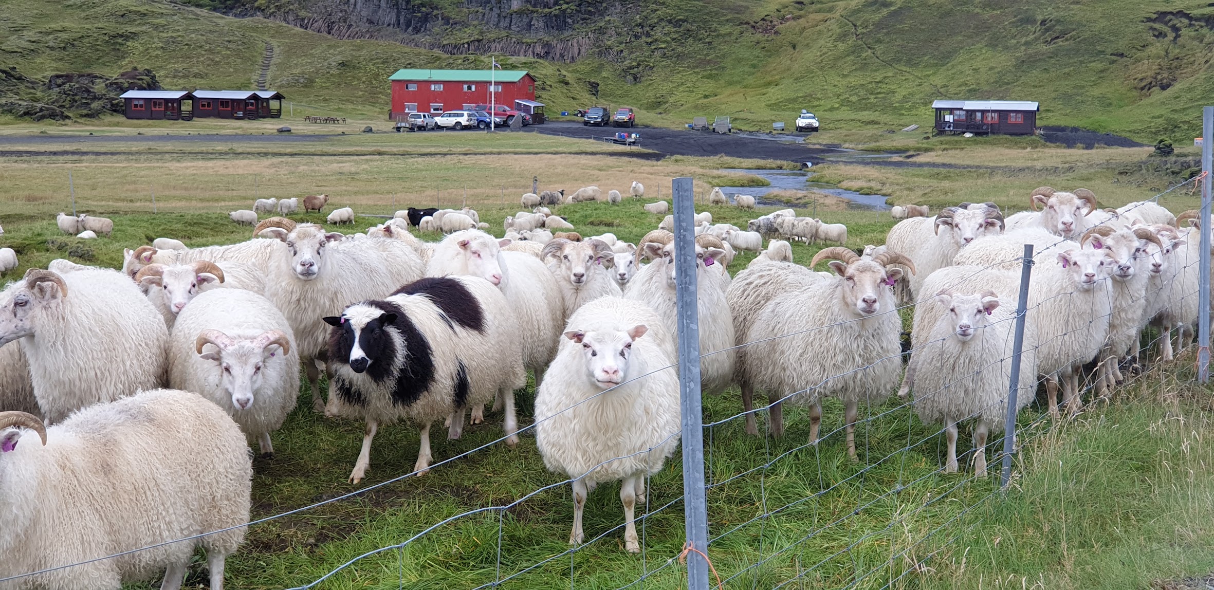 Hólaskjól29 km
 - 4Skælingar30 km
- 5
 Blágil32 km

 Waterfalls


 Hot springs
- 1Geothermal hot spring near Skaftárhreppur2 km
- 2Strútslaug44 km
- 3Guðlaug49 km

 Fuel
Fuel
- 1
 Kirkjubæjarklaustur1 km · 308.7 kr/L
 - 2Freysnes61 km · 308.6 kr/L
- 3Vík í Mýrdal63 km · 308.2 kr/L
 Supermarkets


 Tours
Tours
 Adrenaline Combo: Off-Road Buggy & Mega Zipline Experiencefrom 29.300 ISK · 3 hours
  Buggy Adventure in Þórsmörkfrom 89.990 ISK · 5 hours
 - Bus transfer from Landmannalaugar to Hella / Reykjavikfrom 12.220 ISK · 4 hours
Frequently
asked
questions
Can I wild camp near Kleifar instead?
Do I need to book Kleifar in advance?
When is Kleifar open?
What facilities does Kleifar have?
Data & sources
Everything on this page comes from the sources below. Live feeds refresh automatically.
 PhotographyHero & gallery photography · Photo: tjalda.is
 tjalda.isCampsite facts · About text by Map of Iceland (claude-opus-4-8, 2026-07)
 VegagerðinLive road status & cameras · Icelandic Road Administration
 Open-MeteoWeather forecast · CC BY 4.0
 NOAA SWPCAurora (planetary Kp) forecast · public domain
 OpenStreetMapInteractive-map data · ODbL
 Esri, Maxar & Earthstar GeographicsSatellite imagery for the 3D terrain render · GIS User Community
Spotted an error, or have something to add? Help us keep this page accurate.