





 Road
Road  Weather
  No photo of Jökulvegur yet
About
A switchback road climbing to the edge of a glacier, used by snowmobile tours and super jeeps bringing visitors onto the ice.
Exposed on the switchbacks — if heights bother you, this one will test that more than most F-roads.
It's noted on record as having more switchbacks than any other F-road in Iceland, climbing in a continuous series of turns until the road ends at the glacier's edge.
No water crossings are noted, so the hazard here is the sustained switchback climb itself — narrow turns, drop-offs, and elevation exposure. Take the switchbacks slowly and watch for oncoming traffic on blind turns.
Map of Jökulvegur
64.7000°N, 16.6667°W · Highlands
Plan your visit
 Nearest town
- Nesjahverfi — 81.3 km away
 Distance from Reykjavík
- 261 km in a straight line
 What else is close
- 18 mapped places within 20 km
Tours near Jökulvegur
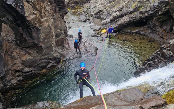 Half-day Canyoning under Vatnajökullfrom 34.900 ISK · 5 h
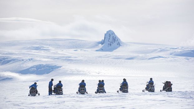 Snowmobile tour on Vatnajökull Glacierfrom 31.500 ISK · 3 h
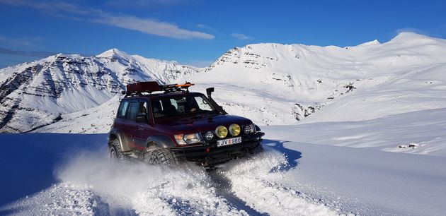 Super Jeep Glacier Tourfrom 31.000 ISK · 3 h
 Super Jeep Frozen Glacier Lagoon Tourfrom 23.500 ISK · 3 h
 Glacier Kayak Adventure at Heinabergslónfrom 20.900 ISK · 3 h 30 min
 Ice Climbing Captured in Skaftafellfrom 32.500 ISK · 4 h
 Kayaking at The Glacier Lagoonfrom 18.500 ISK · 1 h 30 min
 Ice Cave & Glacier Exploration Tourfrom 33.500 ISK · 6 h
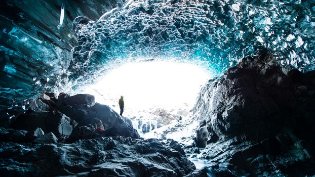 Ice Cave Tourfrom 23.500 ISK · 2 h 30 min
 Blue Ice - Glacier Hike & Ice Climbing from Reykjavíkfrom 32.990 ISK · 13 h 30 min
 Golden Circle and Laugarás Lagoon Lerki Admissionfrom 23.039 ISK · 9 h 30 min
 Spirit of the Aurora (28 person max vehicle)from 14.990 ISK · 5 hAll 1,648 toursBy activity and region
F985 typically opens late June–early July and closes by September–October — always confirm on road.is before you drive.
Jökulvegur weather and conditions
Last updated

Cars & campers
 KEF airport pickup 24/74.8
 Transmission
 Fuel
Fuel Seats
Seats Drive
Drive

 Sleeps
Photos & videos
Nearby
km column = your drive
- 1Kollumúlavegur10 km
- 2
 Austurleið16 km
 - 3
 Kverkfjallaleið34 km
 - 4
 Arnardalsleið36 km
 - 5
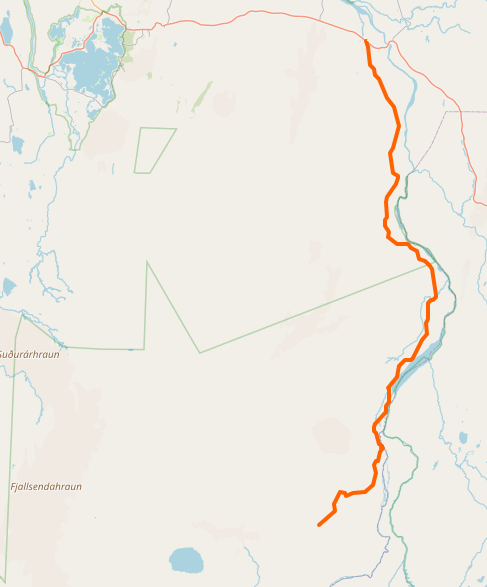 Öskjuleið39 km

 Waterfalls

 Hot springs
.jpg?width=1280)

 Fuel
Fuel
 Supermarkets

 Tours
Tours
 (Cruise Ships) Lake Mývatn and Goðafossfrom 25.300 ISK · 6 hours 30 minutes
 (RS) Lake Myvatn & Godafoss Waterfall Day Tour from Akureyrifrom 25.900 ISK · 6 hours
  A Gourmet golden circle - a taste of Iceland combined with amazing nature attractions!from 159.000 ISK · 8 hours
Frequently
asked
questions
What car do I need for F985?
Are there river crossings on F985?
Is F985 good for people afraid of heights?
What's at the end of F985?
Can I drive F985 in a 2WD car?
Data & sources
Everything on this page comes from the sources below. Live feeds refresh automatically.
 OpenStreetMapVisitor access & practical facts
 VegagerðinLive road status & cameras · Icelandic Road Administration
 Open-MeteoWeather forecast · CC BY 4.0
 NOAA SWPCAurora (planetary Kp) forecast · public domain
 OpenStreetMapInteractive-map data · ODbL
 Esri, Maxar & Earthstar GeographicsSatellite imagery for the 3D terrain render · GIS User Community
Spotted an error, or have something to add? Help us keep this page accurate.