





 Road
Road  Weather


About
An easy approach road to Askja, connecting into F910, covering a mix of terrain types in one drive.
Varied surface but low technical risk — the terrain changes constantly, but nothing here is flagged as a major obstacle.
It connects into F910 (Austurleið) as one of the routes into Askja, and is notable mainly for how many different surface types it covers in a single drive.
No big rivers are noted, which keeps the water-crossing risk low — but the surface changes constantly (gravel, clay, sand, sulfur ground), so adjust your speed and line as conditions shift rather than assuming one setting works the whole way.
Map of Arnardalsleið
64.8167°N, 15.9500°W · Highlands
Plan your visit
 Nearest town
- Nesjahverfi — 65.7 km away
 Distance from Reykjavík
- 296 km in a straight line
 What else is close
- 44 mapped places within 20 km
Tours near Arnardalsleið
 Museumfrom 3.000 ISK · 1 h
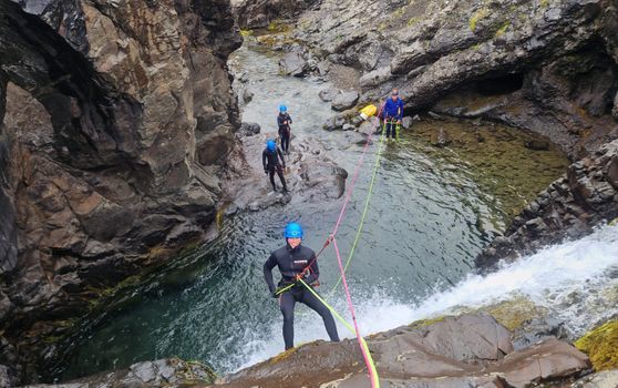 Half-day Canyoning under Vatnajökullfrom 34.900 ISK · 5 h
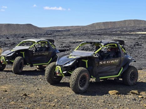 Buggy tours - beach and secret glacier lagoon - 4-5 hoursfrom 54.500 ISK · 4 h
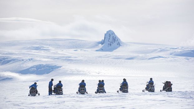 Snowmobile tour on Vatnajökull Glacierfrom 31.500 ISK · 3 h
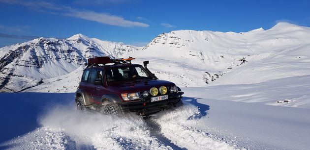 Super Jeep Glacier Tourfrom 31.000 ISK · 3 h
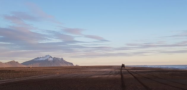 Super Jeep Frozen Glacier Lagoon Tourfrom 23.500 ISK · 3 h
 Northern Lights Chase from Glacier Lagoonfrom 25.000 ISK · 5 h
 Glaciers of Höfn - Where ice shapes lifefrom 2.990 ISK · 1 h
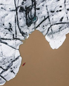 Glacier Kayak Adventure at Heinabergslónfrom 20.900 ISK · 3 h 30 min
 Blue Ice - Glacier Hike & Ice Climbing from Reykjavíkfrom 32.990 ISK · 13 h 30 min
 Golden Circle and Laugarás Lagoon Lerki Admissionfrom 23.039 ISK · 9 h 30 min
 Spirit of the Aurora (28 person max vehicle)from 14.990 ISK · 5 hAll 1,648 toursBy activity and region
Is F905 open right now?
Live from Vegagerðin, the authority that opens and closes this road. Every other highland road is on the live F-road map.
1 highland road reported · 1 not reported · Vegagerðin, updated 3 min ago
| F-road | Status now | Vegagerðin's wording |
|---|---|---|
| F905 Arnardalsleið | Not reported | Óþekkt |
F905 typically opens late June–early July and closes by September–October — always confirm on road.is before you drive.
Arnardalsleið weather and conditions
Last updated

Cars & campers
 KEF airport pickup 24/74.8
 Transmission
 Fuel
Fuel Seats
Seats Drive
Drive

 Sleeps
Photos & videos
Nearby
km column = your drive
- 1
 Kverkfjallaleið6 km
 - 2
 Hvannalindavegur6 km
 - 3Austurleið connector10 km
- 4
 Viðfjarðarvegur15 km
 - 5
 Snæfellsleið22 km

 Waterfalls


 Hot springs

 Fuel
Fuel
- 1Hallormsstaður65 km · 308.6 kr/L
- 2
 Nesjar65 km · 310.9 kr/L
 - 3Skjöldólfsstaðir68 km · 308.6 kr/L
 Supermarkets


 Tours
Tours
 (Cruise Ships) Lake Mývatn and Goðafossfrom 25.300 ISK · 6 hours 30 minutes
 (RS) Lake Myvatn & Godafoss Waterfall Day Tour from Akureyrifrom 25.900 ISK · 6 hours
  A Gourmet golden circle - a taste of Iceland combined with amazing nature attractions!from 159.000 ISK · 8 hours
Frequently
asked
questions
What car do I need for F905?
What does F905 connect to?
Are there river crossings on F905?
Is F905 a good route into Askja?
Can I drive F905 in a 2WD car?
Data & sources
Everything on this page comes from the sources below. Live feeds refresh automatically.
 Wikimedia CommonsHero & gallery photography · Rémih · Wikimedia Commons · CC BY-SA 4.0
 OpenStreetMapVisitor access & practical facts
 VegagerðinLive road status & cameras · Icelandic Road Administration
 Open-MeteoWeather forecast · CC BY 4.0
 NOAA SWPCAurora (planetary Kp) forecast · public domain
 OpenStreetMapInteractive-map data · ODbL
 Esri, Maxar & Earthstar GeographicsSatellite imagery for the 3D terrain render · GIS User Community
Spotted an error, or have something to add? Help us keep this page accurate.