




 Road
Road  Weather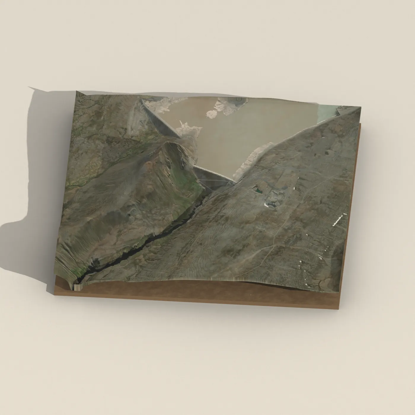


About
Hverfandi is a 100-meter waterfall in East Iceland.
Hverfandi is an approximately 100-metre-high man-made overflow waterfall, created to carry off spillover water from Hálslón, the reservoir of the Kárahnjúkar hydropower plant. Its name (meaning "the vanishing one") refers to the fact that it comes and goes depending on whether Hálslón is full. When it was active in September 2013, about 70 cubic metres of water per second fell into the gorge, and at its most powerful it becomes the most powerful waterfall in Europe. Hálslón has begun overflowing as early as 28 July (in 2010) and as late as 9 October (in 2015), and has stopped overflowing as early as 17 September (in 2020) and as late as 21 October (in 2019).
Translated from Icelandic Wikipedia · CC BY-SA 4.0
Map of Hverfandi
64.9502°N, 15.7901°W · East Iceland
Tours near Hverfandi
 Museumfrom 3.000 ISK · 1 h
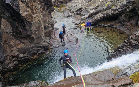 Half-day Canyoning under Vatnajökullfrom 34.900 ISK · 5 h
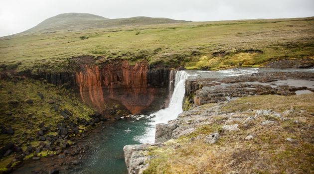 Wonders of the Wilderness - Summerfrom 61.000 ISK · 10 h
 Relax - The essential Vök Baths experiencefrom 7.690 ISK · 1 h 30 min
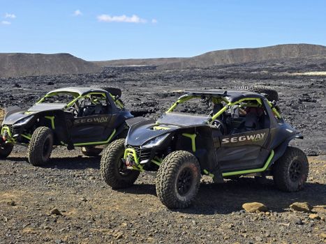 Buggy tours - beach and secret glacier lagoon - 4-5 hoursfrom 54.500 ISK · 4 h
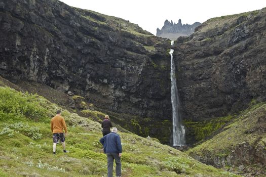 Valleys and Waterfallsfrom 42.000 ISK · 5 h
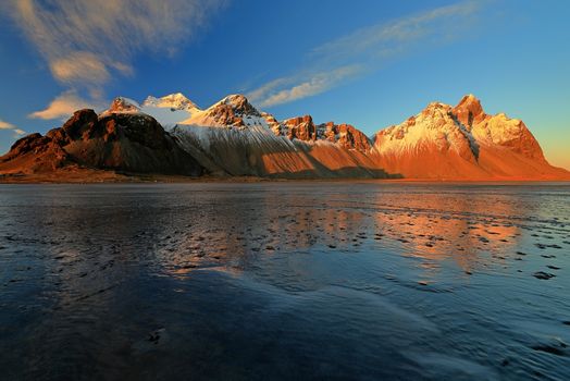 Djúpivogur: Jökulsárlón & Diamond Beach Cruise Tourfrom 29.550 ISK · 6 h 30 min
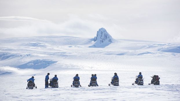 Snowmobile tour on Vatnajökull Glacierfrom 31.500 ISK · 3 h
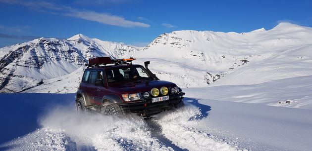 Super Jeep Glacier Tourfrom 31.000 ISK · 3 h
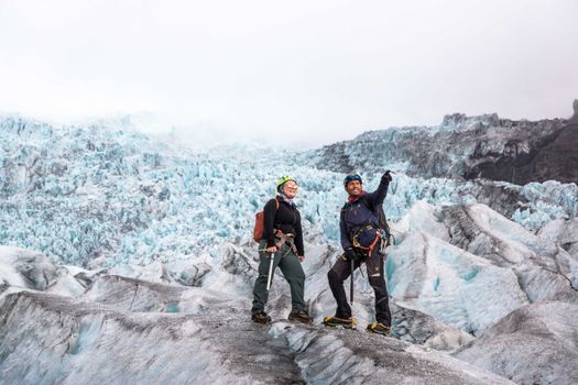 Skaftafell 5-Hours Adventure Glacier Hikefrom 20.775 ISK · 5 h
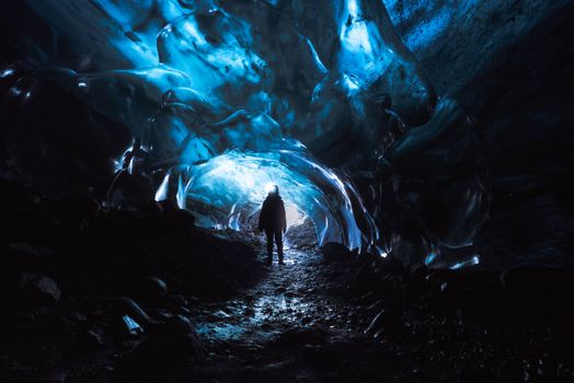 Skaftafell Blue Ice Cave and Glacier Walk Tourfrom 19.999 ISK · 3 h
 Northern Lights Chase from Glacier Lagoonfrom 25.000 ISK · 5 hAll 1,648 toursBy activity and region
Hverfandi weather and conditions
Last updated

Cars & campers
 KEF airport pickup 24/74.8
 Transmission
 Fuel
Fuel Seats
Seats Drive
Drive

 Sleeps
Photos & videos
Nearby
km column = your drive
- 1
 Sauðárfoss5 km
 - 2
 Töfrafoss13 km
 - 3
 Slæðufoss21 km
 - 4Faxi23 km
- 5
 Stuðlafoss23 km

 Waterfalls
 Hot springs

 Fuel
Fuel
- 1Skjöldólfsstaðir51 km · 308.6 kr/L
- 2Hallormsstaður52 km · 308.6 kr/L
- 3Möðrudalur54 km · 308.6 kr/L
 Supermarkets


 Tours
Tours
 Abandoned Fjords Super Jeep Tourfrom 42.000 ISK · 5 hours
 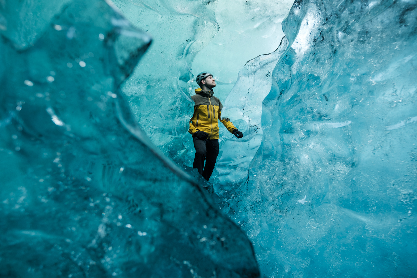 Blue Ice Discoveryfrom 24.900 ISK · 4 hours
 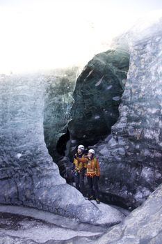 Breidamerkurjökull Glacier Hikefrom 15.377 ISK · 3 hours
Frequently
asked
questions
How do I get to Hverfandi?
Is Hverfandi free to visit?
What is the best time to visit Hverfandi?
Data & sources
Everything on this page comes from the sources below. Live feeds refresh automatically.
 Icelandic WikipediaEncyclopedic description · CC BY-SA 4.0
 VegagerðinLive road status & cameras · Icelandic Road Administration
 Open-MeteoWeather forecast · CC BY 4.0
 NOAA SWPCAurora (planetary Kp) forecast · public domain
 OpenStreetMapInteractive-map data · ODbL
 Esri, Maxar & Earthstar GeographicsSatellite imagery for the 3D terrain render · GIS User Community
Spotted an error, or have something to add? Help us keep this page accurate.