





 Road
Road  Weather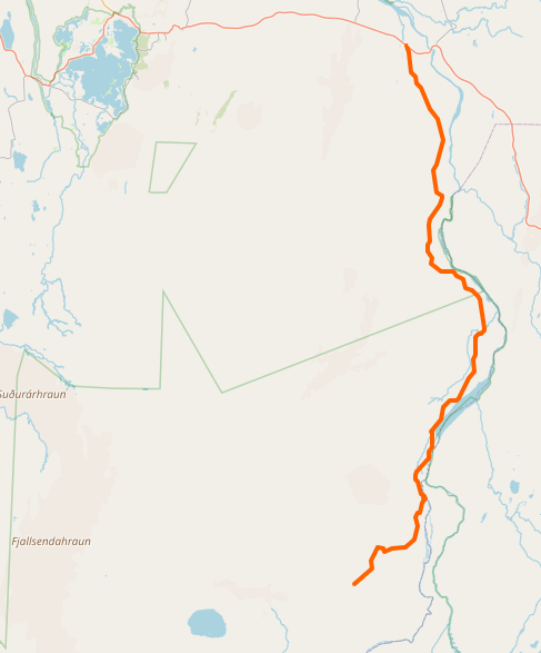


About
Shortcut to Askja caldera. One controversial river. Locals say easy, tourists say terrifying.
Walking where astronauts walked hits different. They came here to prepare for the moon. You're standing on the closest thing to another world.
Apollo astronauts trained here in 1965. NASA picked Askja because it looks like the moon. Neil Armstrong walked these paths before walking on the actual moon.
The Lindaá river is the debate. Locals think it's nothing. Tourists freak out. Check water levels on road.is before deciding. The eastern route via F910 avoids Lindaá completely if you're unsure.
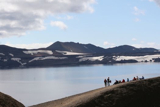
Askja crater is incredible. Víti crater lake is warm enough to swim. The whole area looks like another world - because NASA thought so too.
Crater lakes need no wind to get reflections - rare but magical. Shoot Víti from the eastern rim. Morning light fills the crater best.
Not much lives here. Gyrfalcons hunt along the route. Snow buntings nest in the sand. That's about it.
Map of Öskjuleið
65.0500°N, 16.7500°W · Highlands
Plan your visit
 Nearest town
- Vogar við Mývatn — 64.3 km away
 Distance from Reykjavík
- 267 km in a straight line
 What else is close
- 62 mapped places within 20 km
Tours near Öskjuleið
 Askja Classicfrom 34.900 ISK · 12 h
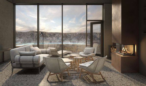 Earth Exclusive - Earth lagoon Myvatnfrom 52.000 ISK · 4 h
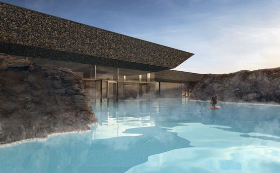 Earth Essential - Earth Lagoon Mývatnfrom 7.900 ISK · 1 h 30 min
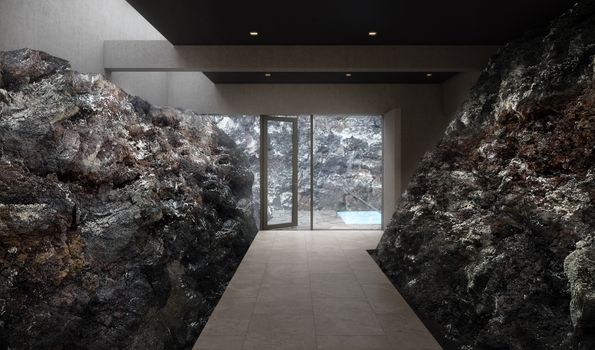 Earth Signature - Earth Lagoon Mývatnfrom 9.900 ISK · 1 h 30 min
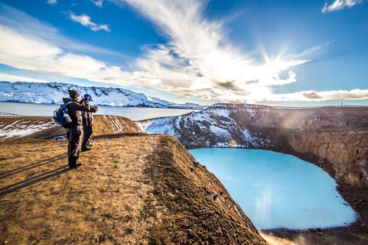 Askja Caldera & Herðubreiðarlindir - Super jeep day tourfrom 59.900 ISK · 12 h
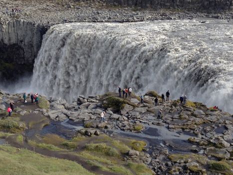 Lake Myvatn and Dettifoss Waterfall (from Lake Myvatn)from 39.900 ISK · 6 h
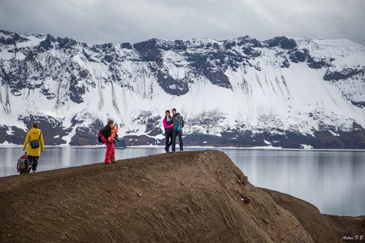 Askja & Herðubreið Super Jeep Tourfrom 59.900 ISK · 12 h
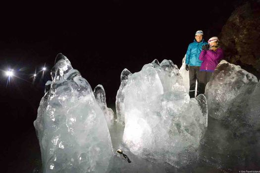 Lofthellir Ice-Cave Exploration - Super Jeep Tourfrom 49.900 ISK · 4 h 30 min
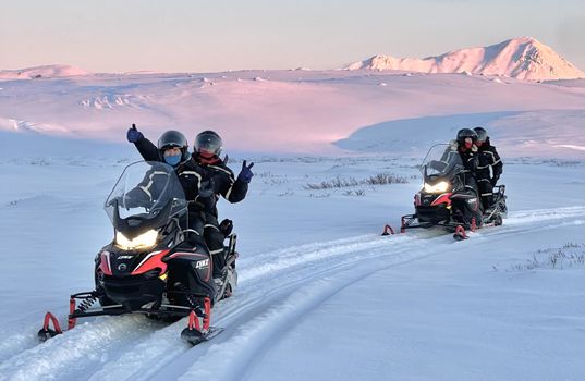 Lake Mývatn 1.Hour Snowmobile Safarifrom 29.900 ISK · 1 h 30 min
 Blue Ice - Glacier Hike & Ice Climbing from Reykjavíkfrom 32.990 ISK · 13 h 30 min
 Golden Circle and Laugarás Lagoon Lerki Admissionfrom 23.039 ISK · 9 h 30 min
 Spirit of the Aurora (28 person max vehicle)from 14.990 ISK · 5 hAll 1,648 toursBy activity and region
Is F88 open right now?
Live from Vegagerðin, the authority that opens and closes this road. Every other highland road is on the live F-road map.
1 highland road reported · 1 closed or closed in places · Vegagerðin, updated 3 min ago
| F-road | Status now | Vegagerðin's wording |
|---|---|---|
| F88 Öskjuleið | Impassable | Ófært |
F88 typically opens Late June and closes September — always confirm on road.is before you drive.
Öskjuleið weather and conditions
Last updated

Cars & campers
 KEF airport pickup 24/74.8
 Transmission
 Fuel
Fuel Seats
Seats Drive
Drive

 Sleeps
Photos & videos
Nearby
km column = your drive
- 1Öskjuvatnsvegur20 km
- 2
 Flateyjardalsvegur27 km
 - 3Kollumúlavegur35 km
- 4Dragaleið36 km
- 5
 Austurleið37 km

 Waterfalls

 Hot springs
.jpg?width=1280)


 Fuel
Fuel
 Supermarkets

 Tours
Tours
 (Cruise Ships) Lake Mývatn and Goðafossfrom 25.300 ISK · 6 hours 30 minutes
 (RS) Lake Myvatn & Godafoss Waterfall Day Tour from Akureyrifrom 25.900 ISK · 6 hours
  A Gourmet golden circle - a taste of Iceland combined with amazing nature attractions!from 159.000 ISK · 8 hours
Frequently
asked
questions
What car do I need for F88?
Can I drive F88 in a 2WD car?
When does F88 open?
How do I get to F88?
Is river-crossing damage covered by rental insurance on F88?
Data & sources
Everything on this page comes from the sources below. Live feeds refresh automatically.
 Wikimedia CommonsHero & gallery photography · OpenStreetMap contributors · Wikimedia Commons · CC BY-SA 4.0
 OpenStreetMapVisitor access & practical facts
 VegagerðinLive road status & cameras · Icelandic Road Administration
 Open-MeteoWeather forecast · CC BY 4.0
 NOAA SWPCAurora (planetary Kp) forecast · public domain
 OpenStreetMapInteractive-map data · ODbL
 Esri, Maxar & Earthstar GeographicsSatellite imagery for the 3D terrain render · GIS User Community
Spotted an error, or have something to add? Help us keep this page accurate.