



Kerlingafjallavegur


 Road loading…
 Weather loading…
 No photo of Kerlingafjallavegur yetF-roadHighlands
Kerlingafjallavegur

About
Road to Kerlingarfjöll - the colorful steaming mountains. No rivers until you pass the resort.
Your brain refuses to believe these colors are real. Photos look edited. They're actually undersaturated compared to reality. It breaks your mind a little.
Name means 'Old Woman's Mountains' - there was a rock that looked like one, now collapsed. People used to think the steam was dangerous. The resort only opened in 2000.
Book the resort 6 months early for summer weekends. No joke. The road beyond to Hveradalir gets rough - check before you go. Bring food, no restaurants in the valley.
Rainbow mountains with steam rising through them. Hot spring valley you can hike through. One of the few highland spots with actual accommodation.
Fog in Hveradalir is your friend - steam creates layers. Morning frost on colored rocks sparkles. Stay at the resort for sunrise access.
Flies survive here at crazy altitudes because of the warmth. Weird alpine plants grow in toxic mineral soil. Ravens follow hikers.
Map of Kerlingafjallavegur
64.6667°N, 19.7500°W · Highlands
Plan your visit
 Off the main road
- 6.5 km from Route 35
 Nearest town
- Bláskógabyggð — 53.4 km away
 Distance from Reykjavík
- 120 km in a straight line
 What else is close
- 55 mapped places within 20 km
Tours near Kerlingafjallavegur
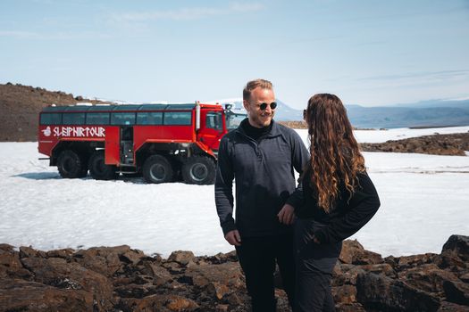 Red Glacier Monster Truck Tour - Unique Langjökull Glacier Tour from Gullfossfrom 22.900 ISK · 4 h
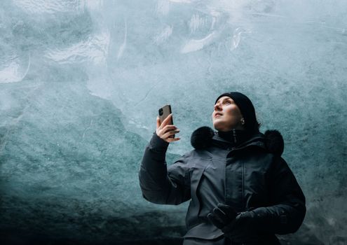 Ice Cave and Glacier Tour in Glacier Monster Truck from Gullfossfrom 24.900 ISK · 4 h
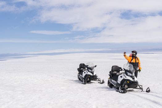 Into The Glacier - With Snowmobiling From Klaki Base Campfrom 36.900 ISK · 2 h 30 min
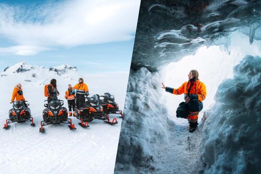 Glacier Snowmobiling & Ice Cave from Geysir Areafrom 38.990 ISK · 5 h
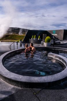 Krauma nature baths - Admission feefrom 7.900 ISK · 1 h
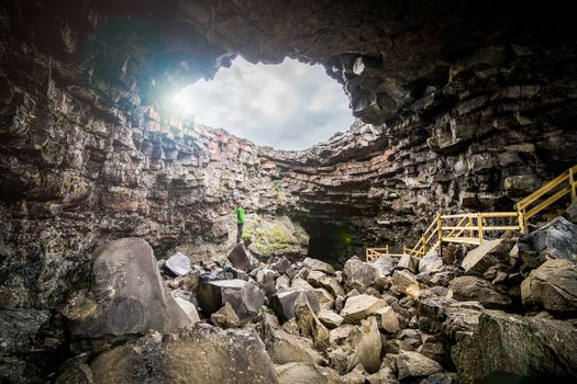 Cave Explorerfrom 9.000 ISK · 1 h 30 min
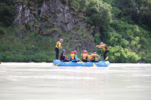 Family Fun Raftingfrom 19.990 ISK · 3 h
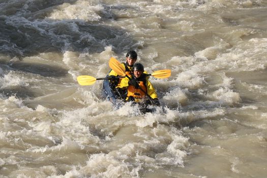 Kayak River Ridefrom 30.990 ISK · 3 h
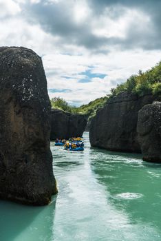 River Fun Raftingfrom 22.990 ISK · 3 h
 Blue Ice - Glacier Hike & Ice Climbing from Reykjavíkfrom 32.990 ISK · 13 h 30 min
 Golden Circle and Laugarás Lagoon Lerki Admissionfrom 23.039 ISK · 9 h 30 min
 Spirit of the Aurora (28 person max vehicle)from 14.990 ISK · 5 hAll 1,648 toursBy activity and region
Is F347 open right now?
Live from Vegagerðin, the authority that opens and closes this road. Every other highland road is on the live F-road map.
1 highland road reported · 1 not reported · Vegagerðin, updated 3 min ago
| F-road | Status now | Vegagerðin's wording |
|---|---|---|
| F347 Kerlingafjallavegur | Not reported | Óþekkt |
F347 typically opens Mid June and closes Late September — always confirm on road.is before you drive.
Kerlingafjallavegur weather and conditions
Last updated

Cars & campers
 KEF airport pickup 24/74.8
 Transmission
 Fuel
Fuel Seats
Seats Drive
Drive

 Sleeps
Photos & videos
Nearby
km column = your drive
- 1
 Kerlingarfjöll old10 km
 - 2Svörtutungur16 km
- 3Þjófadalavegur18 km
- 4Kjalvegur22 km
- 5
 Haukadalsskarðsvegur43 km

 Waterfalls

 Hot springs
- 1Geothermal hot spring near Hrunamannahreppur21 km
- 2Sundlaug22 km
- 3
%20high%20temperature%20area%2C%20Iceland%20(8).jpg?width=1280) Hveradalir22 km
Hveradalir22 km

 Fuel
Fuel

 Supermarkets
 Tours
Tours
 (Cruise Ships) Lake Mývatn and Goðafossfrom 25.300 ISK · 6 hours 30 minutes
 (RS) Lake Myvatn & Godafoss Waterfall Day Tour from Akureyrifrom 25.900 ISK · 6 hours
  A Gourmet golden circle - a taste of Iceland combined with amazing nature attractions!from 159.000 ISK · 8 hours
Frequently
asked
questions
What car do I need for F347?
Can I drive F347 in a 2WD car?
When does F347 open?
How do I get to F347?
Is river-crossing damage covered by rental insurance on F347?
Data & sources
Everything on this page comes from the sources below. Live feeds refresh automatically.
 VegagerðinVisitor access & practical facts
 VegagerðinLive road status & cameras · Icelandic Road Administration
 Open-MeteoWeather forecast · CC BY 4.0
 NOAA SWPCAurora (planetary Kp) forecast · public domain
 OpenStreetMapInteractive-map data · ODbL
 Esri, Maxar & Earthstar GeographicsSatellite imagery for the 3D terrain render · GIS User Community
Spotted an error, or have something to add? Help us keep this page accurate.