





 Road
Road  Weather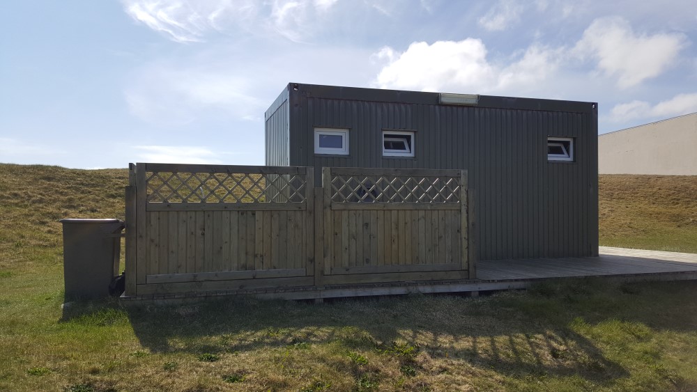


About
Raufarhöfn is the northernmost village in Iceland, and its campsite sits in a quiet spot by the pond, with every service in the village a short walk away. Right next door, the sports centre has an indoor pool, hot tub, steam room and gym. Open 15 May until roughly the first freeze.
Raufarhöfn holds a title: it's the northernmost village in Iceland, where the spring nights are the brightest you'll find and the winter days the darkest. The campsite itself sits quietly by the pond, with the whole village — health care, shop, bank, post office, fuel, café — within walking distance. The neighbour that makes it is the sports centre next door, which has an indoor pool, hot tub, steam room and fitness room, plus a washing machine and dryer for a fee. On site there's a jumping pillow, a playground and fishing. The Arctic Circle runs right by the beach, and a large outdoor artwork stands on the ridge above the village. There's a second, electricity-free camping area at the football field for anyone who doesn't need a hookup. The season runs from 15 May until the freeze sets in.
Camping cards can save you money if you're spending multiple nights in the tent. Do the math.
Map of Raufarhöfn
66.4479°N, 15.9427°W · North Iceland
Plan your visit
 Season
- Open from 15 May to 1 October, or until freezing conditions begin.
 Walk-ins
- Accepted — first-come, first-served
 Advance booking
- Not offered
 Getting there
- Road 874 (Raufarhafnarvegur)
 Off the main road
- 16.6 km from Route 85
 Nearest town
- Raufarhöfn — 0.4 km away
 Distance from Reykjavík
- 378 km in a straight line
 What else is close
- 23 mapped places within 20 km
Tours near Raufarhöfn
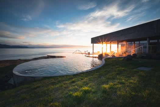 Geosea Ticketfrom 7.490 ISK
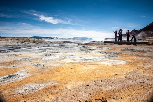 From Húsavík Port: Dettifoss & Lake Mývatn Tourfrom 36.000 ISK · 7 h
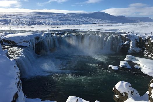 Lake Myvatn Day Tour and Godafoss Waterfall for Cruise Ships from Husavik Portfrom 25.900 ISK · 5 h 30 min
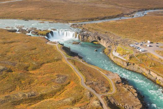 From Húsavík Port: Goðafoss Waterfall & Turfhouse Museumfrom 25.000 ISK · 4 h
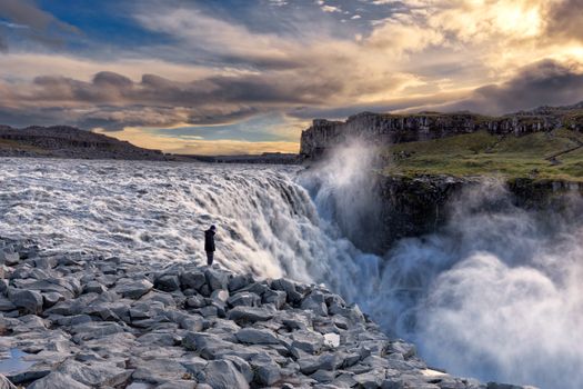 Dettifoss Waterfall, Ásbyrgi and Lake Mývatn - Shore Excursion from Húsavíkfrom 24.990 ISK · 5 h 30 min
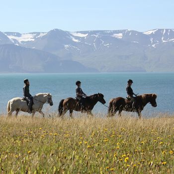 Whales & Horsesfrom 22.990 ISK · 4 h
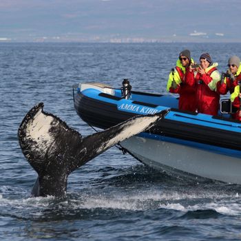 Big Whale Safari & Puffinsfrom 21.990 ISK · 2 h
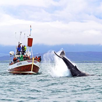 Whale Watchingfrom 12.490 ISK · 3 h
 Húsavík Original Whale Watchingfrom 14.036 ISK · 3 h
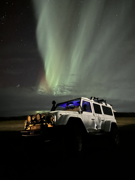 Northern Lights 4x4 Tour from Akureyrifrom 34.799 ISK · 2 h 30 min
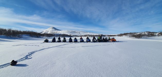 Lake Mývatn & Snowmobile Tour from Akureyrifrom 59.900 ISK · 9 h
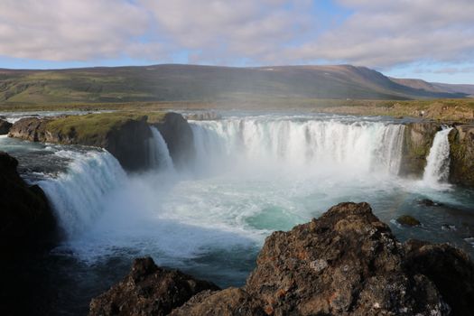 Goðafoss and the Forest Lagoonfrom 26.400 ISK · 4 hAll 1,648 toursBy activity and region
Amenities
 Electricity
 Pets allowed on a leash
 Shower
 Washing machine
 Toilets
 Walking paths
 Playground
 Jumping Pillow
 Food service
 Swimming pool
 Fishing
Facilities listed by tjalda.is
Raufarhöfn weather and conditions
Last updated
- Adults
- 2,000 ISK per person / night
- Seniors and people with disabilities
- 1,500 ISK per person / night
- Children 0–18 years old (0–18 years)
- Free
- Electricity
- 1,500 ISK per night
- Accommodation tax
- 400 ISK per unit / night
- Important Information
- The campsite is open from 15 May to 1 October, or until freezing conditions begin.
- The campsite attendant arrives between 19:00 and 20:00 to collect payment from guests.
- Camping and overnight stays in vehicles near the Arctic Henge are strictly prohibited.
- Violators may be subject to fines.
Rates via tjalda.is · retrieved 2026-07-17

Cars & campers
 KEF airport pickup 24/74.8
 Transmission
 Fuel
Fuel Seats
Seats Drive
Drive

 Sleeps
Photos & videos
Nearby
km column = your drive
- 1Tjaldstæði Raufarhafnar< 1 km
- 2
Kópasker28 km
- 3
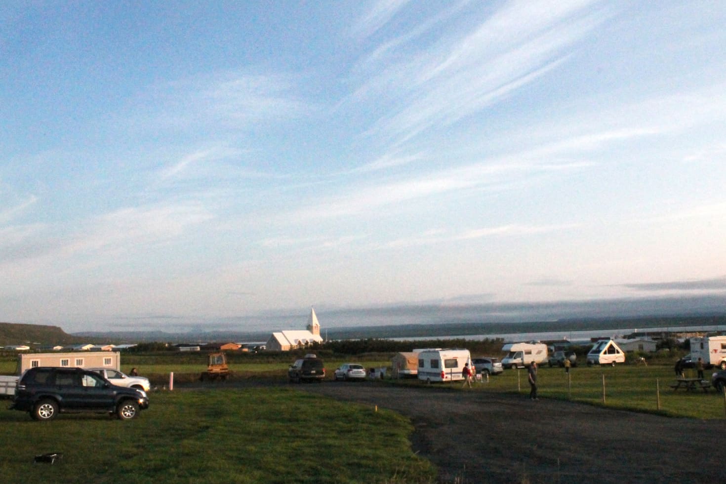 Tjaldsvæðið á Þórshöfn39 km
 - 4
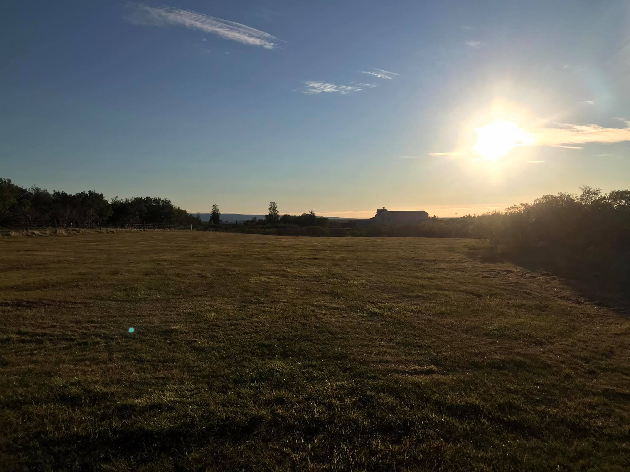 Lundur Tjaldsvæði47 km
 - 5Tjaldsvæði Lundi47 km

 Waterfalls
 Hot springs
All hot springs →
 Fuel
Fuel
 Supermarkets

 Tours
Tours
 (Cruise Ships) Lake Mývatn and Goðafossfrom 25.300 ISK · 6 hours 30 minutes
 (RS) Lake Myvatn & Godafoss Waterfall Day Tour from Akureyrifrom 25.900 ISK · 6 hours
 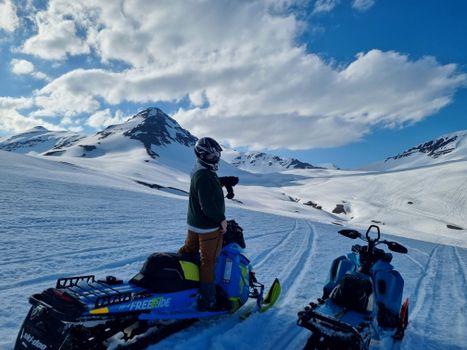 Adventure snowmobile tour Akureyrifrom 166.750 ISK · 5 hours
Frequently
asked
questions
Can I wild camp near Raufarhöfn instead?
Do I need to book Raufarhöfn in advance?
When is Raufarhöfn open?
What facilities does Raufarhöfn have?
How much does Raufarhöfn cost?
Data & sources
Everything on this page comes from the sources below. Live feeds refresh automatically.
 PhotographyHero & gallery photography · Photo: tjalda.is
 tjalda.isCampsite facts · About text by Map of Iceland (claude-opus-4-8, 2026-07)
 VegagerðinLive road status & cameras · Icelandic Road Administration
 Open-MeteoWeather forecast · CC BY 4.0
 NOAA SWPCAurora (planetary Kp) forecast · public domain
 OpenStreetMapInteractive-map data · ODbL
 Esri, Maxar & Earthstar GeographicsSatellite imagery for the 3D terrain render · GIS User Community
Spotted an error, or have something to add? Help us keep this page accurate.