




 Road
Road  Weather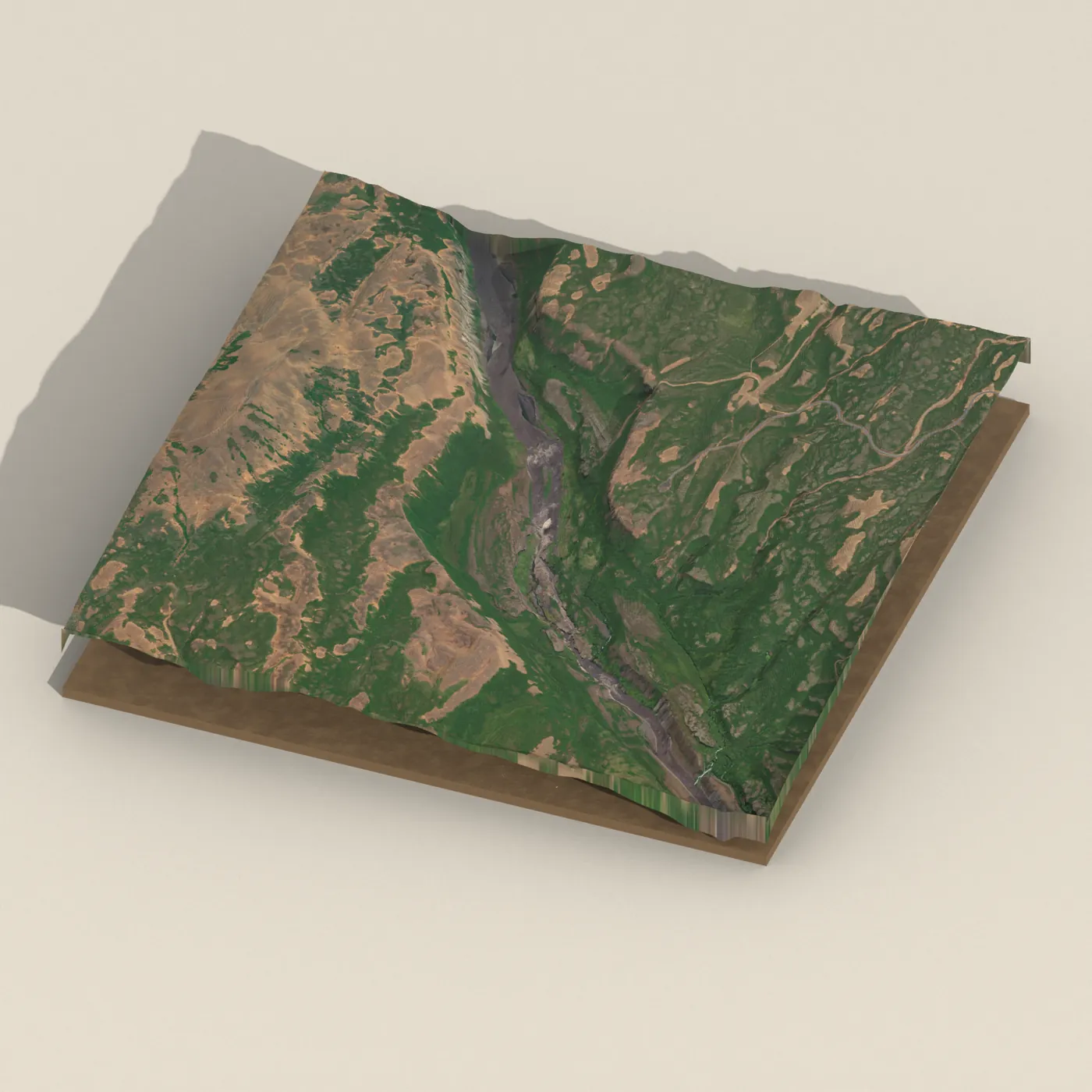


About
Réttarfoss is a waterfall on the Jökulsá á Fjöllum river in North Iceland.
Here the river plunges 12 meters, and the waterfall is about 75 meters wide. Upstream lie Hafragilsfoss, Dettifoss, and Selfoss, while Vígabjargsfoss lies downstream before the river flows into Öxarfjörður. It can be reached from the west via the Dettifossvegur (Route 862) and the Tungnavegur (Route 887). The name comes from the Icelandic word "rétt," meaning a livestock enclosure or sheepfold, a name shared by several waterfalls in Iceland.
Translated from Icelandic Wikipedia · CC BY-SA 4.0
Map of Réttarfoss
65.8794°N, 16.4352°W · North Iceland
Tours near Réttarfoss
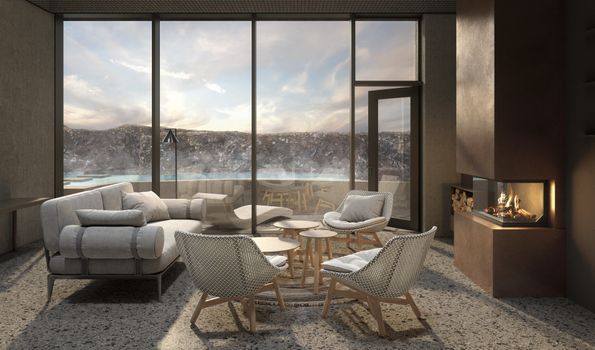 Earth Exclusive - Earth lagoon Myvatnfrom 52.000 ISK · 4 h
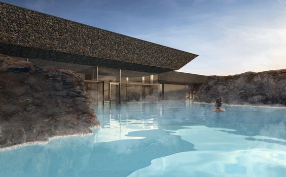 Earth Essential - Earth Lagoon Mývatnfrom 7.900 ISK · 1 h 30 min
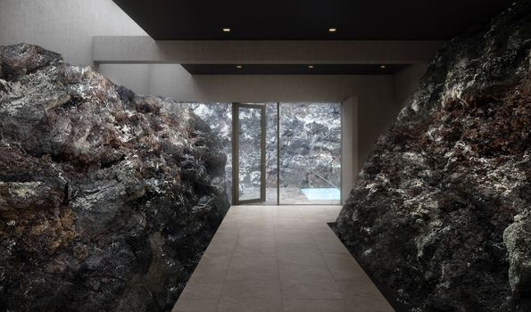 Earth Signature - Earth Lagoon Mývatnfrom 9.900 ISK · 1 h 30 min
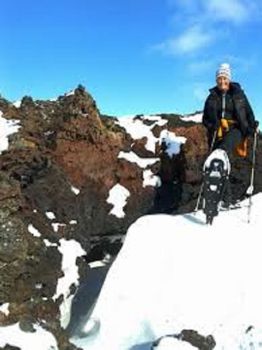 Snowshoeing in Krafla volcanic areafrom 18.900 ISK · 3 h
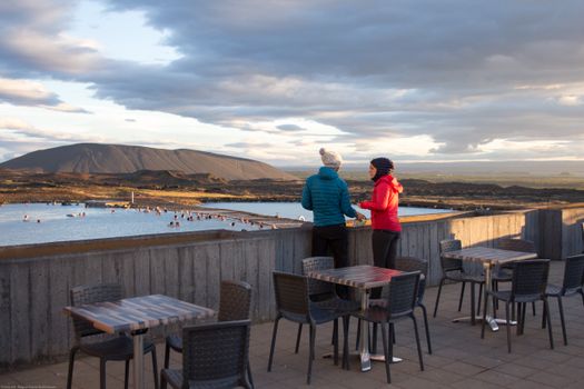 Bike and Bathfrom 18.900 ISK · 3 h
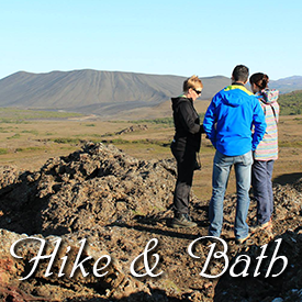 Hike and Bathfrom 18.900 ISK · 5 h
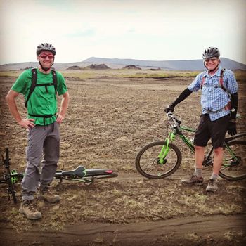 Fat Bike Mountain challengefrom 24.900 ISK · 3 h
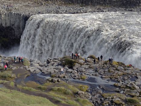 Lake Myvatn and Dettifoss Waterfall (from Lake Myvatn)from 39.900 ISK · 6 h
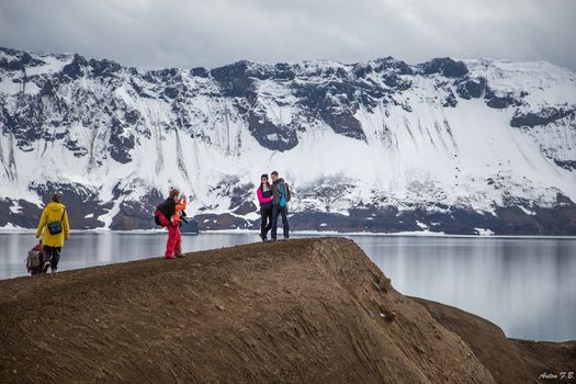 Askja & Herðubreið Super Jeep Tourfrom 59.900 ISK · 12 h
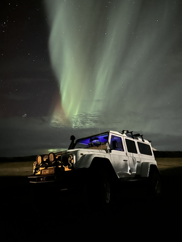 Northern Lights 4x4 Tour from Akureyrifrom 34.799 ISK · 2 h 30 min
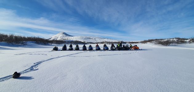 Lake Mývatn & Snowmobile Tour from Akureyrifrom 59.900 ISK · 9 h
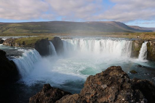 Goðafoss and the Forest Lagoonfrom 26.400 ISK · 4 hAll 1,648 toursBy activity and region
Réttarfoss weather and conditions
Last updated

Cars & campers
 KEF airport pickup 24/74.8
 Transmission
 Fuel
Fuel Seats
Seats Drive
Drive

 Sleeps
Photos & videos

No photos or videos yet
Been to Réttarfoss? Help other travellers — add the first photo or video.
 Search YouTube
Nearby
km column = your drive
- 1Hólmárfossar2 km
- 2Hafragilsfoss5 km
- 3
Dettifoss8 km
- 4
Selfoss9 km
- 5Geldingafoss45 km

 Hot springs
All hot springs →
.jpg?width=1280)
 Fuel
Fuel
 Supermarkets

 Tours
Tours
 (Cruise Ships) Lake Mývatn and Goðafossfrom 25.300 ISK · 6 hours 30 minutes
 (RS) Lake Myvatn & Godafoss Waterfall Day Tour from Akureyrifrom 25.900 ISK · 6 hours
 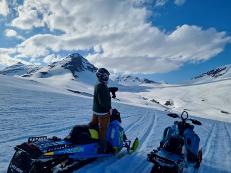 Adventure snowmobile tour Akureyrifrom 166.750 ISK · 5 hours
Frequently
asked
questions
How do I get to Réttarfoss?
Is Réttarfoss free to visit?
What is the best time to visit Réttarfoss?
Data & sources
Everything on this page comes from the sources below. Live feeds refresh automatically.
 Icelandic WikipediaEncyclopedic description · CC BY-SA 4.0
 VegagerðinLive road status & cameras · Icelandic Road Administration
 Open-MeteoWeather forecast · CC BY 4.0
 NOAA SWPCAurora (planetary Kp) forecast · public domain
 OpenStreetMapInteractive-map data · ODbL
 Esri, Maxar & Earthstar GeographicsSatellite imagery for the 3D terrain render · GIS User Community
Spotted an error, or have something to add? Help us keep this page accurate.