




 Road
Road  Weather
  No photo of Öldufellsleið yet
About
A short South Coast connector off F210. The defining feature is a ford where the road crosses a river directly beneath a waterfall — you drive through moving water, not around it.
Quiet compared to the main Fjallabak routes nearby. Traffic is light, and there's no facility at the crossing — you're assessing conditions yourself when you arrive.
Farmers used this crossing as a working route for generations, taking horses and carts through the same ford still used today. It's one of the few F-roads where the river crossing itself, not the scenery beyond it, is the reason people come.
Approach the crossing slowly and keep moving — don't stop mid-crossing, the riverbed is rock and can be slippery. The right side of the ford is shallower on record, but water levels shift with rain and glacier melt, so treat that as a starting point, not a guarantee. If the water looks high, wait or turn back.
Driving through a waterfall is cool. That's it. That's the reason. Also glacier views after.
The crossing is Instagram gold. Shoot from downstream for the classic angle. Drones need permits in protected areas.
Harlequin ducks in the rivers - one of few places in Europe. Arctic terns will dive-bomb you near the water. They're not playing.
Map of Öldufellsleið
63.7333°N, 18.9500°W · South Coast
Plan your visit
 Off the main road
- 27.6 km from Route 1
 Nearest town
- Vík í Mýrdal — 35 km away
 Distance from Reykjavík
- 153 km in a straight line
 What else is close
- 106 mapped places within 20 km
Tours near Öldufellsleið
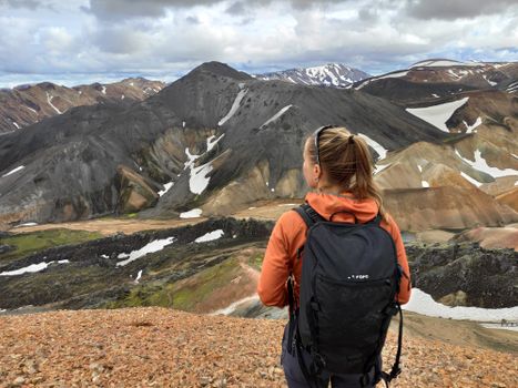 Highlands Hiking: Small Group Landmannalaugar Hike & Hot Springs - Without transferfrom 16.500 ISK · 5 h
 Bus transfer from Landmannalaugar to Hella / Reykjavikfrom 12.220 ISK · 4 h
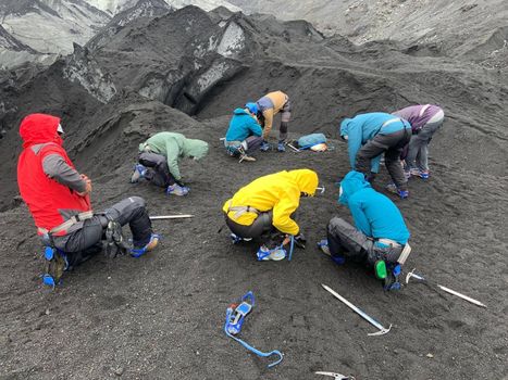 Solheimajokull Glacier Guided Hiking Small Group Tourfrom 12.299 ISK · 3 h
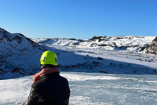 Glacier Hike Experience on Sólheimajökull Glacier - Meet on locationfrom 15.990 ISK · 3 h
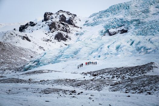 Glacier Hiking Tour - Icelandic Local Guidefrom 38.900 ISK · 10 h
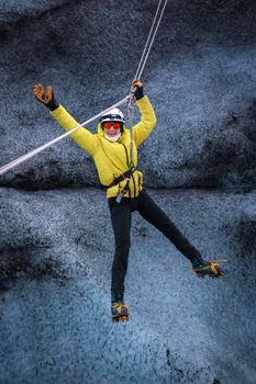 The Zip Line + Glacier Hike Adventurefrom 45.000 ISK · 4 h
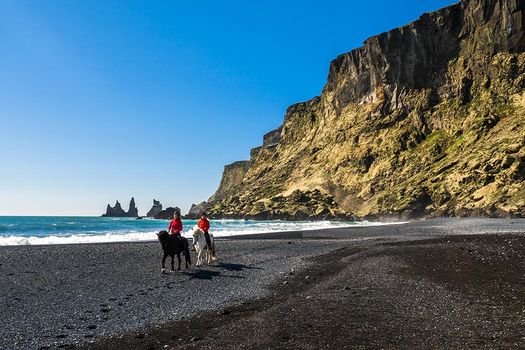 Glacier Hike & Horse Riding in South Icelandfrom 25.990 ISK · 6 h
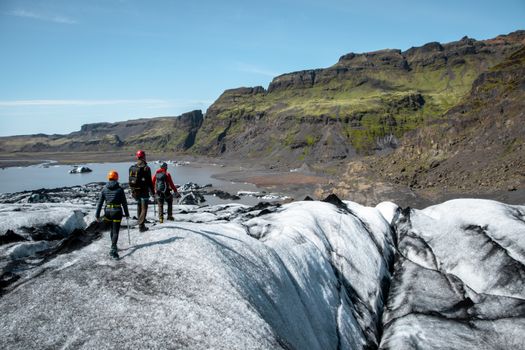 Glacier Hike | Micro group (6 max) | Sólheimajökull | Víkfrom 30.000 ISK · 4 h
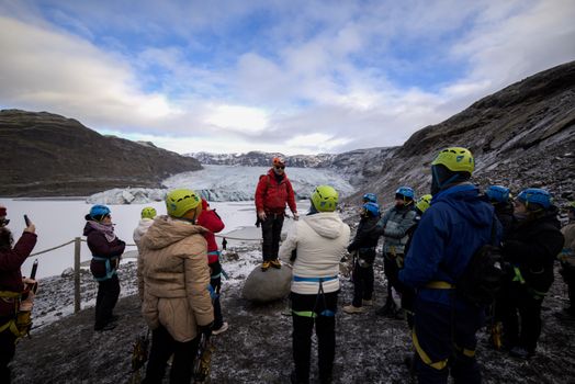 Glacier Hike Experience on Sólheimajökull. Meet on locationfrom 16.990 ISK · 3 h 30 min
 Solheimajokull Ice Climbing & Glacier Hikefrom 31.381 ISK · 4 h
 Early Bird Ice Cavefrom 25.000 ISK · 3 h 30 min
 Laugarás Lagoon Birki - Premium Lagoonfrom 9.900 ISK · 2 hAll 1,648 toursBy activity and region
Is F232 open right now?
Live from Vegagerðin, the authority that opens and closes this road. Every other highland road is on the live F-road map.
1 highland road reported · 1 not reported · Vegagerðin, updated 2 min ago
| F-road | Status now | Vegagerðin's wording |
|---|---|---|
| F232 Öldufellsleið | Not reported | Óþekkt |
F232 typically opens Late July and closes Early September — always confirm on road.is before you drive.
Öldufellsleið weather and conditions
Last updated

Cars & campers
 KEF airport pickup 24/74.8
 Transmission
 Fuel
Fuel Seats
Seats Drive
Drive

 Sleeps
Photos & videos
Nearby
km column = your drive
- 1Álftavatnskrókur4 km
- 2
 Fjallabaksleið syðri20 km
 - 3Eldgjárvegur23 km
- 4
 Landmannalaugavegur24 km
 - 5
 Fjallabaksleið nyrðri28 km

 Waterfalls
 Hot springs
- 1Strútslaug16 km
- 2Geothermal hot spring near Rangárþing ytra26 km
- 3Hot Spring Shower27 km

 Fuel
Fuel
- 1
 Vík í Mýrdal35 km · 309.9 kr/L
 - 2Kirkjubæjarklaustur45 km · 310.9 kr/L
- 3
 Hrauneyjar54 km · 315.8 kr/L
 Supermarkets


 Tours
Tours
 Adrenaline Combo: Off-Road Buggy & Mega Zipline Experiencefrom 29.300 ISK · 3 hours
  Buggy Adventure in Þórsmörkfrom 89.990 ISK · 5 hours
 - Bus transfer from Landmannalaugar to Hella / Reykjavikfrom 12.220 ISK · 4 hours
Frequently
asked
questions
What car do I need for F232 (Öldufellsleið)?
Can I drive F232 in a 2WD rental car?
When is F232 open?
Is there a river crossing on F232?
What does F232 connect to?
Data & sources
Everything on this page comes from the sources below. Live feeds refresh automatically.
 VegagerðinVisitor access & practical facts
 VegagerðinLive road status & cameras · Icelandic Road Administration
 Open-MeteoWeather forecast · CC BY 4.0
 NOAA SWPCAurora (planetary Kp) forecast · public domain
 OpenStreetMapInteractive-map data · ODbL
 Esri, Maxar & Earthstar GeographicsSatellite imagery for the 3D terrain render · GIS User Community
Spotted an error, or have something to add? Help us keep this page accurate.