





 Road
Road  Weather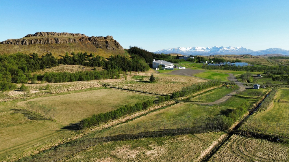


About
Varmaland sits on a small peninsula between the Hvítá and Norðurá rivers, near a geothermal area outside the village in west Iceland. It's a spacious, family-focused site with a public swimming pool right beside it and Hotel Varmaland's restaurant 400 metres away. Minimum age is 25. Open mid-May to the end of August.
Varmaland occupies a small peninsula between two rivers, the Hvítá and the Norðurá, close to the geothermal ground at Stafholtstungur. It's a roomy, calm site aimed squarely at families, with open grass, playground gear and space for outdoor games. A short scramble up the rocky hill above rewards you with views across the Borgarfjörður region. The public swimming pool sits right next door, open through the summer, and Hotel Varmaland is 400 metres off if you fancy a restaurant meal or a drink on the terrace. Borgarnes is close by for supermarkets, fuel and other services. This is a deliberately quiet place — driving inside the site is kept to a minimum, and the minimum age to stay is 25. The season runs from mid-May to the end of August.
Book ahead in summer, especially near popular spots. Campsites fill up by late afternoon.
Map of Varmaland
64.6911°N, 21.5954°W · West Iceland
Plan your visit
 Season
- Open: 15. May - 31. Aug
 Walk-ins
- Accepted — first-come, first-served
 Advance booking
- Available — book online
 Getting there
- Road 50 (Baulan-Þverá)
 Off the main road
- 1.7 km from Route 50
 Nearest town
- Bifröst — 8.6 km away
 Distance from Reykjavík
- 63 km in a straight line
 What else is close
- 159 mapped places within 20 km
Tours near Varmaland
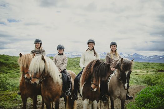 1,5h Trail Ride for All Levelsfrom 16.500 ISK · 1 h 30 min
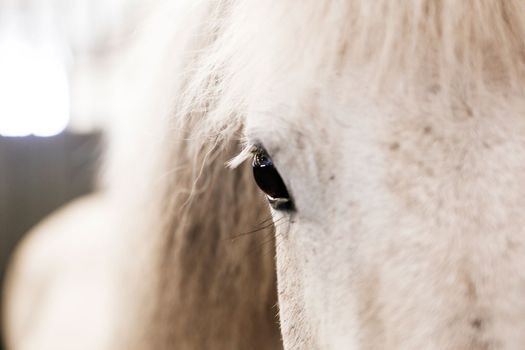 Farm visit to Hestalandfrom 4.500 ISK · 1 h
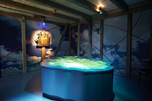 Settlement & Egils Saga Exhibitionfrom 3.700 ISK · 1 h
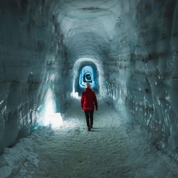 Into The Glacier - From Húsafellfrom 27.900 ISK · 4 h
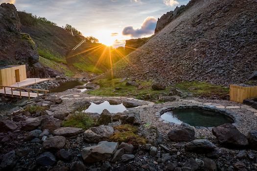 Husafell Canyon Bathsfrom 10.900 ISK · 1 h 45 min
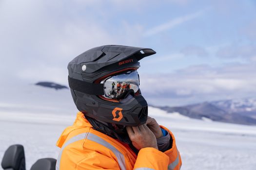 Into The Glacier - With Snowmobiling From Húsafellfrom 36.900 ISK · 4 h 30 min
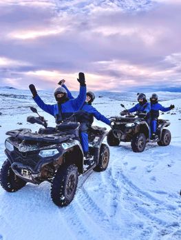 ATV Quad Adventure in Húsafell: Rivers & Mountain Viewsfrom 17.990 ISK · 1 h
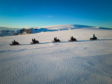 Snowmobile on Langjökull Glacier - Meet us in Husafellfrom 33.490 ISK · 2 h
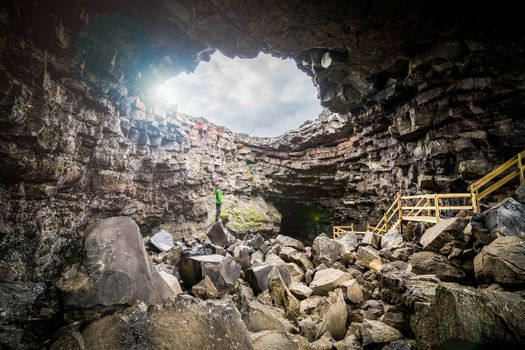 Cave Explorerfrom 9.000 ISK · 1 h 30 minInto The Glacier - From Húsafellfrom 27.900 ISK · 4 hSnowmobile on Langjökull Glacier - Meet us in Husafellfrom 33.490 ISK · 2 h
 Golden Circle and Laugarás Lagoon Lerki Admissionfrom 23.039 ISK · 9 h 30 minAll 1,648 toursBy activity and region
Amenities
 Electricity
 Pets allowed on a leash
 Wi-Fi
Wi-Fi
 Waste disposal for mobile homes
 Cold water
 Hot water
 Toilets
 Dishwashing facilities
 Walking paths
 Playground
 Food service
 Swimming pool
Facilities listed by tjalda.is
Varmaland weather and conditions
Last updated
- Adults (15-66)
- 2,000 ISK
- Children (≤14 years)
- Free
- Senior citizens and the disabled (67+)
- 1,800 ISK
- Electricity
- 1,000 ISK
- Lodging tax
- 400 ISK
Rates via tjalda.is · retrieved 2026-07-17

Cars & campers
 KEF airport pickup 24/74.8
 Transmission
 Fuel
Fuel Seats
Seats Drive
Drive

 Sleeps
Photos & videos
Nearby
km column = your drive
- 1
Hverinn, Kleppjárnsreykjum10 km
- 2
Fossatún11 km
- 3
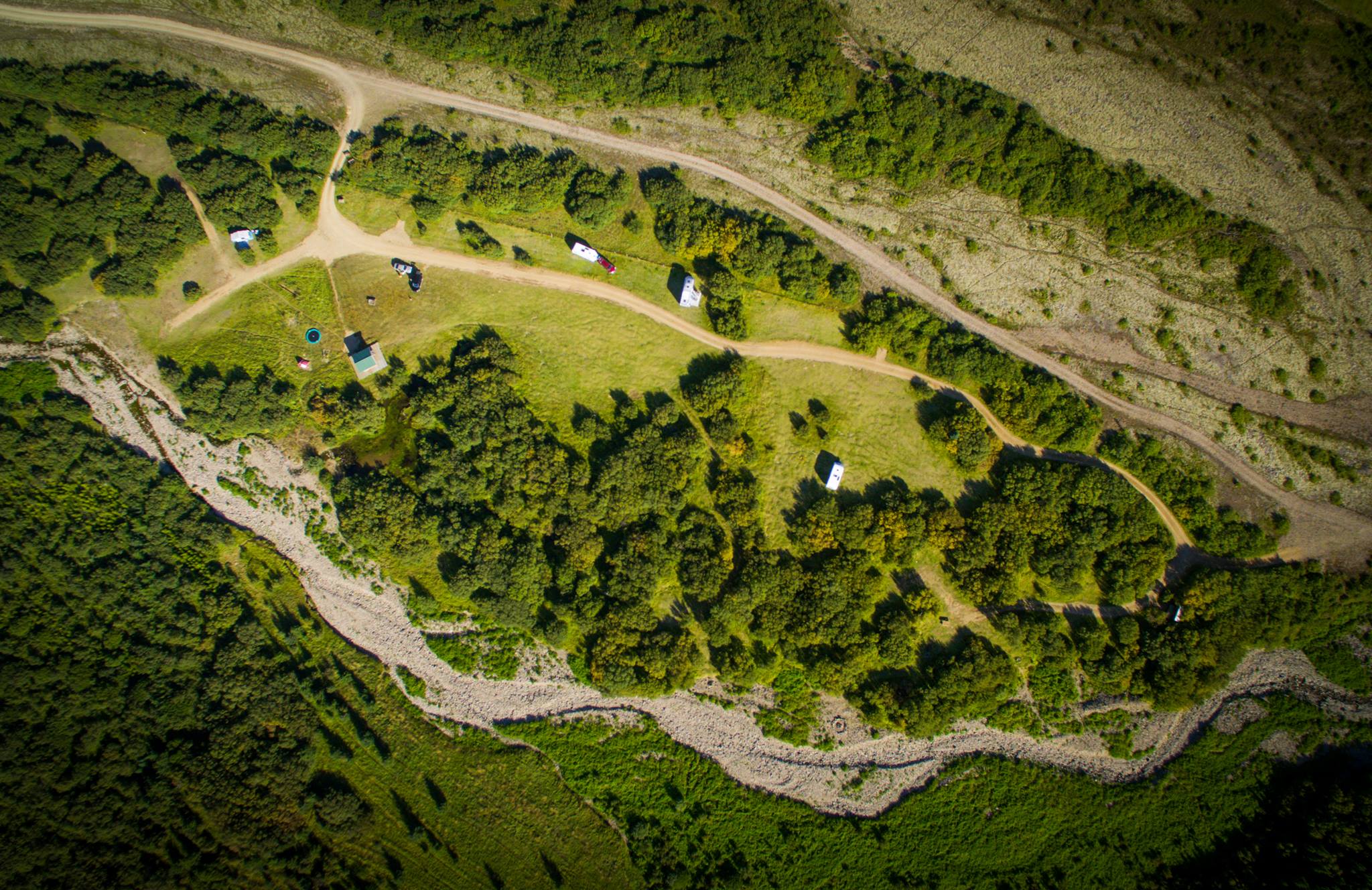 Selskógur, Skorradal18 km
 - 4Selsskógur18 km
- 5
Borgarnes22 km

 Waterfalls


 Hot springs
All hot springs →

 Fuel
Fuel
 Supermarkets

 Tours
Tours
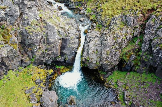 Day Trek to Akrafjall: The Troll's Mountainfrom 17.656 ISK · 6 hours 30 minutes
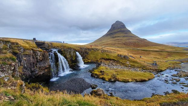 From Grundarfjörður Port: Private Snaefellsness Tourfrom 269.900 ISK · 8 hours
 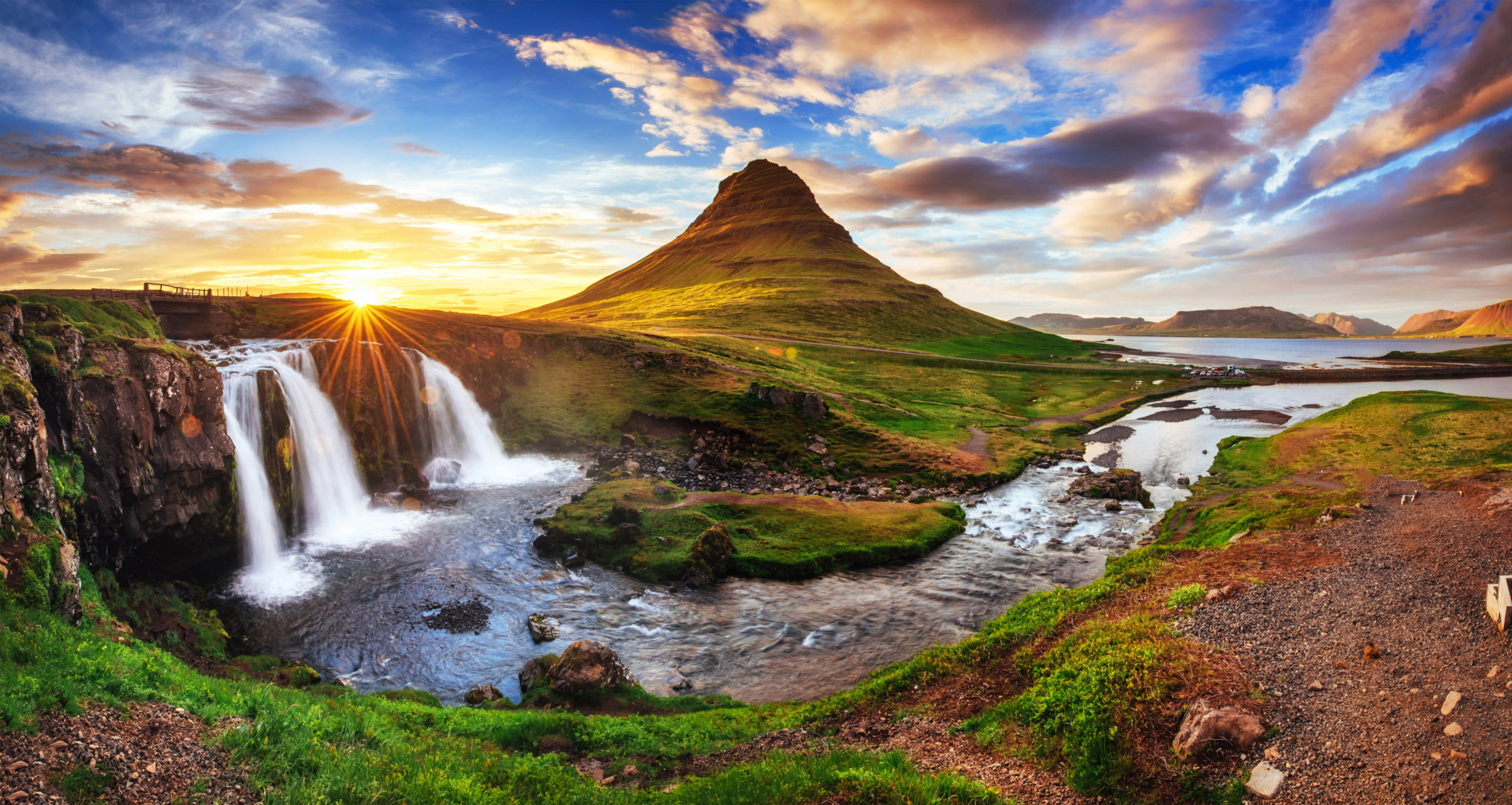 Grundarfjörður Cruise Tour: Snæfellsnes Peninsula from the portfrom 24.500 ISK · 5 hours 30 minutes
Frequently
asked
questions
Can I wild camp near Varmaland instead?
Do I need to book Varmaland in advance?
When is Varmaland open?
What facilities does Varmaland have?
Data & sources
Everything on this page comes from the sources below. Live feeds refresh automatically.
 PhotographyHero & gallery photography · Photo: tjalda.is
 tjalda.isCampsite facts · About text by Map of Iceland (claude-opus-4-8, 2026-07)
 VegagerðinLive road status & cameras · Icelandic Road Administration
 Open-MeteoWeather forecast · CC BY 4.0
 NOAA SWPCAurora (planetary Kp) forecast · public domain
 OpenStreetMapInteractive-map data · ODbL
 Esri, Maxar & Earthstar GeographicsSatellite imagery for the 3D terrain render · GIS User Community
Spotted an error, or have something to add? Help us keep this page accurate.