

 Road
 Weather


About
Laxfoss is a waterfall on the Norðurá river in West Iceland.
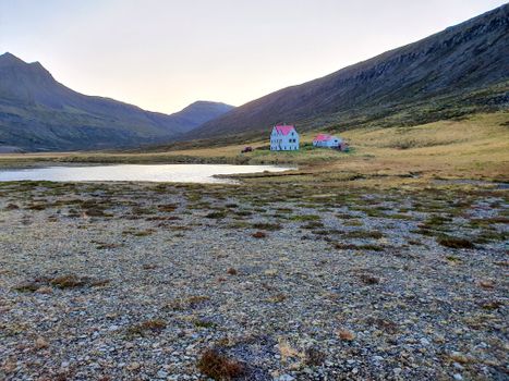
5 km south of the waterfall Glanni. It has a strong salmon run. The waterfall can be reached by a turn-off from the Ring Road, or on foot from Glanni waterfall and Munaðarnes. Plant fossils and lignite (surtarbrandur) are found in the vicinity. A nearby abandoned farm also called Laxfoss was deserted in 1981 — the last farm to be abandoned in Ysta-Tunga — and its house has since been restored and is now used as a summer house.
Translated from Icelandic Wikipedia · CC BY-SA 4.0
Map of Laxfoss
64.7343°N, 21.5748°W · West Iceland
Tours near Laxfoss
 Farm visit to Hestalandfrom 4.500 ISK · 1 h
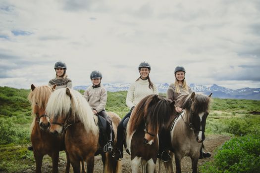 1,5h Trail Ride for All Levelsfrom 16.500 ISK · 1 h 30 min
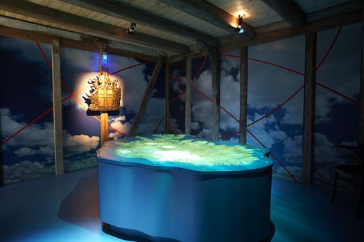 Settlement & Egils Saga Exhibitionfrom 3.700 ISK · 1 h
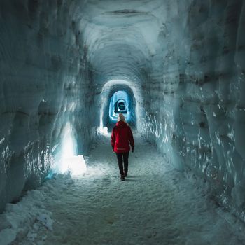 Into The Glacier - From Húsafellfrom 27.900 ISK · 4 h
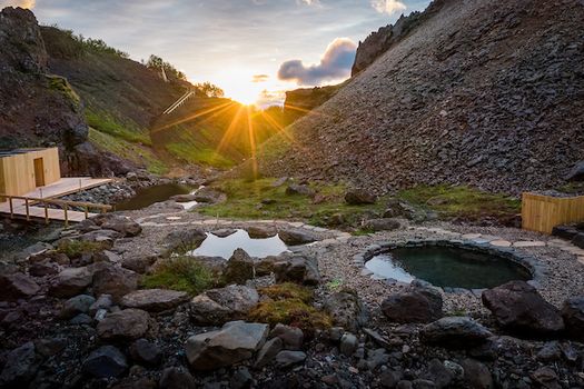 Husafell Canyon Bathsfrom 10.900 ISK · 1 h 45 min
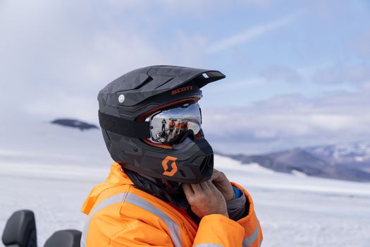 Into The Glacier - With Snowmobiling From Húsafellfrom 36.900 ISK · 4 h 30 min
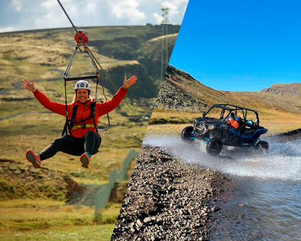
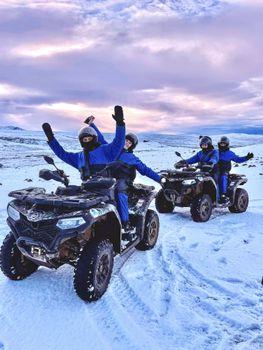 ATV Quad Adventure in Húsafell: Rivers & Mountain Viewsfrom 17.990 ISK · 1 h
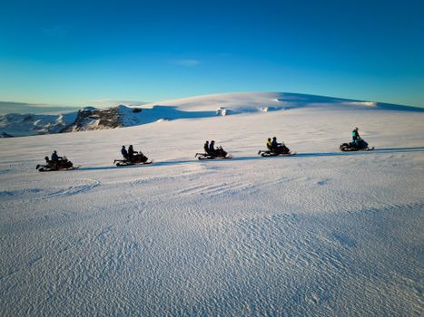 Snowmobile on Langjökull Glacier - Meet us in Husafellfrom 33.490 ISK · 2 h
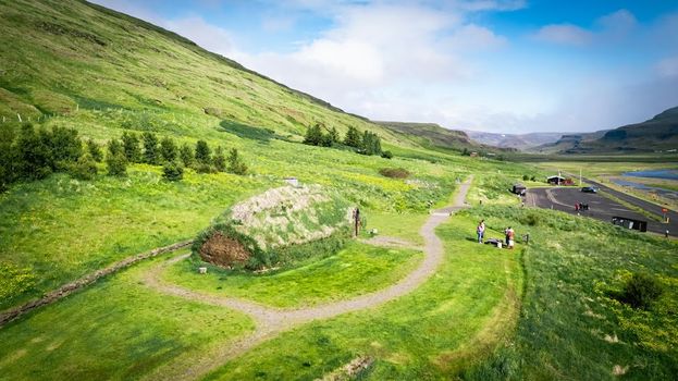 Experience the Settlement Period Farm of Eirik the Red and Leif Eirikssonfrom 2.900 ISK · 1 hInto The Glacier - From Húsafellfrom 27.900 ISK · 4 hSnowmobile on Langjökull Glacier - Meet us in Husafellfrom 33.490 ISK · 2 h
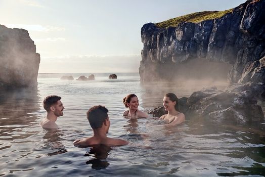 South Coast & Sky Lagoon Sér Pass Tourfrom 32.590 ISK · 13 hAll 1,631 toursBy activity and region
Laxfoss weather and conditions
Last updated

Cars & campers
 KEF airport pickup 24/74.8

 Transmission
 Fuel
 Seats
 Drive


 Sleeps
Photos & videos
No verified videos yet — we only show footage confirmed to be Laxfoss, no lookalikes. Search YouTube
Nearby
km column = your drive
- 1
 Glanni3 km
- 2Klettsfoss10 km
- 3Maríuerlufoss12 km
- 4Neðstifoss12 km
- 5Hundsfoss13 km

 Hot springs
All hot springs →

 Fuel

 Supermarkets


 Tours
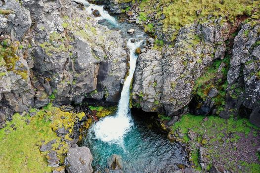 Day Trek to Akrafjall: The Troll's Mountainfrom 17.587 ISK · 6 hours 30 minutes
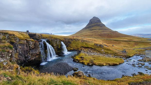 From Grundarfjörður Port: Private Snaefellsness Tourfrom 269.900 ISK · 8 hours
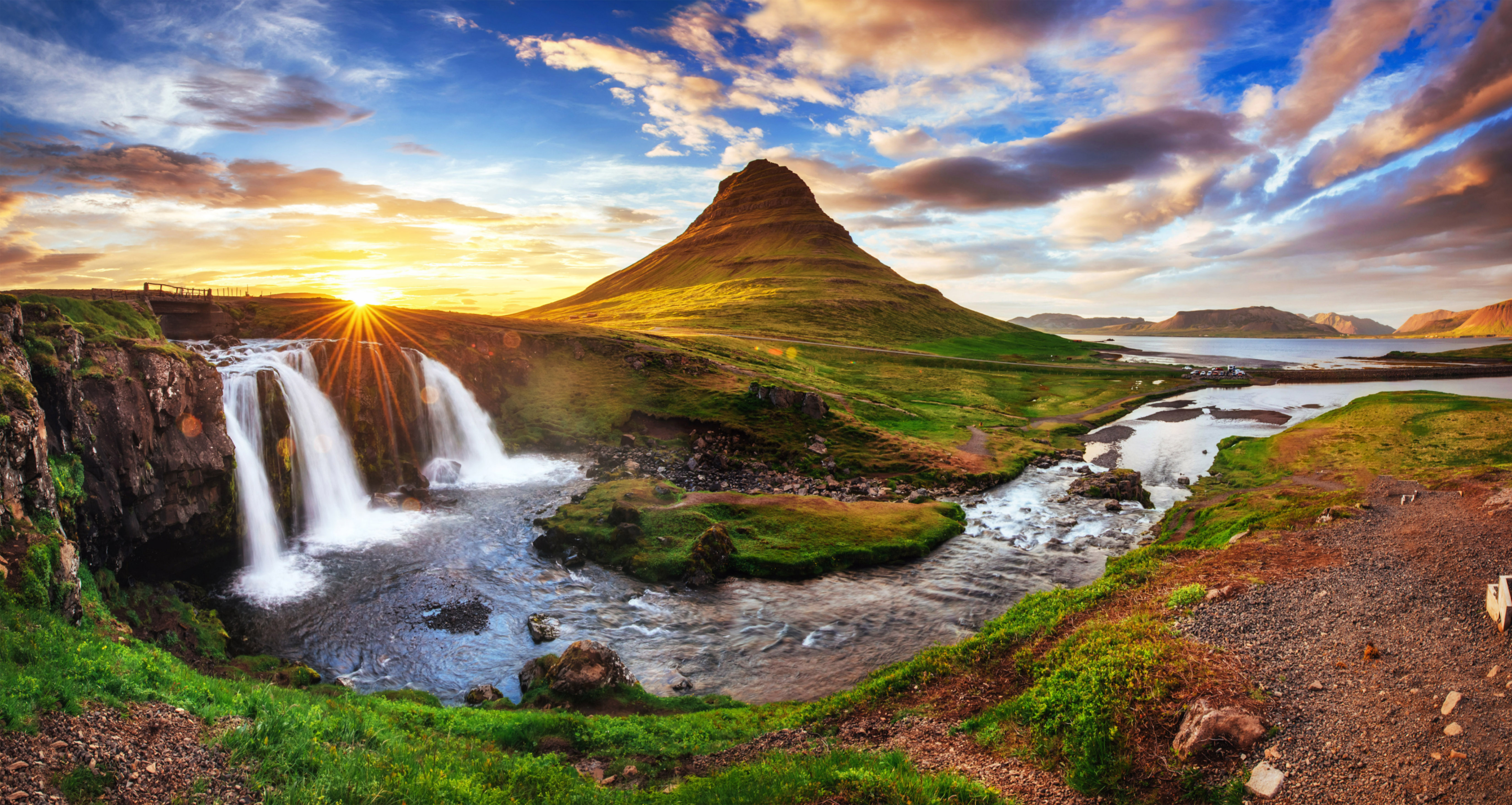 Grundarfjörður Cruise Tour: Snæfellsnes Peninsula from the portfrom 24.500 ISK · 5 hours 30 minutes
Frequently
asked
questions
How do I get to Laxfoss?
Is Laxfoss free to visit?
What is the best time to visit Laxfoss?
Data & sources
Everything on this page comes from the sources below. Live feeds refresh automatically.
 PhotographyHero & gallery photography · Bromr · CC BY-SA 3.0
 Icelandic WikipediaEncyclopedic description · CC BY-SA 4.0
 VegagerðinLive road status & cameras · Icelandic Road Administration
 Open-MeteoWeather forecast · CC BY 4.0
 NOAA SWPCAurora (planetary Kp) forecast · public domain
 OpenStreetMapInteractive-map data · ODbL
 Esri, Maxar & Earthstar GeographicsSatellite imagery for the 3D terrain render · GIS User Community
Spotted an error, or have something to add? Help us keep this page accurate.