




 Road
Road  Weather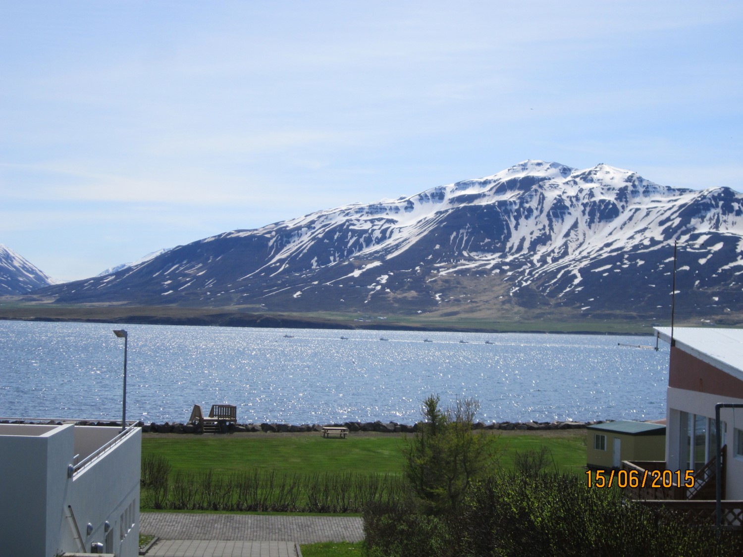


About
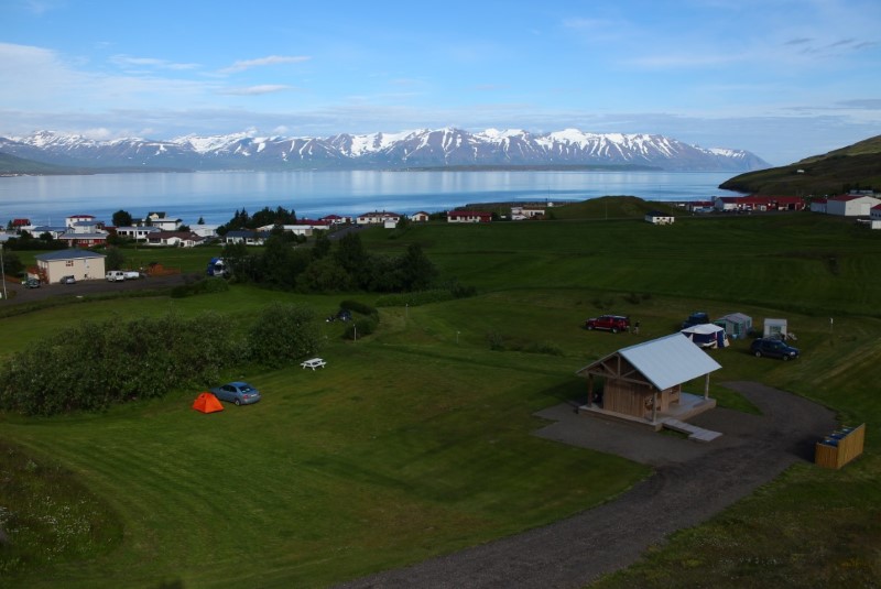
Hrísey's campsite sits in the centre of the village on the island of Hrísey, north Iceland, close to the sea. There's a shoreline good for sea swimming and a pool in the sports centre next door. The pool staff run the site and take payment during pool hours.
On the island of Hrísey, the campsite sits right in the village centre, close to the sea. That opens up two kinds of swimming — a stretch of shore fit for a sea dip, and the swimming pool in the sports centre nearby. A playground is close at hand. The site is run by the swimming pool staff, who take payment for stays, so there's no separate warden outside pool opening hours. Worth keeping in mind if you're arriving late. The campsite's own washing facilities — showers, toilets, hot and cold water — are on the sports centre's first floor. There's electricity and food service too.
Book ahead in summer, especially near popular spots. Campsites fill up by late afternoon.
Map of Hrísey
65.9784°N, 18.3730°W · North Iceland
Plan your visit
 Walk-ins
- Not accepted — book ahead
 Advance booking
- Not offered
 Off the main road
- 4.6 km from Route 82
 Nearest town
- Hrísey — 0.2 km away
 Distance from Reykjavík
- 264 km in a straight line
 What else is close
- 170 mapped places within 20 km
Tours near Hrísey
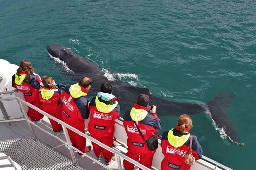 Akureyri Classic Whale Watchingfrom 14.500 ISK · 3 h
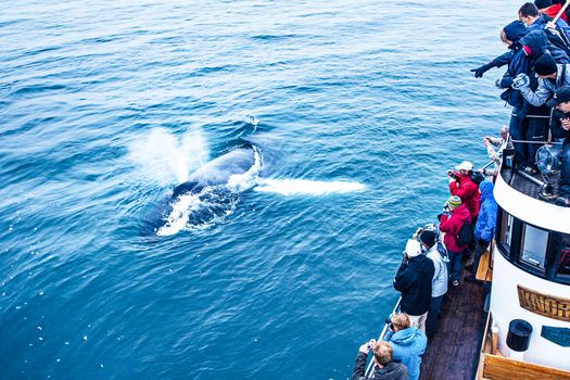 Whale Watching Eyjafjörður: From Árskógssandurfrom 12.990 ISK · 2 h 30 min
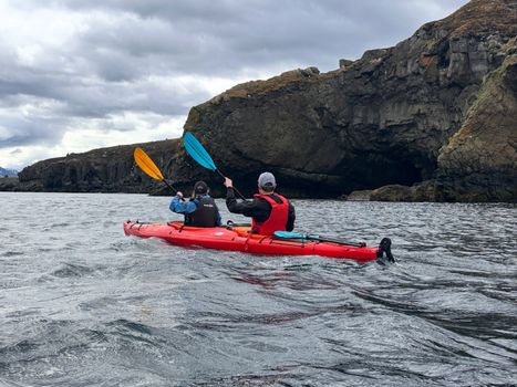 Guided Kayak Tour in Árskógssandur: Explore Coastline & Wildlifefrom 18.900 ISK · 2 h
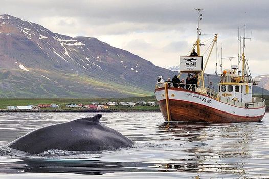 Whale Watching and Sea Angling Tourfrom 12.700 ISK · 3 h
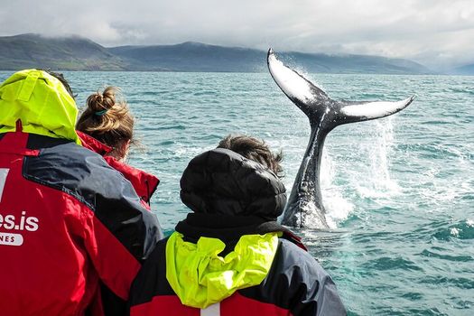 Whale Watching Originalfrom 12.700 ISK · 2 h 30 min
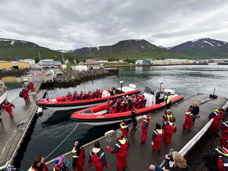 Express Whale Watching From Dalvíkfrom 19.775 ISK · 2 h
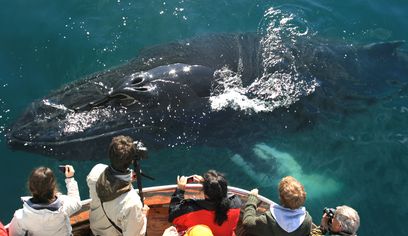 Classic Whale Watching from Dalvíkfrom 10.990 ISK · 3 h
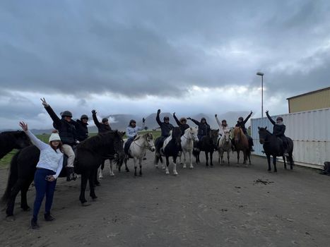 Horse Riding Tour and Explore Scenery in Gásir Akureyrifrom 12.000 ISK · 1 h
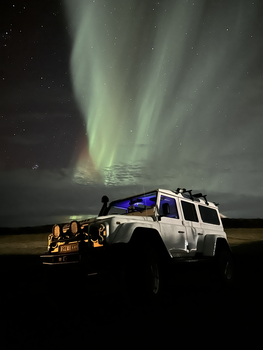 Northern Lights 4x4 Tour from Akureyrifrom 34.799 ISK · 2 h 30 minNorthern Lights 4x4 Tour from Akureyrifrom 34.799 ISK · 2 h 30 min
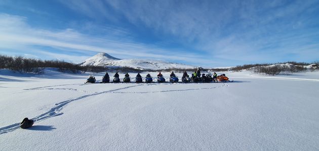 Lake Mývatn & Snowmobile Tour from Akureyrifrom 59.900 ISK · 9 h
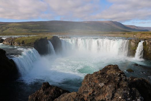 Goðafoss and the Forest Lagoonfrom 26.400 ISK · 4 hAll 1,648 toursBy activity and region
Amenities
 Electricity
 Shower
 Toilets
 Walking paths
 Playground
 Food service
 Swimming pool
Facilities listed by tjalda.is
Hrísey weather and conditions
Last updated
- Adults
- 1,500 ISK
- Seniors and the disabled
- 1,200 ISK
- Electricity
- 1,000 ISK
- Free for 17 years and younger
Rates via tjalda.is · retrieved 2026-07-17

Cars & campers
 KEF airport pickup 24/74.8
 Transmission
 Fuel
Fuel Seats
Seats Drive
Drive

 Sleeps
Photos & videos
Nearby
km column = your drive
- 1Tjaldsvæði Hríseyjar< 1 km
- 2
Dalvík7 km
- 3
Hauganes, Dalvíkurbyggð7 km
- 4Tjaldsvæði Hauganesi7 km
- 5
 Grenivík10 km

 Waterfalls

 Hot springs
- 1Geothermal hot spring near Akureyrarbær< 1 km
- 2Hauganes Hot Tubs6 km
- 3Natural hot pot near Dalvík8 km

 Fuel
Fuel
 Supermarkets


 Tours
Tours
 (Cruise Ships) Lake Mývatn and Goðafossfrom 25.300 ISK · 6 hours 30 minutes
 (RS) Lake Myvatn & Godafoss Waterfall Day Tour from Akureyrifrom 25.900 ISK · 6 hours
 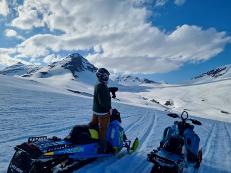 Adventure snowmobile tour Akureyrifrom 166.750 ISK · 5 hours
Frequently
asked
questions
Can I wild camp near Hrísey instead?
Do I need to book Hrísey in advance?
When is Hrísey open?
What facilities does Hrísey have?
Data & sources
Everything on this page comes from the sources below. Live feeds refresh automatically.
 PhotographyHero & gallery photography · Photo: tjalda.is
 tjalda.isCampsite facts · About text by Map of Iceland (claude-opus-4-8, 2026-07)
 VegagerðinLive road status & cameras · Icelandic Road Administration
 Open-MeteoWeather forecast · CC BY 4.0
 NOAA SWPCAurora (planetary Kp) forecast · public domain
 OpenStreetMapInteractive-map data · ODbL
 Esri, Maxar & Earthstar GeographicsSatellite imagery for the 3D terrain render · GIS User Community
Spotted an error, or have something to add? Help us keep this page accurate.