





 Road
Road  Weather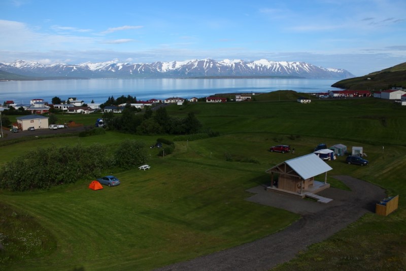


About
Grenivík campsite, renovated in 2011, has wheelchair-accessible facilities and lets children under 16 stay free. No booking — just arrive and pick a spot. The village pool just south has a 39°C hot tub, wading pool and cold plunge, plus views over Kaldbakur and Eyjafjörður. Open June until the ground freezes.
Grenivík's site was done up in 2011 and keeps things easy: no reservations, just turn up and choose your pitch, with wheelchair-accessible amenities, electricity and hot showers. Children under 16 stay free. The real bonus is just south — the village swimming pool. The outdoor pool dates from 1990, but a 2020 addition added a warm hot tub at 39°C, a shallow pool for wading at 37°C and a cold plunge, with big views over the village, Kaldbakur mountain and Eyjafjörður. There's a football field, jumping pillow and playground for families, and the village has a restaurant, grocery, fuel station and bank. The Fisheries Heritage Museum opens in summer, and hiking trails nearby make this a handy North Iceland base. Open from 1 June until the ground freezes.
Wild camping rules have tightened. Use designated campsites to stay on the right side of the law.
Map of Grenivík
65.9491°N, 18.1736°W · North Iceland
Plan your visit
 Season
- 1st of June until the ground freezes. Please note: closed on June 13th until noon on June 14th.
 Walk-ins
- Accepted — first-come, first-served
 Advance booking
- Not offered
 Getting there
- Road 83 (Svalbstr-Grenivík)
 Off the main road
- 0.2 km from Route 83
 Nearest town
- Grenivík — 1.3 km away
 Distance from Reykjavík
- 267 km in a straight line
 What else is close
- 95 mapped places within 20 km
Tours near Grenivík
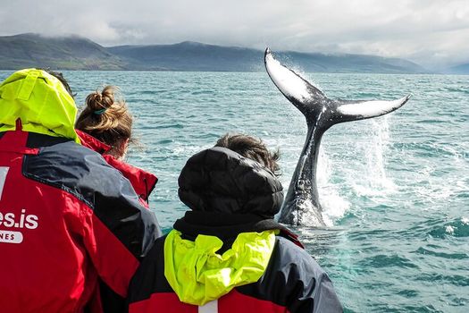 Whale Watching Originalfrom 12.700 ISK · 2 h 30 min
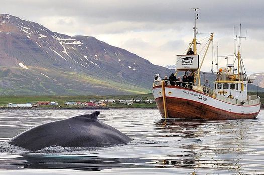 Whale Watching and Sea Angling Tourfrom 12.700 ISK · 3 h
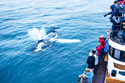 Whale Watching Eyjafjörður: From Árskógssandurfrom 12.990 ISK · 2 h 30 min
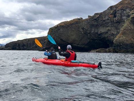 Guided Kayak Tour in Árskógssandur: Explore Coastline & Wildlifefrom 18.900 ISK · 2 h
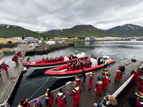 Express Whale Watching From Dalvíkfrom 19.775 ISK · 2 h
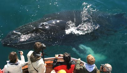 Classic Whale Watching from Dalvíkfrom 10.990 ISK · 3 h
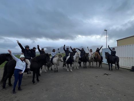 Horse Riding Tour and Explore Scenery in Gásir Akureyrifrom 12.000 ISK · 1 h
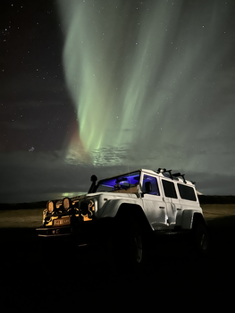 Northern Lights 4x4 Tour from Akureyrifrom 34.799 ISK · 2 h 30 min
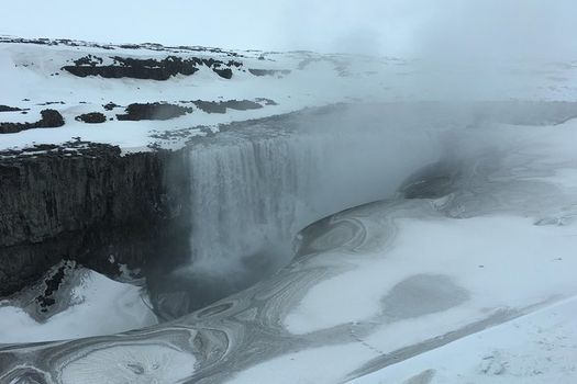 Lake Myvatn, Dettifoss,Selfoss, Godafoss & morefrom 29.900 ISK · 9 h 30 minNorthern Lights 4x4 Tour from Akureyrifrom 34.799 ISK · 2 h 30 min
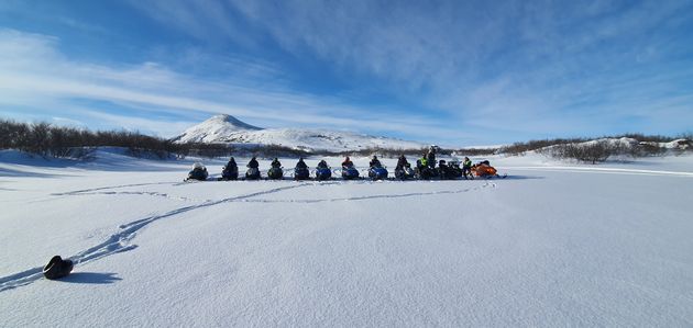 Lake Mývatn & Snowmobile Tour from Akureyrifrom 59.900 ISK · 9 h
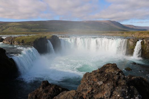 Goðafoss and the Forest Lagoonfrom 26.400 ISK · 4 hAll 1,648 toursBy activity and region
Amenities
 Electricity
 Pets allowed on a leash
 Wi-Fi
Wi-Fi Free for children
 Shower
 Cold water
 Hot water
 Toilets
 Walking paths
Facilities listed by tjalda.is
Grenivík weather and conditions
Last updated
- Adults
- 1,800 ISK per person / night
- Senior citizens and people with disabilities
- 900 ISK per person / night
- Children 15 years and younger (≤15 years)
- Free
- Electricity
- 1,200 ISK per night
- Lodging tax
- 400 ISK per unit / night
- Every third night is free.
Rates via tjalda.is · retrieved 2026-07-17

Cars & campers
 KEF airport pickup 24/74.8
 Transmission
 Fuel
Fuel Seats
Seats Drive
Drive

 Sleeps
Photos & videos
Nearby
km column = your drive
- 1
Ártún7 km
- 2
Hauganes, Dalvíkurbyggð7 km
- 3Tjaldsvæði Hauganesi7 km
- 4
Hrísey10 km
- 5Tjaldsvæði Hríseyjar10 km

 Waterfalls

 Hot springs
- 1Geothermal hot spring near Grýtubakkahreppur< 1 km
- 2Geothermal hot spring near Dalvíkurbyggð8 km
- 3Hjalteyri Hot Tub8 km

 Fuel
Fuel

 Supermarkets


 Tours
Tours
 (Cruise Ships) Lake Mývatn and Goðafossfrom 25.300 ISK · 6 hours 30 minutes
 (RS) Lake Myvatn & Godafoss Waterfall Day Tour from Akureyrifrom 25.900 ISK · 6 hours
 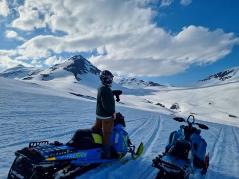 Adventure snowmobile tour Akureyrifrom 166.750 ISK · 5 hours
Frequently
asked
questions
Can I wild camp near Grenivík instead?
Do I need to book Grenivík in advance?
When is Grenivík open?
What facilities does Grenivík have?
How much does Grenivík cost?
Data & sources
Everything on this page comes from the sources below. Live feeds refresh automatically.
 PhotographyHero & gallery photography · Photo: tjalda.is
 tjalda.isCampsite facts · About text by Map of Iceland (claude-opus-4-8, 2026-07)
 VegagerðinLive road status & cameras · Icelandic Road Administration
 Open-MeteoWeather forecast · CC BY 4.0
 NOAA SWPCAurora (planetary Kp) forecast · public domain
 OpenStreetMapInteractive-map data · ODbL
 Esri, Maxar & Earthstar GeographicsSatellite imagery for the 3D terrain render · GIS User Community
Spotted an error, or have something to add? Help us keep this page accurate.