




 Road
Road  Weather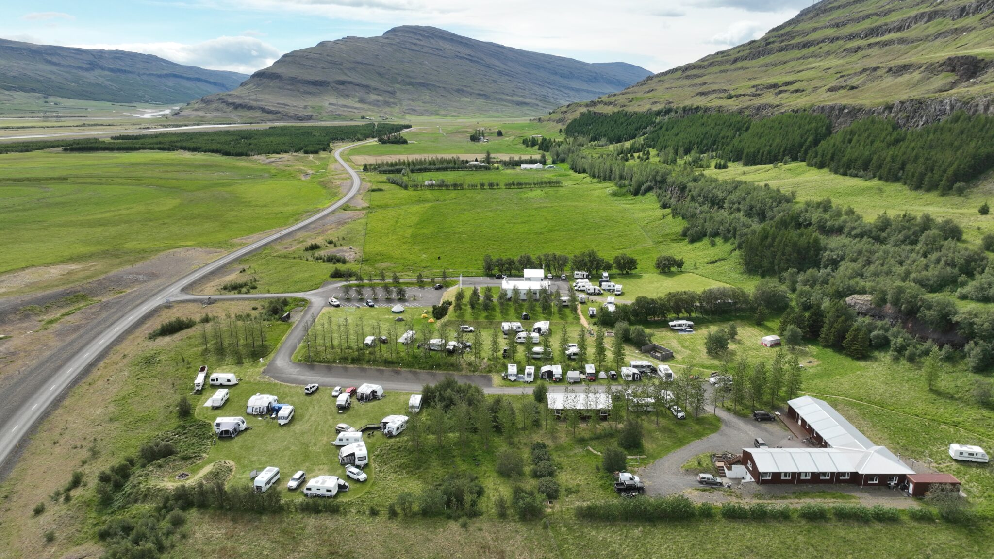


About
Hengifoss Campsite sits in Fljótsdalur, east Iceland, 7 km from the Hengifoss waterfall — Iceland's third-highest at 128 metres. It's the last site before the Highlands from this valley, open all year, with EV charging and free Wi-Fi. Children stay free.
Hengifoss Campsite marks the last stop in Fljótsdalur before the road climbs into the Highlands. It sits beside the Végarður community centre and Fljótsdalsgrund Guesthouse, roughly 7 km from the waterfall it's named after — Hengifoss, the country's third-highest at 128 metres, known for the red clay bands in the cliffs around it. The site stays open all year and covers the essentials: hot showers, electricity, free Wi-Fi, chemical-toilet disposal, and a charging point for electric cars. There's no charge for children. It sits at the end of the Tröllkonustígur trail, and the walk up to Hengifoss also passes Litlanesfoss and its basalt columns. Hallormsstaðaskógur, described as Iceland's largest forest, is a short drive away.
Book ahead in summer, especially near popular spots. Campsites fill up by late afternoon.
Map of Hengifoss
65.0252°N, 14.9713°W · East Iceland
Plan your visit
 Season
- Open all year
 Walk-ins
- Accepted — first-come, first-served
 Advance booking
- Available
 Getting there
- Road 933 (Fljótsdalur)
 Off the main road
- 17.2 km from Route 95
 Nearest town
- Reyðarfjörður — 35.3 km away
 Distance from Reykjavík
- 347 km in a straight line
 What else is close
- 89 mapped places within 20 km
Tours near Hengifoss
 Museumfrom 3.000 ISK · 1 h
 Wonders of the Wilderness - Summerfrom 61.000 ISK · 10 h
 Relax - The essential Vök Baths experiencefrom 7.690 ISK · 1 h 30 min
 Abandoned Fjords Super Jeep Tourfrom 42.000 ISK · 5 h
 Mjóifjörður Super Jeep Tour - Eskifjörðurfrom 42.000 ISK · 5 h
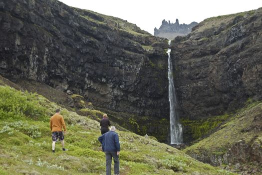 Valleys and Waterfallsfrom 42.000 ISK · 5 h
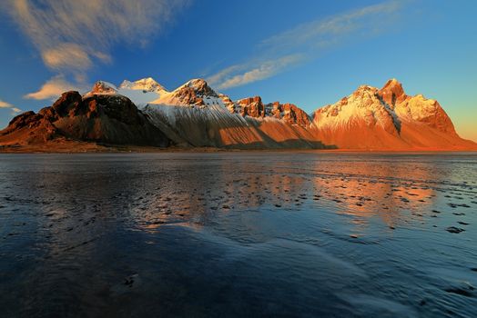 Djúpivogur: Jökulsárlón & Diamond Beach Cruise Tourfrom 29.550 ISK · 6 h 30 min
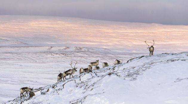 Wild Reindeer Experiencefrom 36.500 ISK · 4 h
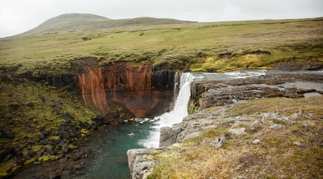 Wonders of the Wilderness - Seyðisfjörðurfrom 61.000 ISK · 10 h
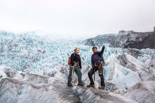 Skaftafell 5-Hours Adventure Glacier Hikefrom 20.775 ISK · 5 h
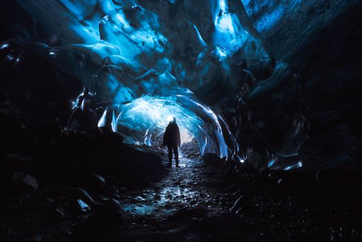 Skaftafell Blue Ice Cave and Glacier Walk Tourfrom 19.999 ISK · 3 h
 Northern Lights Chase from Glacier Lagoonfrom 25.000 ISK · 5 hAll 1,648 toursBy activity and region
Amenities
 Electricity
 Pets allowed on a leash
 Wi-Fi
Wi-Fi Charging for electric car
 Free for children
 Waste disposal for mobile homes
 Shower
 Cold water
 Hot water
 Toilets
 Walking paths
 Playground
 Open all year
Facilities listed by tjalda.is
Hengifoss weather and conditions
Last updated
- Adults
- 2,800 ISK per person / night
- Senior citizens and people with disabilities
- 2,000 ISK per person / night
- Children 14 years and younger (≤14 years)
- Free
- Electricity
- 2,000 ISK
Rates via tjalda.is · retrieved 2026-07-17

Cars & campers
 KEF airport pickup 24/74.8
 Transmission
 Fuel
Fuel Seats
Seats Drive
Drive

 Sleeps
Photos & videos
Nearby
km column = your drive
- 1
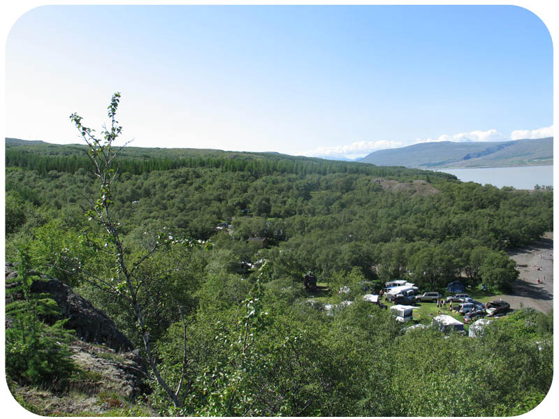 Hallormsstaður Atlavík12 km
 - 2
Hallormsstaður Höfðavík14 km
- 3Höfðavík14 km
- 4Camping Mjóanes21 km
- 5
Sandfellsskógur23 km

 Waterfalls

 Hot springs

 Fuel
Fuel
- 1Hallormsstaður13 km · 308.6 kr/L
- 2Skjöldólfsstaðir33 km · 308.6 kr/L
- 3
 Reyðarfjörður35 km · 308.7 kr/L
 Supermarkets


 Tours
Tours
- Abandoned Fjords Super Jeep Tourfrom 42.000 ISK · 5 hours
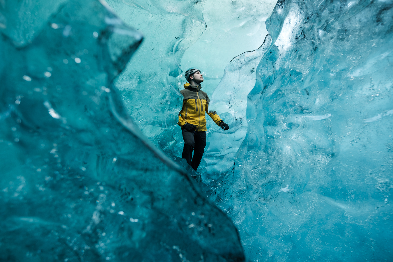 Blue Ice Discoveryfrom 24.900 ISK · 4 hours
 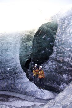 Breidamerkurjökull Glacier Hikefrom 15.377 ISK · 3 hours
Frequently
asked
questions
Can I wild camp near Hengifoss instead?
Do I need to book Hengifoss in advance?
When is Hengifoss open?
What facilities does Hengifoss have?
How much does Hengifoss cost?
Data & sources
Everything on this page comes from the sources below. Live feeds refresh automatically.
 PhotographyHero & gallery photography · Photo: tjalda.is
 tjalda.isCampsite facts · About text by Map of Iceland (claude-opus-4-8, 2026-07)
 VegagerðinLive road status & cameras · Icelandic Road Administration
 Open-MeteoWeather forecast · CC BY 4.0
 NOAA SWPCAurora (planetary Kp) forecast · public domain
 OpenStreetMapInteractive-map data · ODbL
 Esri, Maxar & Earthstar GeographicsSatellite imagery for the 3D terrain render · GIS User Community
Spotted an error, or have something to add? Help us keep this page accurate.