





 Road
Road  Weather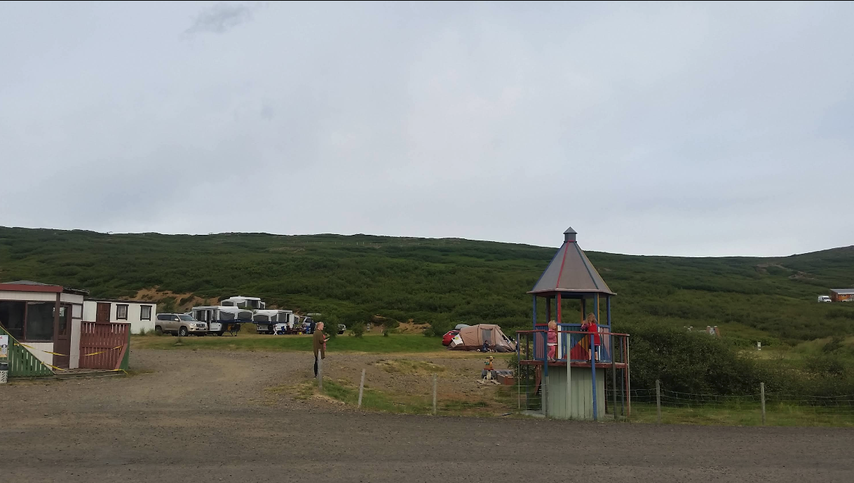


About
Bjarkalundur is a quiet campsite in Reykhólahreppur, in the Westfjords, with level grassy pitches for tents, caravans, and motorhomes. Self-guided hikes and fishing are on the doorstep, and the neighbouring hotel serves breakfast daily. It works as a junction — south to Reykhólar, north to Hólmavík and Ísafjörður. Children stay free.
Bjarkalundur makes a natural crossroads: from here you can head south to Reykhólar or north toward Hólmavík and Ísafjörður. The pitches are level and grassy, taking tents, caravans, and motorhomes alike, with fishing and self-guided walks close by. Facilities cover the basics, and the hotel next door serves breakfast every morning. It's run as a family site — the minimum age is 20 unless you're with a guardian — and there are quiet hours from 23:00 to 08:00. You check in and pay when you arrive. Traffic inside the site is kept to arrivals and departures, capped at 15 km/h, and dogs are welcome as long as they're leashed. The season runs May to September, and children stay free.
Book ahead in summer, especially near popular spots. Campsites fill up by late afternoon.
Map of Bjarkalundur Campsite
65.5560°N, 22.1044°W · Westfjords
Plan your visit
 Season
- Open: 01. May - 30. Sep
 Walk-ins
- Accepted — first-come, first-served
 Advance booking
- Available — book online
 Getting there
- Road 60 (Þorskafjörður)
 Off the main road
- 0.1 km from Route 60
 Nearest town
- Reykhólahreppur — 13.1 km away
 Distance from Reykjavík
- 157 km in a straight line
 What else is close
- 61 mapped places within 20 km
Tours near Bjarkalundur Campsite
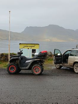 3 Hour Djúpuvík Adventure - ATVfrom 39.000 ISK · 3 h 30 min
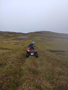 1 Hour Drangsnes Adventure - ATVfrom 18.000 ISK · 1 h 30 min
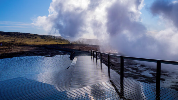 Embark on an exhilarating journey through the Reykjanes Peninsula,from 42.990 ISK · 8 h
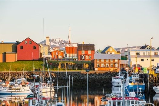 Flatey - Stykkishólmurfrom 4.320 ISK · 1 h 30 min
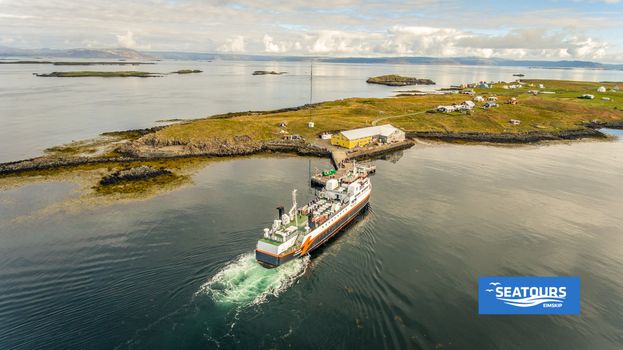 Flatey - Brjánslækurfrom 3.560 ISK · 1 h
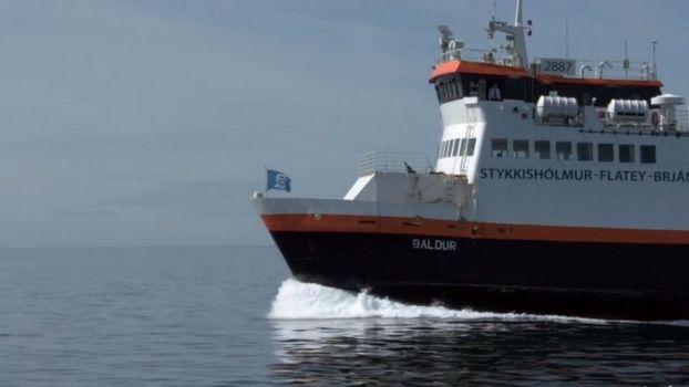 Brjánslækur - Flateyfrom 3.560 ISK · 1 h
 Brjánslækur - Flatey - Stykkishólmurfrom 6.300 ISK · 2 h 30 min
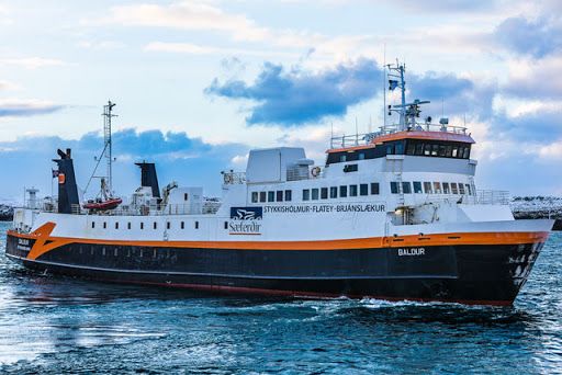 Stykkishólmur - Flateyfrom 4.320 ISK · 1 h 30 min
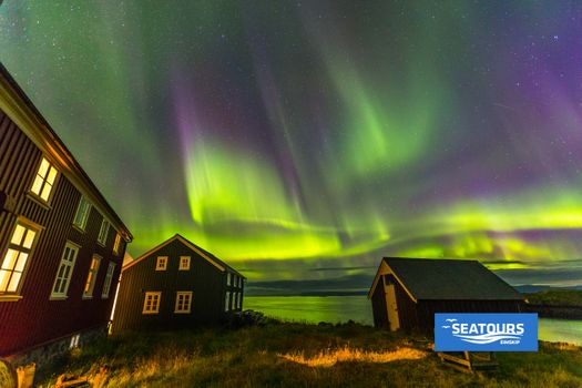 Stykkishólmur - Flatey - Brjánslækurfrom 6.300 ISK · 2 h 30 min
 Blue Ice - Glacier Hike & Ice Climbing from Reykjavíkfrom 32.990 ISK · 13 h 30 min
 Golden Circle and Laugarás Lagoon Lerki Admissionfrom 23.039 ISK · 9 h 30 min
 Spirit of the Aurora (28 person max vehicle)from 14.990 ISK · 5 hAll 1,648 toursBy activity and region
Amenities
 Electricity
 Free for children
 Wi-Fi
Wi-Fi
 Waste disposal for mobile homes
 Shower
 Cold water
 Toilets
 Walking paths
 Playground
 Fishing
 Food service
Facilities listed by tjalda.is
Bjarkalundur Campsite weather and conditions
Last updated
- Children (0–12 years) (0–12 years)
- Free
- Adults (13–66 years) (13–66 years)
- 2,600 ISK
- Seniors (67+)
- 1,500 ISK
- Children (0–12 years) (0–12 years)
- Free
- Adults (13+)
- 3,000 ISK
- Electricity
- 1,500 ISK per unit / night
- Lodging tax
- 400 ISK per unit / night
- Campsite
- Breakfast (served 07:00–10:00)
Rates via tjalda.is · retrieved 2026-07-17

Cars & campers
 KEF airport pickup 24/74.8
 Transmission
 Fuel
Fuel Seats
Seats Drive
Drive

 Sleeps
Photos & videos
No verified videos yet — we only show footage confirmed to be Bjarkalundur Campsite, no lookalikes. Search YouTube
Nearby
km column = your drive
- 1Bjarkarlundur< 1 km
- 2
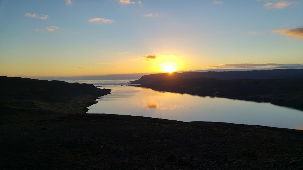 Tjaldsvæðið Djúpadal9 km
 - 3
Hólmavík25 km
- 4Hveravík30 km
- 5
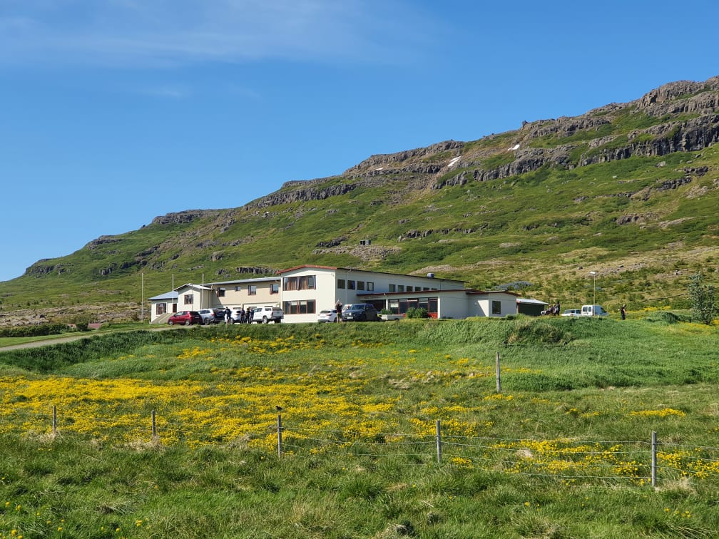 Laugarhóll í Bjarnarfirði37 km

 Waterfalls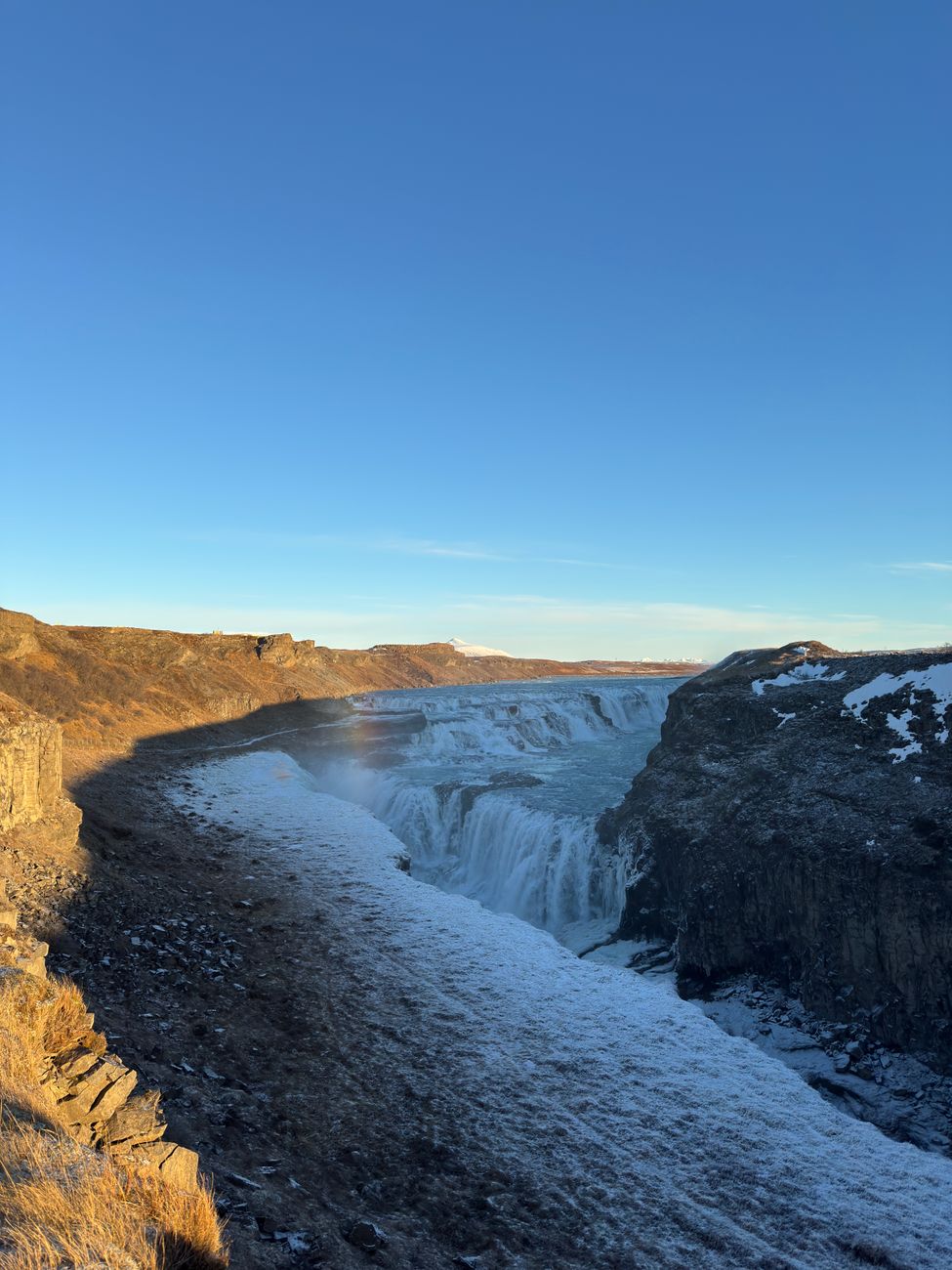


 Hot springs
All hot springs →
 Fuel
Fuel
- 1
 Bjarkalundur< 1 km · 310.9 kr/L
 - 2Reykhólar12 km · 310.9 kr/L
- 3
 Hólmavík25 km · 308.7 kr/L
 Supermarkets
- 1Krambúð25 km
- 2Kaupfélag Steingrímsfjarðar34 km
- 3Kaupfélag Vestur-Húnvetninga56 km

 Tours
Tours
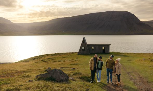 Avoid the crowdsfrom 60.000 ISK · 6 hours
 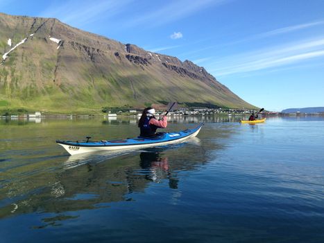 Bike and Kayak Combofrom 27.900 ISK · 7 hours
 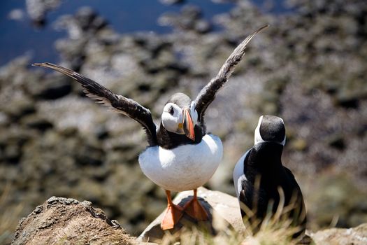 BIRD CLIFFS & BEAUTIFUL BEACHES - bikingfrom 36.800 ISK · 9 hours
Frequently
asked
questions
Can I wild camp near Bjarkalundur Campsite instead?
Do I need to book Bjarkalundur Campsite in advance?
When is Bjarkalundur Campsite open?
What facilities does Bjarkalundur Campsite have?
Data & sources
Everything on this page comes from the sources below. Live feeds refresh automatically.
 PhotographyHero & gallery photography · Photo: tjalda.is
 tjalda.isCampsite facts · About text by Map of Iceland (claude-opus-4-8, 2026-07)
 VegagerðinLive road status & cameras · Icelandic Road Administration
 Open-MeteoWeather forecast · CC BY 4.0
 NOAA SWPCAurora (planetary Kp) forecast · public domain
 OpenStreetMapInteractive-map data · ODbL
 Esri, Maxar & Earthstar GeographicsSatellite imagery for the 3D terrain render · GIS User Community
Spotted an error, or have something to add? Help us keep this page accurate.