



 Road
Road  Weather


Map of Bjarnarfjörður
Map
65.7700°N, 21.4271°W · North Iceland
Plan your visit
 Getting there
- Road 643 (Bjarnarfj.-Djúpav.)
 Off the main road
- 14 km from Route 67
 Nearest town
- Drangsnes — 8.9 km away
 Distance from Reykjavík
- 182 km in a straight line
 What else is close
- 85 mapped places within 20 km
Tours near Bjarnarfjörður
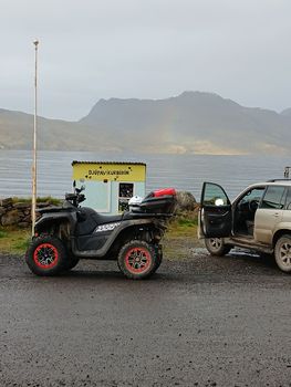 3 Hour Djúpuvík Adventure - ATVfrom 39.000 ISK · 3 h 30 min
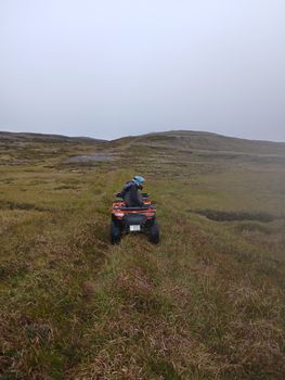 1 Hour Drangsnes Adventure - ATVfrom 18.000 ISK · 1 h 30 min
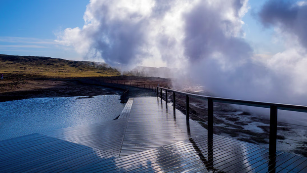 Embark on an exhilarating journey through the Reykjanes Peninsula,from 42.990 ISK · 8 h
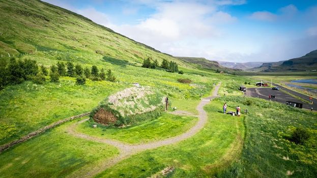 Experience the Settlement Period Farm of Eirik the Red and Leif Eirikssonfrom 2.900 ISK · 1 h
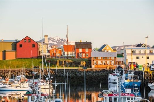 Flatey - Stykkishólmurfrom 4.320 ISK · 1 h 30 min
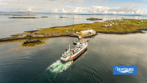 Flatey - Brjánslækurfrom 3.560 ISK · 1 h
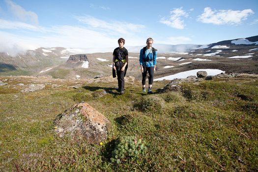 Hornstrandir Panoramafrom 63.100 ISK · 10 h
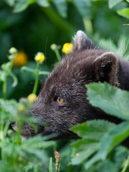 Wildlife and Arctic Foxesfrom 63.100 ISK · 10 h
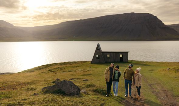 Avoid the crowdsfrom 60.000 ISK · 6 h
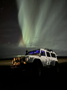 Northern Lights 4x4 Tour from Akureyrifrom 34.799 ISK · 2 h 30 min
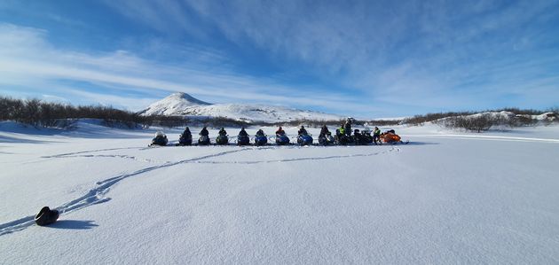 Lake Mývatn & Snowmobile Tour from Akureyrifrom 59.900 ISK · 9 h
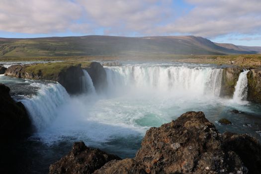 Goðafoss and the Forest Lagoonfrom 26.400 ISK · 4 hAll 1,648 toursBy activity and region
Bjarnarfjörður weather and conditions
Last updated
1°Cpartly cloudy · feels -3°C3 m/swind9 h 47 mdaylight · 08:18 – 18:05

Tonight
Northern lights forecast by region
In season now · Winter in IcelandNorthern Lights 4x4 Tour from Akureyrifrom 34.799 ISK · 2 h 30 minAll 1,648 tours
Cars & campers
−12%exclusive discountFree cancellation KEF airport pickup 24/74.8
KEF airport pickup 24/74.8
 Transmission
 Fuel
Fuel Seats
Seats Drive
Drive

 Sleeps
Photos & videos
No verified videos yet — we only show footage confirmed to be Bjarnarfjörður, no lookalikes. Search YouTube
Nearby
km column = your drive
- 1
 Kollafjörður (Strandir)21 km
 - 2
 Húnafjörður46 km
 - 3
 Skagafjörður82 km
 - 4
 Siglufjörður123 km
 - 5
 Héðinsfjörður128 km
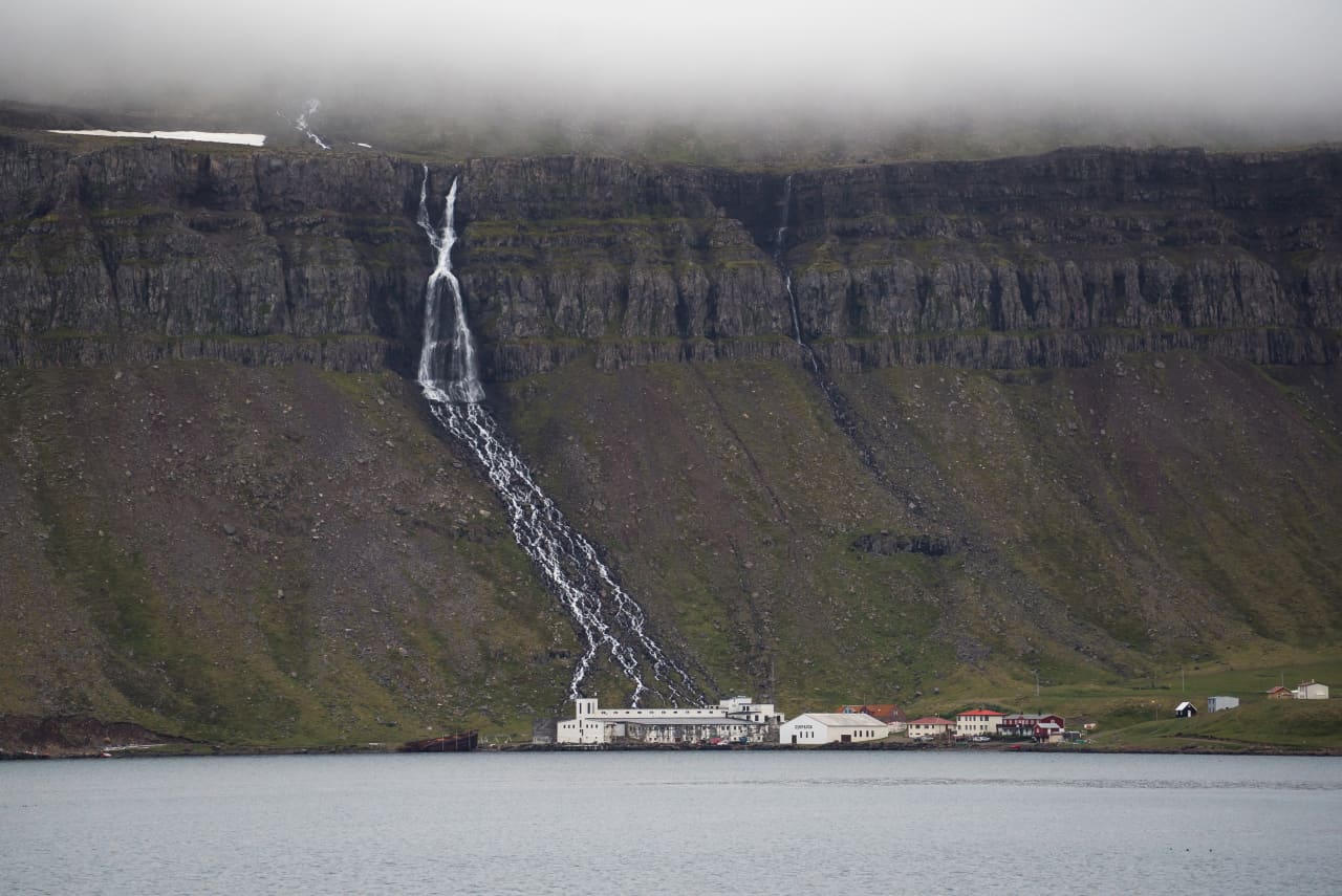
 Waterfalls

 Hot springs
All hot springs →

 Fuel
Fuel
- 1
 Drangsnes9 km · 310.9 kr/L
 - 2Hólmavík14 km · 310.9 kr/L
- 3Norðurfjörður32 km · 310.9 kr/L
 Supermarkets
- 1Kaupfélag Steingrímsfjarðar9 km
- 2Krambúð14 km
- 3Kaupfélag Vestur-Húnvetninga47 km

 Tours
Tours
 (Cruise Ships) Lake Mývatn and Goðafossfrom 25.300 ISK · 6 hours 30 minutes
 (RS) Lake Myvatn & Godafoss Waterfall Day Tour from Akureyrifrom 25.900 ISK · 6 hours
 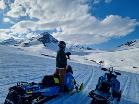 Adventure snowmobile tour Akureyrifrom 166.750 ISK · 5 hours
Frequently
asked
questions
Where is Bjarnarfjörður?
Bjarnarfjörður is a fjord in North Iceland, Iceland. Check the map on this page for its exact position and the driving route in.
How do I get to Bjarnarfjörður?
Bjarnarfjörður is in North Iceland. Fjord roads follow the shoreline, so the drive around is longer than the straight-line distance. Check live road conditions on this page before you drive — some Westfjords roads are gravel and mountain passes can close.
When is the best time to visit Bjarnarfjörður?
June to September gives the most reliable road access. Outside summer, check road.is / Vegagerðin conditions the day you drive — passes and gravel sections can close on short notice.
Are there services near Bjarnarfjörður?
Services in Iceland's fjords are spread out. Fuel up when you pass a station and carry supplies — the next fuel or food stop can be an hour or more away, especially in the Westfjords.
Data & sources
Everything on this page comes from the sources below. Live feeds refresh automatically.
 Wikimedia CommonsHero & gallery photography · Wikimedia Commons · CC BY 2.5
 VegagerðinVisitor access & practical facts
 VegagerðinLive road status & cameras · Icelandic Road Administration
 Open-MeteoWeather forecast · CC BY 4.0
 NOAA SWPCAurora (planetary Kp) forecast · public domain
 OpenStreetMapInteractive-map data · ODbL
 Esri, Maxar & Earthstar GeographicsSatellite imagery for the 3D terrain render · GIS User Community
Spotted an error, or have something to add? Help us keep this page accurate.
Iceland nowfrom 19 Sep 06:10