



 Road
Road  Weather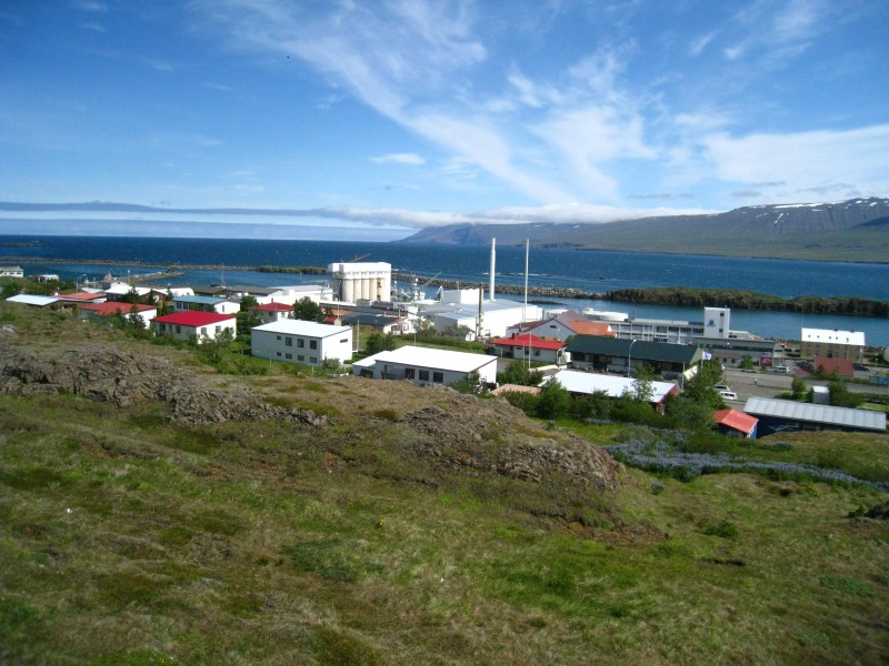


About
A small campsite on two flat terraces above Vopnafjörður in east Iceland, looking out over the town, fjord and mountains. A service house has toilets, a shower and dishwashing, with a sports hall opposite offering a sauna and gym. The town's pool draws its water from a nearby hot spring.
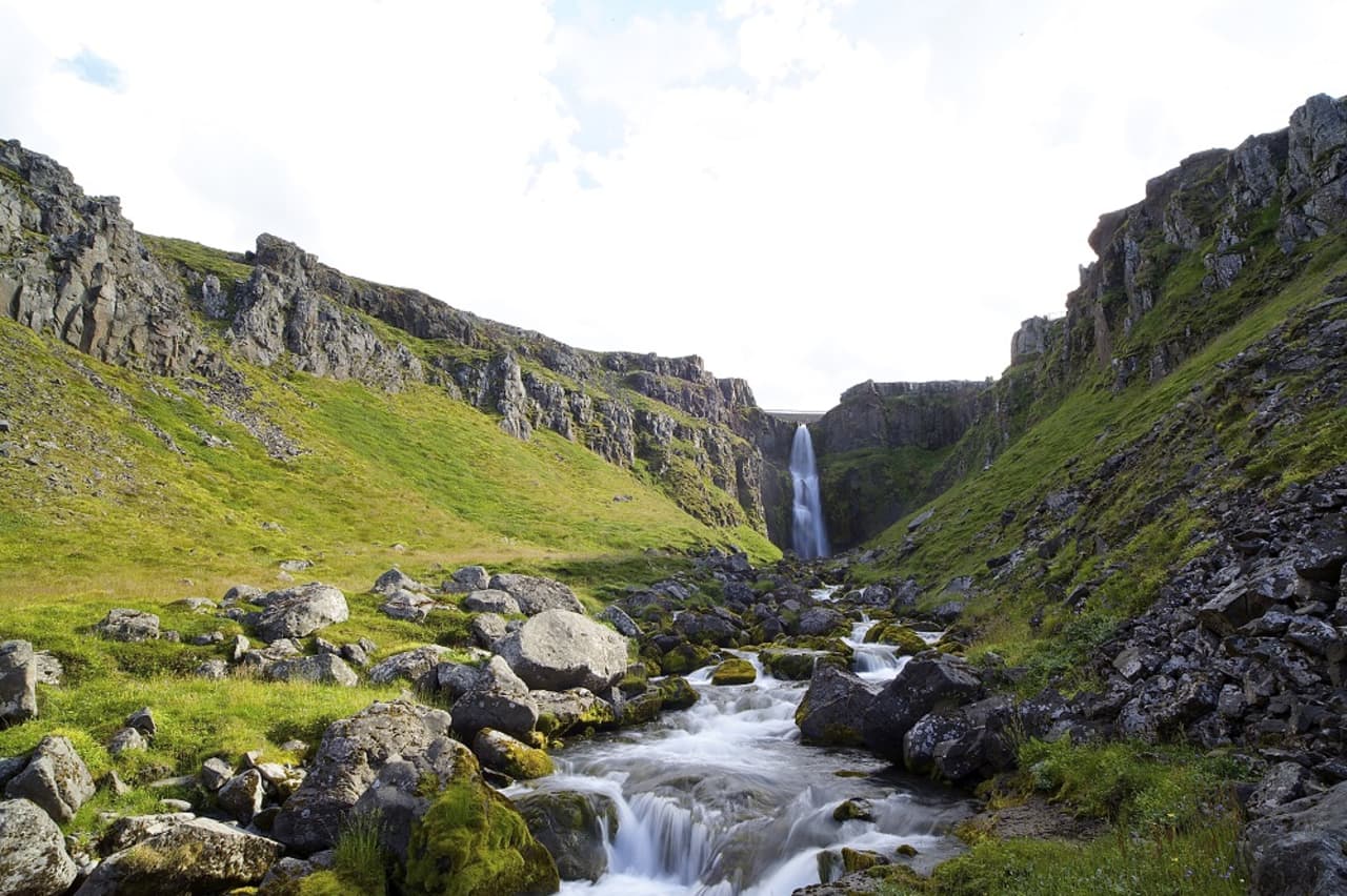
Vopnafjörður's campsite is a small one, laid out on two flat terraces in the hills above the town. From up here you look across the town, the fjord and the mountains on its far side, with a playground and football field just below. The service house covers toilets, a shower and dishwashing. Across the way, the sports hall opens its toilets and showers to guests for a small fee, and it also has a sauna and gym. Being a compact village, everything is close: an information centre, a museum in a restored old house, a shop, pharmacy and health centre. The swimming pool sits by the river Selá, one of Iceland's top salmon rivers, and its two hot tubs are fed from a hot spring nearby. There's a golf course and horse rental too, plus walking trails around the fjord to the Glúfursárfoss waterfall.
Book ahead in summer, especially near popular spots. Campsites fill up by late afternoon.
Map of Vopnafjörður
65.7579°N, 14.8270°W · East Iceland
Plan your visit
 Walk-ins
- Not accepted — book ahead
 Advance booking
- Not offered
 Getting there
- Road 85 (Hlíðarvegur - Skógavegur)
 Off the main road
- 0.4 km from Route 85
 Nearest town
- Vopnafjörður — 0.2 km away
 Distance from Reykjavík
- 380 km in a straight line
 What else is close
- 45 mapped places within 20 km
Tours near Vopnafjörður
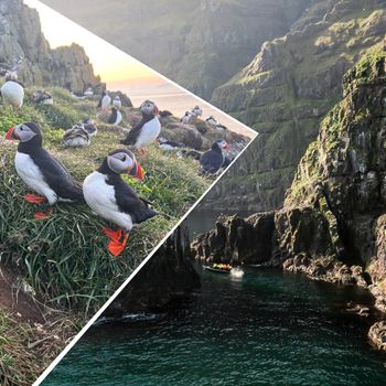 Puffin Questfrom 20.000 ISK · 1 h
 Relax - The essential Vök Baths experiencefrom 7.690 ISK · 1 h 30 min
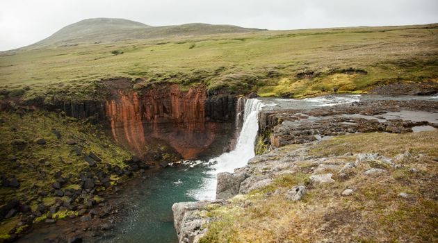 Wonders of the Wilderness - Summerfrom 61.000 ISK · 10 h
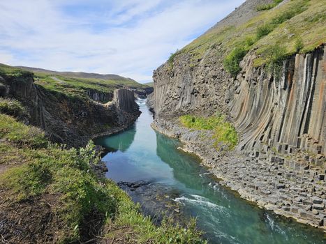 Stuðlagil - The gem of East Icelandfrom 50.000 ISK · 6 h
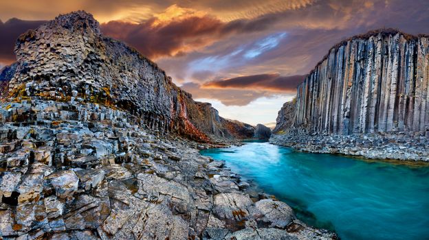 Seyðisfjörður: Hidden Stuðlagil Canyon & Reindeer Tourfrom 25.990 ISK · 6 h
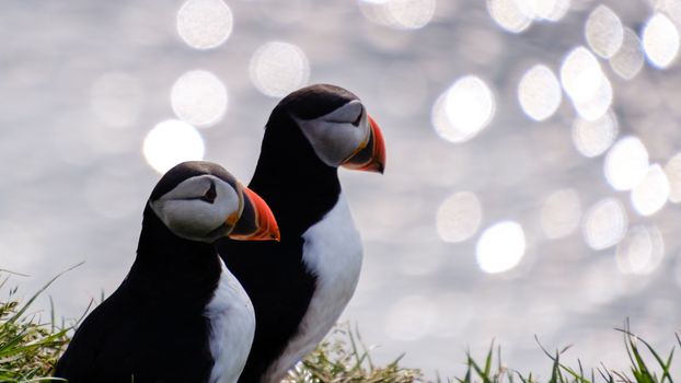 Seyðisfjörður: Puffins, Reindeer & Eastfjords Tourfrom 25.990 ISK · 6 h
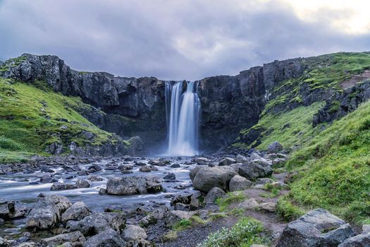 Puffin Tour from Seyðisfjörður with Gufufoss Waterfall & East Iceland Villagefrom 26.990 ISK · 5 h
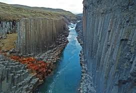 Stuðlagil Canyon from Seyðisfjörðurfrom 26.990 ISK · 5 h
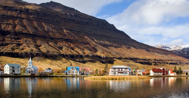 Stuðlagil Canyon and Waterfalls Tour from Seyðisfjörður Portfrom 30.000 ISK · 7 h
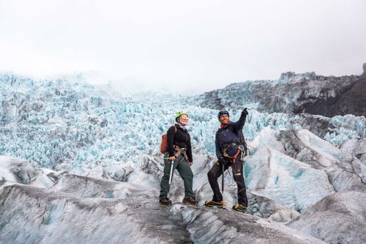 Skaftafell 5-Hours Adventure Glacier Hikefrom 20.775 ISK · 5 h
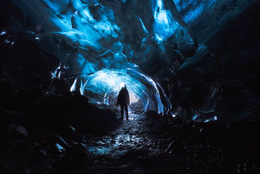 Skaftafell Blue Ice Cave and Glacier Walk Tourfrom 19.999 ISK · 3 h
 Northern Lights Chase from Glacier Lagoonfrom 25.000 ISK · 5 hAll 1,648 toursBy activity and region
Amenities
 Electricity
 Shower
 Cooking facilities
 Walking paths
 Horse rental
 Playground
 Golf course
 Swimming pool
 Fishing
Facilities listed by tjalda.is
Vopnafjörður weather and conditions
Last updated
- Adults
- 1,300 ISK
- Children, 12 – 16 year old (12–16 years)
- 700 ISK
- Senior citizens and the disabled
- 1,000 ISK
- Electricity
- 1,000 ISK
- Free for children under the age of 12 years.
- Third night free.
Rates via tjalda.is · retrieved 2026-07-17

Cars & campers
 KEF airport pickup 24/74.8
 Transmission
 Fuel
Fuel Seats
Seats Drive
Drive

 Sleeps
Photos & videos
Nearby
km column = your drive
- 1
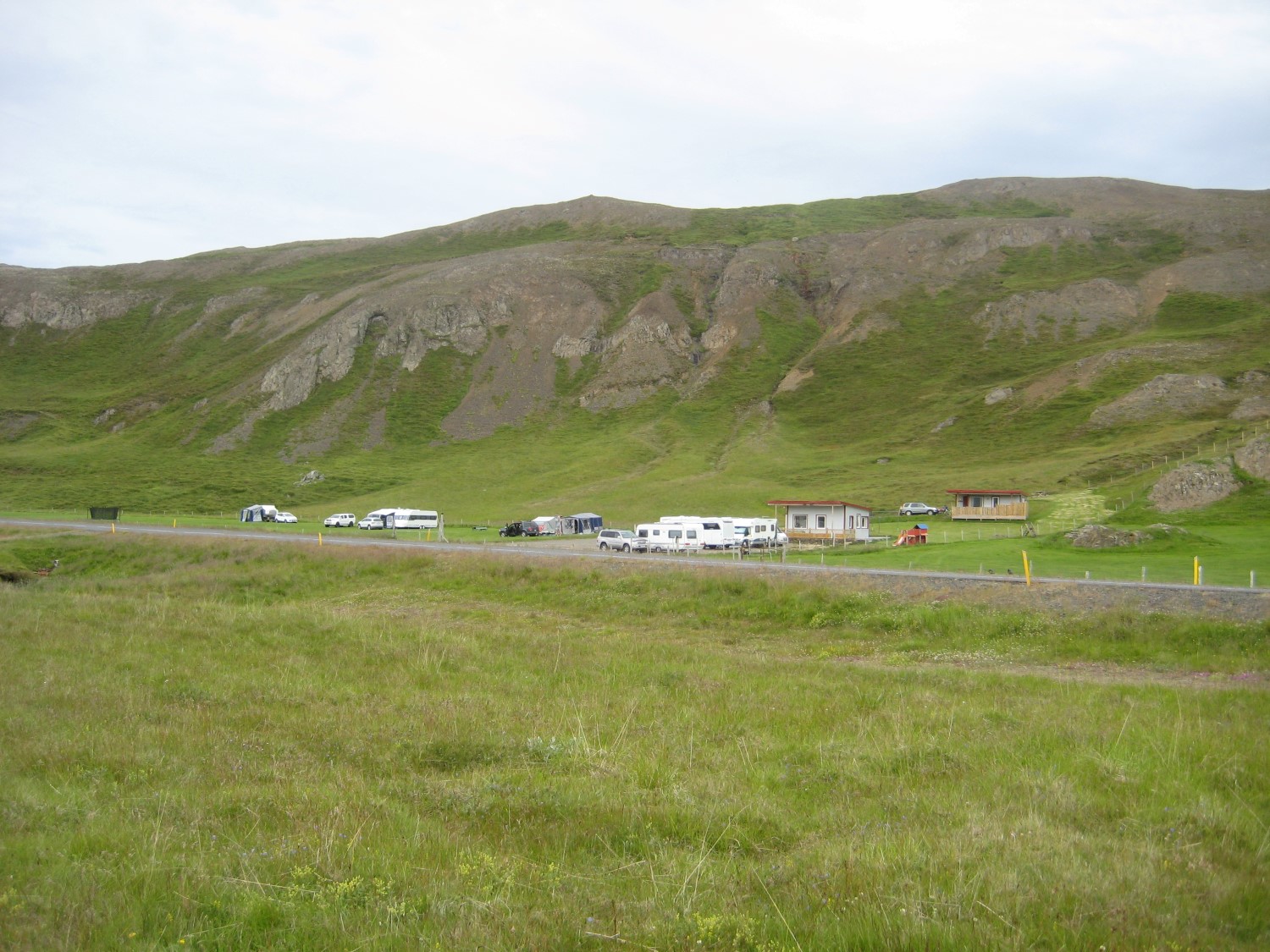 Ásbrandsstaðir, Vopnafirði7 km
 - 2
Svartiskógur29 km
- 3Tjaldsvæðið við Hótel Svartaskóg30 km
- 4
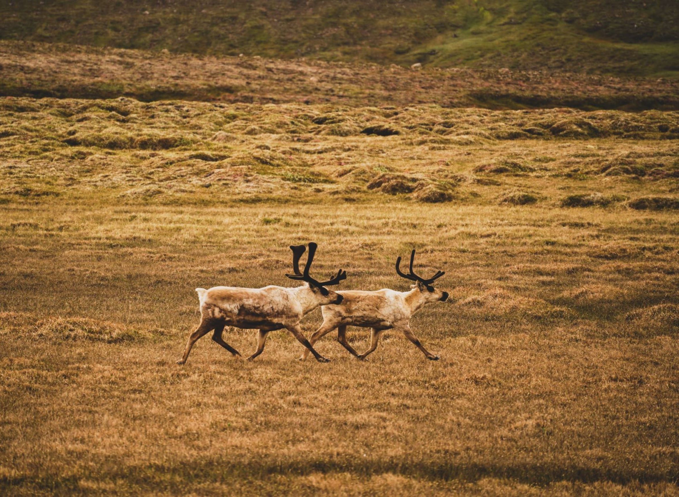 Bakkafjörður31 km
 - 5
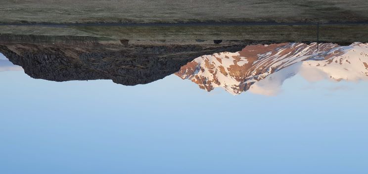 Tjaldsvæðið Borgarfirði eystri53 km

 Waterfalls
 Hot springs
- 1Geothermal hot spring near Vopnafjarðarhreppur6 km
- 2Geothermal hot spring near Langanesbyggð31 km
- 3Natural hot pot near Múlaþing51 km

 Fuel
Fuel
- 1
 Vopnafjörður< 1 km · 310.9 kr/L
 - 2Bakkafjörður31 km · 310.9 kr/L
- 3Skjöldólfsstaðir51 km · 308.6 kr/L
 Supermarkets

 Tours
Tours
 Abandoned Fjords Super Jeep Tourfrom 42.000 ISK · 5 hours
 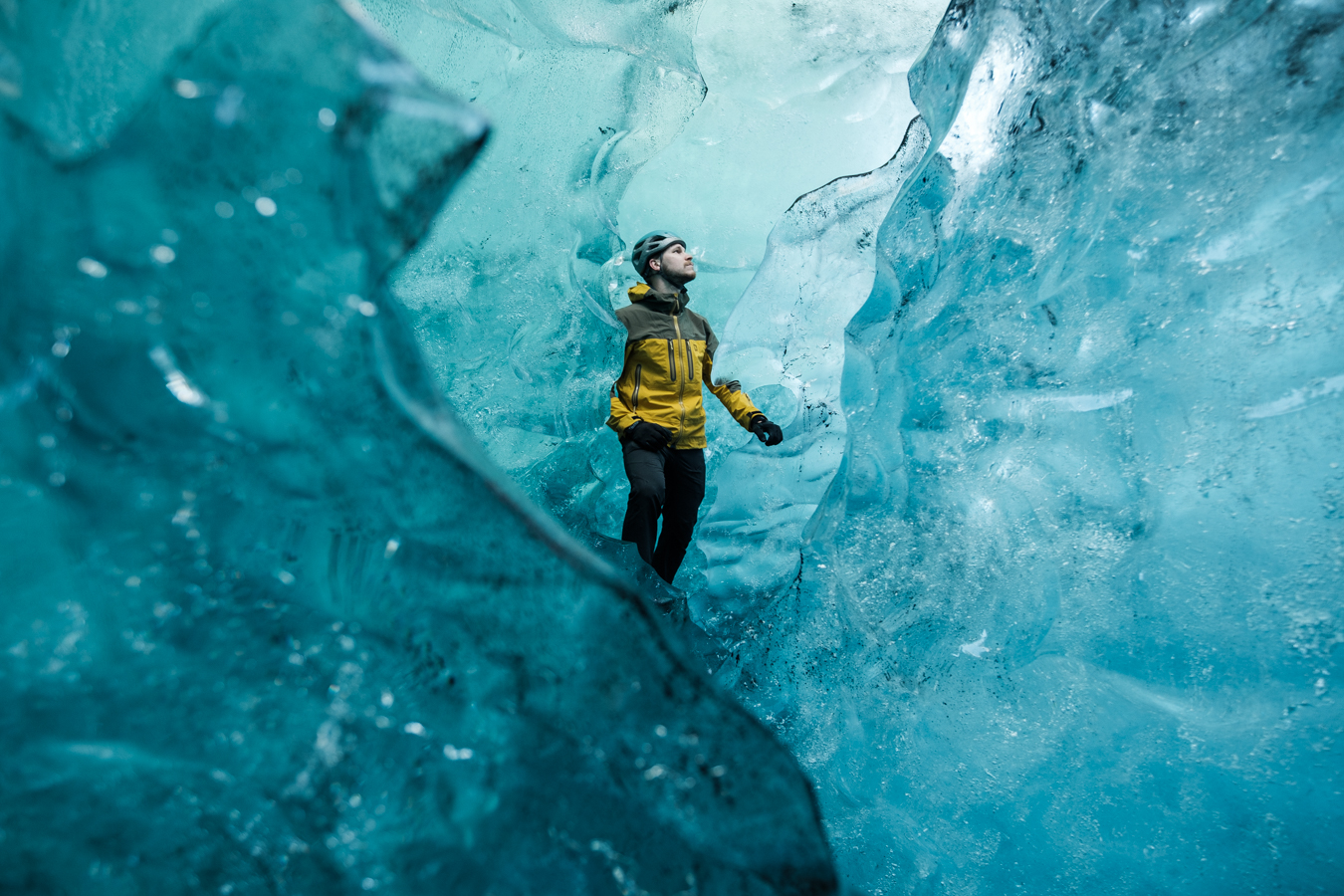 Blue Ice Discoveryfrom 24.900 ISK · 4 hours
 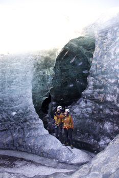 Breidamerkurjökull Glacier Hikefrom 15.377 ISK · 3 hours
Frequently
asked
questions
Can I wild camp near Vopnafjörður instead?
Do I need to book Vopnafjörður in advance?
When is Vopnafjörður open?
What facilities does Vopnafjörður have?
Data & sources
Everything on this page comes from the sources below. Live feeds refresh automatically.
 PhotographyHero & gallery photography · Photo: tjalda.is
 tjalda.isCampsite facts · About text by Map of Iceland (claude-opus-4-8, 2026-07)
 VegagerðinLive road status & cameras · Icelandic Road Administration
 Open-MeteoWeather forecast · CC BY 4.0
 NOAA SWPCAurora (planetary Kp) forecast · public domain
 OpenStreetMapInteractive-map data · ODbL
 Esri, Maxar & Earthstar GeographicsSatellite imagery for the 3D terrain render · GIS User Community
Spotted an error, or have something to add? Help us keep this page accurate.