





 Road
Road  Weather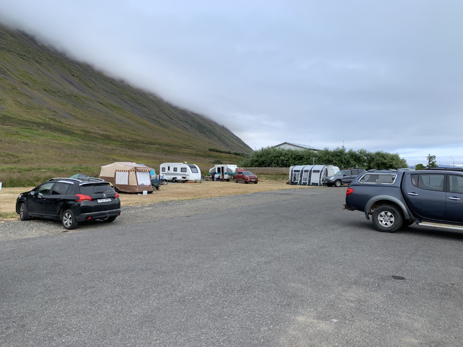


About
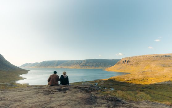
Súðavík Campsite stands above the community centre with views across Álftafjörður toward Mount Kofri, Kambsnes and the island of Vigur. Opened in 2005, it's a grassy, well-kept site with a 24-hour service building, electric hook-ups and drying cabinets. Ísafjörður is 17 km away. Open June to mid-September.
The outlook is the first thing you notice — the site sits high above the community centre, with Álftafjörður spread out below and Mount Kofri, Kambsnes and the island of Vigur on view. Vigur is one of the Westfjords' more popular spots to visit. Open since 2005, it's a spacious, grassy and well-tended site. The service building runs 24 hours, with toilets, showers, hot and cold water, dishwashing and drying cabinets, plus accessible facilities. Motorhomes and caravans get electric hook-ups and sewage disposal. Raggagarður family park, with playground equipment for all ages, is a five-minute walk away. Súðavík's services are close, Ísafjörður is only 17 km on, and the site makes a calm base for the wider Ísafjarðardjúp area. Note it closes for private events on a few July dates.
Camping cards can save you money if you're spending multiple nights in the tent. Do the math.
Map of Súðavík
66.0398°N, 22.9876°W · Westfjords
Plan your visit
 Season
- Opening hours are from June 1st – September 15th. The campsite will be fully booked and reserved for private events from 17-19 July and 23-26 July. Therefore, the campsite will be closed to the general public during these dates.
 Walk-ins
- Accepted — first-come, first-served
 Advance booking
- Not offered
 Getting there
- Road 61 (Flugvallav-Súðavík)
 Off the main road
- 0.1 km from Route 61
 Nearest town
- Súðavík — 1.3 km away
 Distance from Reykjavík
- 216 km in a straight line
 What else is close
- 99 mapped places within 20 km
Tours near Súðavík
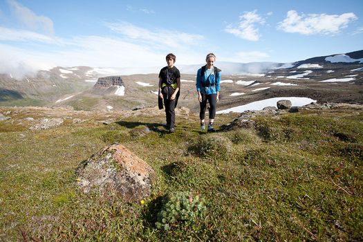 Hornstrandir Panoramafrom 63.100 ISK · 10 h
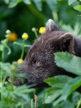 Wildlife and Arctic Foxesfrom 63.100 ISK · 10 h
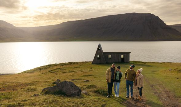 Avoid the crowdsfrom 60.000 ISK · 6 h
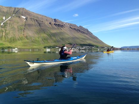 Bike and Kayak Combofrom 27.900 ISK · 7 h
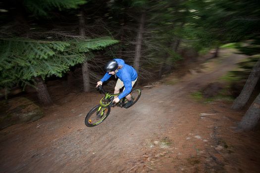 Around the Wallsfrom 16.500 ISK · 2 h 30 min
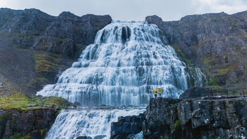 Dynjandi Waterfall & Iceland’s Oldest Bookstore - Westfjords Cruise Tourfrom 21.490 ISK · 4 h
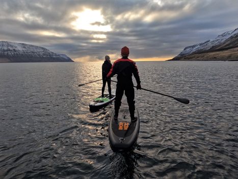 Lake Escapefrom 35.000 ISK · 4 h
 Hike and Waterfall tripfrom 55.000 ISK · 6 h
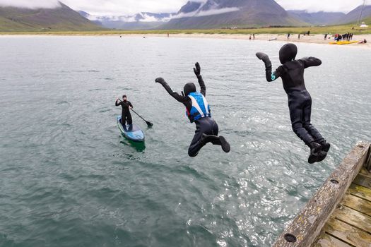 Hit the fjords with those boards.from 60.000 ISK · 7 h
 Blue Ice - Glacier Hike & Ice Climbing from Reykjavíkfrom 32.990 ISK · 13 h 30 min
 Golden Circle and Laugarás Lagoon Lerki Admissionfrom 23.039 ISK · 9 h 30 min
 Spirit of the Aurora (28 person max vehicle)from 14.990 ISK · 5 hAll 1,648 toursBy activity and region
Amenities
 Electricity
 Shower
 Washing machine
 Playground
 Golf course
 Food service
Facilities listed by tjalda.is
Súðavík weather and conditions
Last updated
- Adults (12 years and older)
- 1,800 ISK per person / night
- Children 12 years and younger (≤12 years)
- Free
- Senior citizens and people with disabilities
- 1,000 ISK per person / night
- Electricity
- 1,600 ISK
- Washing machine
- 500 ISK per use
- Lodging tax included.
- Please note: There is no separate charge for the tent itself. Camping fees are charged per person.
- The campsite will be fully booked and reserved for private events from 17-19 July and 23-26 July. Therefore, the campsite will be closed to the general public during these dates.
Rates via tjalda.is · retrieved 2026-07-17

Cars & campers
 KEF airport pickup 24/74.8
 Transmission
 Fuel
Fuel Seats
Seats Drive
Drive

 Sleeps
Photos & videos
Nearby
km column = your drive
- 1Tjaldsvæði Súðavíkur< 1 km
- 2
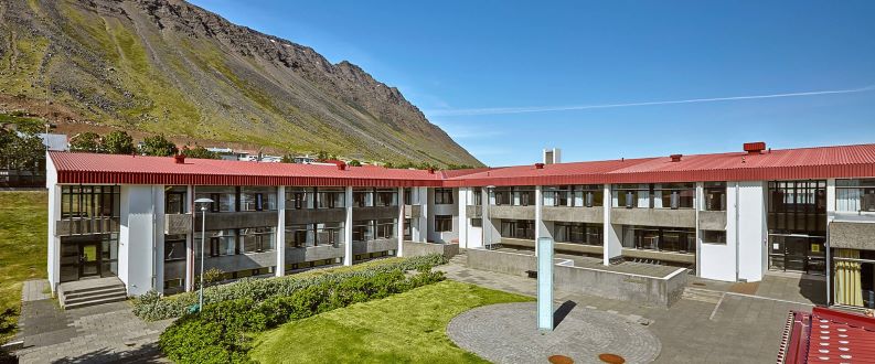 Tjaldsvæðið við Torfnes8 km
 - 3
Tungudalur, Ísafirði10 km
- 4
Korpudalur17 km
- 5
Bolungarvík18 km

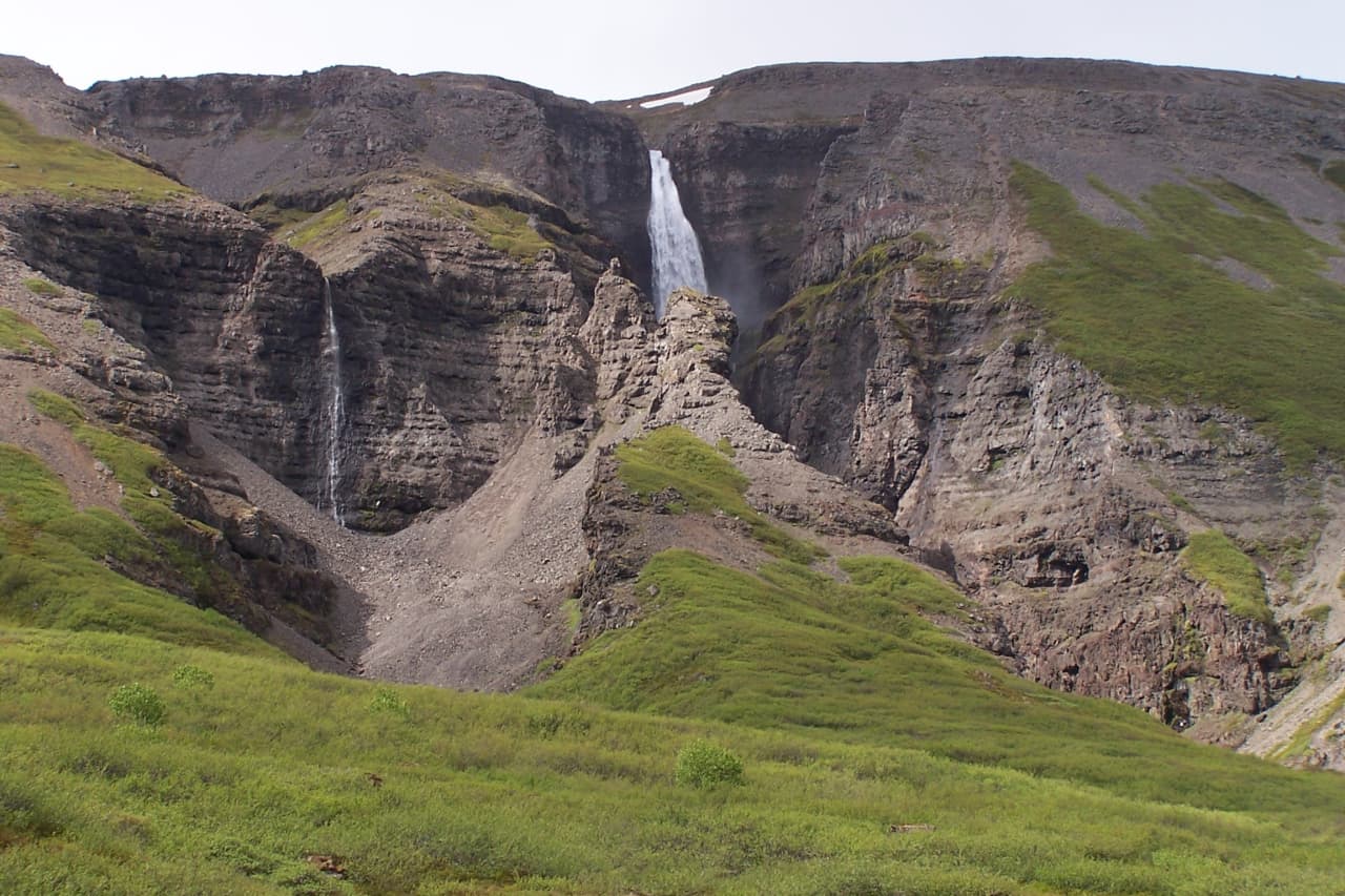
 Waterfalls
 Hot springs
- 1Geothermal hot spring near Ísafjörður9 km
- 2Gjörvidalslaug15 km
- 3Geothermal hot spring near Bolungarvíkurkaupstaður18 km

 Fuel
Fuel
 Supermarkets


 Tours
Tours
- Avoid the crowdsfrom 60.000 ISK · 6 hours
- Bike and Kayak Combofrom 27.900 ISK · 7 hours
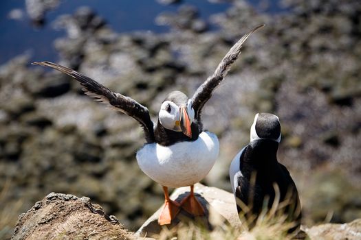 BIRD CLIFFS & BEAUTIFUL BEACHES - bikingfrom 36.800 ISK · 9 hours
Frequently
asked
questions
Can I wild camp near Súðavík instead?
Do I need to book Súðavík in advance?
When is Súðavík open?
What facilities does Súðavík have?
How much does Súðavík cost?
Data & sources
Everything on this page comes from the sources below. Live feeds refresh automatically.
 PhotographyHero & gallery photography · Photo: tjalda.is
 tjalda.isCampsite facts · About text by Map of Iceland (claude-opus-4-8, 2026-07)
 VegagerðinLive road status & cameras · Icelandic Road Administration
 Open-MeteoWeather forecast · CC BY 4.0
 NOAA SWPCAurora (planetary Kp) forecast · public domain
 OpenStreetMapInteractive-map data · ODbL
 Esri, Maxar & Earthstar GeographicsSatellite imagery for the 3D terrain render · GIS User Community
Spotted an error, or have something to add? Help us keep this page accurate.