





 Road
Road  Weather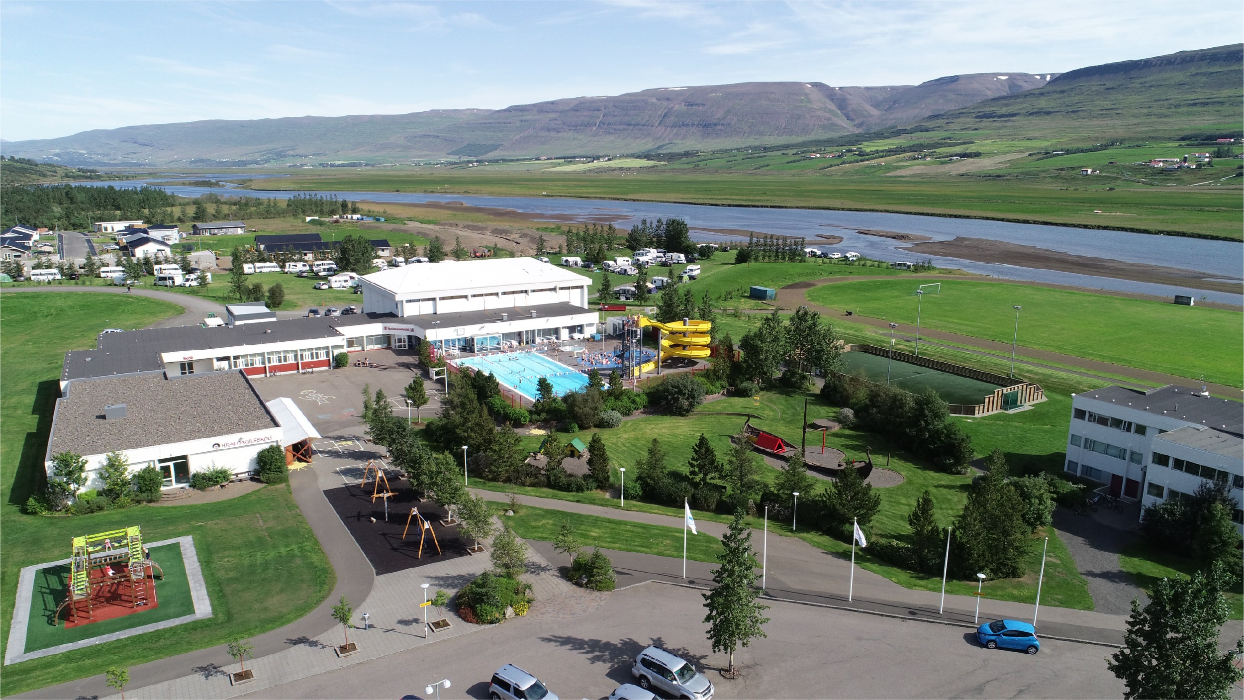


About
Hrafnagil campsite lies in the Eyjafjörður countryside, ten kilometres from Akureyri, with a swimming pool, football field, basketball court, playground and frisbee-golf baskets on site. Dogs welcome on a leash. Hiking trails run through the area. Open 20 May to 31 August.
Ten kilometres south of Akureyri, Hrafnagil trades the town for quiet countryside without giving up the services. The site itself is well kitted for families: a swimming pool, a football field, an outdoor basketball court, a playground, a jumping pillow and several frisbee-golf baskets. There's plenty within a short drive too — the year-round Christmas Garden, Holtsels Hnoss farm ice cream, the Smámunasafnið museum of curiosities, and the Lamb Inn restaurant serving Icelandic lamb. Marked hiking trails and forest walks are dotted around the district. Dogs are welcome as long as they stay on a leash outdoors. One note: the sports field next to the campsite belongs to the local club, Ungmennafélagið Samherjar. Open 20 May to 31 August, drop-in or booked ahead.
Camping cards can save you money if you're spending multiple nights in the tent. Do the math.
Map of Eyjafjarðarsveit
65.5747°N, 18.0938°W · North Iceland
Plan your visit
 Season
- Open from May 20 - August 31
 Walk-ins
- Accepted — first-come, first-served
 Advance booking
- Available — book online
 Getting there
- Road 821 (Miðbr-Eyjafjbr A)
 Off the main road
- 10.6 km from Route 1
 Nearest town
- Hrafnagil — 1.6 km away
 Distance from Reykjavík
- 241 km in a straight line
 What else is close
- 205 mapped places within 20 km
Tours near Eyjafjarðarsveit
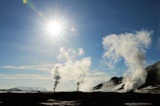 Lake Mývatn & Northern Ligths - Winter Combofrom 35.840 ISK · 3 days
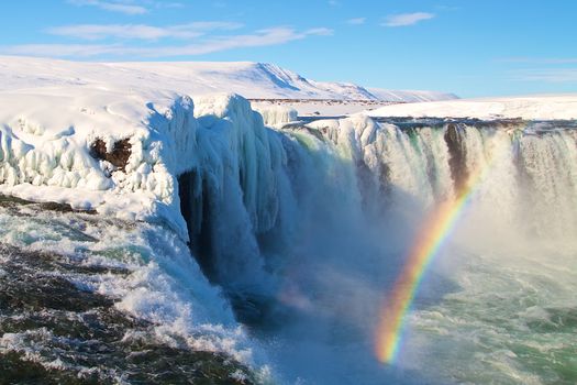 Goðafoss, Forest Lagoon & Northern Lights - Winter Combofrom 35.840 ISK · 3 days
 Dettifoss & Goðafoss Waterfall w/packed Lunch Small Group from Akureyri Portfrom 36.000 ISK · 7 h
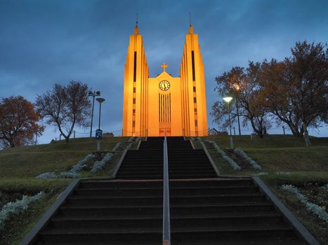 Akureyri City Walk & Local Foodfrom 16.900 ISK · 3 h
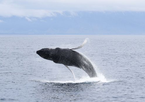 Whale Watching from Akureyrifrom 13.990 ISK · 2 h 30 min
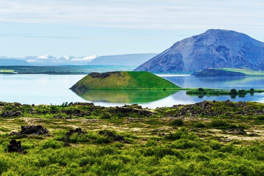 Myvatn, Waterfall, Hot Springs & Volcanoes Tour from Akureyrifrom 21.990 ISK · 6 h
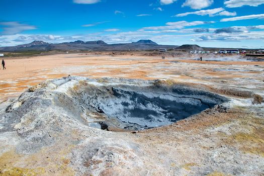 Lake Mývatn Shore Excursion from Akureyri Port - Spanishfrom 23.000 ISK · 6 h
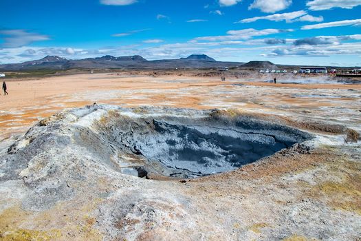 Lake Mývatn Shore Excursion from Akureyri Port - Germanfrom 23.000 ISK · 6 h
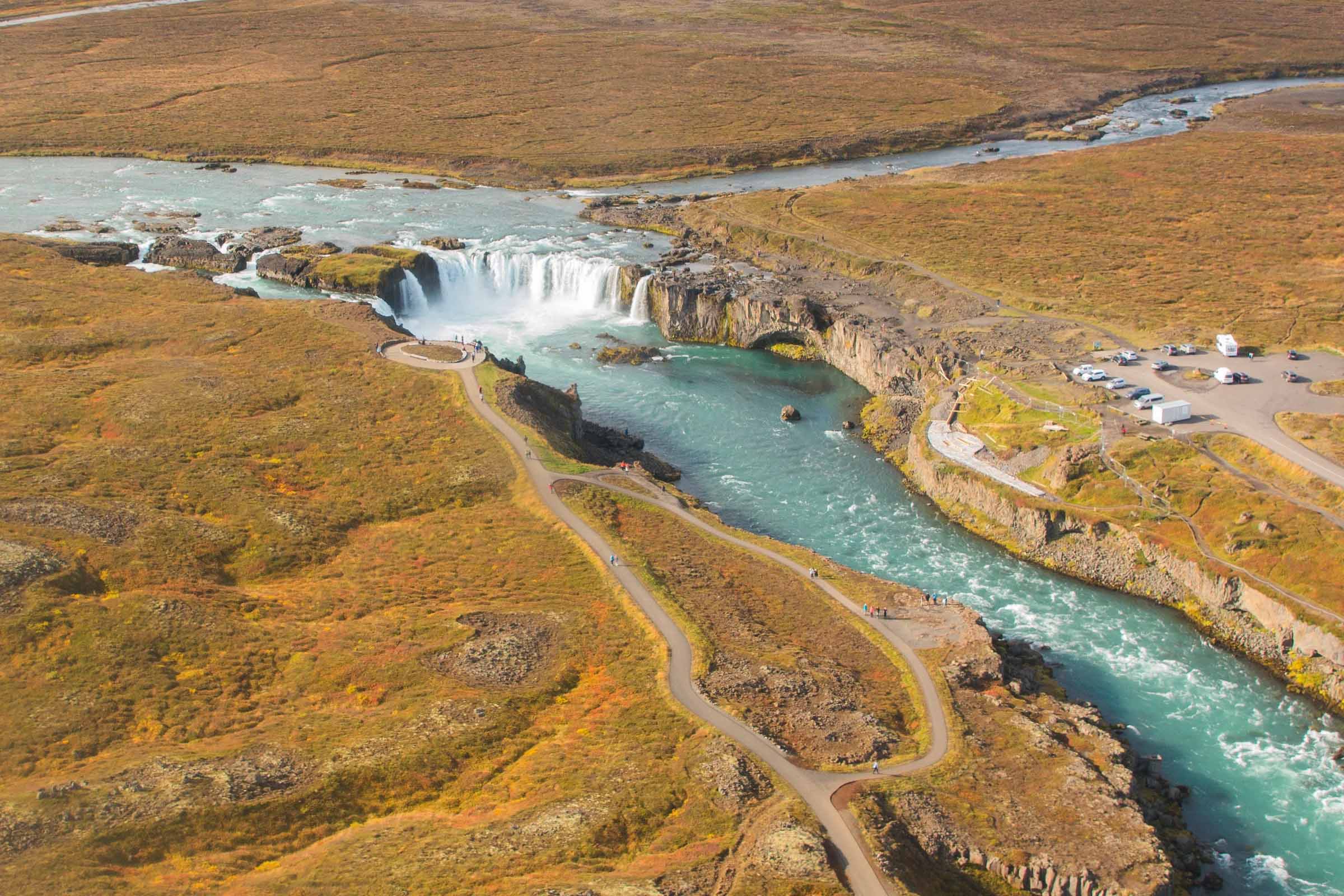 Goðafoss Waterfall Tour from Akureyri Port - Germanfrom 16.000 ISK · 2 h 30 min
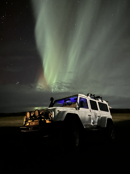 Northern Lights 4x4 Tour from Akureyrifrom 34.799 ISK · 2 h 30 min
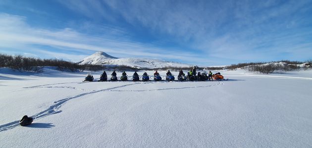 Lake Mývatn & Snowmobile Tour from Akureyrifrom 59.900 ISK · 9 h
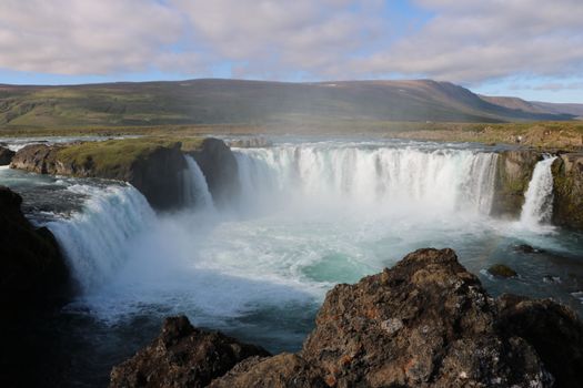 Goðafoss and the Forest Lagoonfrom 26.400 ISK · 4 hAll 1,648 toursBy activity and region
Amenities
 Electricity
 Shower
 Washing machine
 Toilets
 Walking paths
 Playground
 Swimming pool
Facilities listed by tjalda.is
Eyjafjarðarsveit weather and conditions
Last updated
- Adults
- 1,750 ISK
- Children, 17 years and younger (≤17 years)
- Free
- Electricity
- 1,100 ISK
- Lodging tax per unit
- 400 ISK
- https://reisa.is/eyjafjardarsveit/
Rates via tjalda.is · retrieved 2026-07-17

Cars & campers
 KEF airport pickup 24/74.8
 Transmission
 Fuel
Fuel Seats
Seats Drive
Drive

 Sleeps
Photos & videos
No verified videos yet — we only show footage confirmed to be Eyjafjarðarsveit, no lookalikes. Search YouTube
Nearby
km column = your drive
- 1Tjaldsvæði Eyjafjarðarsveitar< 1 km
- 2
Hamrar8 km
- 3
Lónsá, Akureyri14 km
- 4
Systragil17 km
- 5
Vaglaskógur17 km

 Waterfalls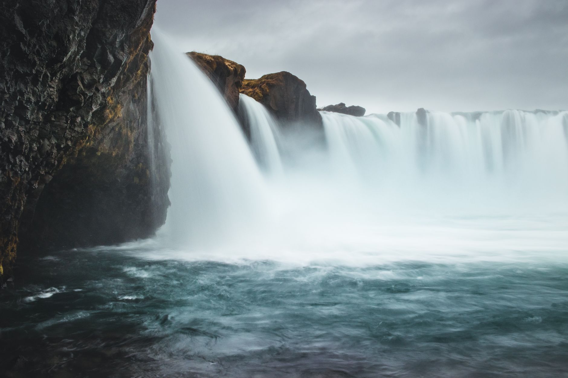

 Hot springs
- 1Geothermal hot spring near Eyjafjarðarsveit< 1 km
- 2Natural hot pot near Eyjafjarðarsveit2 km
- 3Sæberg Hot Pot7 km

 Fuel
Fuel
- 1
 Kjarnagata11 km · 308.7 kr/L
 - 2
 Akureyri Leiruvegur11 km · 310.9 kr/L
 - 3Mýrarvegur12 km · 279.7 kr/L
 Supermarkets

 Tours
Tours
 (Cruise Ships) Lake Mývatn and Goðafossfrom 25.300 ISK · 6 hours 30 minutes
 (RS) Lake Myvatn & Godafoss Waterfall Day Tour from Akureyrifrom 25.900 ISK · 6 hours
 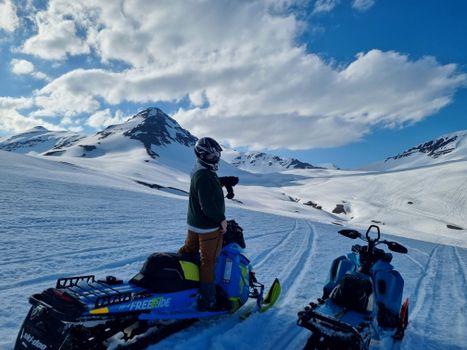 Adventure snowmobile tour Akureyrifrom 166.750 ISK · 5 hours
Frequently
asked
questions
Can I wild camp near Eyjafjarðarsveit instead?
Do I need to book Eyjafjarðarsveit in advance?
When is Eyjafjarðarsveit open?
What facilities does Eyjafjarðarsveit have?
Data & sources
Everything on this page comes from the sources below. Live feeds refresh automatically.
 PhotographyHero & gallery photography · Photo: tjalda.is
 tjalda.isCampsite facts · About text by Map of Iceland (claude-opus-4-8, 2026-07)
 VegagerðinLive road status & cameras · Icelandic Road Administration
 Open-MeteoWeather forecast · CC BY 4.0
 NOAA SWPCAurora (planetary Kp) forecast · public domain
 OpenStreetMapInteractive-map data · ODbL
 Esri, Maxar & Earthstar GeographicsSatellite imagery for the 3D terrain render · GIS User Community
Spotted an error, or have something to add? Help us keep this page accurate.