




 Road
Road  Weather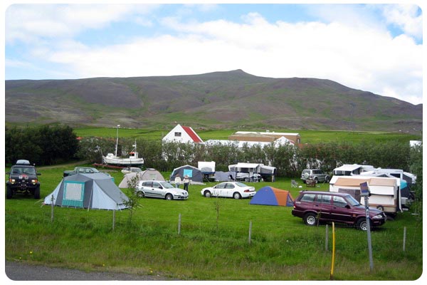


About
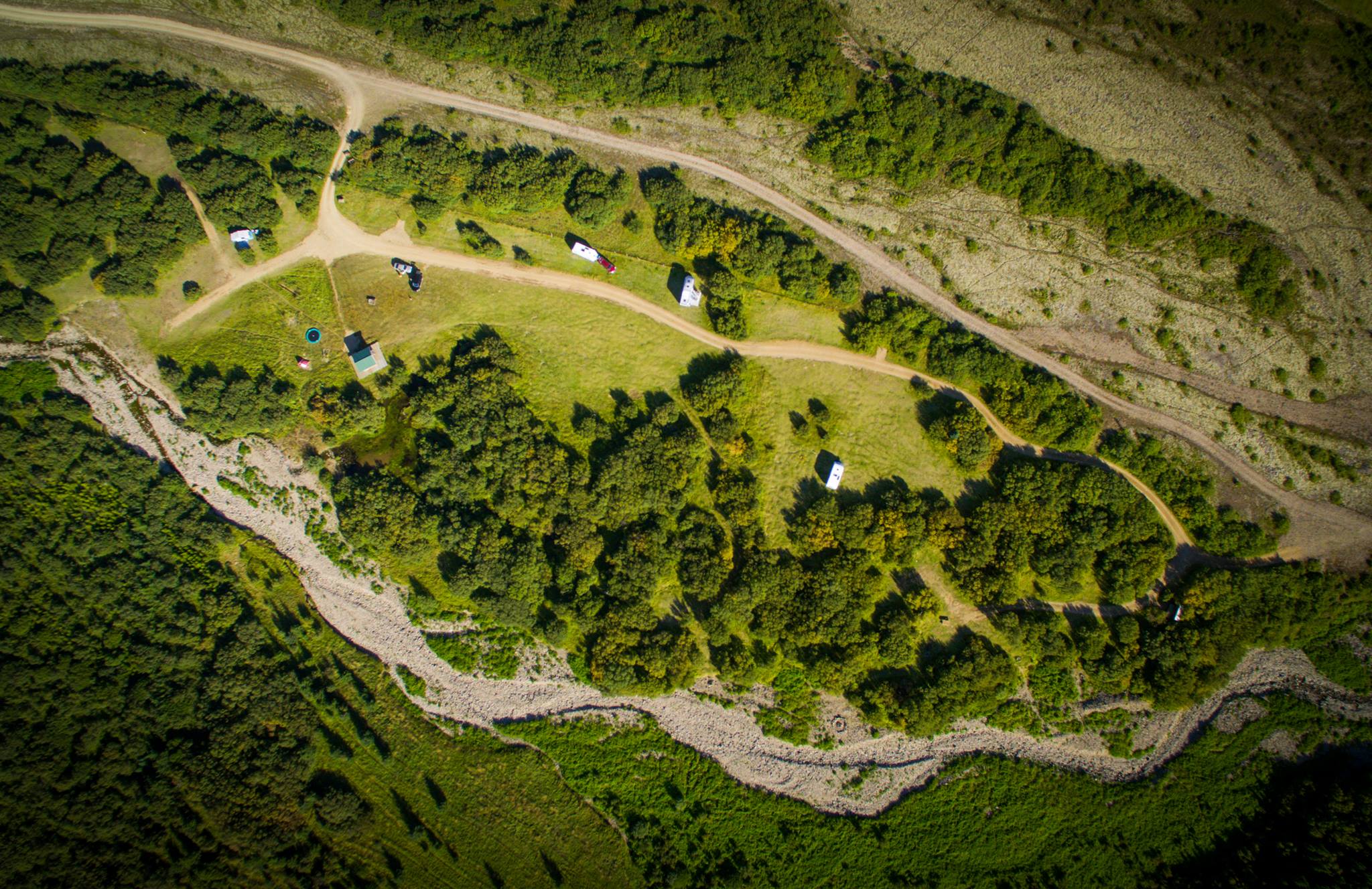
Bjarteyjarsandur is a small campsite on a working family farm in Hvalfjörður, West Iceland, set below the farmhouses by road 47. It's a quiet base for hikers and bikers, about ten minutes' drive from the Glymur waterfall. Open April to November, and on request outside those months.
This is a small, family-run farm campsite, sitting below the farmhouses in Hvalfjörður. The family has worked the land here for generations and sells its own locally-sourced produce. Facilities are modest: toilets, a single shower, a little wooden shelter, and a walking path. If the weather turns, there's the option of sleeping-bag accommodation indoors. It's set up with hikers and bikers in mind, quiet, and only about ten minutes by road from the Glymur waterfall. An evening or early-morning walk down to the shore is worth the time. And if you ask the locals in summer, they might point you to the hot tub by the shore — their own quiet secret. The site runs from April to November, and opens on request the rest of the year.
Camping cards can save you money if you're spending multiple nights in the tent. Do the math.
Map of Bjarteyjarsandur
64.3984°N, 21.5097°W · West Iceland
Plan your visit
 Season
- Open from the 1st of April to the 1st of November. Open upon request at other times of the year (all year round).
 Walk-ins
- Not accepted — book ahead
 Advance booking
- Not offered
 Getting there
- Road 47 (Hvalfj.norðanv.)
 Off the main road
- 0.1 km from Route 47
 Nearest town
- Melahverfi — 15.9 km away
 Distance from Reykjavík
- 35 km in a straight line
 What else is close
- 256 mapped places within 20 km
Tours near Bjarteyjarsandur
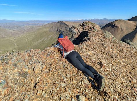 Day Hike to Moskardshnjukar: The Knife's Edgefrom 12.430 ISK · 5 h
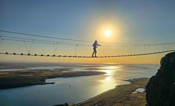 Fálkaklettur Via Ferrata close to Reykjavikfrom 19.900 ISK · 3 h
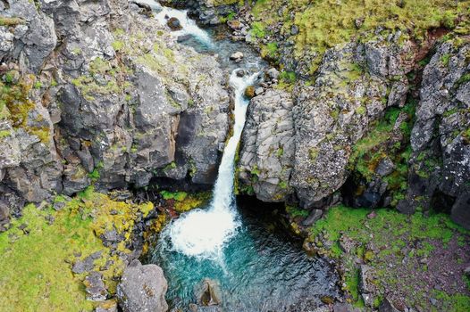 Day Trek to Akrafjall: The Troll's Mountainfrom 17.656 ISK · 6 h 30 min
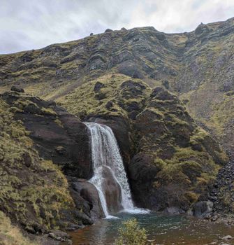 Day Hike to Grimannsfell: Helgufoss Waterfall and the Literary Legacyfrom 13.418 ISK · 5 h 30 min
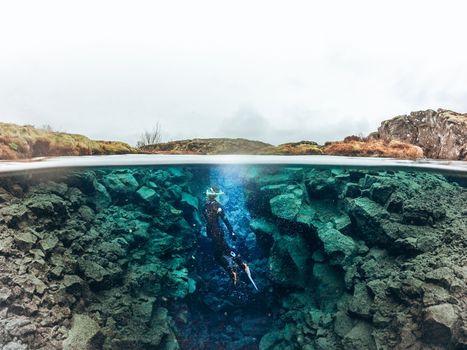 Self drive: Wetsuit Snorkeling in Silfra - with underwater photosfrom 22.990 ISK · 2 h 30 min
 Snorkeling Silfra Tour - meet on locationfrom 21.499 ISK
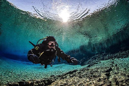 Diving Silfra Tour - Selfdrivefrom 34.499 ISK · 3 h
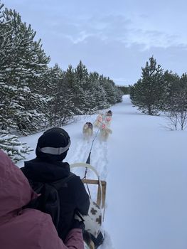 Dog Sleddingfrom 49.900 ISK · 1 h
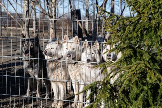 Husky Park - Kennel Visitfrom 11.500 ISK · 1 h
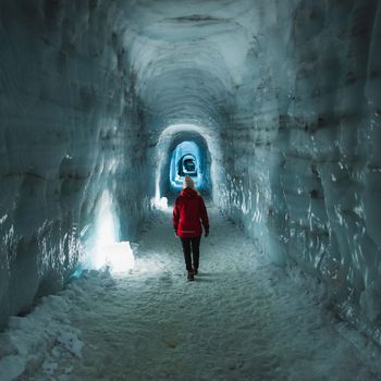 Into The Glacier - From Húsafellfrom 27.900 ISK · 4 h
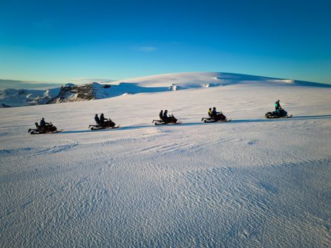 Snowmobile on Langjökull Glacier - Meet us in Husafellfrom 33.490 ISK · 2 h
 Golden Circle and Laugarás Lagoon Lerki Admissionfrom 23.039 ISK · 9 h 30 minAll 1,648 toursBy activity and region
Amenities
 Electricity
 Shower
 Toilets
 Walking paths
 Sleeping bag accommodation
 Food service
Facilities listed by tjalda.is
Bjarteyjarsandur weather and conditions
Last updated
- Adults
- 2,400 ISK
- Children (4-14 years old) (4-14 years)
- 1,200 ISK
- Overnight stay tax
- 400 ISK per unit / night
- Electricity
- 1,100 ISK per night
Rates via tjalda.is · retrieved 2026-07-17

Cars & campers
 KEF airport pickup 24/74.8
 Transmission
 Fuel
Fuel Seats
Seats Drive
Drive

 Sleeps
Photos & videos
Nearby
km column = your drive
- 1
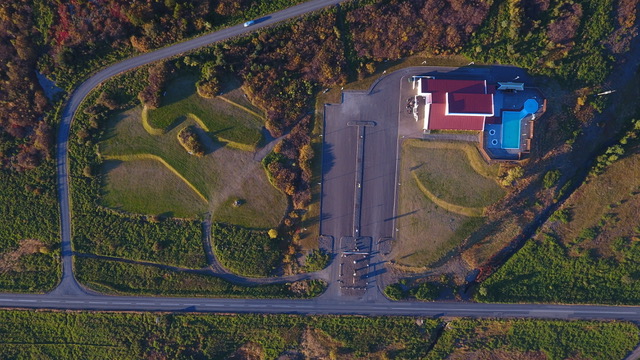 Hlaðir, Hvalfjarðarströnd5 km
 - 2
Þórisstaðir5 km
- 3
 Hjalli11 km
 - 4
 Selskógur, Skorradal15 km
 - 5
Stóri – Lambhagi 415 km
 Waterfalls
 Hot springs
- 1Geothermal hot spring near Kjósarhreppur4 km
- 2Geothermal hot spring near Hvalfjarðarsveit5 km
- 3Natural hot pot near Borgarbyggð17 km

 Fuel
Fuel
- 1
 Ferstikla4 km · 308.7 kr/L
 - 2Grundartangi14 km · 308.7 kr/L
- 3
 Kjalarnes23 km · 279.8 kr/L
 Supermarkets


 Tours
Tours
- Day Trek to Akrafjall: The Troll's Mountainfrom 17.656 ISK · 6 hours 30 minutes
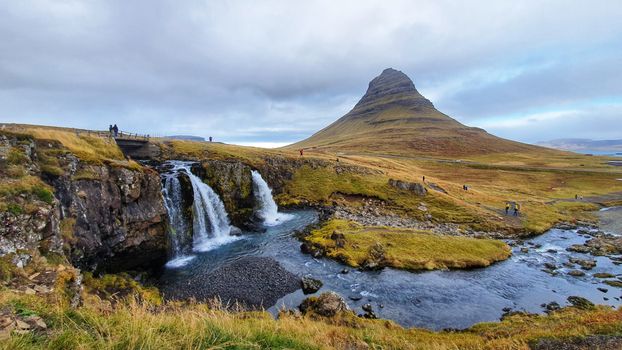 From Grundarfjörður Port: Private Snaefellsness Tourfrom 269.900 ISK · 8 hours
 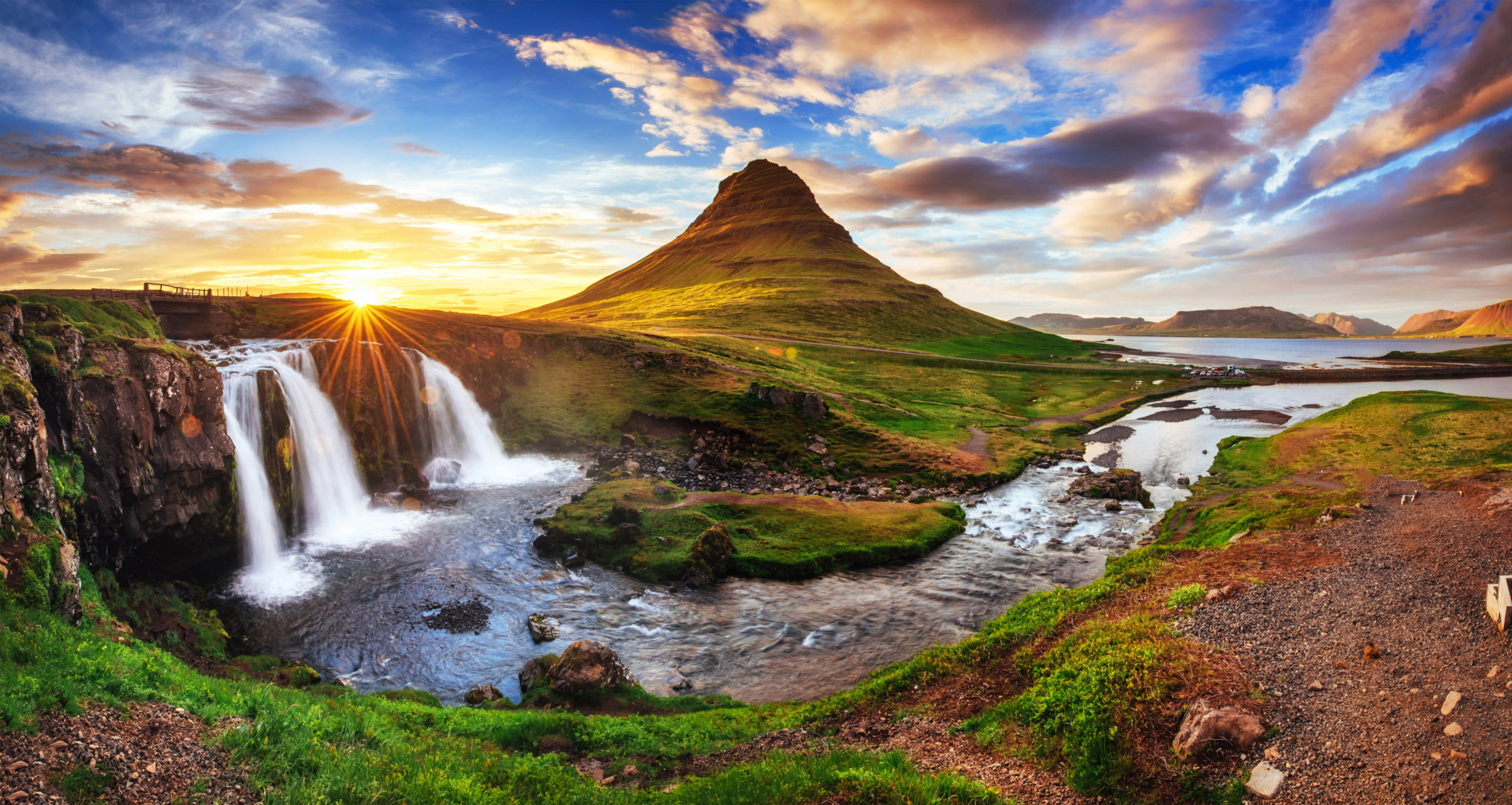 Grundarfjörður Cruise Tour: Snæfellsnes Peninsula from the portfrom 24.500 ISK · 5 hours 30 minutes
Frequently
asked
questions
Can I wild camp near Bjarteyjarsandur instead?
Do I need to book Bjarteyjarsandur in advance?
When is Bjarteyjarsandur open?
What facilities does Bjarteyjarsandur have?
Data & sources
Everything on this page comes from the sources below. Live feeds refresh automatically.
 PhotographyHero & gallery photography · Photo: tjalda.is
 tjalda.isCampsite facts · About text by Map of Iceland (claude-opus-4-8, 2026-07)
 VegagerðinLive road status & cameras · Icelandic Road Administration
 Open-MeteoWeather forecast · CC BY 4.0
 NOAA SWPCAurora (planetary Kp) forecast · public domain
 OpenStreetMapInteractive-map data · ODbL
 Esri, Maxar & Earthstar GeographicsSatellite imagery for the 3D terrain render · GIS User Community
Spotted an error, or have something to add? Help us keep this page accurate.