




 Road
Road  Weather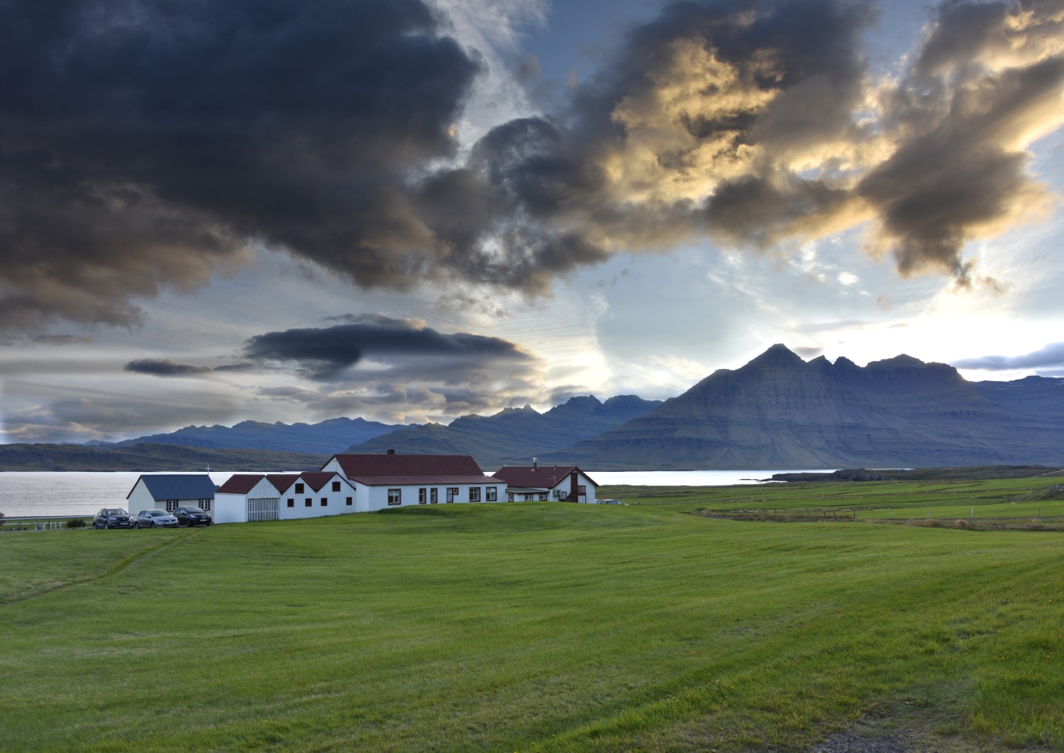


About
On the north side of Berufjörður in East Iceland, Berunes stands right by Route 1. A hostel and restaurant share the spot, and the campsite next door is sheltered by planting, split between small tents and larger campers. Open late April to the end of October.
Berunes stacks a few things in one place. It sits on the northern shore of Berufjörður, next to Route 1, sharing the site with a hostel and a restaurant. The campsite proper runs alongside the hostel and is well sheltered by planting. It's laid out in two areas: one for smaller tents, the other for camper vans and mobile homes. You get toilets, a shower, indoor cooking, and electricity, and the hostel opens up various services to campers too. It's an easy stop on the ring road, open from late April through to the end of October, and you can book ahead or drop in on the day.
Camping cards can save you money if you're spending multiple nights in the tent. Do the math.
Map of Berunes
64.6951°N, 14.2385°W · East Iceland
Plan your visit
 Season
- Open from April 24th to October 31st.
 Walk-ins
- Accepted — first-come, first-served
 Advance booking
- Available — book online
 Off the main road
- 4.9 km from Route 98
 Nearest town
- Djúpivogur — 4.6 km away
 Distance from Reykjavík
- 375 km in a straight line
 What else is close
- 98 mapped places within 20 km
Tours near Berunes
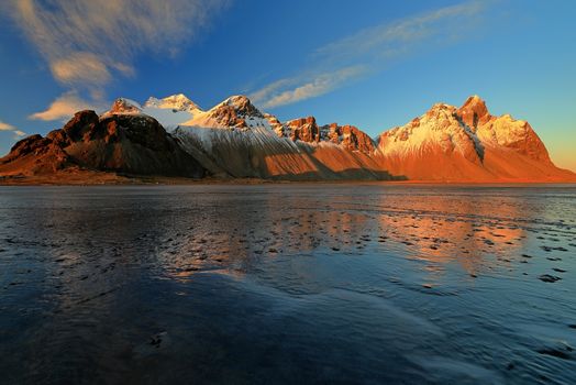 Djúpivogur: Jökulsárlón & Diamond Beach Cruise Tourfrom 29.550 ISK · 6 h 30 min
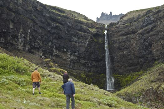 Valleys and Waterfallsfrom 42.000 ISK · 5 h
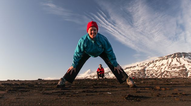 Mindfulness Yoga hike in Breiðdalsvíkfrom 8.700 ISK · 2 h
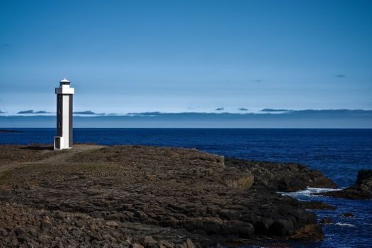 Streiti Coastlinefrom 17.500 ISK · 2 h 30 min
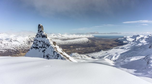 Mt. Kistufell - Super Jeep tourfrom 36.500 ISK · 4 h
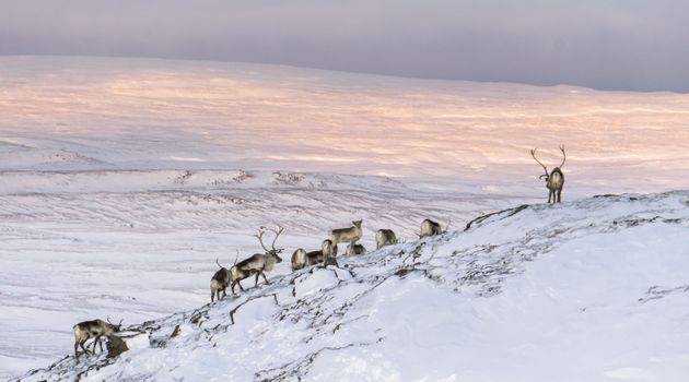 Wild Reindeer Experiencefrom 36.500 ISK · 4 h
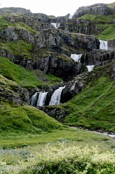 Mjóifjörður Super Jeep Tour - Eskifjörðurfrom 42.000 ISK · 5 h
 Abandoned Fjords Super Jeep Tourfrom 42.000 ISK · 5 h
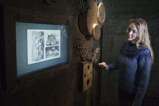 Museumfrom 3.000 ISK · 1 h
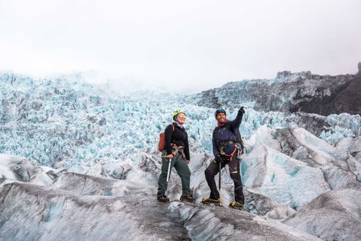 Skaftafell 5-Hours Adventure Glacier Hikefrom 20.775 ISK · 5 h
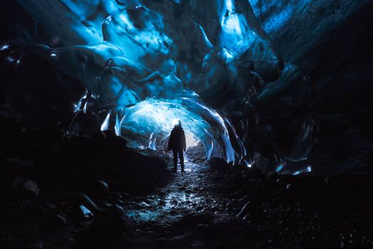 Skaftafell Blue Ice Cave and Glacier Walk Tourfrom 19.999 ISK · 3 h
 Northern Lights Chase from Glacier Lagoonfrom 25.000 ISK · 5 hAll 1,648 toursBy activity and region
Amenities
 Electricity
 Waste disposal for mobile homes
 Shower
 Washing machine
 Toilets
 Cooking facilities
 Walking paths
 Hostel
 Food service
Facilities listed by tjalda.is
Berunes weather and conditions
Last updated
- Adults
- 2,450 ISK
- Electricity
- 1,300 ISK
- Lodging tax per unit
- 400 ISK
- Eldery people 67+: 2150 kr
- Cyclist - special price: 2150 kr
Rates via tjalda.is · retrieved 2026-07-17

Cars & campers
 KEF airport pickup 24/74.8
 Transmission
 Fuel
Fuel Seats
Seats Drive
Drive

Photos & videos
Nearby
km column = your drive
- 1Camping Berunes1 km
- 2
Djúpivogur5 km
- 3
 Eyjólfsstaðir14 km
 - 4Bragðavellir14 km
- 5
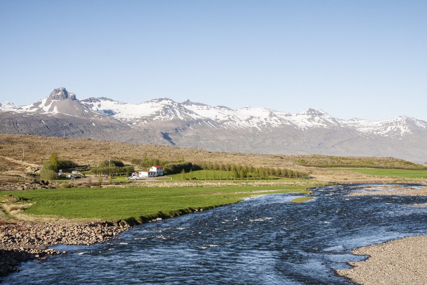 Fossárdalur15 km

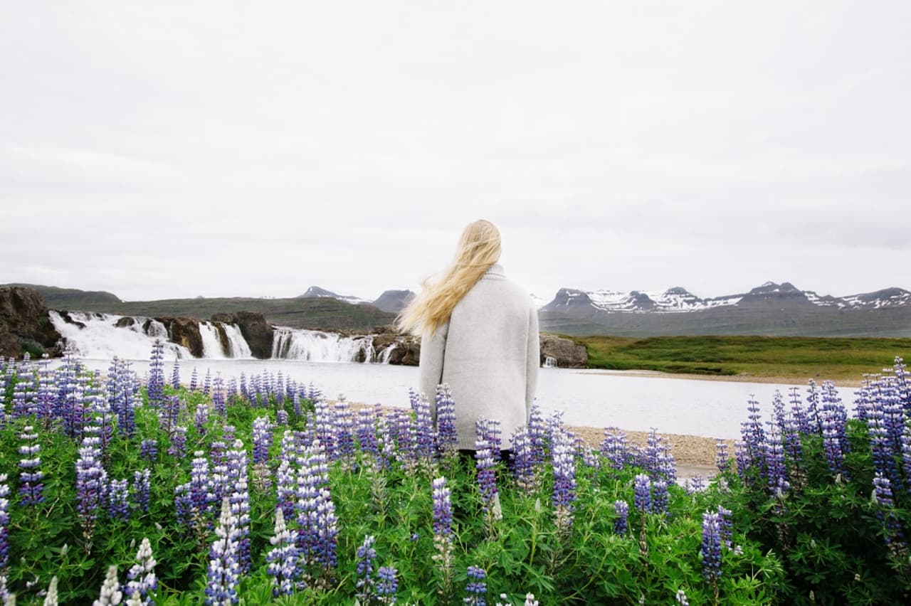
 Waterfalls
 Hot springs
All hot springs →
 Fuel
Fuel
- 1
 Djúpivogur5 km · 310.9 kr/L
 - 2Breiðdalsvík15 km · 310.9 kr/L
- 3Stöðvarfjörður23 km · 310.9 kr/L
 Supermarkets


 Tours
Tours
- Abandoned Fjords Super Jeep Tourfrom 42.000 ISK · 5 hours
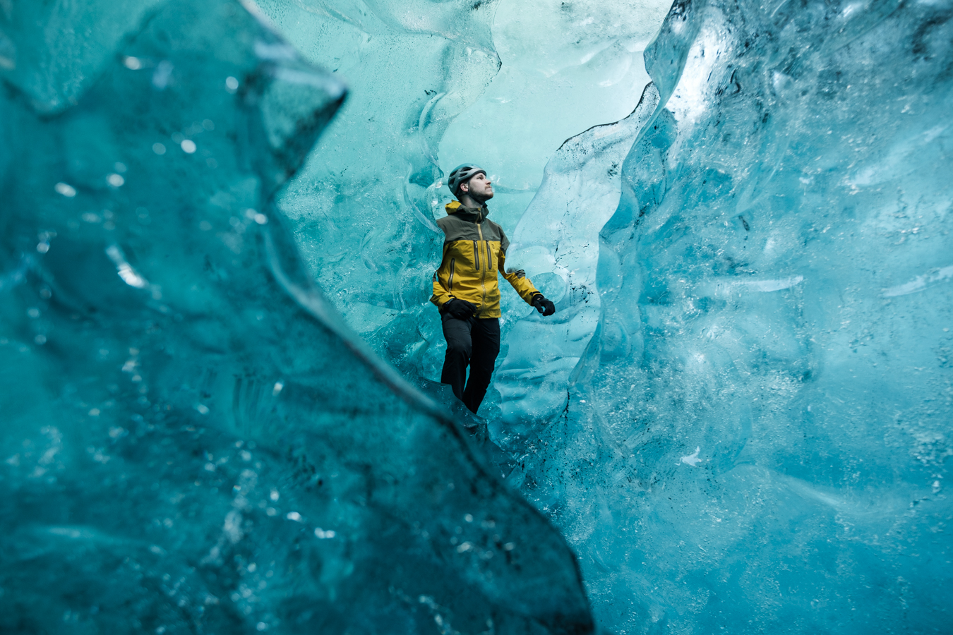 Blue Ice Discoveryfrom 24.900 ISK · 4 hours
  Breidamerkurjökull Glacier Hikefrom 15.377 ISK · 3 hours
Frequently
asked
questions
Can I wild camp near Berunes instead?
Do I need to book Berunes in advance?
When is Berunes open?
What facilities does Berunes have?
Data & sources
Everything on this page comes from the sources below. Live feeds refresh automatically.
 PhotographyHero & gallery photography · Photo: tjalda.is
 tjalda.isCampsite facts · About text by Map of Iceland (claude-opus-4-8, 2026-07)
 VegagerðinLive road status & cameras · Icelandic Road Administration
 Open-MeteoWeather forecast · CC BY 4.0
 NOAA SWPCAurora (planetary Kp) forecast · public domain
 OpenStreetMapInteractive-map data · ODbL
 Esri, Maxar & Earthstar GeographicsSatellite imagery for the 3D terrain render · GIS User Community
Spotted an error, or have something to add? Help us keep this page accurate.