




 Road
Road  Weather


About
Æðarfossar is a waterfall on the Laxá river in North Iceland.
North of Route 85 (Norðausturvegur), the river Laxá í Aðaldal forms a lake and then drops 3 metres in several channels over the Æðarfossar. The Laxá, which is the outflow from Lake Mývatn, has travelled 56 km by the time it reaches this point and flows a further 2 km into Skjálfandi bay. Translated from Icelandic, the name means the "eider duck waterfalls." Nearby lies the farm Laxamýri, which is known for eiderdown and was the birthplace of the poet Jóhann Sigurjónsson.
Translated from Icelandic Wikipedia · CC BY-SA 4.0
Map of Æðarfossar
65.9830°N, 17.4146°W · North Iceland
Tours near Æðarfossar
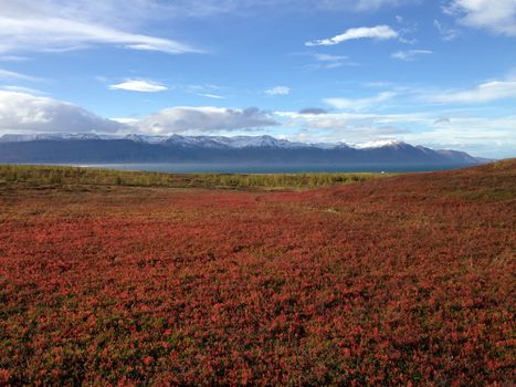 The Saltvík tourfrom 12.000 ISK · 1 h
 Húsavík Original Whale Watchingfrom 14.036 ISK · 3 h
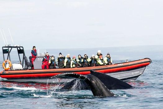 Big Whales & Puffins RIB boat tourfrom 21.990 ISK · 2 h
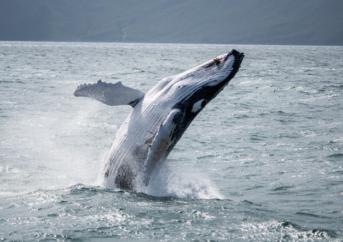 Húsavík: Small-Family Run, Responsible Whale Watchingfrom 11.990 ISK · 3 h
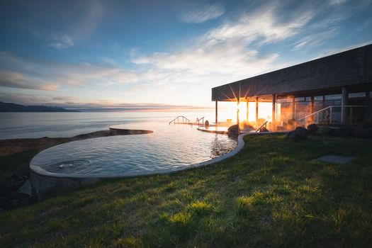 Geosea Ticketfrom 7.490 ISK
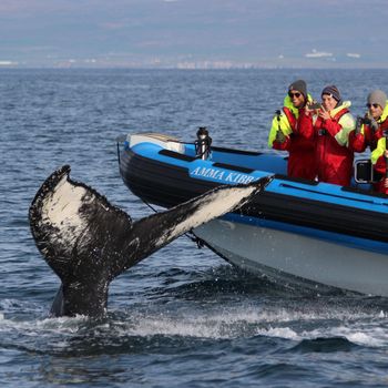 Big Whale Safari & Puffinsfrom 21.990 ISK · 2 h
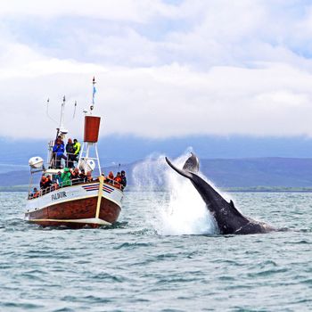 Whale Watchingfrom 12.490 ISK · 3 h
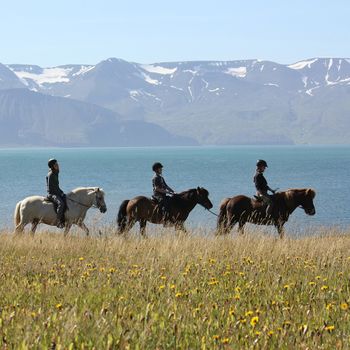 Whales & Horsesfrom 22.990 ISK · 4 h
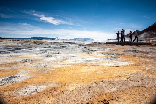 From Húsavík Port: Dettifoss & Lake Mývatn Tourfrom 36.000 ISK · 7 h
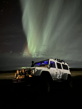 Northern Lights 4x4 Tour from Akureyrifrom 34.799 ISK · 2 h 30 min
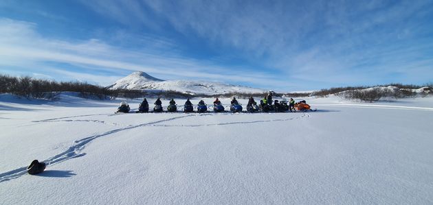 Lake Mývatn & Snowmobile Tour from Akureyrifrom 59.900 ISK · 9 h
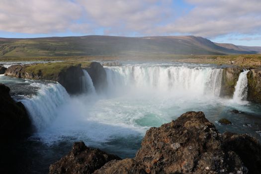 Goðafoss and the Forest Lagoonfrom 26.400 ISK · 4 hAll 1,648 toursBy activity and region
Æðarfossar weather and conditions
Last updated

Cars & campers
 KEF airport pickup 24/74.8
 Transmission
 Fuel
Fuel Seats
Seats Drive
Drive

 Sleeps
Photos & videos
No verified videos yet — we only show footage confirmed to be Æðarfossar, no lookalikes. Search YouTube
Nearby
km column = your drive
- 1Landsendafoss13 km
- 2Skeifárfoss17 km
- 3Ullarfoss23 km
- 4Barnafoss27 km
- 5
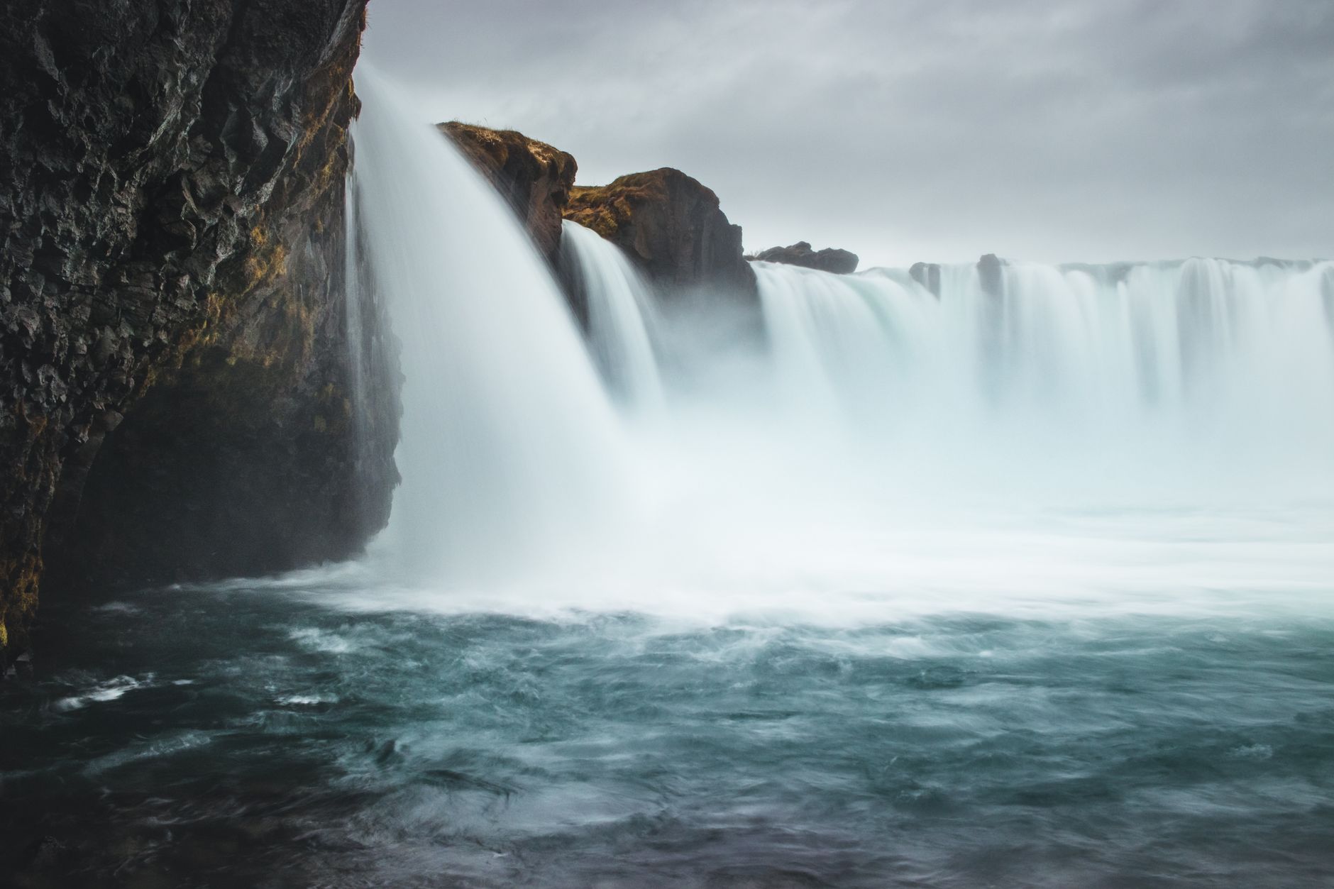 Goðafoss34 km

 Hot springs
 Fuel
Fuel

 Supermarkets

 Tours
Tours
 (Cruise Ships) Lake Mývatn and Goðafossfrom 25.300 ISK · 6 hours 30 minutes
 (RS) Lake Myvatn & Godafoss Waterfall Day Tour from Akureyrifrom 25.900 ISK · 6 hours
 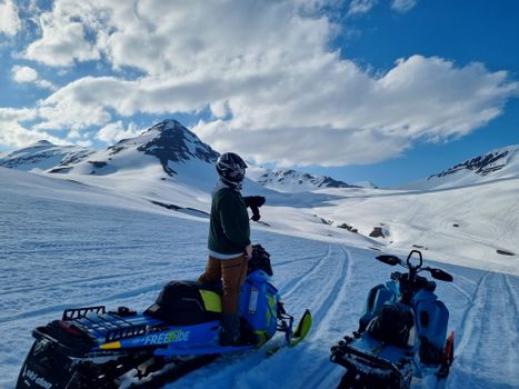 Adventure snowmobile tour Akureyrifrom 166.750 ISK · 5 hours
Frequently
asked
questions
How do I get to Æðarfossar?
Is Æðarfossar free to visit?
What is the best time to visit Æðarfossar?
Data & sources
Everything on this page comes from the sources below. Live feeds refresh automatically.
 PhotographyHero & gallery photography · Bromr · CC BY-SA 3.0
 Icelandic WikipediaEncyclopedic description · CC BY-SA 4.0
 VegagerðinLive road status & cameras · Icelandic Road Administration
 Open-MeteoWeather forecast · CC BY 4.0
 NOAA SWPCAurora (planetary Kp) forecast · public domain
 OpenStreetMapInteractive-map data · ODbL
 Esri, Maxar & Earthstar GeographicsSatellite imagery for the 3D terrain render · GIS User Community
Spotted an error, or have something to add? Help us keep this page accurate.