
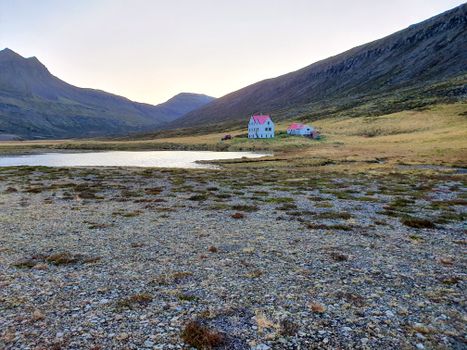
 Road
 Weather


Map of Kröflustöð
Map
65.7027°N, 16.7749°W · North Iceland
Plan your visit
 Off the main road
- 6 km from Route 1
 Nearest town
- Reykjahlíð — 9.2 km away
 Distance from Reykjavík
- 299 km in a straight line
 What else is close
- 233 mapped places within 20 km
Tours near Kröflustöð
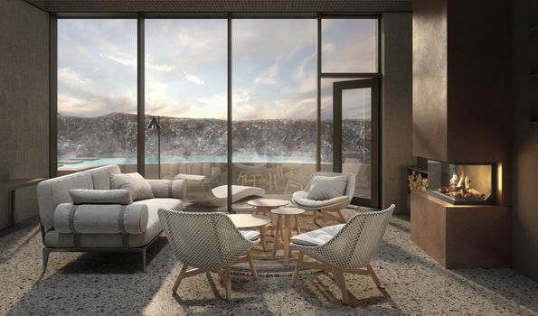 Earth Exclusive - Earth lagoon Myvatnfrom 52.000 ISK · 4 h
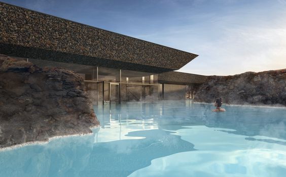 Earth Essential - Earth Lagoon Mývatnfrom 7.900 ISK · 1 h 30 min
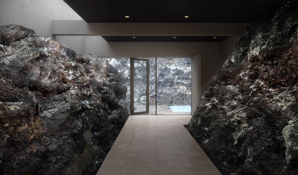 Earth Signature - Earth Lagoon Mývatnfrom 9.900 ISK · 1 h 30 min
 Snowshoeing in Krafla volcanic areafrom 18.900 ISK · 3 h
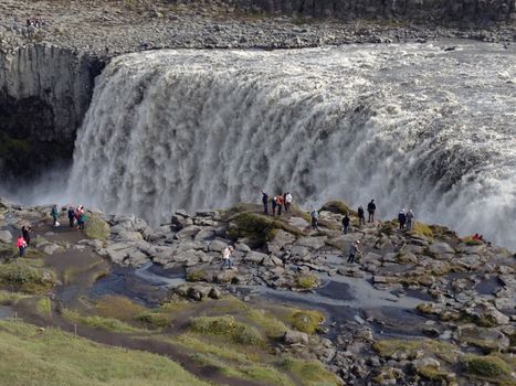 Lake Myvatn and Dettifoss Waterfall (from Lake Myvatn)from 39.900 ISK · 6 h
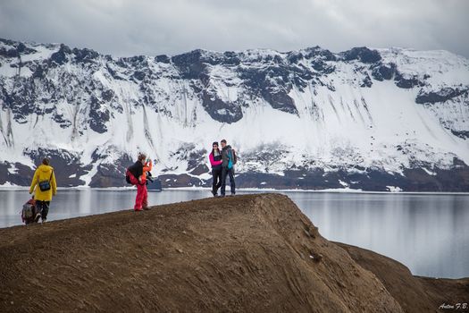 Askja & Herðubreið Super Jeep Tourfrom 59.900 ISK · 12 h
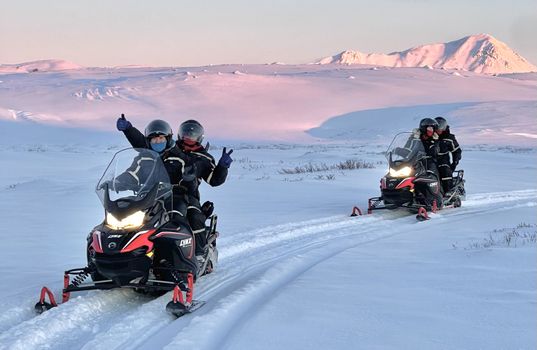 Lake Mývatn 1.Hour Snowmobile Safarifrom 29.900 ISK · 1 h 30 min
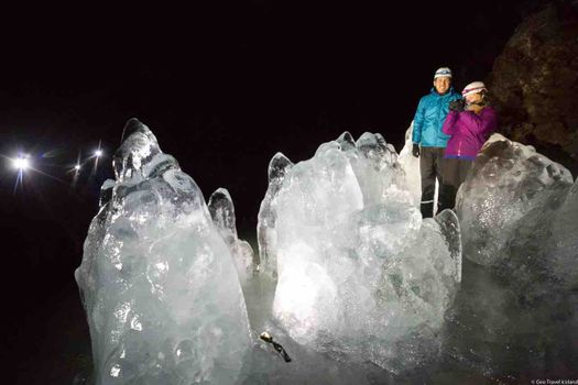 Lofthellir Ice-Cave Exploration - Super Jeep Tourfrom 49.900 ISK · 4 h 30 min
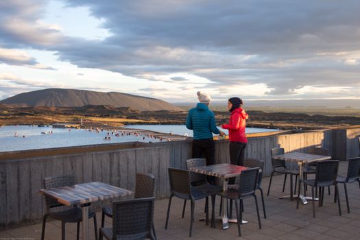 Bike and Bathfrom 18.900 ISK · 3 h
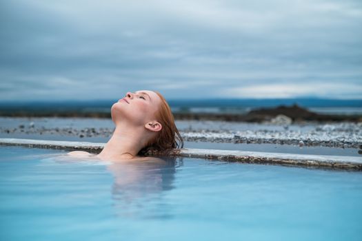 Godafoss Waterfall & Earth Lagoon (Myvatn Nature Baths) Tour with Admissionfrom 28.990 ISK · 6 h
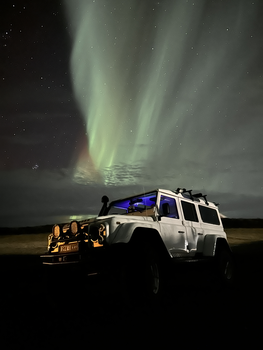 Northern Lights 4x4 Tour from Akureyrifrom 34.799 ISK · 2 h 30 min
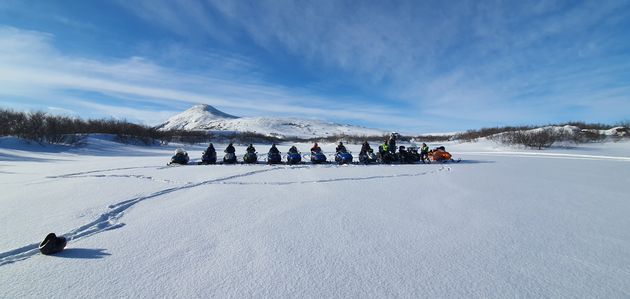 Lake Mývatn & Snowmobile Tour from Akureyrifrom 59.900 ISK · 9 hAll 1,631 toursBy activity and region
Kröflustöð weather and conditions
Last updated
2°Clight drizzle · feels -1°C1 m/swind8 h 30 mdaylight · 08:36 – 17:06

Tonight
Northern lights forecast by region
In season now · Winter in IcelandGodafoss Waterfall & Earth Lagoon (Myvatn Nature Baths) Tour with Admissionfrom 28.990 ISK · 6 hAll 1,631 tours
Cars & campers
−12%exclusive discountFree cancellation KEF airport pickup 24/74.8
 Transmission
 Fuel
 Seats
 Drive


 Sleeps
Photos & videos
No verified videos yet — we only show footage confirmed to be Kröflustöð, no lookalikes. Search YouTube
Nearby
km column = your drive
- 1Fuglasafn Sigurgeirs13 km
- 2
 Grenjaðarstaður29 km
- 3Ystafell Transporation museum38 km
- 4Ystafell Transportation Museum38 km
- 5Safnahúsið46 km

 Waterfalls


 Hot springs
- 1Geothermal hot spring near Þingeyjarsveit2 km
- 2
 Grjótagjá10 km
- 3Stóragjá Cave11 km

 Fuel

 Supermarkets


 Tours
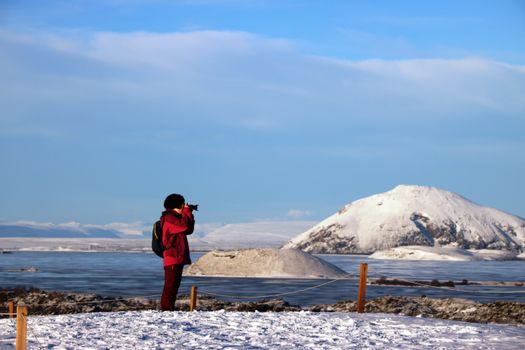 (Cruise Ships) Lake Mývatn and Goðafossfrom 25.300 ISK · 6 hours 30 minutes
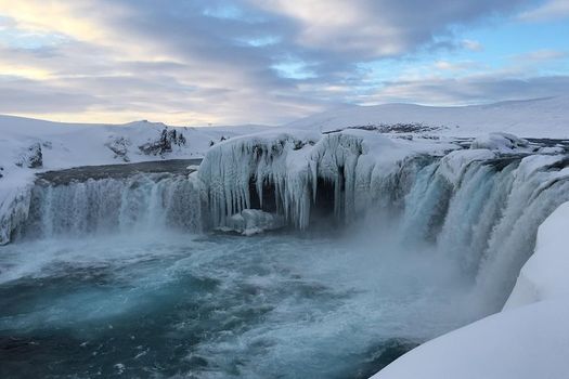 (RS) Lake Myvatn & Godafoss Waterfall Day Tour from Akureyrifrom 25.900 ISK · 6 hours
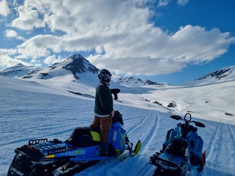 Adventure snowmobile tour Akureyrifrom 166.750 ISK · 5 hours
Frequently
asked
questions
Where is Kröflustöð?
Kröflustöð is in North Iceland, Iceland. Use the map and directions on this page to plan your drive — check live road conditions first, especially outside summer.
Is there an entry fee at Kröflustöð?
We don't have a confirmed entry fee for Kröflustöð. Many smaller Icelandic museums charge a modest fee and keep seasonal hours — check the museum's website before you go.
What are the opening hours of Kröflustöð?
Listed opening hours for Kröflustöð: Jun-Aug: Mo-Su 10:00-17:00. Hours are often seasonal and reduced in winter — confirm on the museum's own website before travelling.
Is Kröflustöð wheelchair accessible?
We don't have confirmed accessibility information for Kröflustöð. Many historic and turf-built Icelandic museums have steps or uneven ground — contact them directly if you have specific access needs.
Data & sources
Everything on this page comes from the sources below. Live feeds refresh automatically.
 Wikimedia CommonsHero & gallery photography · Villy Fink Isaksen · Wikimedia Commons · CC BY-SA 4.0
 VegagerðinVisitor access & practical facts
 VegagerðinLive road status & cameras · Icelandic Road Administration
 Open-MeteoWeather forecast · CC BY 4.0
 NOAA SWPCAurora (planetary Kp) forecast · public domain
 OpenStreetMapInteractive-map data · ODbL
 Esri, Maxar & Earthstar GeographicsSatellite imagery for the 3D terrain render · GIS User Community
Spotted an error, or have something to add? Help us keep this page accurate.
Iceland nowfrom 19 Sep 06:10