Iceland waterfalls map
Where the falls actually are — an interactive map instead of a screenshot, and the coordinates written out so you can drive to them.
We map 425 named waterfalls across Iceland, in 7 regions. The map below is interactive — every one of them is a pin you can tap through to. The coordinate table further down gives decimal latitude and longitude for the 12 falls people search for by name, so you can put a pair straight into a sat-nav. Heights appear for the 48 records where our source publishes one; the rest say “not recorded”, because guessing a height is how a waterfall grows forty metres between one website and the next.
Ring Road (R1) openHighlands: 1 of 7 monitored roads closed or impassableVegagerðin, updated just now
The interactive waterfall map
All 425 falls on the same map as every other place we hold — tap a pin for the fall's page, the drive there and what the road is actually like.
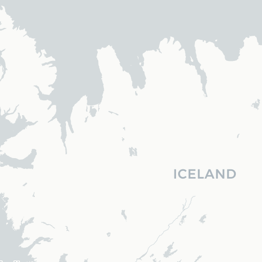 425 waterfallsOpen the waterfall map
| Region | Falls mapped | The ones people look for | Map |
|---|---|---|---|
| West Iceland | 183 | Glymur, Hraunfossar, Kirkjufellsfoss | Open |
| South Coast | 83 | Seljalandsfoss, Skógafoss, Kvernufoss, Morsárfoss, Gullfoss | Open |
| East Iceland | 51 | Litlanesfoss | Open |
| North Iceland | 37 | Dettifoss, Aldeyjarfoss | Open |
| Westfjords | 34 | — | Open |
| Reykjavík Area | 23 | Öxarárfoss | Open |
| Highlands | 14 | — | Open |
West Iceland carries the largest count, which surprises people who expect the South Coast to win — it is a big region with a lot of small named falls, while the South Coast has fewer falls that far more people have heard of. Region pages list every fall in that region; the map link opens the same interactive map centred there with the waterfall layer already on.
Region is where a fall sits in our data, not a claim about which tour sells it. A handful of same-name falls exist in more than one region — Iceland reuses names like Selfoss, Sjávarfoss and Rjúkandi freely — so trust the coordinate, not the name.
| Waterfall | Region | Latitude | Longitude | Height |
|---|---|---|---|---|
| Seljalandsfoss | South Coast | 63.6155 | -19.9882 | 60 m |
| Skógafoss | South Coast | 63.5321 | -19.5113 | 60 m |
| Kvernufoss | South Coast | 63.5287 | -19.4805 | 30 m |
| Morsárfoss | South Coast | 64.1128 | -16.8866 | 240 m |
| Gullfoss | South Coast | 64.3266 | -20.1217 | 32 m |
| Öxarárfoss | Reykjavík Area | 64.2658 | -21.1180 | 20 m |
| Dettifoss | North Iceland | 65.8143 | -16.3844 | 44 m |
| Aldeyjarfoss | North Iceland | 65.3664 | -17.3370 | 20 m |
| Litlanesfoss | East Iceland | 65.0837 | -14.8831 | 30 m |
| Glymur | West Iceland | 64.3908 | -21.2515 | 198 m |
| Hraunfossar | West Iceland | 64.7026 | -20.9806 | Not recorded |
| Kirkjufellsfoss | West Iceland | 64.9262 | -23.3124 | 5 m |
Decimal degrees, WGS-84 — the format every phone map and rental sat-nav accepts. Paste the pair with a comma between them. The coordinate points at the waterfall, which is not always where you park: at Gullfoss, Skógafoss, Seljalandsfoss, Goðafoss and Dettifoss the car park is signed off the road within a short walk, and everywhere else you drive to the nearest road access and walk in.
A coordinate says nothing about whether today’s road to it is open. Morsárfoss and the Highlands falls in this table sit behind gravel and F-roads that are shut for much of the year; check today’s road conditions and the F-road status before you set off, and use can I drive there today? for a verdict on the actual route. Morsárfoss in particular is a glacier-fed fall seen from a distance on foot in Skaftafell, not a roadside stop.
Frequently
asked questions
Is there a map with all the waterfalls in Iceland on it?
What are the GPS coordinates for Iceland's famous waterfalls?
Can I download the waterfall map for offline use?
Which waterfalls are right beside the Ring Road?
Do I need a 4x4 to reach the waterfalls on this map?
How accurate are the coordinates?
Cars & campers
 KEF airport pickup 24/74.8
 Transmission
 Fuel
Fuel Seats
Seats Drive
Drive

 Sleeps
Tours near Iceland's waterfalls
 Small groups
 Duration
 Highlights
 Type
Type