


Seljalandsfoss


 Road loading…
 Weather loading…


 WaterfallSouth Coast
Seljalandsfoss

About
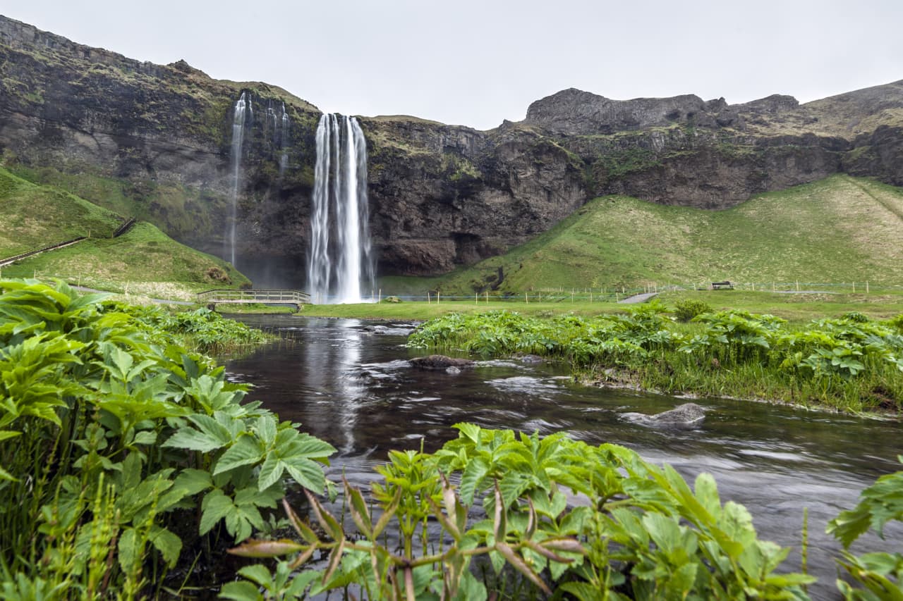
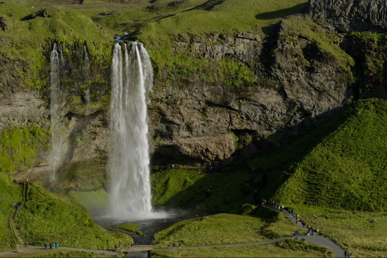
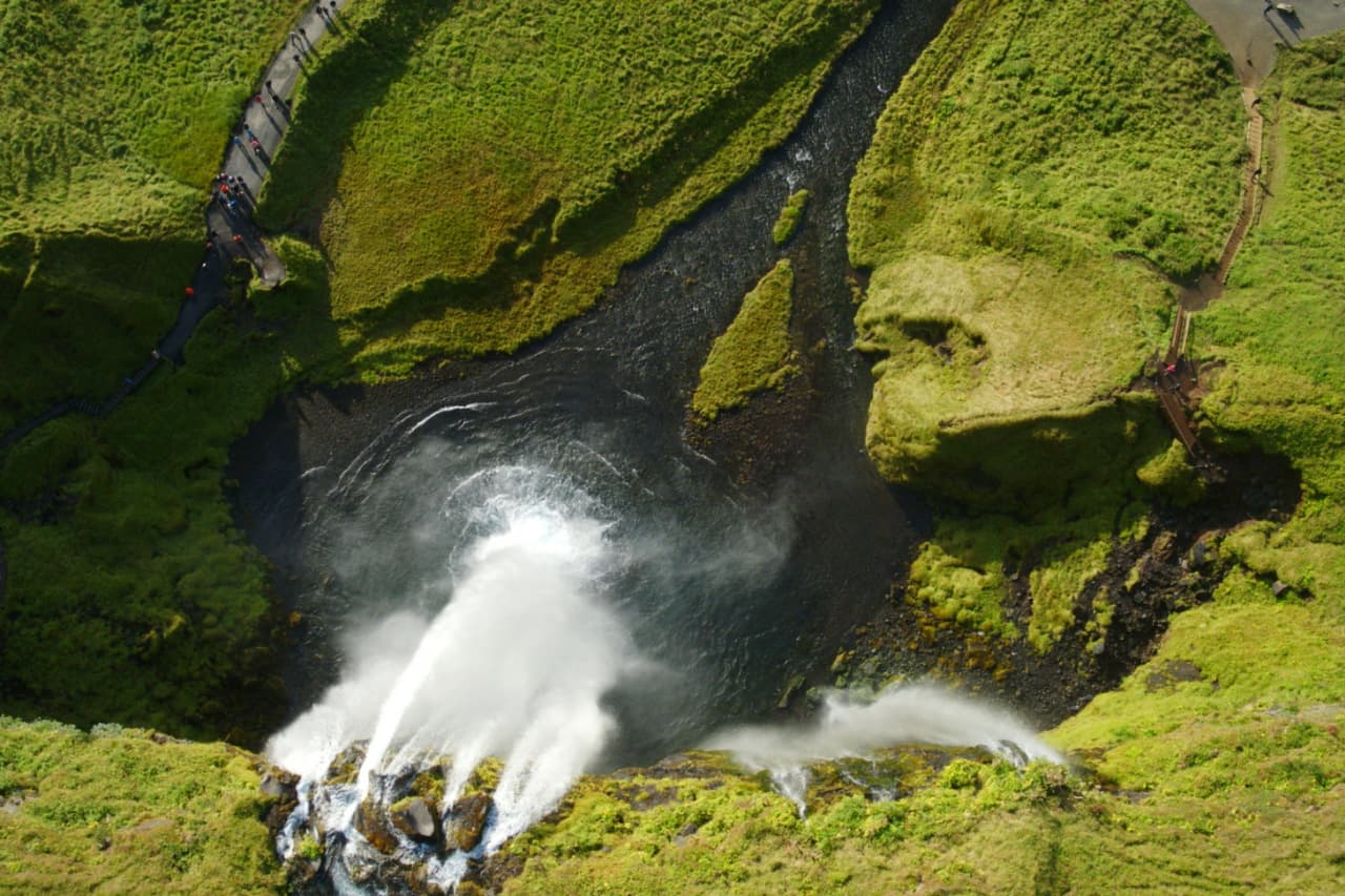
Seljalandsfoss is a 60-meter waterfall on the Seljalandsá river in Iceland's South Coast.
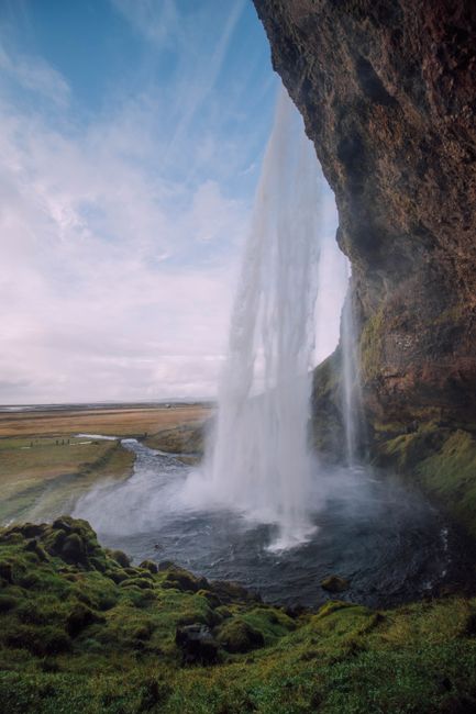
A 60-meter waterfall you can actually walk behind. Seriously — there's a path that takes you right behind the curtain of water. Not many waterfalls in Iceland let you do that.
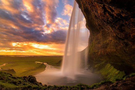
Standing behind 60 meters of falling water is genuinely something. The light comes through the curtain, everything's misty and loud. Best at sunset when the light turns golden.
Seljalandsfoss drops from the cliffs that used to be Iceland's coastline thousands of years ago. The Seljalandsá river feeds it from Eyjafjallajökull glacier — yeah, that volcano. The cave behind the falls was carved out over centuries by the water itself.
You WILL get wet walking behind it. Like, properly soaked. Bring a waterproof jacket or accept your fate. The path can be slippery, especially in winter — some people skip the walk-behind when it's icy. Also: don't miss Gljúfrabúi, a hidden waterfall just 5 minutes walk north. Most tourists miss it.
Map of Seljalandsfoss
63.6155°N, 19.9882°W · South Coast
Plan your visit
 Getting there
- Route 1 (Ring Road), via the farm of Seljaland · ~30 km west of Skógar
 The walk
- You can walk behind the falls
 Heads up
- In winter paths can be slippery and falling ice is a hazard as mist freezes on the cliffs; respect path closures
 Off the main road
- 0.8 km from Route 1
 Nearest town
- Hvolsvöllur — 19.2 km away
 Distance from Reykjavík
- 112 km in a straight line
 What else is close
- 133 mapped places within 20 km
 Good to know
- Only known waterfall where you can walk behind itSits at the base of Eyjafjallajökull glacierNear the access road to Thorsmork (Þórsmörk)
Tours that include Seljalandsfoss
 Blue Ice - Glacier Hike & Ice Climbing from Reykjavíkfrom 32.990 ISK · 13 h 30 min
 South Coast day tour in a small groupfrom 20.990 ISK · 10 h
 Katla Ice Cave South Coast - Day Tour from Reykjavikfrom 37.532 ISK · 12 h
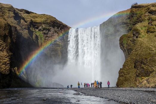 South Coast Wondersfrom 16.999 ISK · 10 h 30 min
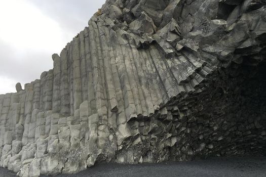 South Coast tour from Reykjavík in minibusfrom 19.200 ISK · 9 h 30 min
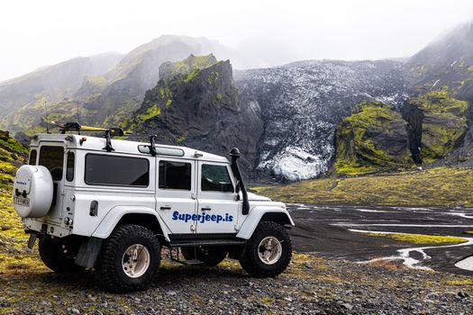 Thorsmork and Eyjafjallajokullfrom 52.900 ISK · 8 h
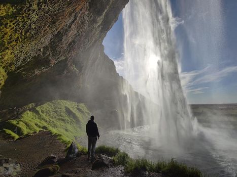 South Coast Waterfalls, Black Beach and Glacier Adventure | Small Group Day Tourfrom 17.900 ISK · 11 h
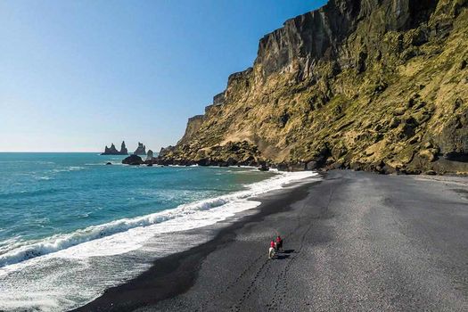 South Coast Waterfalls & Black Beach Horse Ridingfrom 19.990 ISK · 11 h
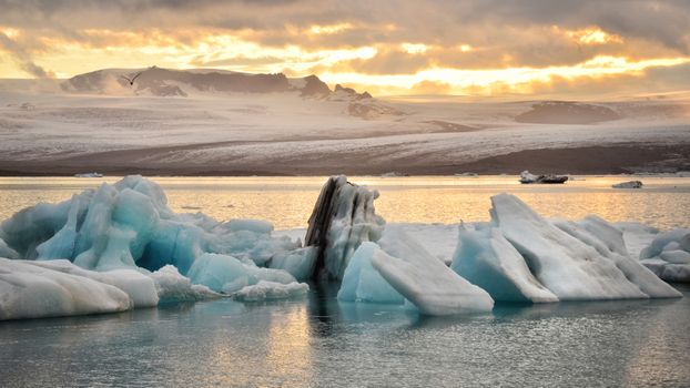 Glacier Lagoon Tourfrom 29.300 ISK · 15 h
 Solheimajokull Ice Climbing & Glacier Hikefrom 31.381 ISK · 4 h
 Early Bird Ice Cavefrom 25.000 ISK · 3 h 30 min
 Laugarás Lagoon Birki - Premium Lagoonfrom 9.900 ISK · 2 hAll 1,648 toursBy activity and region
Seljalandsfoss weather and conditions
Last updated

Cars & campers
 KEF airport pickup 24/74.8
 Transmission
 Fuel
Fuel Seats
Seats Drive
Drive

 Sleeps
Photos & videos

Nearby
km column = your drive
- 1
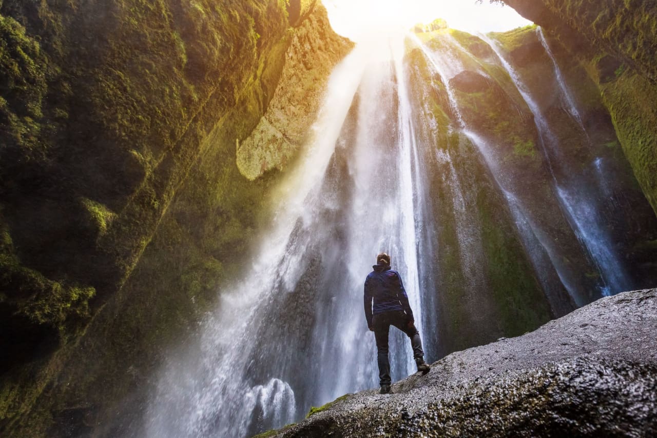 Gljúfrabúi1 km
 - 2
 Drífandi2 km
 - 3
 Írárfoss9 km
 - 4Nauthúsafoss9 km
- 5
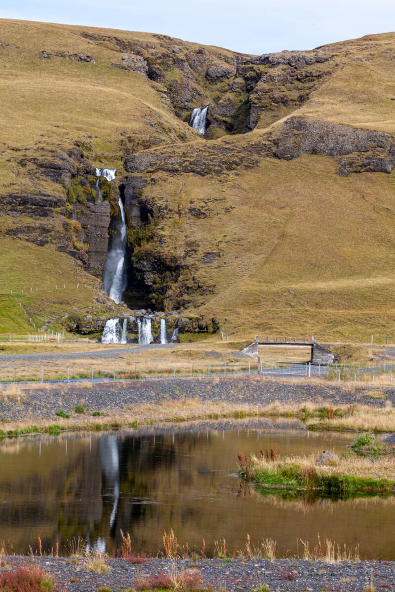 Gluggafoss13 km

 Hot springs
- 1Geothermal hot spring near Hvolsvöllur19 km
- 2
Seljavallalaug20 km
- 3Geothermal hot spring near Vestmannaeyjabær25 km

 Fuel
Fuel
- 1
 Hvolsvöllur19 km · 310.9 kr/L
 - 2
 Vestmannaeyjar24 km · 308.7 kr/L
 - 3Hella31 km · 308.6 kr/L
 Supermarkets


 Tours
Tours
 Adrenaline Combo: Off-Road Buggy & Mega Zipline Experiencefrom 29.300 ISK · 3 hours
  Buggy Adventure in Þórsmörkfrom 89.990 ISK · 5 hours
  Bus transfer from Landmannalaugar to Hella / Reykjavikfrom 12.220 ISK · 4 hours
Frequently
asked
questions
Can you walk behind Seljalandsfoss?
Is Seljalandsfoss free to visit?
What should I wear to Seljalandsfoss?
What's the best time to visit?
Is Gljúfrabúi worth visiting too?
Where is Seljalandsfoss on the map?
Data & sources
Everything on this page comes from the sources below. Live feeds refresh automatically.
 UnsplashHero & gallery photography · Andrey Andreyev / Unsplash
 Visit South Iceland (south.is)Visitor access & practical facts
 WikipediaEncyclopedic description · CC BY-SA 4.0
 VegagerðinLive road status & cameras · Icelandic Road Administration
 Open-MeteoWeather forecast · CC BY 4.0
 NOAA SWPCAurora (planetary Kp) forecast · public domain
 OpenStreetMapInteractive-map data · ODbL
 Esri, Maxar & Earthstar GeographicsSatellite imagery for the 3D terrain render · GIS User Community
Spotted an error, or have something to add? Help us keep this page accurate.