





 Road
Road  Weather


About
Road to 100+ lakes. But you have to earn them.
The land of 100 lakes rewards survivors.
Leads to fishing lodges if you can get past the entrance exam.
The Nórðingafljót river beats more people than it lets through. Turn back if unsure. Seriously.
Map of Arnarvatnsvegur
65.0000°N, 21.5000°W · Westfjords
Plan your visit
 Off the main road
- 4.1 km from Route 60
 Nearest town
- Búðardalur — 17.4 km away
 Distance from Reykjavík
- 97 km in a straight line
 What else is close
- 60 mapped places within 20 km
Tours near Arnarvatnsvegur
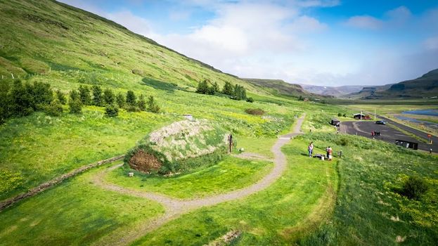 Experience the Settlement Period Farm of Eirik the Red and Leif Eirikssonfrom 2.900 ISK · 1 h
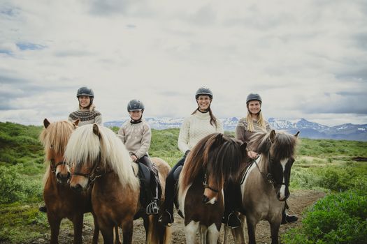 1,5h Trail Ride for All Levelsfrom 16.500 ISK · 1 h 30 min
 Farm visit to Hestalandfrom 4.500 ISK · 1 h
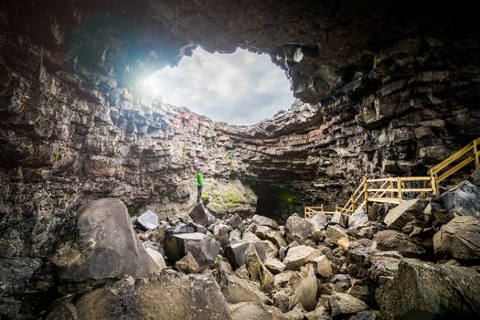 Cave Explorerfrom 9.000 ISK · 1 h 30 min
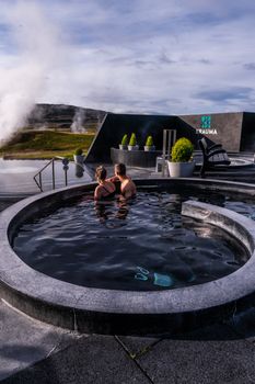 Krauma nature baths - Admission feefrom 7.900 ISK · 1 h
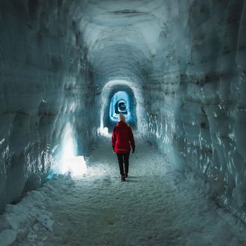 Into The Glacier - From Húsafellfrom 27.900 ISK · 4 h
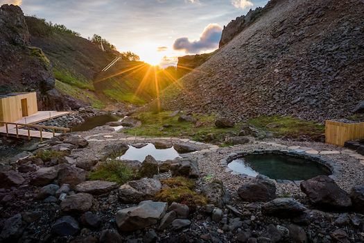 Husafell Canyon Bathsfrom 10.900 ISK · 1 h 45 min
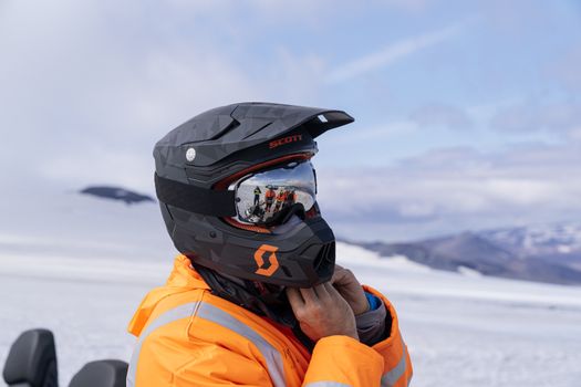 Into The Glacier - With Snowmobiling From Húsafellfrom 36.900 ISK · 4 h 30 min
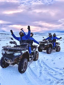 ATV Quad Adventure in Húsafell: Rivers & Mountain Viewsfrom 17.990 ISK · 1 h
 Blue Ice - Glacier Hike & Ice Climbing from Reykjavíkfrom 32.990 ISK · 13 h 30 min
 Golden Circle and Laugarás Lagoon Lerki Admissionfrom 23.039 ISK · 9 h 30 min
 Spirit of the Aurora (28 person max vehicle)from 14.990 ISK · 5 hAll 1,648 toursBy activity and region
Is F578 open right now?
Live from Vegagerðin, the authority that opens and closes this road. Every other highland road is on the live F-road map.
1 highland road reported · 1 not reported · Vegagerðin, updated 3 min ago
| F-road | Status now | Vegagerðin's wording |
|---|---|---|
| F578 Arnarvatnsvegur | Not reported | Óþekkt |
F578 typically opens late June–early July and closes by September–October — always confirm on road.is before you drive.
Arnarvatnsvegur weather and conditions
Last updated

Cars & campers
 KEF airport pickup 24/74.8
 Transmission
 Fuel
Fuel Seats
Seats Drive
Drive

 Sleeps
Photos & videos
Nearby
 Waterfalls


 Hot springs
All hot springs →
 Fuel
Fuel
- 1
 Búðardalur17 km · 308.7 kr/L
 - 2
 Staðarskáli25 km · 310.9 kr/L
 - 3Hreðavatnsskáli26 km · 303.6 kr/L
 Supermarkets
 Tours
Tours
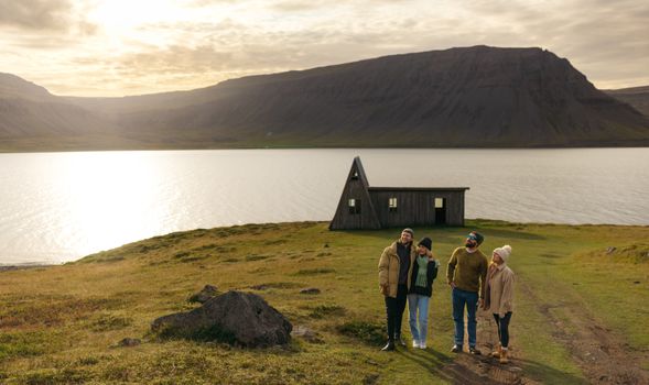 Avoid the crowdsfrom 60.000 ISK · 6 hours
 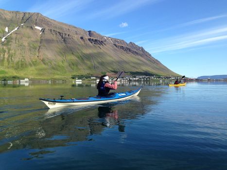 Bike and Kayak Combofrom 27.900 ISK · 7 hours
 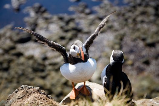 BIRD CLIFFS & BEAUTIFUL BEACHES - bikingfrom 36.800 ISK · 9 hours
Frequently
asked
questions
What car do I need for F578?
Can I drive F578 in a 2WD car?
When does F578 open?
How do I get to F578?
Is river-crossing damage covered by rental insurance on F578?
Data & sources
Everything on this page comes from the sources below. Live feeds refresh automatically.
 Wikimedia CommonsHero & gallery photography · Rémih · Wikimedia Commons · CC BY-SA 4.0
 VegagerðinVisitor access & practical facts
 VegagerðinLive road status & cameras · Icelandic Road Administration
 Open-MeteoWeather forecast · CC BY 4.0
 NOAA SWPCAurora (planetary Kp) forecast · public domain
 OpenStreetMapInteractive-map data · ODbL
 Esri, Maxar & Earthstar GeographicsSatellite imagery for the 3D terrain render · GIS User Community
Spotted an error, or have something to add? Help us keep this page accurate.