



 Road
Road  Weather


Map of Vattarnes
Map
65.6198°N, 22.7209°W · Westfjords
Plan your visit
 Getting there
- Road 60 (Skálmardalsá-Flókalundur)
 Off the main road
- 0.2 km from Route 60
 Nearest town
- Flatey — 28.6 km away
 Distance from Reykjavík
- 168 km in a straight line
 What else is close
- 33 mapped places within 20 km
Tours near Vattarnes
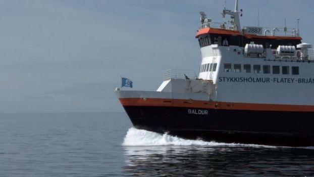 Brjánslækur - Flateyfrom 3.560 ISK · 1 h
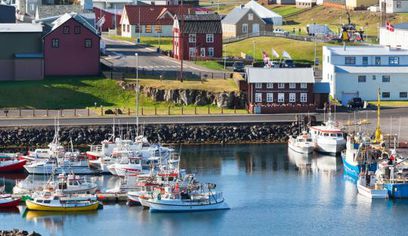 Brjánslækur - Flatey - Stykkishólmurfrom 6.300 ISK · 2 h 30 min
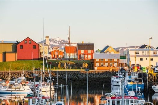 Flatey - Stykkishólmurfrom 4.320 ISK · 1 h 30 min
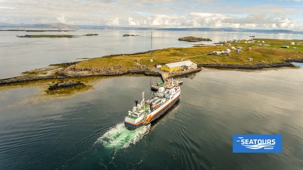 Flatey - Brjánslækurfrom 3.560 ISK · 1 h
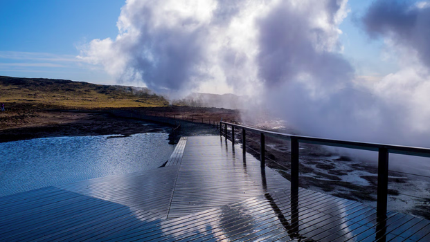 Embark on an exhilarating journey through the Reykjanes Peninsula,from 42.990 ISK · 8 h
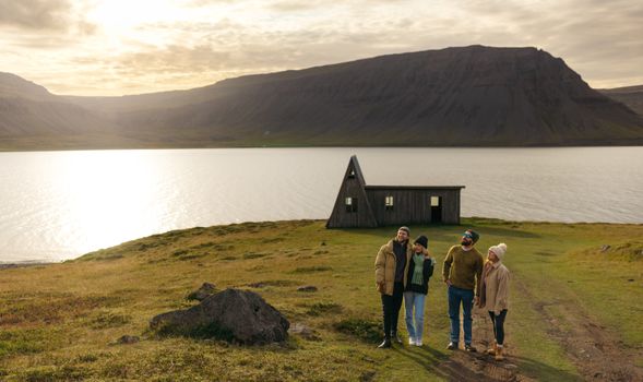 Avoid the crowdsfrom 60.000 ISK · 6 h
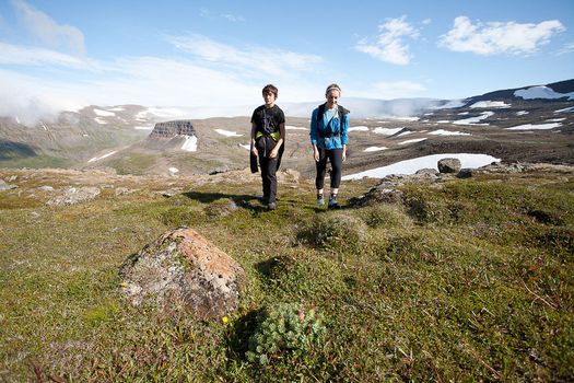 Hornstrandir Panoramafrom 63.100 ISK · 10 h
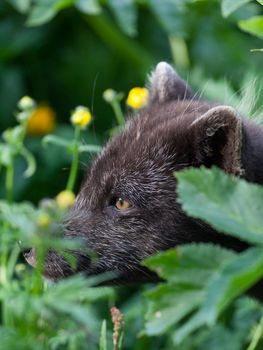 Wildlife and Arctic Foxesfrom 63.100 ISK · 10 h
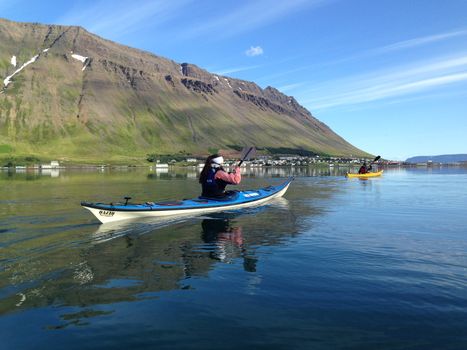 Bike and Kayak Combofrom 27.900 ISK · 7 h
 Blue Ice - Glacier Hike & Ice Climbing from Reykjavíkfrom 32.990 ISK · 13 h 30 min
 Golden Circle and Laugarás Lagoon Lerki Admissionfrom 23.039 ISK · 9 h 30 min
 Spirit of the Aurora (28 person max vehicle)from 14.990 ISK · 5 hAll 1,648 toursBy activity and region
Vattarnes weather and conditions
Last updated
6°Clight drizzle · feels 0°C8 m/sgusts 129 h 41 mdaylight · 08:26 – 18:07

Tonight
Northern lights forecast by region
In season now · Winter in IcelandBlue Ice - Glacier Hike & Ice Climbing from Reykjavíkfrom 32.990 ISK · 13 h 30 minAll 1,648 tours
Cars & campers
−12%exclusive discountFree cancellation KEF airport pickup 24/74.8
KEF airport pickup 24/74.8
 Transmission
 Fuel
Fuel Seats
Seats Drive
Drive

 Sleeps
Photos & videos
No verified videos yet — we only show footage confirmed to be Vattarnes, no lookalikes. Search YouTube
Nearby
km column = your drive
- 1Langeyri46 km
- 2Spillir68 km
- 3
 Drífa69 km
 - 4Blakknes74 km
- 5Sléttaeyri76 km

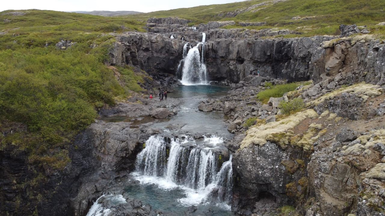
 Waterfalls

 Hot springs
- 1Heydalur Hot Spring18 km
- 2Geothermal hot spring near Reykhólahreppur21 km
- 3
Hellulaug21 km

 Fuel
Fuel
- 1
 Flókalundur21 km · 310.9 kr/L
 - 2Bjarkalundur29 km · 310.9 kr/L
- 3Reykhólar30 km · 310.9 kr/L
 Supermarkets

 Tours
Tours
- Avoid the crowdsfrom 60.000 ISK · 6 hours
- Bike and Kayak Combofrom 27.900 ISK · 7 hours
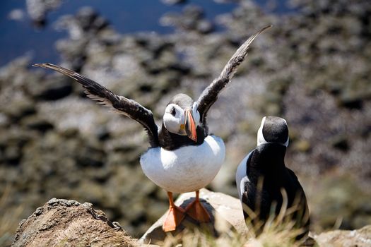 BIRD CLIFFS & BEAUTIFUL BEACHES - bikingfrom 36.800 ISK · 9 hours
Frequently
asked
questions
Where is Vattarnes?
Vattarnes is a cape on the coast of Westfjords, Iceland. Check the map on this page for its exact position and the route in.
How do I get to Vattarnes?
Vattarnes is in Westfjords. Some Iceland headlands are reached on paved roads, others by gravel tracks that end at a small car park. Check live road conditions on this page before you drive.
Can you see puffins at Vattarnes?
Many Icelandic capes hold seabird colonies, and puffins are ashore from roughly April to mid-August. Whether Vattarnes has them depends on the spot — keep well back from cliff edges, which can be undercut.
Is Vattarnes safe to visit?
Take care at any Icelandic cape: cliff edges are wind-exposed and can be undercut, and low points on the south coast are exposed to sneaker waves that surge up the shore without warning. Stay back from edges and never turn your back on the sea.
Data & sources
Everything on this page comes from the sources below. Live feeds refresh automatically.
 Wikimedia CommonsHero & gallery photography · Diego Delso · Wikimedia Commons · CC BY-SA 4.0
 VegagerðinVisitor access & practical facts
 VegagerðinLive road status & cameras · Icelandic Road Administration
 Open-MeteoWeather forecast · CC BY 4.0
 NOAA SWPCAurora (planetary Kp) forecast · public domain
 OpenStreetMapInteractive-map data · ODbL
 Esri, Maxar & Earthstar GeographicsSatellite imagery for the 3D terrain render · GIS User Community
Spotted an error, or have something to add? Help us keep this page accurate.
Iceland nowfrom 19 Sep 06:10