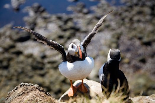
Steinninn · Wikimedia Commons · CC BY 4.0
 Murray Foubister · Wikimedia Commons · CC BY-SA 2.0
 Diego Delso · Wikimedia Commons · CC BY-SA 4.0
Westfjords Capes
9 mapped

9 capes in Westfjords — mapped with live road conditions, drive times, and directions.
9 capes in Westfjords, led by Bjargtangar. All mapped with drive times, directions, and live road conditions.
9 capes in Westfjords
Distances on the cards are straight-line from Reykjavík.

Bjargtangar
194 km from Reykjavík
Bjargtangar is the westernmost point of Iceland and is considered the westernmost point of Europe outside the mid-Atlantic archipelago of Azores. It is the westernmost point in the Greenwich Mean Time (GMT) time zone.
Langeyri
214 km from Reykjavík
Sléttaeyri
244 km from Reykjavík
Cape or headland in the Westfjords. Marks Iceland's coastal features.
Cars & campers
−12%exclusive discountFree cancellation KEF airport pickup 24/74.8
KEF airport pickup 24/74.8
 Transmission
 Fuel
Fuel Seats
Seats Drive
Drive

 Sleeps
Tours near Westfjords
Free cancellation Small groups
Small groups
 Duration
 Highlights
 Type
Type