




 Road
Road  Weather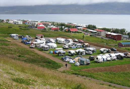


About
Neskaupstaður's campsite is set high in the town on Víðimýri street, beside the avalanche dam below the Drangagil ravine — walk up onto the dam for a view over town, mountains and bay. The town runs three summer festivals and hosts three museums under one roof. Open June through August.
Neskaupstaður's site sits in the upper part of town on Víðimýri street, and the view is the first thing you notice. It runs alongside the big avalanche protection dam below the Drangagil ravine; climb onto the dam itself and the panorama over the town, mountains and bay opens right up. Down by the old harbour, the restored Museum House holds three collections in one — an art collection devoted to Tryggvi Ólafsson, plus Jósafat Hinriksson's seafaring and smithy collection, and the town's natural history museum. There's a golf course, fishing, horse rental and a playground around the site. Time your visit and you might catch one of the town's three summer festivals: Sailors' Day in early June, the Eistnaflug metal festival in mid-July, or the Neistaflug family weekend at the start of August. The season runs June to the end of August.
Camping cards can save you money if you're spending multiple nights in the tent. Do the math.
Map of Neskaupstaður
65.1508°N, 13.6792°W · East Iceland
Plan your visit
 Season
- June 1 - August 31
 Walk-ins
- Not accepted — book ahead
 Advance booking
- Available — book online
 Off the main road
- 11.6 km from Route 92
 Nearest town
- Neskaupstaður — 0.9 km away
 Distance from Reykjavík
- 409 km in a straight line
 What else is close
- 135 mapped places within 20 km
Tours near Neskaupstaður
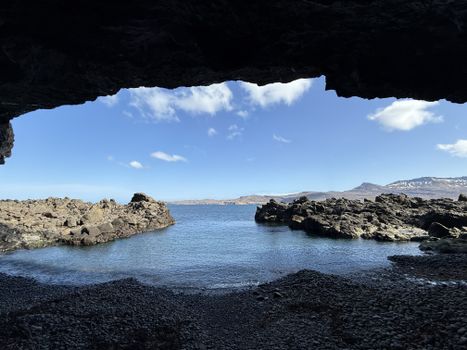 Nature Tour by RIB Boat - from Neskaupstaður- includes Páskahellir, Nípan, Rauðubjörg & Hellisfjörðurfrom 18.490 ISK · 1 h
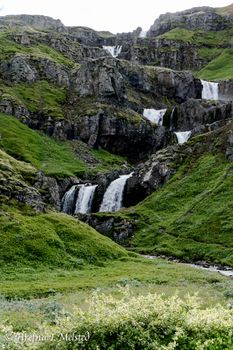 Mjóifjörður Super Jeep Tour - Eskifjörðurfrom 42.000 ISK · 5 h
 Abandoned Fjords Super Jeep Tourfrom 42.000 ISK · 5 h
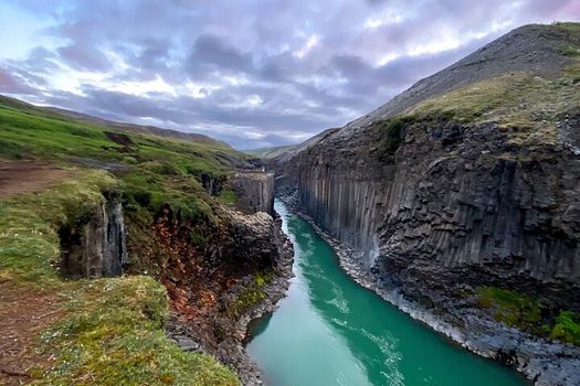 Stuðlagil Canyon Hike and Vök Baths - Shore Excursionfrom 49.900 ISK · 7 h
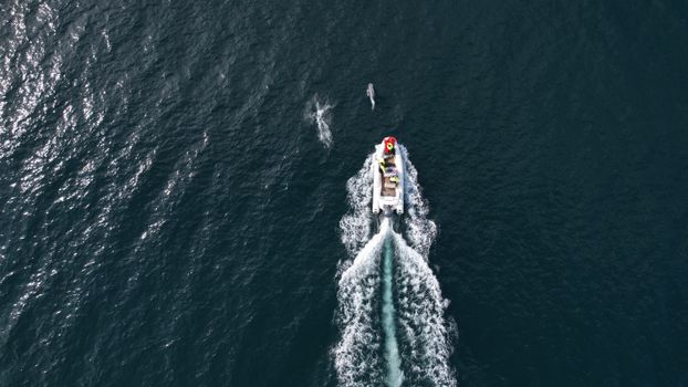 Viking Wildlife RIB Adventurefrom 35.000 ISK · 2 h
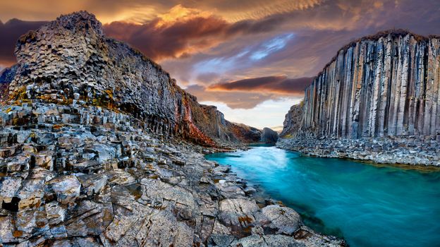 Seyðisfjörður: Hidden Stuðlagil Canyon & Reindeer Tourfrom 25.990 ISK · 6 h
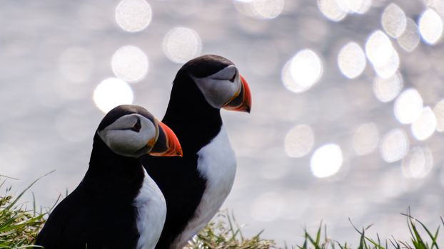 Seyðisfjörður: Puffins, Reindeer & Eastfjords Tourfrom 25.990 ISK · 6 h
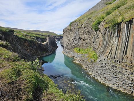 Stuðlagil - The gem of East Icelandfrom 50.000 ISK · 6 h
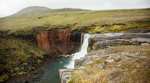 Wonders of the Wilderness - Seyðisfjörðurfrom 61.000 ISK · 10 h
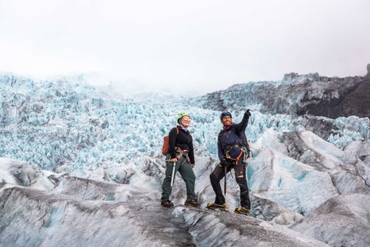 Skaftafell 5-Hours Adventure Glacier Hikefrom 20.775 ISK · 5 h
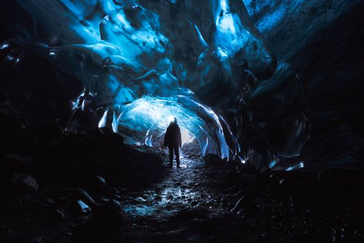 Skaftafell Blue Ice Cave and Glacier Walk Tourfrom 19.999 ISK · 3 h
 Northern Lights Chase from Glacier Lagoonfrom 25.000 ISK · 5 hAll 1,648 toursBy activity and region
Amenities
 Shower
 Cold water
 Hot water
 Toilets
 Walking paths
 Horse rental
 Playground
 Golf course
 Food service
 Fishing
Facilities listed by tjalda.is
Neskaupstaður weather and conditions
Last updated
- Adults, 16 years and older 2.000 kr + Overnight stay tax
- 2,000 ISK
- Electricity> 1000 kr per day
- 1,000 ISK
- Elderly people: 1.750 kr. + Overnight stay tax
- Free for children under 16 years old.
Rates via tjalda.is · retrieved 2026-07-17

Cars & campers
 KEF airport pickup 24/74.8
 Transmission
 Fuel
Fuel Seats
Seats Drive
Drive

 Sleeps
Photos & videos
Nearby
km column = your drive
- 1Tjaldsvæðið Norðfjarðar< 1 km
- 2
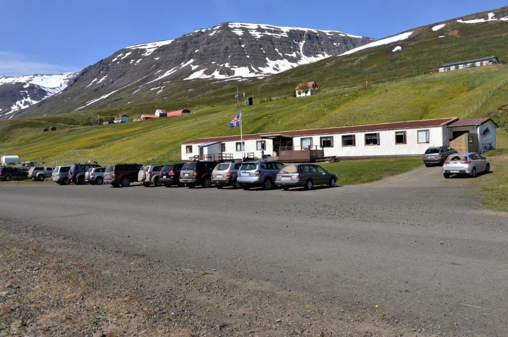 Sólbrekka, Mjóafirði8 km
 - 3
CampEast - Eskifjörður18 km
- 4Tjaldsvæðið við Bleiksána18 km
- 5
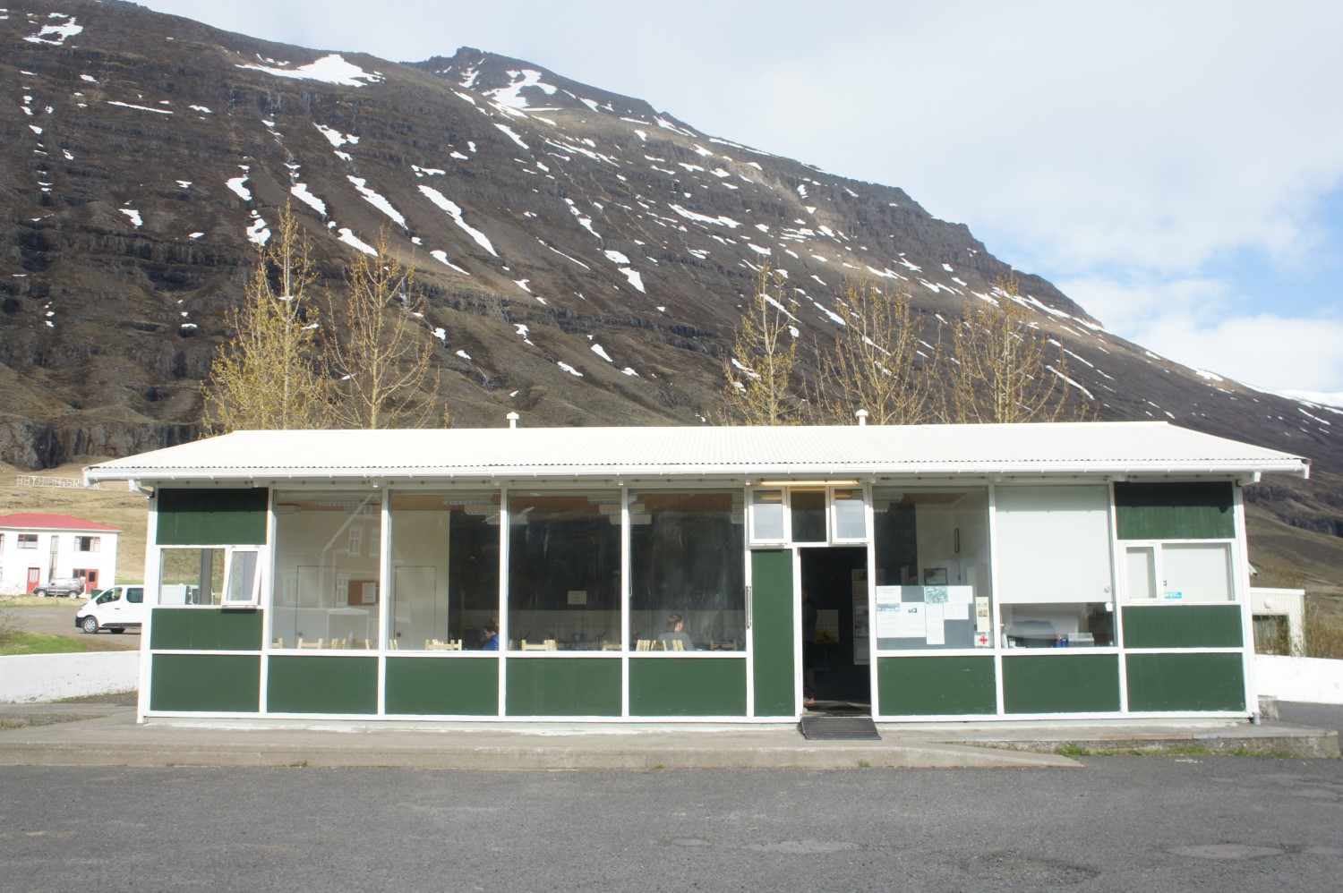 Seyðisfjörður20 km

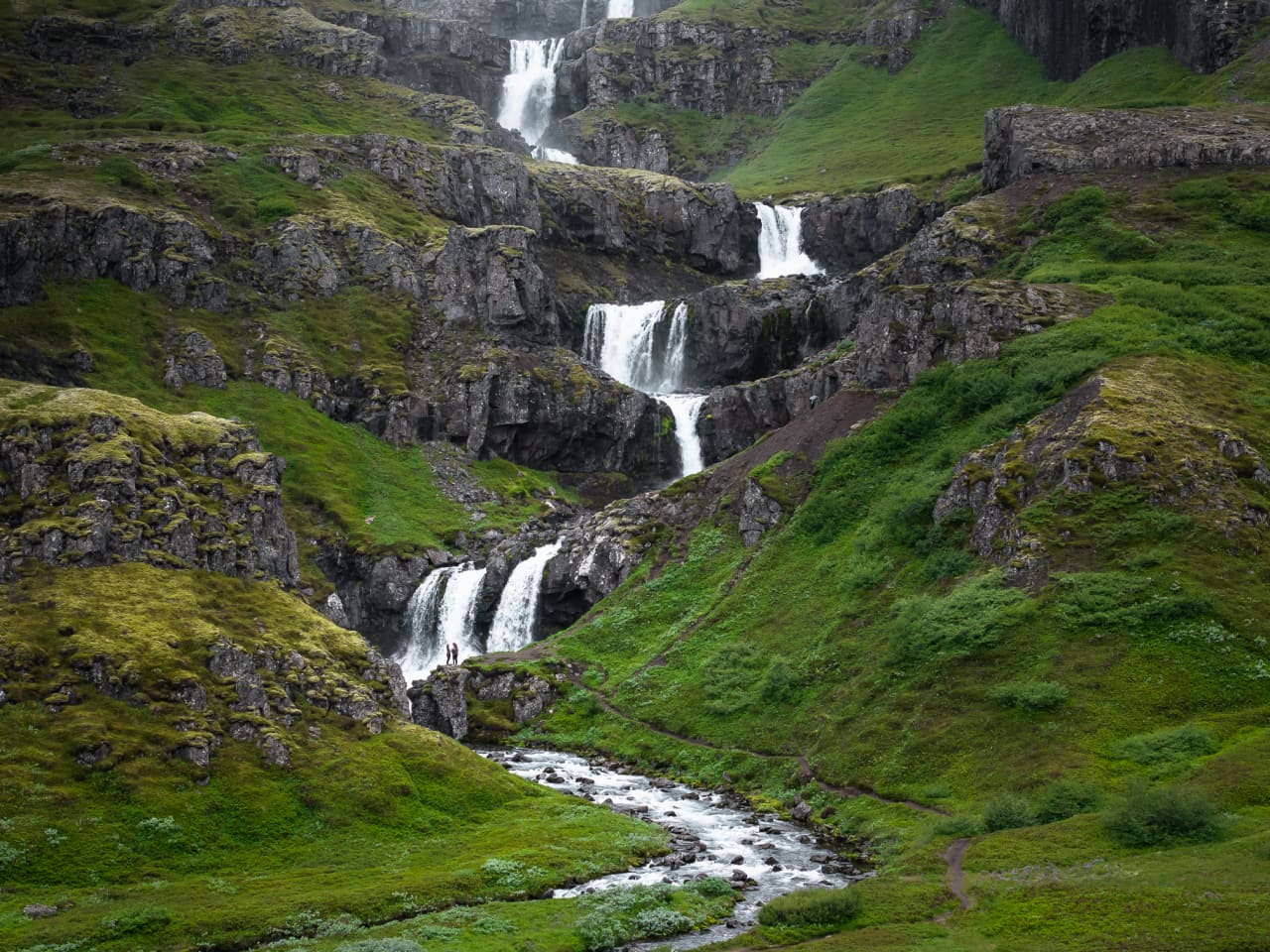
 Waterfalls

 Hot springs
- 1Geothermal hot spring near Neskaupstaður< 1 km
- 2Natural hot pot near Eskifjörður19 km
- 3Geothermal hot spring near Fáskrúðsfjörður29 km

 Fuel
Fuel
- 1
 Neskaupstaður< 1 km · 308.7 kr/L
 - 2Eskifjörður18 km · 308.6 kr/L
- 3Seyðisfjörður19 km · 308.6 kr/L
 Supermarkets


 Tours
Tours
- Abandoned Fjords Super Jeep Tourfrom 42.000 ISK · 5 hours
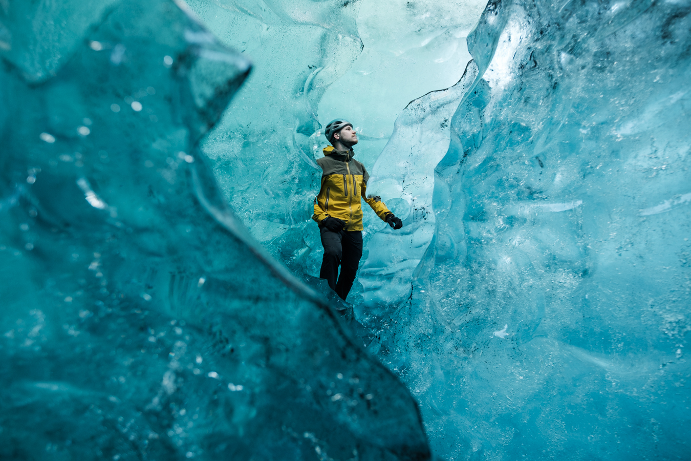 Blue Ice Discoveryfrom 24.900 ISK · 4 hours
  Breidamerkurjökull Glacier Hikefrom 15.377 ISK · 3 hours
Frequently
asked
questions
Can I wild camp near Neskaupstaður instead?
Do I need to book Neskaupstaður in advance?
When is Neskaupstaður open?
What facilities does Neskaupstaður have?
Data & sources
Everything on this page comes from the sources below. Live feeds refresh automatically.
 PhotographyHero & gallery photography · Photo: tjalda.is
 tjalda.isCampsite facts · About text by Map of Iceland (claude-opus-4-8, 2026-07)
 VegagerðinLive road status & cameras · Icelandic Road Administration
 Open-MeteoWeather forecast · CC BY 4.0
 NOAA SWPCAurora (planetary Kp) forecast · public domain
 OpenStreetMapInteractive-map data · ODbL
 Esri, Maxar & Earthstar GeographicsSatellite imagery for the 3D terrain render · GIS User Community
Spotted an error, or have something to add? Help us keep this page accurate.