




 Road
Road  Weather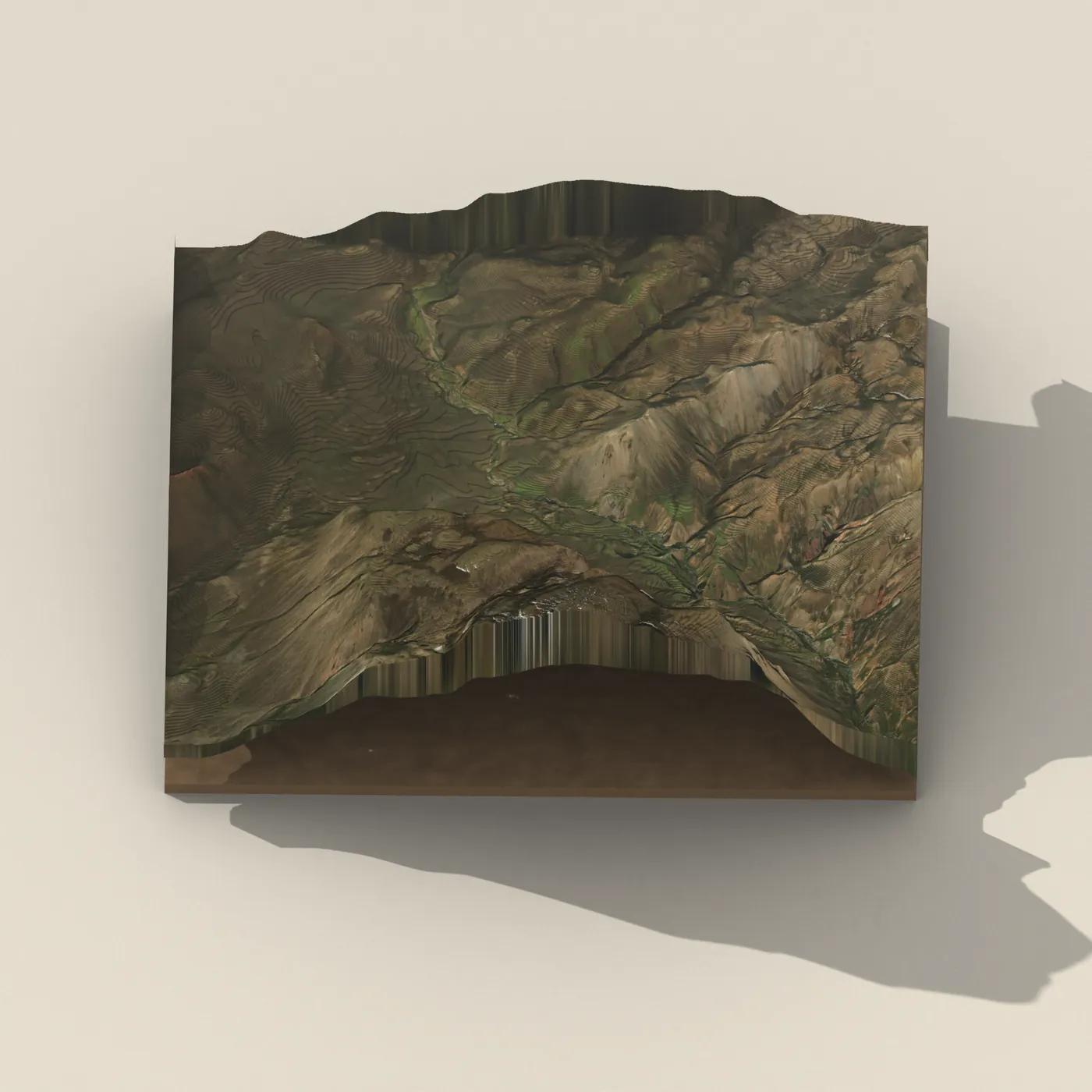
No photo of Markarfljótsfoss yet — be the first to add one


About
Markarfljótsfoss is a 17-meter waterfall on the Markarfljót river in Iceland's South Coast.
Map of Markarfljótsfoss
Map
63.9341°N, 19.3471°W · South Coast
Tours near Markarfljótsfoss
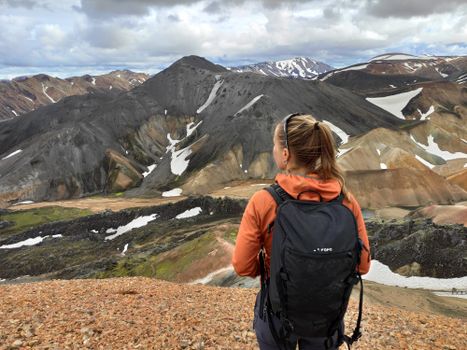 Highlands Hiking: Small Group Landmannalaugar Hike & Hot Springs - Without transferfrom 16.500 ISK · 5 h
 Bus transfer from Landmannalaugar to Hella / Reykjavikfrom 12.220 ISK · 4 h
 Buggy Adventure-1 hourfrom 19.990 ISK · 1 h
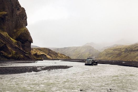 Þórsmörk Super Jeep Tourfrom 39.990 ISK · 6 h
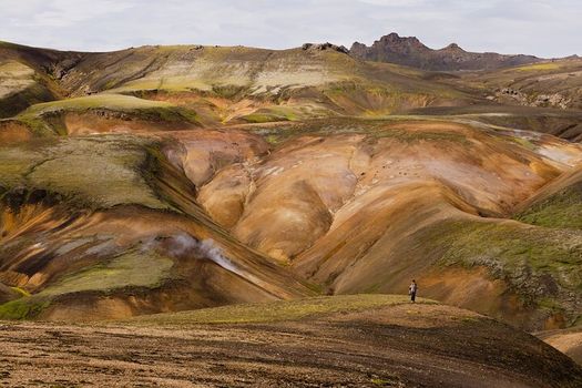 Landmannalaugar Super Jeep Day Tourfrom 44.990 ISK · 8 h
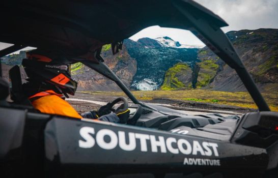 2.5-hour Buggy Adventure Ride in Icelandfrom 34.990 ISK · 2 h 30 min
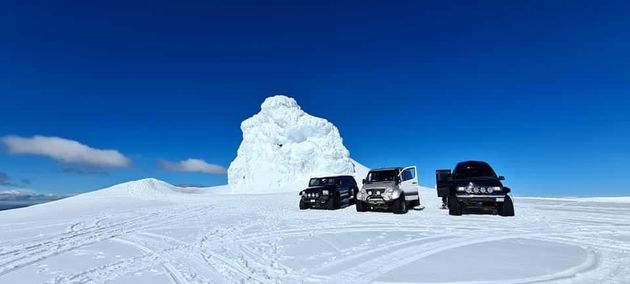 Eyjafjallajökull Volcano Super Jeep Tourfrom 39.990 ISK · 5 h
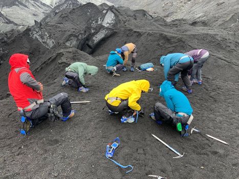 Solheimajokull Glacier Guided Hiking Small Group Tourfrom 12.299 ISK · 3 h
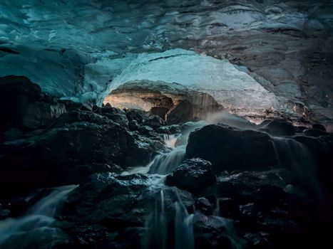 Sólheimajökull Glacier Hike and Ice Cave Explorationfrom 22.999 ISK · 4 h 30 min
 Solheimajokull Ice Climbing & Glacier Hikefrom 31.381 ISK · 4 h
 Early Bird Ice Cavefrom 25.000 ISK · 3 h 30 min
 Laugarás Lagoon Birki - Premium Lagoonfrom 9.900 ISK · 2 hAll 1,648 toursBy activity and region
Markarfljótsfoss weather and conditions
Last updated
1°Clight drizzle · feels -7°C11 m/sgusts 189 h 52 mdaylight · 08:07 – 17:59

Tonight
Northern lights forecast by region
In season now · Winter in IcelandSolheimajokull Ice Climbing & Glacier Hikefrom 31.381 ISK · 4 hAll 1,648 tours
Cars & campers
−12%exclusive discountFree cancellation KEF airport pickup 24/74.8
KEF airport pickup 24/74.8
 Transmission
 Fuel
Fuel Seats
Seats Drive
Drive

 Sleeps
Photos & videos

No photos or videos yet
Been to Markarfljótsfoss? Help other travellers — add the first photo or video.
 Search YouTube
Nearby
km column = your drive
- 1Ljósafoss7 km
- 2Rauðufossar9 km
- 3Tungnaárfellsfoss24 km
- 4Rangárbotnar25 km
- 5
 Tröllkonuhlaup26 km

 Hot springs
- 1Geothermal hot spring near Rangárþing ytra10 km
- 2
 Landmannalaugar Hot River15 km
 - 3
 Brennisteinsalda15 km

 Fuel
Fuel

 Supermarkets

 Tours
Tours
 Adrenaline Combo: Off-Road Buggy & Mega Zipline Experiencefrom 29.300 ISK · 3 hours
  Buggy Adventure in Þórsmörkfrom 89.990 ISK · 5 hours
 - Bus transfer from Landmannalaugar to Hella / Reykjavikfrom 12.220 ISK · 4 hours
Frequently
asked
questions
How do I get to Markarfljótsfoss?
Markarfljótsfoss is located in South Coast. Check live road conditions on this page before you drive.
Is Markarfljótsfoss free to visit?
Most Icelandic waterfalls are free to enter. Parking may cost 700–1000 ISK — use the Parka app or pay on-site.
What is the best time to visit Markarfljótsfoss?
Markarfljótsfoss is accessible year-round. Summer offers the best light; winter can be dramatic but check road conditions first.
Data & sources
Everything on this page comes from the sources below. Live feeds refresh automatically.
 VegagerðinLive road status & cameras · Icelandic Road Administration
 Open-MeteoWeather forecast · CC BY 4.0
 NOAA SWPCAurora (planetary Kp) forecast · public domain
 OpenStreetMapInteractive-map data · ODbL
 Esri, Maxar & Earthstar GeographicsSatellite imagery for the 3D terrain render · GIS User Community
Spotted an error, or have something to add? Help us keep this page accurate.
Iceland nowfrom 19 Sep 06:10