




 Road
Road  Weather


About
Herðubreið is a tuya in the northern part of Vatnajökull National Park, Iceland. It is situated in the Highlands of Iceland at the east side of the Ódáðahraun desert and close to Askja volcano.
The landscape around volcanic areas looks stark. Black rock, steam vents, the smell of sulfur. Another planet.
It is situated in the Highlands of Iceland at the east side of the Ódáðahraun desert and close to Askja volcano. The desert is a large lava field originating from eruptions of Trölladyngja and other shield volcanoes in the area. Herðubreið was formed beneath the ice sheet that covered Iceland during the last glacial period.
The terrain can be sharp and uneven. Good hiking boots aren't optional, they're essential.
Map of Herðubreið
65.1787°N, 16.3450°W · North Iceland
Plan your visit
 Elevation
- 1,682 m above sea level
 Off the main road
- 34.7 km from Route 1
 Nearest town
- Vogar við Mývatn — 56.1 km away
 Distance from Reykjavík
- 290 km in a straight line
 What else is close
- 45 mapped places within 20 km
Tours that include Herðubreið
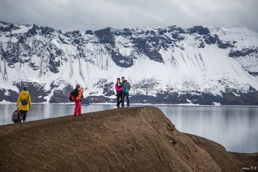 Askja & Herðubreið Super Jeep Tourfrom 59.900 ISK · 12 h
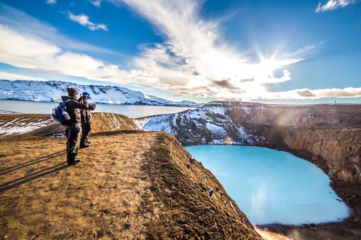 Askja Caldera & Herðubreiðarlindir - Super jeep day tourfrom 59.900 ISK · 12 h
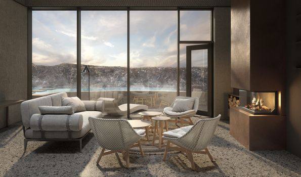 Earth Exclusive - Earth lagoon Myvatnfrom 52.000 ISK · 4 h
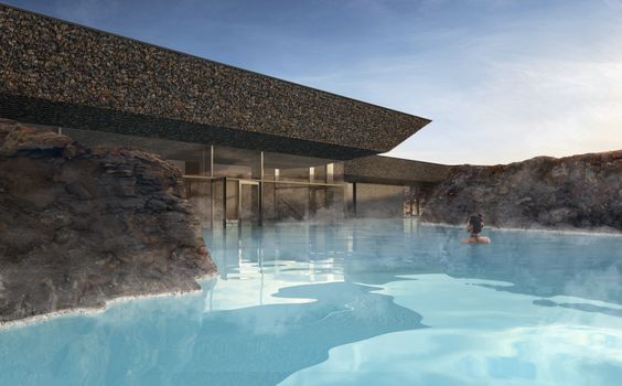 Earth Essential - Earth Lagoon Mývatnfrom 7.900 ISK · 1 h 30 min
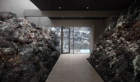 Earth Signature - Earth Lagoon Mývatnfrom 9.900 ISK · 1 h 30 min
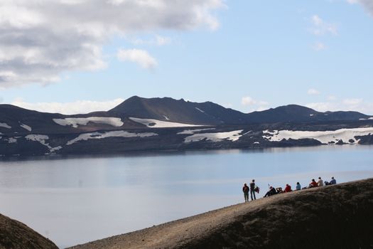 Askja Classicfrom 34.900 ISK · 12 h
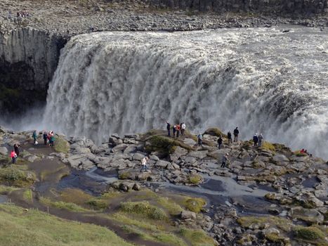 Lake Myvatn and Dettifoss Waterfall (from Lake Myvatn)from 39.900 ISK · 6 h
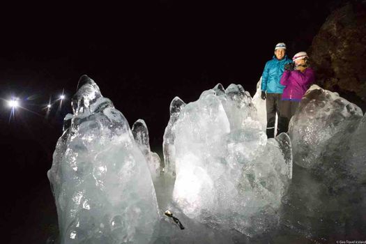 Lofthellir Ice-Cave Exploration - Super Jeep Tourfrom 49.900 ISK · 4 h 30 min
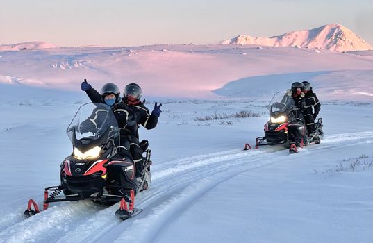 Lake Mývatn 1.Hour Snowmobile Safarifrom 29.900 ISK · 1 h 30 min
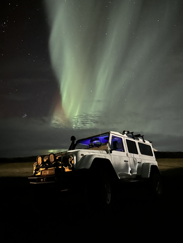 Northern Lights 4x4 Tour from Akureyrifrom 34.799 ISK · 2 h 30 min
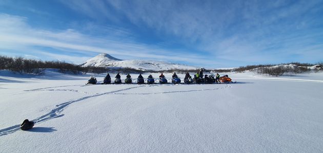 Lake Mývatn & Snowmobile Tour from Akureyrifrom 59.900 ISK · 9 h
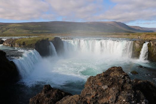 Goðafoss and the Forest Lagoonfrom 26.400 ISK · 4 hAll 1,648 toursBy activity and region
Herðubreið weather and conditions
Last updated

Cars & campers
 KEF airport pickup 24/74.8
 Transmission
 Fuel
Fuel Seats
Seats Drive
Drive

 Sleeps
Photos & videos
No verified videos yet — we only show footage confirmed to be Herðubreið, no lookalikes. Search YouTube
Nearby
km column = your drive
- 1Kollóttadyngja10 km
- 2
 Heidarspordar20 km
 - 3
 Vikraborgir22 km
 - 4
 Askja25 km
 - 5Fremrinámar31 km

 Waterfalls

 Hot springs
.jpg?width=1280)


 Fuel
Fuel
 Supermarkets

 Tours
Tours
 (Cruise Ships) Lake Mývatn and Goðafossfrom 25.300 ISK · 6 hours 30 minutes
 (RS) Lake Myvatn & Godafoss Waterfall Day Tour from Akureyrifrom 25.900 ISK · 6 hours
 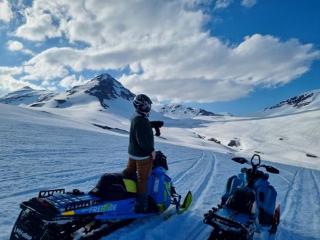 Adventure snowmobile tour Akureyrifrom 166.750 ISK · 5 hours
Frequently
asked
questions
Is it safe to visit Herðubreið?
How do I get to Herðubreið?
Can I hike Herðubreið?
What should I know about volcanic gas near Herðubreið?
Data & sources
Everything on this page comes from the sources below. Live feeds refresh automatically.
 Wikimedia CommonsHero & gallery photography · Icemuon, cropped by Seattle Skier · Wikimedia Commons · CC BY-SA 3.0
 VegagerðinVisitor access & practical facts
 VegagerðinLive road status & cameras · Icelandic Road Administration
 Open-MeteoWeather forecast · CC BY 4.0
 NOAA SWPCAurora (planetary Kp) forecast · public domain
 OpenStreetMapInteractive-map data · ODbL
 Esri, Maxar & Earthstar GeographicsSatellite imagery for the 3D terrain render · GIS User Community
Spotted an error, or have something to add? Help us keep this page accurate.