 Swimming poolNorth Iceland
Þelamerkurlaug


 Road loading…
 Weather loading…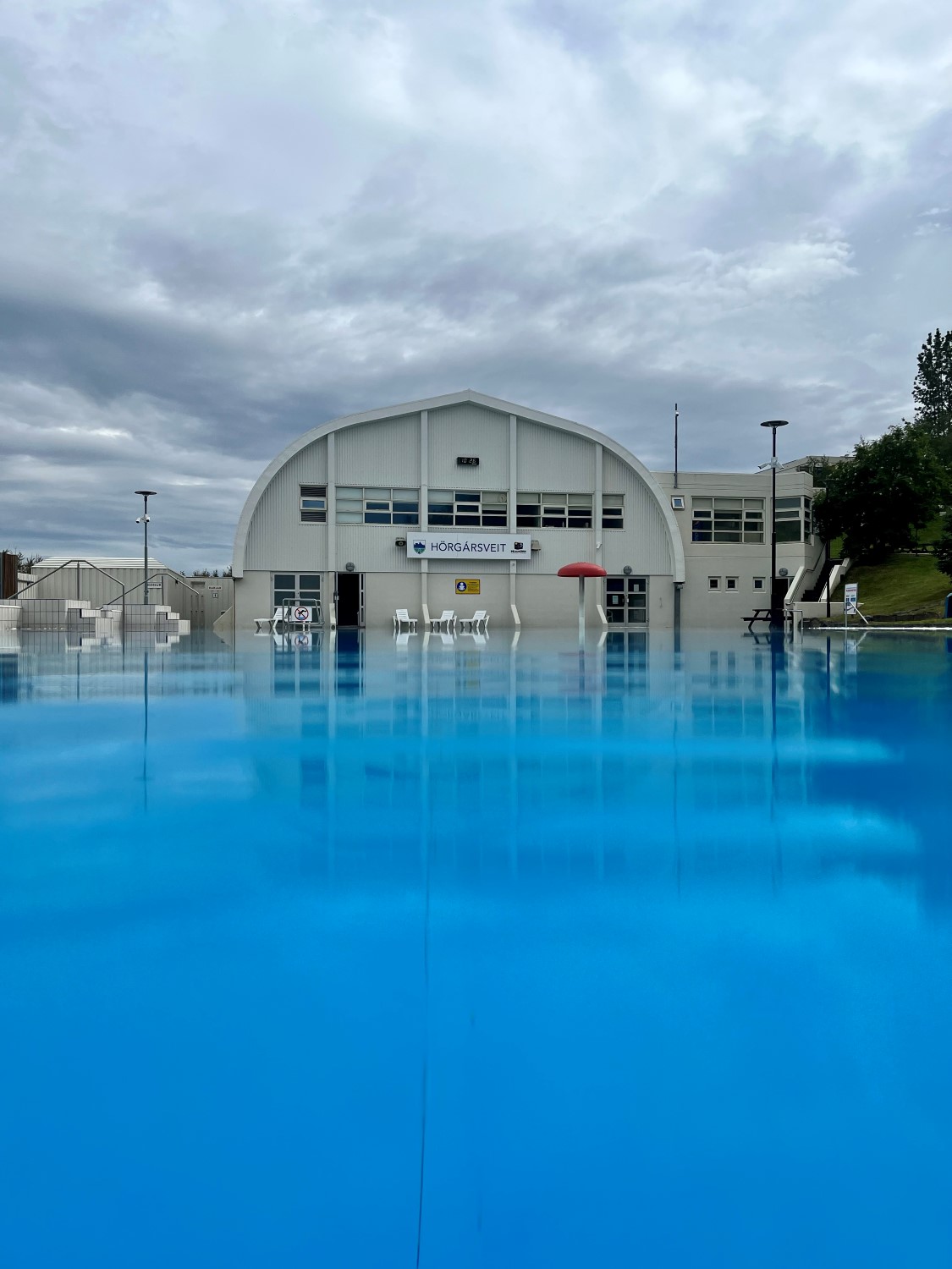

Þelamerkurlaug
About
Þelamerkurlaug is a public swimming pool in North Iceland.
Þelamerkurlaug weather and conditions
At Þelamerkurlaug in North Iceland, conditions as of 22 July 2026, 10:46 (Iceland time): 17°C, overcast, wind 5 m/s gusting to 10 m/s. Daylight today: 19 h 59 m (sunrise 03:20, sunset 23:19). Parking costs 1,300 ISK. Check road status before driving on live road conditions.
Data verified 22 July 2026, 10:46 · source: Open-Meteo at this location’s coordinates · refreshes hourly

 Drive: Good·
 Visit now·
 30 min stop
 Ring Road 1Checking…
 F-roadsOpen
 ClosuresChecking…
 Wind—
Wind— Visibility—
Opening hours
In Icelandic — English hours not published
- Vetraropnun, 24. ágúst til 5. júní: Mánudaga - fimmtudaga 16:00–22:30
- Föstudaga Lokað
- Laugardaga 11:00–18:00
- Sunnudaga 11:00–22:30 | Sumaropnun 6. júní til 23. ágúst: Sunnudaga - fimmtudaga 11:00–22:00
- Föstudaga - laugardaga 11:00–18:00

Admission
- Adult
- 1,300 ISK
- Child
- 320 ISK
Hours & prices via sundlaugar.is

 —
— —
— —
— Loading…
 Moon—
Moon— ——
—— —
— Sunrise—
 Golden hour AM—
 Golden hour PM—
 Sunset—
 Blue hour—
Cars & campers
 KEF airport pickup 24/74.8
 Transmission
 Fuel
Fuel Seats
Seats Drive
Drive

 Sleeps
Tours near Þelamerkurlaug
 Small groups
 Duration
 Highlights
 Type
Type
Photos & videos
No verified videos yet — we only show footage confirmed to be Þelamerkurlaug, no lookalikes. Search YouTube
Reviews
Nearby
 Waterfalls
A waterfall in North Iceland.
A waterfall in North Iceland.
A waterfall in North Iceland.
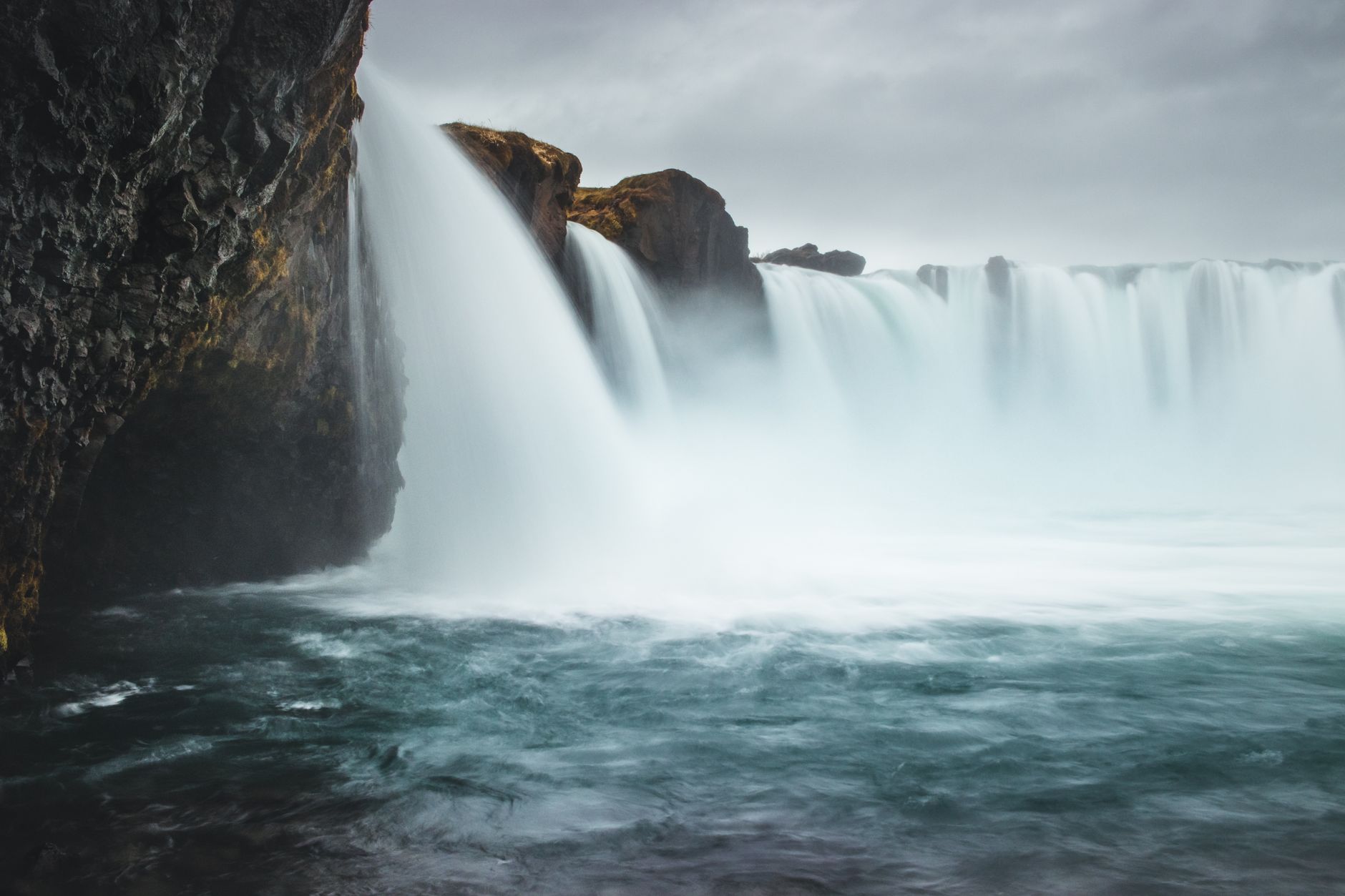
The Waterfall of the Gods. Wide, horseshoe-shaped falls dropping 12 meters. According to…
 Hot Springs
Public_bath hot spring
Public_bath hot spring
Public_bath hot spring
Hot spring in Capital Region. Natural geothermal bathing spot.
 Campsites
The camp site Lónsá is located close to highway no 1 when entering Akureyri in the…
The camp site Hamrar by Akureyri is an excellent camp site with great facilities and…
North Iceland camping option. Less crowded than the south, with dramatic landscapes and…
The camp site Systragil is in the valley Fnjóskadalur, a short distance from Akureyri. A…
 Supermarkets
Bónus supermarket — supplies
Nettó supermarket — supplies
Krónan supermarket — supplies
Hagkaup supermarket — supplies
 Gas stations
ÓB · 303.9 kr/L petrol
Atlantsolía · 279.8 kr/L petrol
Orkan · 279.7 kr/L petrol
ÓB · 279.8 kr/L petrol
 Tours
Tours
Lake Mývatn and the surrounding area are an absolute must if you're exploring the North!
Discover the wonderland of Lake Myvatn and Godafoss Waterfall with an experienced local tour guide.
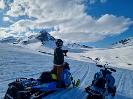
The freedom of covering all kinds of terrain on a snowmobile is something everyone should experience.
Frequently
asked
questions
How do I get to Þelamerkurlaug?
Is Þelamerkurlaug free to visit?
What is the best time to visit Þelamerkurlaug?
Data & sources
Everything on this page comes from the sources below. Live feeds refresh automatically.
 PhotographyHero & gallery photography · sundlaugar.is / Sundlaugar
 VegagerðinLive road status & cameras · Icelandic Road Administration
 Open-MeteoWeather forecast · CC BY 4.0
 NOAA SWPCAurora (planetary Kp) forecast · public domain
 OpenStreetMapInteractive-map data · ODbL
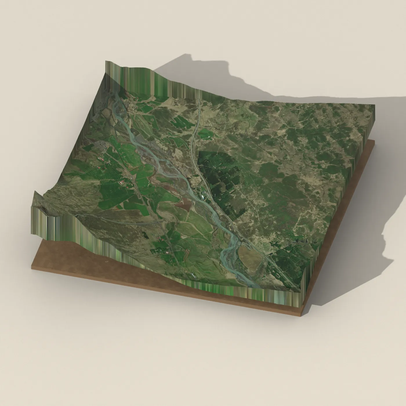
 Esri, Maxar & Earthstar GeographicsSatellite imagery for the 3D terrain render · GIS User Community
Spotted an error, or have something to add? Help us keep this page accurate.