



 Road
Road  Weather


Map of Holtavörðuvatn
Map
64.9936°N, 21.0831°W · West Iceland
Plan your visit
 Getting there
- Road 1 (Holtavörðuheiði)
 Off the main road
- 0.8 km from Route 1
 Nearest town
- Bifröst — 33.6 km away
 Distance from Reykjavík
- 103 km in a straight line
 What else is close
- 40 mapped places within 20 km
Tours near Holtavörðuvatn
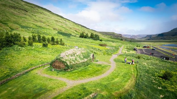 Experience the Settlement Period Farm of Eirik the Red and Leif Eirikssonfrom 2.900 ISK · 1 h
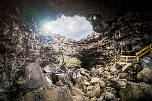 Cave Explorerfrom 9.000 ISK · 1 h 30 min
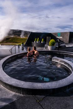 Krauma nature baths - Admission feefrom 7.900 ISK · 1 h
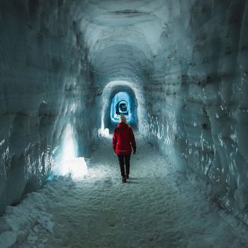 Into The Glacier - From Húsafellfrom 27.900 ISK · 4 h
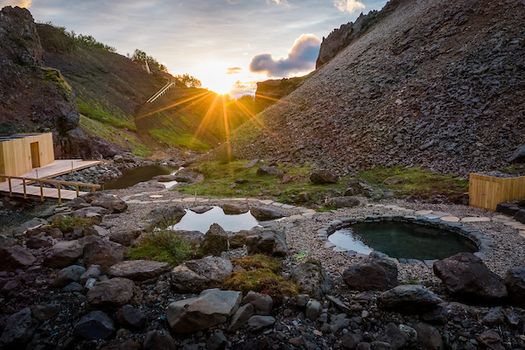 Husafell Canyon Bathsfrom 10.900 ISK · 1 h 45 min
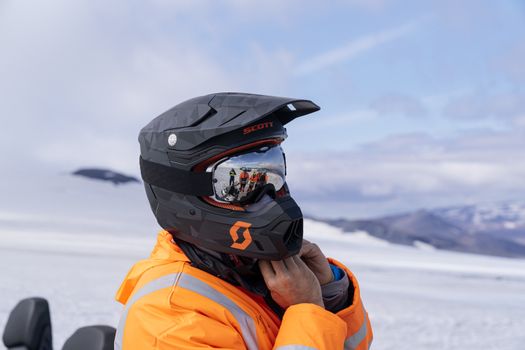 Into The Glacier - With Snowmobiling From Húsafellfrom 36.900 ISK · 4 h 30 min
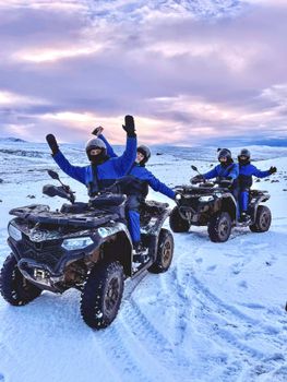 ATV Quad Adventure in Húsafell: Rivers & Mountain Viewsfrom 17.990 ISK · 1 h
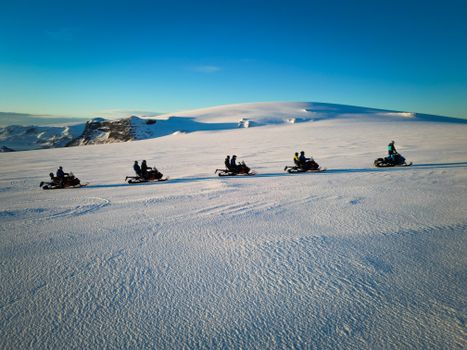 Snowmobile on Langjökull Glacier - Meet us in Husafellfrom 33.490 ISK · 2 h
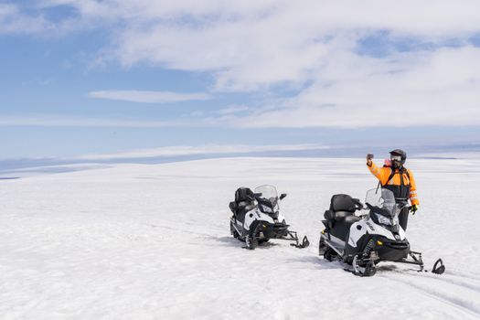 Into The Glacier - With Snowmobiling From Klaki Base Campfrom 36.900 ISK · 2 h 30 minInto The Glacier - From Húsafellfrom 27.900 ISK · 4 hSnowmobile on Langjökull Glacier - Meet us in Husafellfrom 33.490 ISK · 2 h
 Golden Circle and Laugarás Lagoon Lerki Admissionfrom 23.039 ISK · 9 h 30 minAll 1,648 toursBy activity and region
Holtavörðuvatn weather and conditions
Last updated
5°Covercast · feels -1°C8 m/sgusts 129 h 46 mdaylight · 08:17 – 18:03

Tonight
Northern lights forecast by region
In season now · Winter in IcelandInto The Glacier - From Húsafellfrom 27.900 ISK · 4 hAll 1,648 tours
Cars & campers
−12%exclusive discountFree cancellation KEF airport pickup 24/74.8
KEF airport pickup 24/74.8
 Transmission
 Fuel
Fuel Seats
Seats Drive
Drive

 Sleeps
Photos & videos
No verified videos yet — we only show footage confirmed to be Holtavörðuvatn, no lookalikes. Search YouTube
Nearby
km column = your drive
- 1
 Krókavatn14 km
 - 2Þverárvötn16 km
- 3Hólmavatn20 km
- 4Hávaðavötn26 km
- 5
 Haukadalsvatn26 km

 Waterfalls
 Hot springs
- 1Grafarlaug21 km
- 2Geothermal hot spring near Húnaþing vestra29 km
- 3Natural hot pot near Húnaþing vestra30 km

 Fuel
Fuel
- 1
 Staðarskáli17 km · 310.9 kr/L
 - 2Hreðavatnsskáli33 km · 303.6 kr/L
- 3Húsafell34 km · 308.6 kr/L
 Supermarkets
 Tours
Tours
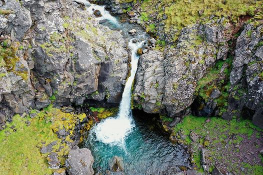 Day Trek to Akrafjall: The Troll's Mountainfrom 17.656 ISK · 6 hours 30 minutes
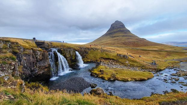 From Grundarfjörður Port: Private Snaefellsness Tourfrom 269.900 ISK · 8 hours
 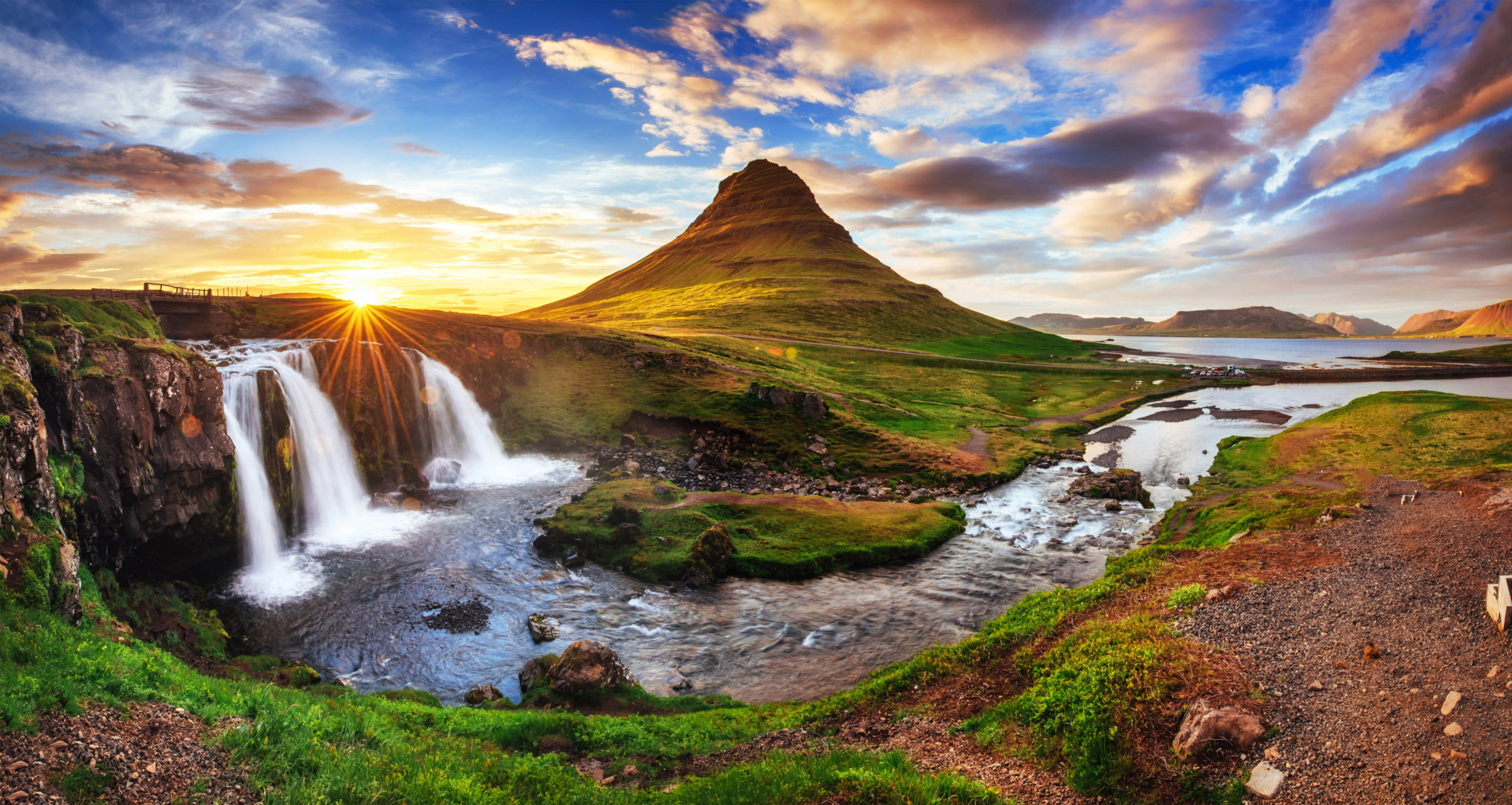 Grundarfjörður Cruise Tour: Snæfellsnes Peninsula from the portfrom 24.500 ISK · 5 hours 30 minutes
Frequently
asked
questions
How do I get to Holtavörðuvatn?
Holtavörðuvatn is in West Iceland. Check live road conditions on this page before you drive — highland lakes often need a 4×4 and some access roads only open in summer.
Can I fish at Holtavörðuvatn?
Angling in Iceland requires a permit bought per water body from the landowner or local angling association, and gear used abroad must be disinfected first. Check the local rules for Holtavörðuvatn before you cast.
Can I swim in Holtavörðuvatn?
Icelandic lakes are cold year-round and swimming rules vary by lake — some are protected or have unstable shorelines. Check local signage at Holtavörðuvatn before entering the water.
When is the best time to visit Holtavörðuvatn?
Roadside lakes are visitable year-round, though winter access depends on conditions. Highland lakes and reservoirs are typically reachable only in summer once the F-roads open. Check live road conditions before you drive.
Data & sources
Everything on this page comes from the sources below. Live feeds refresh automatically.
 Wikimedia CommonsHero & gallery photography · Steinninn · Wikimedia Commons · CC BY 4.0
 VegagerðinVisitor access & practical facts
 VegagerðinLive road status & cameras · Icelandic Road Administration
 Open-MeteoWeather forecast · CC BY 4.0
 NOAA SWPCAurora (planetary Kp) forecast · public domain
 OpenStreetMapInteractive-map data · ODbL
 Esri, Maxar & Earthstar GeographicsSatellite imagery for the 3D terrain render · GIS User Community
Spotted an error, or have something to add? Help us keep this page accurate.
Iceland nowfrom 19 Sep 06:10