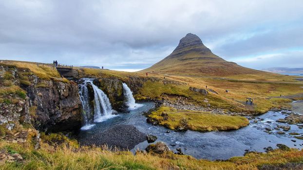
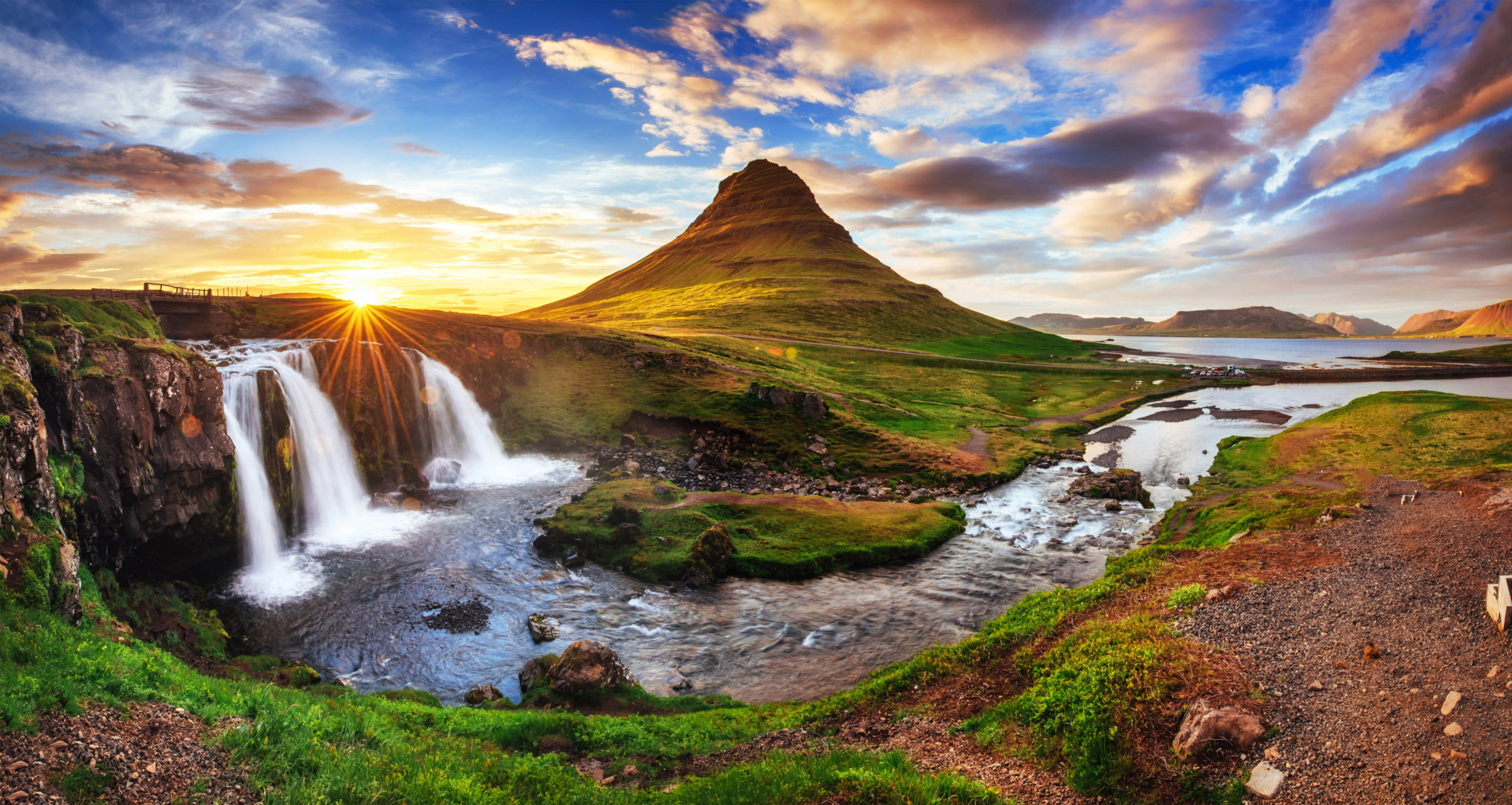
Arnaud de Gramont · Wikimedia Commons · CC BY 3.0
 Christian Bickel fingalo · Wikimedia Commons · CC BY-SA 2.0 de
 Bromr · Wikimedia Commons · CC BY-SA 3.0
West Iceland Lakes

40 lakes in West Iceland — mapped with live road conditions, drive times, and directions.
40 lakes in West Iceland, led by Hreðavatn and Laugarvatn. All mapped with drive times, directions, and live road conditions.
Top lakes in West Iceland
The region's stand-outs — each with photos, facts, and its own page. Distances on the cards are straight-line from Reykjavík.
 1.3 km² surface
Hreðavatn
Hreðavatn is a lake in the west of Iceland. It is situated near Route 1 between Borgarnes and the pass of Holtavörtuheiði. Nearby is the university faculty of the Bifröst University and the Grábrók craters as well as the mountain Baula. West Iceland lake. Gateway region between the capital and the wilder west and north. Fishing requires permits in Iceland - check regulations before casting.
 2.14 km² surface
Laugarvatn
Laugarvatn is the name of a lake and a small town in the south of Iceland. The lake is smaller than the neighbouring Apavatn. West Iceland lake. Gateway region between the capital and the wilder west and north. Weather can change rapidly around highland lakes - be prepared.
 14.7 km² surface
Skorradalsvatn
West Iceland lake known for excellent trout fishing. Peaceful rural setting. The area has good hiking and birdwatching. Less dramatic than Iceland's famous sites, but genuinely pleasant. Easy day trip from Reykjavík or stopover en route to the west and north.
 4.1 km² surface
Hvalvatn
The lake Hvalvatn is situated east of Hvalfjörður in the western portion of Iceland. It lies to the east of the tuya Hvalfell. The surface measures 4.1 km2 (1.6 sq mi), and its greatest depth is 180 m (590 ft). West Iceland lake. Gateway region between the capital and the wilder west and north. Check if swimming is permitted - some lakes are protected or dangerous.
40 lakes in West Iceland
Myrkavatn
West Iceland lake. Gateway region between the capital and the wilder west and north. Fishing requires permits in Iceland - check regulations before casting.
 0.0000050999999999999995 km² surface
Langavatn
West Iceland lake. Gateway region between the capital and the wilder west and north. Fishing requires permits in Iceland - check regulations before casting.
7.6 km² surfaceHítarvatn
West Iceland lake. Gateway region between the capital and the wilder west and north. Fishing requires permits in Iceland - check regulations before casting.

Uxavatn
West Iceland lake. Gateway region between the capital and the wilder west and north. Many lakes are inaccessible in winter - plan seasonal visits accordingly.

Baulárvallavatn
West Iceland lake. Gateway region between the capital and the wilder west and north. Many lakes are inaccessible in winter - plan seasonal visits accordingly.

Bretavatn
West Iceland lake. Gateway region between the capital and the wilder west and north. Fishing requires permits in Iceland - check regulations before casting.

Hlíðarvatn
West Iceland lake. Gateway region between the capital and the wilder west and north. Weather can change rapidly around highland lakes - be prepared.
Hávaðavötn
West Iceland lake. Gateway region between the capital and the wilder west and north. Weather can change rapidly around highland lakes - be prepared.
Hólmlátursvötn
West Iceland lake. Gateway region between the capital and the wilder west and north. Weather can change rapidly around highland lakes - be prepared.
Krókatjarnir
West Iceland lake. Gateway region between the capital and the wilder west and north. Check if swimming is permitted - some lakes are protected or dangerous.
Þverárvötn
West Iceland lake. Gateway region between the capital and the wilder west and north. Weather can change rapidly around highland lakes - be prepared.
Arnarvatn-Litla
West Iceland lake. Gateway region between the capital and the wilder west and north. Many lakes are inaccessible in winter - plan seasonal visits accordingly.
Breiðarvatn
West Iceland lake. Gateway region between the capital and the wilder west and north. Many lakes are inaccessible in winter - plan seasonal visits accordingly.
Eiríksvatn
West Iceland lake. Gateway region between the capital and the wilder west and north. Weather can change rapidly around highland lakes - be prepared.
Eiðisvatn
West Iceland lake. Gateway region between the capital and the wilder west and north. Fishing requires permits in Iceland - check regulations before casting.
Grjótárvatn
West Iceland lake. Gateway region between the capital and the wilder west and north. Many lakes are inaccessible in winter - plan seasonal visits accordingly.
Götuvatn
West Iceland lake. Gateway region between the capital and the wilder west and north. Check if swimming is permitted - some lakes are protected or dangerous.
Haukabrekkuvatn
West Iceland lake. Gateway region between the capital and the wilder west and north. Many lakes are inaccessible in winter - plan seasonal visits accordingly.

Haukadalsvatn
West Iceland lake. Gateway region between the capital and the wilder west and north. Fishing requires permits in Iceland - check regulations before casting.
Hnúksvatn
West Iceland lake. Gateway region between the capital and the wilder west and north. Fishing requires permits in Iceland - check regulations before casting.

Holtavörðuvatn
West Iceland lake. Gateway region between the capital and the wilder west and north. Weather can change rapidly around highland lakes - be prepared.

Hraunsfjarðarvatn
West Iceland lake. Gateway region between the capital and the wilder west and north. Fishing requires permits in Iceland - check regulations before casting.
Háleiksvatn
West Iceland lake. Gateway region between the capital and the wilder west and north. Many lakes are inaccessible in winter - plan seasonal visits accordingly.
Hólmavatn
West Iceland lake. Gateway region between the capital and the wilder west and north. Fishing requires permits in Iceland - check regulations before casting.
Hólmavatn
West Iceland lake. Gateway region between the capital and the wilder west and north. Fishing requires permits in Iceland - check regulations before casting.
Hólmavatn
West Iceland lake. Gateway region between the capital and the wilder west and north. Fishing requires permits in Iceland - check regulations before casting.
Hólmavatn
West Iceland lake. Gateway region between the capital and the wilder west and north. Fishing requires permits in Iceland - check regulations before casting.
Kerlingavatn
West Iceland lake. Gateway region between the capital and the wilder west and north. Check if swimming is permitted - some lakes are protected or dangerous.
Krossaxlavatn
West Iceland lake. Gateway region between the capital and the wilder west and north. Fishing requires permits in Iceland - check regulations before casting.

Krókavatn
West Iceland lake. Gateway region between the capital and the wilder west and north. Fishing requires permits in Iceland - check regulations before casting.


Meðalfellsvatn
West Iceland lake. Gateway region between the capital and the wilder west and north. Weather can change rapidly around highland lakes - be prepared.

Selvallavatn
West Iceland lake. Gateway region between the capital and the wilder west and north. Check if swimming is permitted - some lakes are protected or dangerous.

Hlíðarvatn
West Iceland lake. Gateway region between the capital and the wilder west and north. Weather can change rapidly around highland lakes - be prepared.

Helgafellsvatn
West Iceland lake. Gateway region between the capital and the wilder west and north. Weather can change rapidly around highland lakes - be prepared.
1.3 km² surfaceHreðavatn
Hreðavatn is a lake in the west of Iceland. It is situated near Route 1 between Borgarnes and the pass of Holtavörtuheiði. Nearby is the university faculty of the Bifröst University and the Grábrók craters as well as the mountain Baula. West Iceland lake. Gateway region between the capital and the wilder west and north. Fishing requires permits in Iceland - check regulations before casting.
 10.3 km² surface
Vesturhópsvatn
Vesturhópsvatn is a lake in northern Iceland. It is located in the municipality of Húnaþing vestra. West Iceland lake. Gateway region between the capital and the wilder west and north. Weather can change rapidly around highland lakes - be prepared.
2.14 km² surfaceLaugarvatn
Laugarvatn is the name of a lake and a small town in the south of Iceland. The lake is smaller than the neighbouring Apavatn. West Iceland lake. Gateway region between the capital and the wilder west and north. Weather can change rapidly around highland lakes - be prepared.
14.7 km² surfaceSkorradalsvatn
West Iceland lake known for excellent trout fishing. Peaceful rural setting. The area has good hiking and birdwatching. Less dramatic than Iceland's famous sites, but genuinely pleasant. Easy day trip from Reykjavík or stopover en route to the west and north.
4.1 km² surfaceHvalvatn
The lake Hvalvatn is situated east of Hvalfjörður in the western portion of Iceland. It lies to the east of the tuya Hvalfell. The surface measures 4.1 km2 (1.6 sq mi), and its greatest depth is 180 m (590 ft). West Iceland lake. Gateway region between the capital and the wilder west and north. Check if swimming is permitted - some lakes are protected or dangerous.
Cars & campers
 KEF airport pickup 24/74.8
 Transmission
 Fuel
Fuel Seats
Seats Drive
Drive

 Sleeps
Tours near West Iceland
 Small groups
 Duration
 Highlights
 Type
Type