




 Road
Road  Weather
  No photo of Þórdalsheiðarvegur yet
About
A steep, narrow power-line service road in East Iceland, with no water crossings on record.
Industrial in purpose — it exists to service a power line, not for sightseeing, though the surrounding terrain is still highland scenery.
The power line it runs beside carries electricity to an aluminum smelter — a functional reason for the road's existence.
No rivers are noted, so the main hazard is the steep, narrow surface itself — treat blind corners and steep grades with the same caution you'd use for any mountain track.
Map of Þórdalsheiðarvegur
65.0333°N, 15.3333°W · East Iceland
Plan your visit
 Off the main road
- 29.7 km from Route 1
 Nearest town
- Fellabær — 50.7 km away
 Distance from Reykjavík
- 330 km in a straight line
 What else is close
- 95 mapped places within 20 km
Tours near Þórdalsheiðarvegur
 Museumfrom 3.000 ISK · 1 h
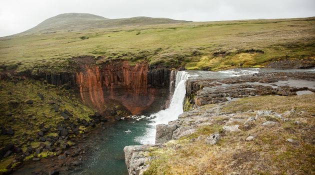 Wonders of the Wilderness - Summerfrom 61.000 ISK · 10 h
 Relax - The essential Vök Baths experiencefrom 7.690 ISK · 1 h 30 min
 Abandoned Fjords Super Jeep Tourfrom 42.000 ISK · 5 h
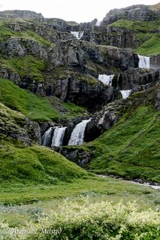 Mjóifjörður Super Jeep Tour - Eskifjörðurfrom 42.000 ISK · 5 h
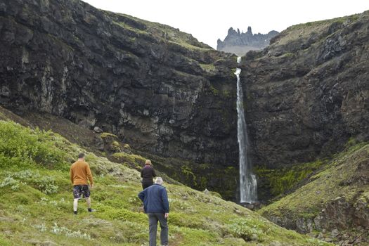 Valleys and Waterfallsfrom 42.000 ISK · 5 h
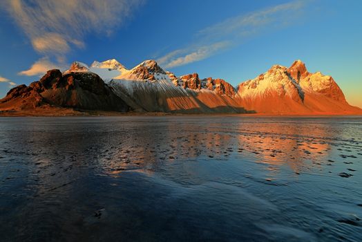 Djúpivogur: Jökulsárlón & Diamond Beach Cruise Tourfrom 29.550 ISK · 6 h 30 min
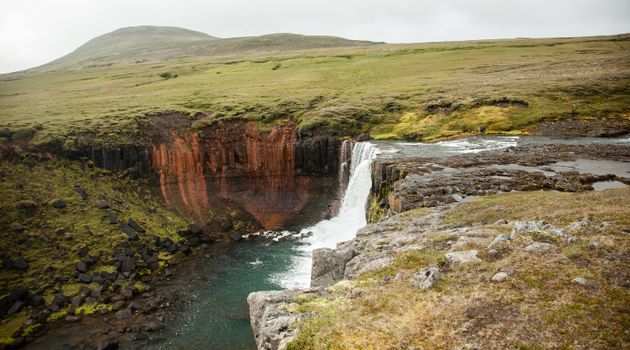 Wonders of the Wilderness - Seyðisfjörðurfrom 61.000 ISK · 10 h
 Mjóifjörður Super Jeep Tour - Seyðisfjörðurfrom 42.000 ISK · 5 h
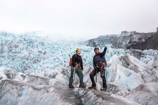 Skaftafell 5-Hours Adventure Glacier Hikefrom 20.775 ISK · 5 h
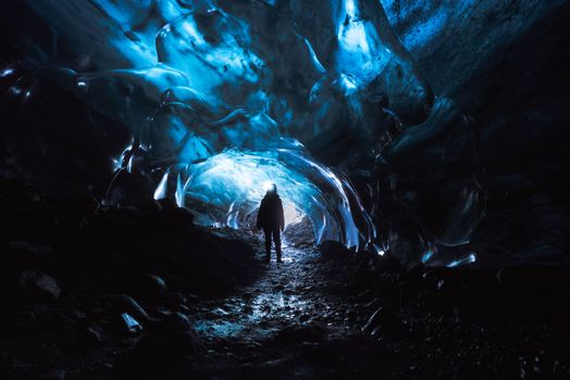 Skaftafell Blue Ice Cave and Glacier Walk Tourfrom 19.999 ISK · 3 h
 Northern Lights Chase from Glacier Lagoonfrom 25.000 ISK · 5 hAll 1,648 toursBy activity and region
F936 typically opens late June–early July and closes by September–October — always confirm on road.is before you drive.
Þórdalsheiðarvegur weather and conditions
Last updated

Cars & campers
 KEF airport pickup 24/74.8
 Transmission
 Fuel
Fuel Seats
Seats Drive
Drive

 Sleeps
Photos & videos
Nearby
 Waterfalls


 Hot springs

 Fuel
Fuel
- 1Hallormsstaður29 km · 308.6 kr/L
- 2Skjöldólfsstaðir33 km · 308.6 kr/L
- 3
 Egilsstaðir50 km · 310.9 kr/L
 Supermarkets


 Tours
Tours
- Abandoned Fjords Super Jeep Tourfrom 42.000 ISK · 5 hours
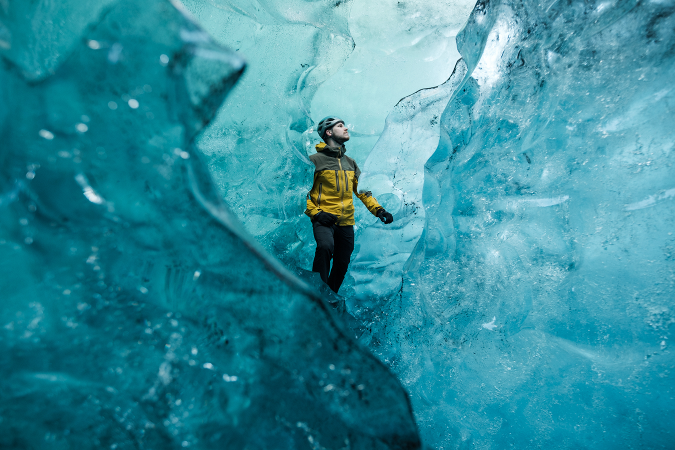 Blue Ice Discoveryfrom 24.900 ISK · 4 hours
  Breidamerkurjökull Glacier Hikefrom 15.377 ISK · 3 hours
Frequently
asked
questions
What car do I need for F936?
Are there river crossings on F936?
Why does F936 exist?
Is F936 a scenic drive?
Can I drive F936 in a 2WD car?
Data & sources
Everything on this page comes from the sources below. Live feeds refresh automatically.
 VegagerðinVisitor access & practical facts
 VegagerðinLive road status & cameras · Icelandic Road Administration
 Open-MeteoWeather forecast · CC BY 4.0
 NOAA SWPCAurora (planetary Kp) forecast · public domain
 OpenStreetMapInteractive-map data · ODbL
 Esri, Maxar & Earthstar GeographicsSatellite imagery for the 3D terrain render · GIS User Community
Spotted an error, or have something to add? Help us keep this page accurate.