




 Road
Road  Weather
  No photo of Paradísarhellir yet
Been here? Be the first to add a photo


Map of Paradísarhellir
Map
63.5973°N, 19.9588°W · South Coast
Plan your visit
 Getting there
- Road 1 (Markarflj-Steinar)
 Off the main road
- 0.5 km from Route 1
 Nearest town
- Hvolsvöllur — 21.7 km away
 Distance from Reykjavík
- 115 km in a straight line
 What else is close
- 118 mapped places within 20 km
Tours near Paradísarhellir
 Buggy Adventure-1 hourfrom 19.990 ISK · 1 h
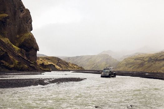 Þórsmörk Super Jeep Tourfrom 39.990 ISK · 6 h
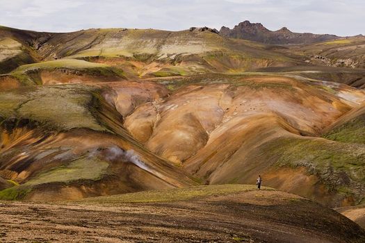 Landmannalaugar Super Jeep Day Tourfrom 44.990 ISK · 8 h
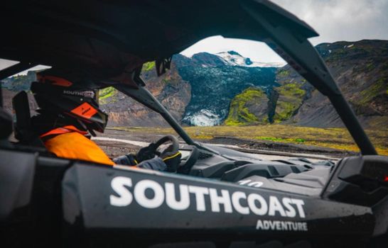 2.5-hour Buggy Adventure Ride in Icelandfrom 34.990 ISK · 2 h 30 min
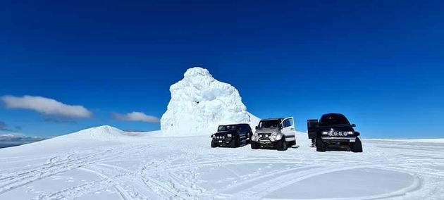 Eyjafjallajökull Volcano Super Jeep Tourfrom 39.990 ISK · 5 h
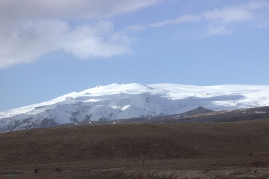 Eyjafjallajökull Hikefrom 65.990 ISK · 8 h 30 min
 Þórsmörk Super Jeep | Day Tour | Midgardfrom 39.000 ISK · 7 h
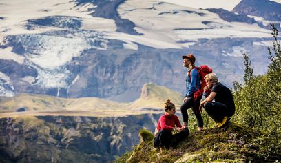 Þórsmörk Hike | Day Tour | Midgardfrom 32.000 ISK · 8 h
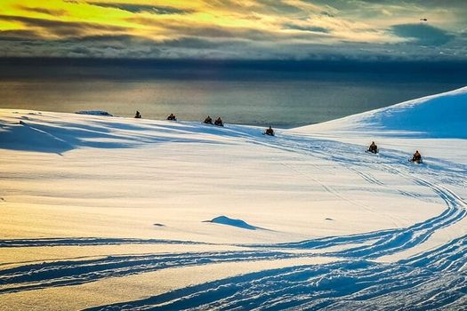 Snowmobiling on Eyjafjallajökullfrom 34.990 ISK · 3 h
 Solheimajokull Ice Climbing & Glacier Hikefrom 31.381 ISK · 4 h
 Early Bird Ice Cavefrom 25.000 ISK · 3 h 30 min
 Laugarás Lagoon Birki - Premium Lagoonfrom 9.900 ISK · 2 hAll 1,648 toursBy activity and region
Paradísarhellir weather and conditions
Last updated
7°Covercast2 m/swind9 h 48 mdaylight · 08:11 – 17:59

Tonight
Northern lights forecast by region
In season now · Winter in IcelandSolheimajokull Ice Climbing & Glacier Hikefrom 31.381 ISK · 4 hAll 1,648 tours
Cars & campers
−12%exclusive discountFree cancellation KEF airport pickup 24/74.8
KEF airport pickup 24/74.8
 Transmission
 Fuel
Fuel Seats
Seats Drive
Drive

 Sleeps
Photos & videos

No photos or videos yet
Been to Paradísarhellir? Help other travellers — add the first photo or video.
 Search YouTube
Nearby
km column = your drive
- 1
 Steinahellir13 km
 - 2
 Rútshellir21 km
 - 3
 Páskahellir23 km
 - 4Hundraðmannahellir24 km
- 5Snorraríki24 km

 Waterfalls

 Hot springs
- 1
Seljavallalaug18 km
- 2Geothermal hot spring near Hvolsvöllur22 km
- 3Geothermal hot spring near Vestmannaeyjabær24 km

 Fuel
Fuel
- 1
 Hvolsvöllur22 km · 310.9 kr/L
 - 2
 Vestmannaeyjar23 km · 308.7 kr/L
 - 3Hella34 km · 308.6 kr/L
 Supermarkets


 Tours
Tours
 Adrenaline Combo: Off-Road Buggy & Mega Zipline Experiencefrom 29.300 ISK · 3 hours
  Buggy Adventure in Þórsmörkfrom 89.990 ISK · 5 hours
  Bus transfer from Landmannalaugar to Hella / Reykjavikfrom 12.220 ISK · 4 hours
Frequently
asked
questions
Can I visit Paradísarhellir without a guide?
Paradísarhellir is generally open to self-guided visitors, but treat it seriously: it is dark and cold inside, the floor is uneven lava rock, and you must bring a head-torch and helmet. Never enter a cave alone or without telling someone your plans.
How do I get to Paradísarhellir?
Paradísarhellir is in South Coast. Many Icelandic caves sit off highland tracks that need a 4WD — check live road and weather conditions on this page before you drive, especially in winter when routes close.
What should I bring to Paradísarhellir?
A helmet and a proper head-torch or flashlight are the minimum — there is no daylight inside and the floor is broken lava rock. Add warm layers and sturdy boots; the cave stays near freezing year-round. Recommended gear: helmet, flashlight.
Does Paradísarhellir cost anything to visit?
Paradísarhellir is generally free to enter, though the access road may need a 4WD. Guided cave tours elsewhere in Iceland are paid. Conditions change with weather, so plan around the forecast.
Data & sources
Everything on this page comes from the sources below. Live feeds refresh automatically.
 VegagerðinVisitor access & practical facts
 VegagerðinLive road status & cameras · Icelandic Road Administration
 Open-MeteoWeather forecast · CC BY 4.0
 NOAA SWPCAurora (planetary Kp) forecast · public domain
 OpenStreetMapInteractive-map data · ODbL
 Esri, Maxar & Earthstar GeographicsSatellite imagery for the 3D terrain render · GIS User Community
Spotted an error, or have something to add? Help us keep this page accurate.
Iceland nowfrom 19 Sep 06:10