




 Road
Road  Weather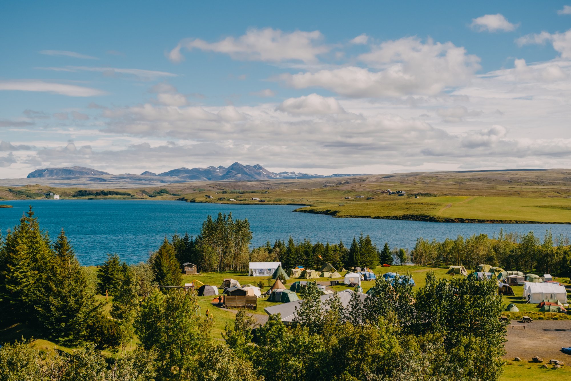


About
Úlfljótsvatn is one of Iceland's largest campsites, run by the Scout movement and able to hold up to 5,000 guests across 18 zones, many right by the lake. It's a family site with a climbing tower, kayaking, archery and fishing on the doorstep. Children stay free.
Úlfljótsvatn runs at a different scale from most Icelandic campsites. It's one of the largest in the country, split into 18 zones that can hold as many as 5,000 people, with plenty of pitches sitting right on the lake. The Scout movement has run it since 1941, and it shows in the setup: this is a family site built around activities. Kids can climb the tallest climbing tower in Iceland, kayak on the lake, or try archery at weekend sessions run by staff. Fishing in zone two is included, so you can catch a trout for the barbecue. Flat lakeside pitches come with electricity, and the service house has eight showers. There's cooking indoors, Wi-Fi and a golf course. One house rule worth noting: being drunk isn't welcome here.
Book ahead in summer, especially near popular spots. Campsites fill up by late afternoon.
Map of Úlfljótsvatn
64.0958°N, 21.0472°W · Reykjavík Area
Plan your visit
 Walk-ins
- Not accepted — book ahead
 Advance booking
- Not offered
 Getting there
- Road 360 (Írafoss-Nesjav.)
 Off the main road
- 1.7 km from Route 36
 Nearest town
- Hveragerði — 12.7 km away
 Distance from Reykjavík
- 44 km in a straight line
 What else is close
- 402 mapped places within 20 km
Tours near Úlfljótsvatn
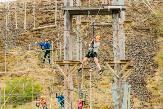 Adventure Park in Nesjavellir's Geothermal Rift Valleyfrom 4.900 ISK · 2 h
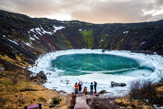 Kerið Admissionfrom 600 ISK · 1 h
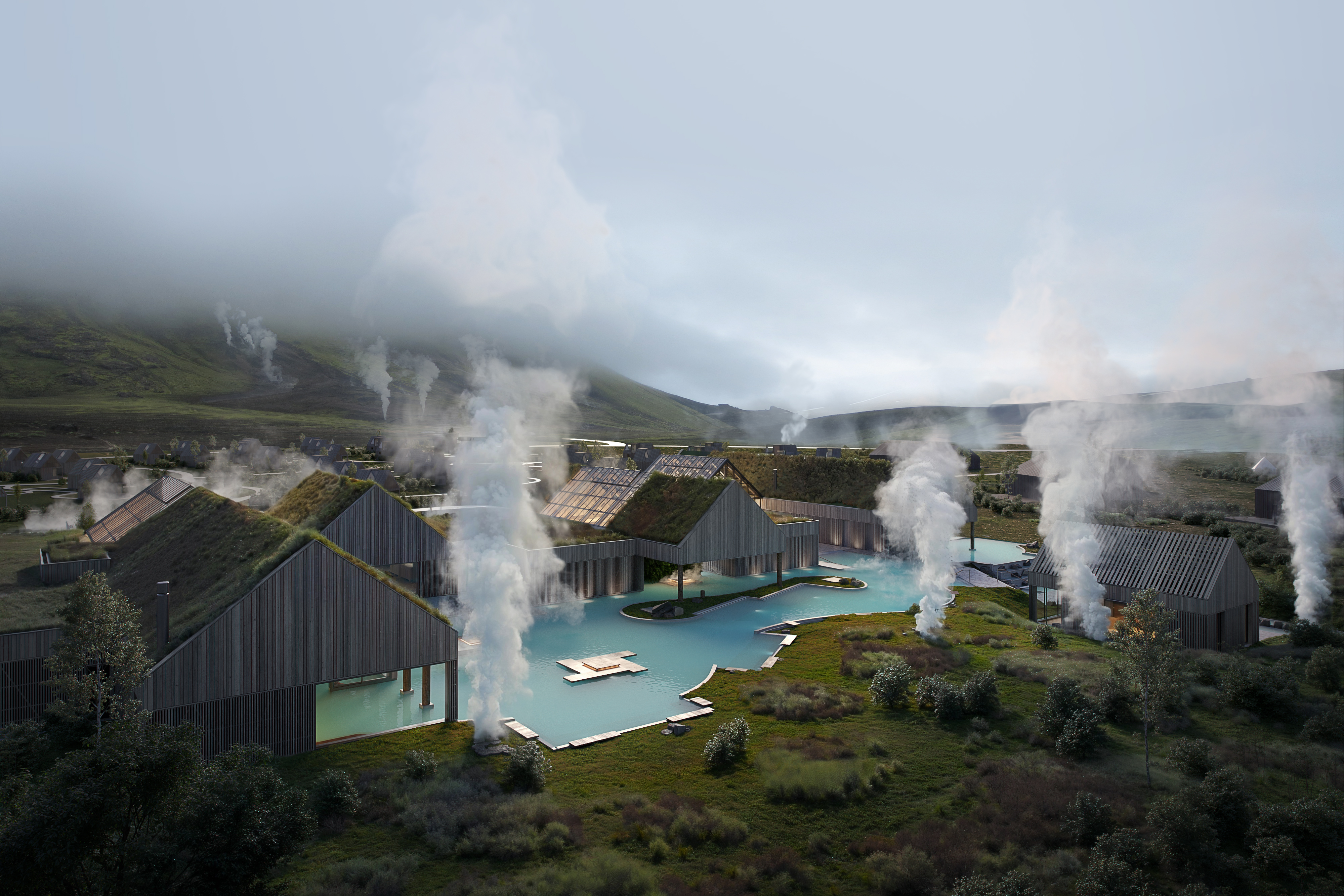 Hot Springs Pass - Classic Admissionfrom 8.900 ISK · 2 h
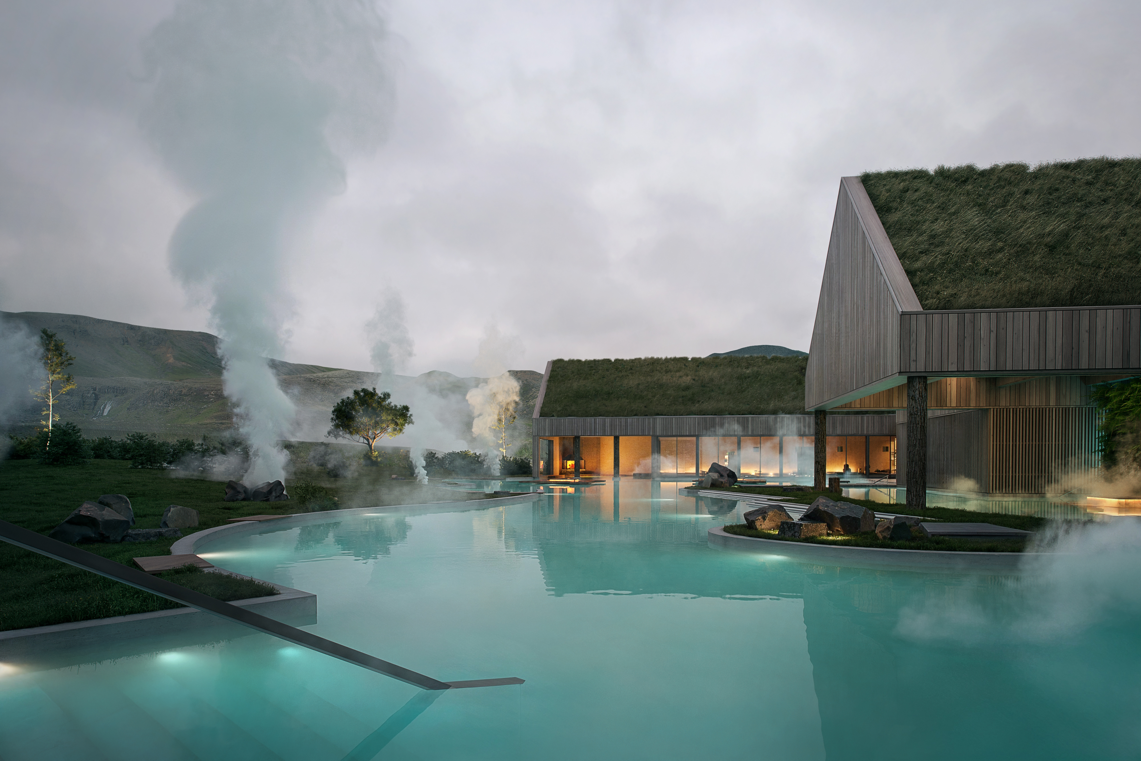 Hot Springs & Bathhouse Pass - Signature Admissionfrom 16.900 ISK · 3 h
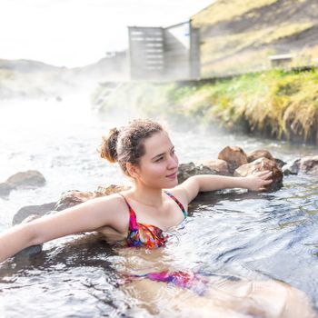 Reykjadalur Hot River Hike - Half Day Tourfrom 19.990 ISK · 4 h
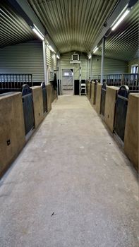 Hot Spring Valley Horse Riding Tour – Reykjadalurfrom 16.200 ISK · 2 h 15 min
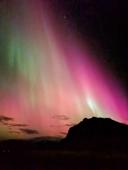 Northern Lights Hike to Reykjadalur Hot Riverfrom 13.842 ISK · 4 h
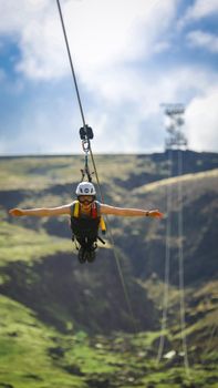 Mega Zipline - Superman Ride (Fast as a Falcon!)from 13.490 ISK · 55 min
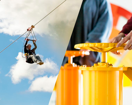 Geothermal Heights & Zipline Thrills: The Hellisheidi Geothermal Exhibition & Mega Zipline Adventurefrom 9.650 ISK · 3 h
 Blue Ice - Glacier Hike & Ice Climbing from Reykjavíkfrom 32.990 ISK · 13 h 30 min
 Golden Circle and Laugarás Lagoon Lerki Admissionfrom 23.039 ISK · 9 h 30 min
 Spirit of the Aurora (28 person max vehicle)from 14.990 ISK · 5 hAll 1,648 toursBy activity and region
Amenities
 Electricity
 Pets allowed on a leash
 Wheelchair accessible
 Wi-Fi
Wi-Fi Free for children
 Waste disposal for mobile homes
 Shower
 Washing machine
 Cold water
 Hot water
 Toilets
 Cooking facilities
 Walking paths
 Playground
 Golf course
 Fishing
Facilities listed by tjalda.is
Úlfljótsvatn weather and conditions
Last updated
- Adults
- 2,150 ISK per person / night
- Senior citizens and people with disabilities
- 1,270 ISK per person / night
- Youth (13–17 years) (13–17 years)
- 830 ISK per person / night
- Children
- Free
- Lodging unit fee
- 450 ISK per night
- Electricity
- 1,250 ISK per night
- Facility fee for day visitors: ISK 300 per day
Rates via tjalda.is · retrieved 2026-07-17

Cars & campers
 KEF airport pickup 24/74.8
 Transmission
 Fuel
Fuel Seats
Seats Drive
Drive

 Sleeps
Photos & videos
Nearby
km column = your drive
- 1Útilífsmiðstöð skáta Úlfljótsvatni< 1 km
- 2
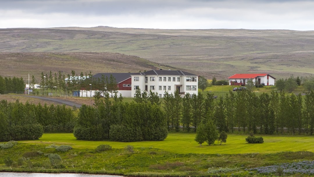 Tjaldsvæðið á Ljósafossi2 km
 - 3
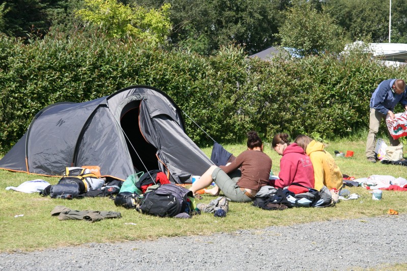 Hveragerði - Reykjamörk13 km
 - 4Tjaldsvæðið Í Hveragerði13 km
- 5Fagrabrekka20 km

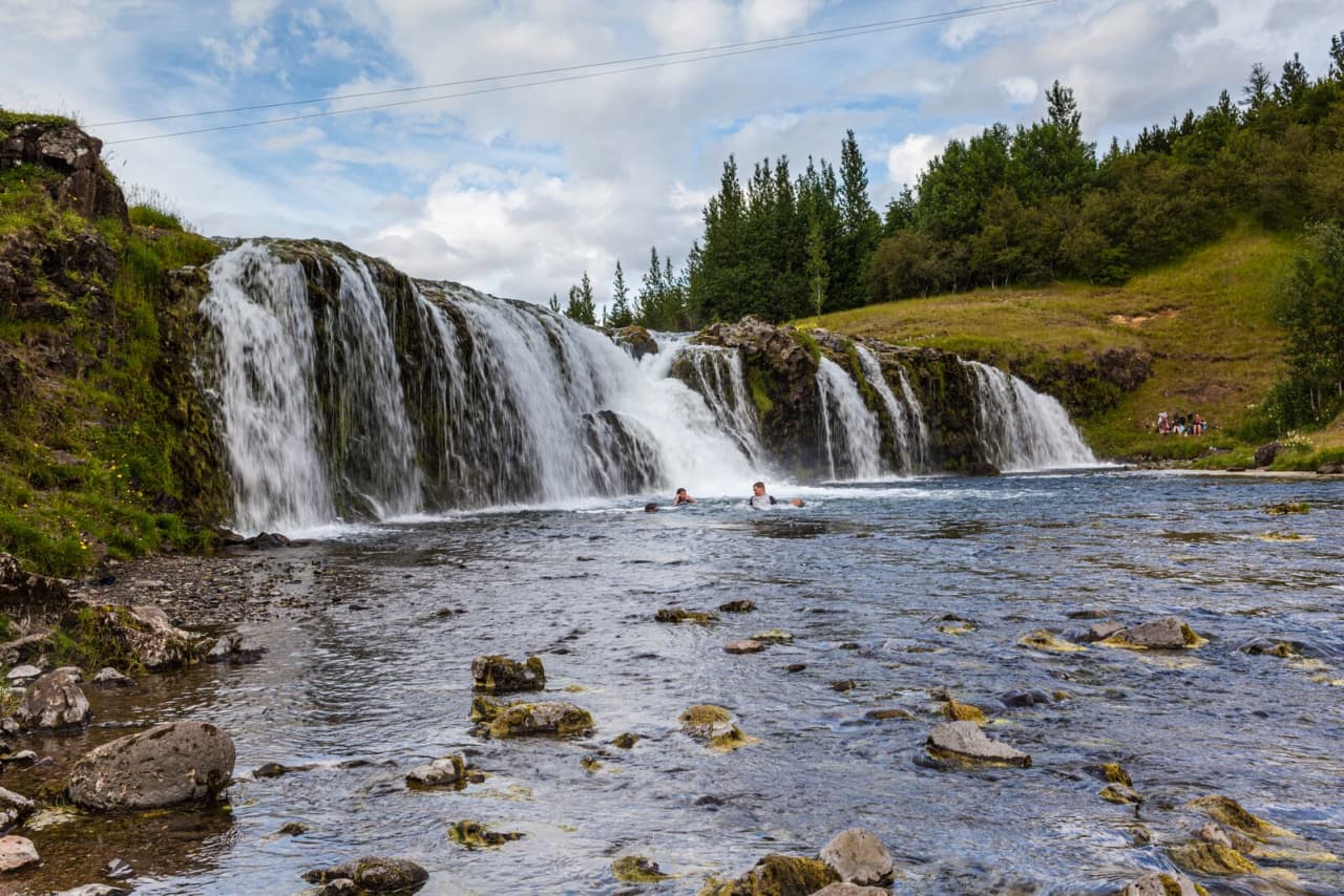
 Waterfalls

 Hot springs
- 1Geothermal hot spring near Ölfus10 km
- 2
 Reykjadalur Thermal River10 km
 - 3Natural hot pot near Grímsnes- og Grafningshreppur11 km

 Fuel
Fuel

 Supermarkets


 Tours
Tours
 A Gourmet golden circle - a taste of Iceland combined with amazing nature attractions!from 159.000 ISK · 8 hours
  A Magical Day in Iceland - a private custom made tour - Up to 9 passengersfrom 195.000 ISK · 8 hours
  Adventure in Landmannalaugar and Hot Springs - Reykjavík and Hellafrom 26.900 ISK · 13 hours
Frequently
asked
questions
Can I wild camp near Úlfljótsvatn instead?
Do I need to book Úlfljótsvatn in advance?
When is Úlfljótsvatn open?
What facilities does Úlfljótsvatn have?
How much does Úlfljótsvatn cost?
Data & sources
Everything on this page comes from the sources below. Live feeds refresh automatically.
 PhotographyHero & gallery photography · Photo: tjalda.is
 tjalda.isCampsite facts · About text by Map of Iceland (claude-opus-4-8, 2026-07)
 VegagerðinLive road status & cameras · Icelandic Road Administration
 Open-MeteoWeather forecast · CC BY 4.0
 NOAA SWPCAurora (planetary Kp) forecast · public domain
 OpenStreetMapInteractive-map data · ODbL
 Esri, Maxar & Earthstar GeographicsSatellite imagery for the 3D terrain render · GIS User Community
Spotted an error, or have something to add? Help us keep this page accurate.